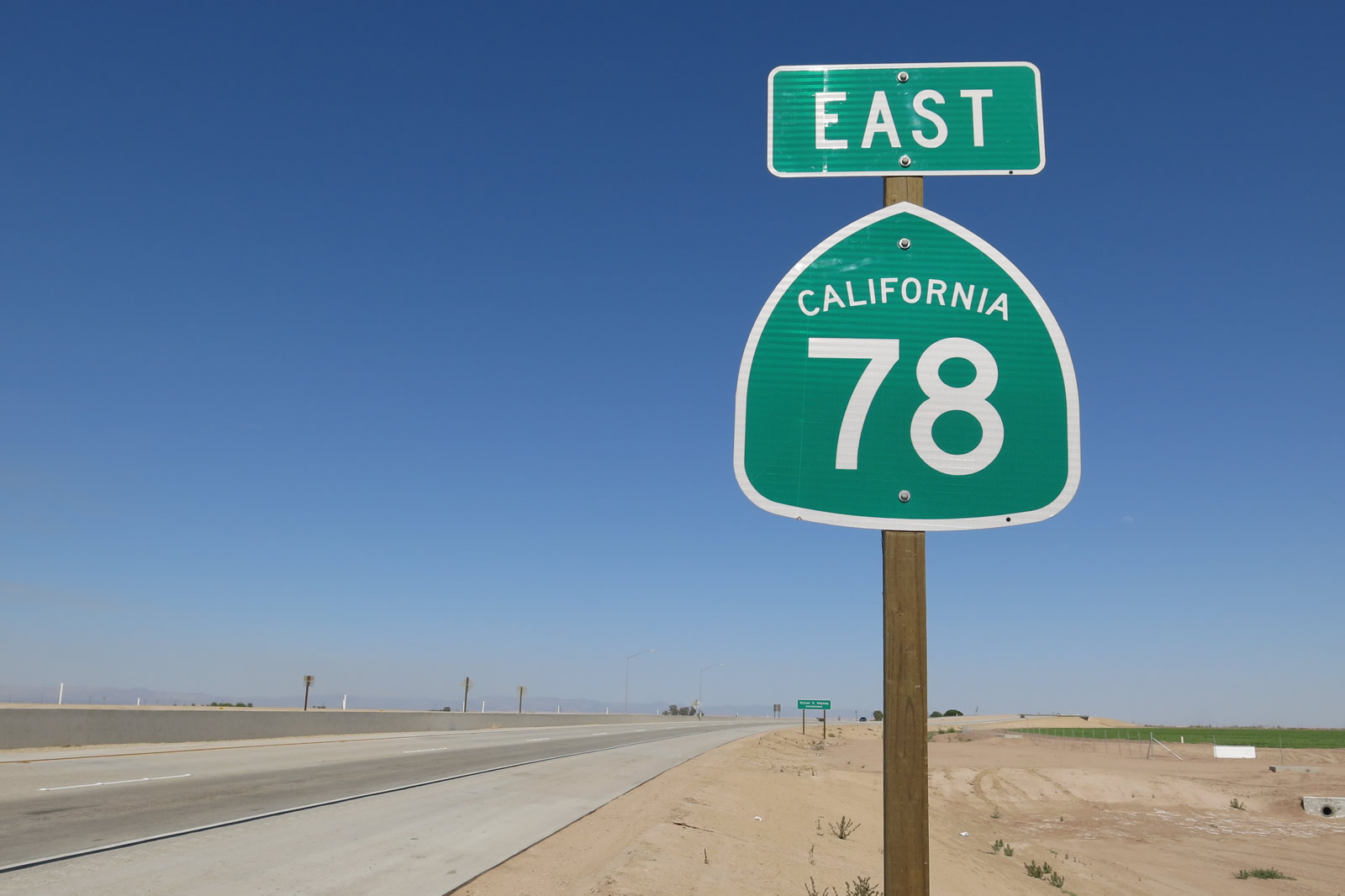
| California 78 (Julian Road) east and California 79 south |
|
Eastbound California 78 and southbound California 79 leave Santa Ysabel on their shared alignment and immediately begin to travel uphill. From here, the highway climbs into the Laguna Mountains toward Julian. Photo taken 08/25/07. |
|
|
A tire chains required sign is posted along California 78 east and California 79 north after the main intersection in Santa Ysabel. At the time this picture was taken, the sign was turned sideways since the chain law was not in effect. This yellow, porcelain enamel sign dates back to 1959 and is one of the oldest signs still in use in Southern California. Photos taken 04/19/08. |
|
Due to mountain curves, limited sight distances, and steep elevation changes, certain trucks and longer vehicles are not advised on the mountainous section of California 78. Photo taken 04/19/08. |
|
This mileage sign provides the distance to Julian (seven miles) and the junction with California 86 (58 miles). Photo taken 06/16/06. |
|
California 78 and California 79 are designated as the Steven Rucker Memorial Highway between Santa Ysabel and Julian, and the Steven Rucker Memorial Highway continues south along California 79 to Cuyamaca. The highway was designated in memory of Steven Rucker, a firefighter who lost his life battling the Cedar Fire of 2003, which devastated large areas of the San Diego County backcountry (with 15 fatalities, over 280,000 acres burned, and over 2,200 homes destroyed). Photo taken 06/16/06. |
|
A flip sign such as this one can be used to advise motorists of weather and traffic conditions or have a safety-oriented message. Photo taken 06/16/06. |
|
Permanent signs such as this one warn motorists of the need to maintain defensible space and be prepared for fire. Again this is a reminder of the toll the Cedar Fire took when it burned through the area in 2003. Photo taken 11/11/10. |
|
California 78 east and California 79 north gain elevation as they leave Santa Ysabel. Photo taken 04/19/08. |
|
At the top of the grade is a parking area for the Inaja Memorial Park. Photo taken 06/16/06. |
|
Operated by the Cleveland National Forest, Inaja Memorial Park offers a picnic area with scenic views of the surrounding valley. Near the Inaja parking lot, look closely for old alignments of California 78-79, some of which were built with concrete. Photo taken 06/16/06. |
|
California 78-79 proceed generally toward the east; the next community along the state highway will be Wynola. Now at an elevation in excess of 3,400 feet, watch for potential winter conditions such as snow and ice. Photo taken 06/16/06. |
|
|
|
|
|
| First traveling northeast and then turning southeast, California 78 and California 79 will pass through the unincorporated community of Wynola on the way to Julian. Wynola features food and shopping. The state route winds through several curves on its way through Wynola en route to Julian. Wynola Road, which intersects California 78 and California 79, travels east and provides an alternate route to Julian along with Farmer Road. Photos taken 06/16/06 and 11/11/10. |
|
|
|
|
|
|
|
|
|
|
| Leaving Wynola, California 78 and California 79 continue almost due east through open lands, then approach Pine Hills Road, which travels south to William Heise County Park. Photos taken 06/16/06 and 11/11/10. |
|
California 78 and California 79 meet Pine Hills Road at this intersection. Use Pine Hills Road south to William Heise County Park, which offers hiking, picnicking, and camping. Photo taken 11/11/10. |
|
Soon after the intersection with Pine Hills Road, eastbound California 78 and California 79 enter the historic district of Julian ("Four Seasons of Beauty and Fun"), an unincorporated community of San Diego County. Home to 1,502 people as of the 2010 Census, Julian has its roots in mining starting with a discovery of gold in 1869. Over time, the community has evolved to a mountain resort offering an alternative to the big-city bustle found closer to the coast. Due to its historical mining past, Julian is an official California Historical Landmark. A plaque describing Julian's history is found at the intersection of Washington Street and Main Street, which is the point where the state highway makes a 90-degree right turn at a stop sign. Photo taken 11/11/10. |
|
California 78 and California 79 enter Julian from the southwest. On the eastern edge of the community, the routes will divide, with California 78 proceeding east to travel down the Banner Grade en route to Borrego Springs and Brawley. California 79 turns south toward Cuyamaca and Descanso, where it will meet Interstate 8. There is no bypass of the historic downtown (other than Wynola Road). Having an alternate route to bypass downtown Julian can be important on days when festivals and other events are underway in the central business district (an example is the Apple Days festival held each autumn, which can bring traffic jams along this stretch of state highway). Photo taken 11/11/10. |
|
The speed limit on California 78-79 reduces as the state highway curves into Julian. Watch for slow/stopped traffic. Photo taken 11/11/10. |
| California 78 east & 79 south |
|
Briefly traveling almost due north, California 78 and California 79 become known as Washington Street. The upcoming stop sign is with Main Street, and the state route will turn southeast on Main Street. Photo taken 11/11/10. |
|
Food, gas, shopping, and lodging are all available in Julian, with the majority of the attractions found on east-west Main Street. Parking can be found on most major roadways within the community, which is laid out on a grid pattern. Photo taken 11/11/10. |
|
|
A California 78 east and California 79 south trailblazer assembly is posted on northbound Washington Street prior to the intersection with eastbound Main Street. The two state routes are fairly well-signed through Julian. Photos taken 11/11/10. |
|
There are no traffic signals in Julian, so the busiest intersection in Julian (here at Washington Street and Main Street) is governed by a four-way stop sign. Note that both California 78 east and California 79 south turn right from northeastbound Washington Street onto southeastbound Main Street. Photo taken 11/11/10. |
|
The Julian Historical Landmark marker and plaque can be found at the southeastern corner of the intersection between Washington Street and Main Street. Photo taken 11/11/10. |
|
|
Eastbound California 78 and southbound California 79/Washington Street turn onto eastbound Main Street in the central business area of Julian. At this intersection, the roadway is actually facing due north. The tiny white arrows posted on this sign point to various restaurants and shops along the main strip of downtown Julian, which is known for antique stores, restaurants, and apple pie. Photos taken 11/11/10. |
|
Leaving Washington Street behind, this view looks east along Main Street (California 78 and California 79) in downtown Julian. Photo taken 06/16/06. |
|
Julian is famously known for its apple pie. Photo taken 06/16/06. |
|
Most of the buildings that line Main Street in Julian feature an Old West facade. Photo taken 11/11/10. |
|
Many of the sidewalks along Main Street have awnings to protect visitors to the historic district of Julian from the elements. Photo taken 06/16/06. |
|
California 78-79 continue east along Main Street as we leave the central business area. Photo taken 06/16/06. |
|
California 78 east and California 79 south split just east of downtown Julian. Take California 78 east ahead to Borrego Springs, California 86, Westmorland, Brawley, Glamis, Palo Verde, and Blythe. Use California 79 south to Cuyamaca, Cuyamaca Rancho State Park, Descanso, and Interstate 8. Photo taken 06/16/06. |
|
A pair of California 78 and California 79 trailblazers is posted at the point where the two routes separate. Photo taken 06/16/06. |
| California 78 east |
|
Soon thereafter, California 78 prepares to descend Banner Grade, which takes motorists on a slow and winding descent from the Laguna Mountains down to the Imperial Valley floor. It takes a good amount of time to travel the seven miles of slow curves on the way down into the valley. This area was scorched by a major wildfire in August 2002. Photo taken 03/15/02. |
|
Burnt trees and chaparral from the October 2007 Wildfires were still visible on the slopes along California 78. Photo taken 04/19/08. |
|
This view is afforded along eastbound California 78 on the way down Banner Grade. Photo taken 04/19/08. |
| California 78 east |
|
Eastbound California 78 meets San Diego County S-2 (San Felipe Road), which travels northwest toward California 79 south of Warner Springs. Photo taken 05/04/02. |
|
After the second intersection with San Diego County S-2, this mileage sign provides the distance to Ocotillo Wells (22 miles), California 86 (39 miles), and Brawley (62 miles). Ocotillo Wells (located east of here on California 78) is not to be confused with Ocotillo, the community in Imperial County at the intersection of CR S-2 and Interstate 8. Photo taken 04/19/08. |
|
The mileage sign has a button-copy California 86 shield perimeter even though the rest of the sign is reflective. Photo taken 04/19/08. |
|
The Brawley Bypass begins its eastbound journey at the signalized intersection between California 86 and Fredricks Road northwest of Brawley and southeast of Westmorland. This view looks east along the bypass at the initial traffic signal. Photo taken 04/20/13. |
|
Leaving the California 86 intersection, we find this California 78 east reassurance shield along the Brawley Bypass. Due to its recent construction and opening, no services were along the route when we drove it in April 2013, but most services could be found along California 86 or Old Highway 111 in and around downtown Brawley. Photo taken 04/20/13. |
|
California 78 (Brawley Bypass) is a four-lane, divided expressway that avoids downtown Brawley by staying north of the city center. The entire bypass is paved in concrete in both directions. Photo taken 04/20/13. |
|
This segment of California 78 is named in honor of Victor V. Veysey. Photo taken 04/20/13. |
|
Light traffic was found along the bypass when we passed through the area, but there's no doubt it will become very well traveled once people learn of the new bypass and incorporate it into their travel plans. Photo taken 04/20/13. |
|
Another California 78 east reassurance shield is found on the Victor V. Veysey Expressway (Brawley Bypass) just prior to the Kalin Road undercrossing. Photo taken 04/20/13. |
|
California 78 is grade separated from Kalin Road with no direct access. Photo taken 04/20/13. |
|
|
|
|
|
| California 78 proceeds east along the Victor V. Veysey Expressway (Brawley Bypass) between the Kalin Road grade separation and the at-grade intersection with Brandt Road. Turn right on Brandt Road to access northwestern Brawley, including a large residential area. Photos taken 04/20/13. |
|
|
The next at-grade intersection along eastbound California 78 (Victor V. Veysey Expressway) is with Hovley Road. Photos taken 04/20/13. |
|
Guide signs for California 111 north to Calipatria and Old Highway 111 omit control cities. Photo taken 04/20/13. |
|
Just prior to the off-ramp to Exit 133, SR 78 spans the New River on the Douglas B. Dunaway Memorial Bridge. The New River, which travels from Mexicali north through the irrigated fields of the Imperial Valley, empties into the Salton Sea north of here. A combination of urban and agricultural runoff has made this river flow perenially in the arid desert, and the river contains pollutants as a result. Photo taken 04/20/13. |
|
A folded diamond interchange facilitates movements between California 78, California 111, and Old Highway 111 (Imperial County S-31). Photo taken 04/20/13. |
|
The exit ramp to California 111 north to Calipatria and Old Highway 111 (Imperial County S-31) south widens to two lanes. Photo taken 04/20/13. |
| California 78 east & south |
|
California 78 and California 111 join together as the expressway spans over Old Highway 111. Photo taken 04/20/13. |
|
Eastbound California 78 and southbound California 111 proceed over the railroad and will eventually descend back to grade. Photo taken 04/20/13. |
|
California 78 and California 111 pass over Brawley Beef Way Avenue. Photo taken 04/20/13. |
|
As California 78 and California 111 approach and meet Best Road, the bypass curves toward the southeast and then south. Photo taken 04/20/13. |
|
The change in directions from eastbound to southbound is fairly dramatic. Photo taken 04/20/13. |
|
Both carriageways (directions) of California 78 and California 111 consist of two-lane concrete with wide shoulders. Photo taken 04/20/13. |
|
California 78 and California 111 prepare to split at the signalized intersection with Main Street. Turn left for California 78 east to Glamis, Palo Verde, and Blythe. Turn right for Old California 78 west into downtown Brawley. Proceed ahead for California 111 south to El Centro and Calexico. This guide sign is inaccurate as it does not reflect the October 2012 shift of California 78 onto the bypass. Photo taken 04/20/13. |
|
California 78 and California 111 split at this intersection. Turn left for California 78 east or continue ahead for California 111 south. Photo taken 04/20/13. |
| Former California 78 (Main) east |
|
The split from California 86 at the intersection with First Street in Brawley, eastbound Main Street (former California 78) proceeds east into downtown Brawley. The next intersection is with Second Street, with the traffic signal connecting Main Street with Third Street. Photo taken 10/14/06. |
|
Eastbound California 78 (Main Street) approaches Third Street at the next traffic signal. Notable on this corner back in 2006 was the historic Planters Hotel, which was destroyed by arson fire on March 6, 2007. Planters Hotel opened for business in 1927, closed for renovation in 2005, and was gone by 2007. By 2012, a small park and parking lot had taken its place. Photo taken 10/14/06. |
|
Another view of the defunct and destroyed Planters Hotel is seen here along eastbound California 78 (Main Street) at Third Street in downtown Brawley. Photo taken 10/14/06. |
|
Eastbound California 78 (Main Street) next approaches Plaza Street after passing the Planters Hotel. Plaza Street forms a diamond-shaped loop around Plaza Park, which signifies the center of Brawley. Turn right to see Plaza Park. Photo taken 05/07/06. |
|
Plaza Park offers a nice oasis from the desert, complete with shade trees and grass. Brawley City Hall is located on the south side of Main Street in Plaza Park, which is divided by Main Street. The post office is located in Plaza Park on the north side of Main Street. Photo taken 05/07/06. |
|
Prior to the completion of the Brawley Bypass, a California 78 east reassurance shield was posted along eastbound Main Street near the center of Plaza Park in downtown Brawley. Photo taken 10/14/06. |
|
Leaving Plaza Park and intersecting with Plaza Street a second time, eastbound Main Street continues through the Brawley central business district. Due to the hot summer heat, the sidewalks are shaded by awnings from the adjacent buildings. Photo taken 10/14/06. |
|
Eastbound Main Street (former California 78) passes alongside several businesses in downtown Brawley. Ample parking lines both sides of Main Street. Photo taken 05/07/06. |
|
Continuing east, Main Street next approaches the intersection with Sixth Street. Given the covered sidewalks in downtown Brawley, the traffic signal mast arm is bolted into the awning over the sidewalk rather than attached to an independent pole. Photo taken 05/07/06. |
|
|
|
Two blocks later, eastbound Main Street meets Eighth Street at this traffic signal. At this point, former California 78 meets former California 111 and Imperial County S-31. Turn left onto Eighth Street north to California 111 north to Calipatria, Salton Sea State Park, Coachella, and Indio. Turn right onto Imperial County S-31 (Eighth Street) south to El Centro via Dogwood Road. These route markers (for California 78 and California 111) have likely been removed by 2012 (when the full extent of the Brawley Bypass had opened to traffic). S-31 is not signed along eastbound Main Street. Photos taken 05/07/06 and 10/14/06. |
|
This reassurance shield for eastbound California 78 and southbound California 111 was posted after the Imperial County S-31 intersection in downtown Brawley. By early 2012, this shield assembly solely showed California 78. Photo taken 08/27/04. |
|
Crossing the railroad tracks, former California 78 and California 111 followed Main Street east out of Brawley. Both state routes were rerouted off Main Street by 2013. Photo taken 05/07/06. |
|
Eastbound Former California 78 and southbound Former California 111/Main Street meets Cesar Chavez Street at this traffic signal. Photo taken 05/07/06. |
|
A set of California 78 and California 111 shields were posted along eastbound Main Street after the Cesar Chavez Street intersection. Photo taken 05/07/06. |
|
Eastbound Former California 78 and southbound Former California 111/Main Street meets Palm Avenue at this traffic signal in eastern Brawley. Photo taken 05/07/06. |
|
Main Street passes through an industrial area with palm trees lining the roadway. Photo taken 05/07/06. |
|
Eastbound Former California 78 and southbound Former California 111/Main Street meets Eastern Avenue at this traffic signal. Photo taken 05/07/06. |
|
This mileage sign provides the distance to Palo Verde (63 miles) and Blythe (83 miles) via California 78 east. Photo taken 05/07/06. |
|
Eastbound Former California 78 and southbound Former California 111 (Main Street) approach Old Highway 111 at the next traffic signal. To California 111 south, proceed ahead on Main Street eastbound. Photo taken 05/07/06. |
|
Main Street narrows to two lanes after the Old Highway 111 intersection. Photo taken 05/07/06. |
|
Eastbound Former California 78 and southbound Former California 111 (Main Street) next approaches California 78-111 (Brawley Bypass) at the upcoming traffic signal. This sign has likely changed to include both directions of California 78-111. Turn left for California 78 west and California 111 north or turn right for California 111 south. Photo taken 05/07/06. |
|
A mileage sign provides the distance to Holtville (via California 78 east and California 115 south) and Calexico via California 111 south. Photo taken 05/07/06. |
|
Eastbound Main Street meets California 78-111 (Brawley Bypass) at this traffic signal. Photo taken 05/07/06. |
Page Updated May 28, 2013.