

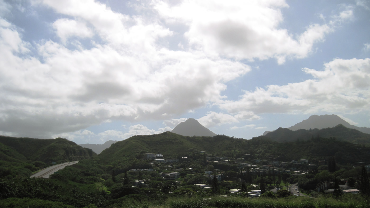
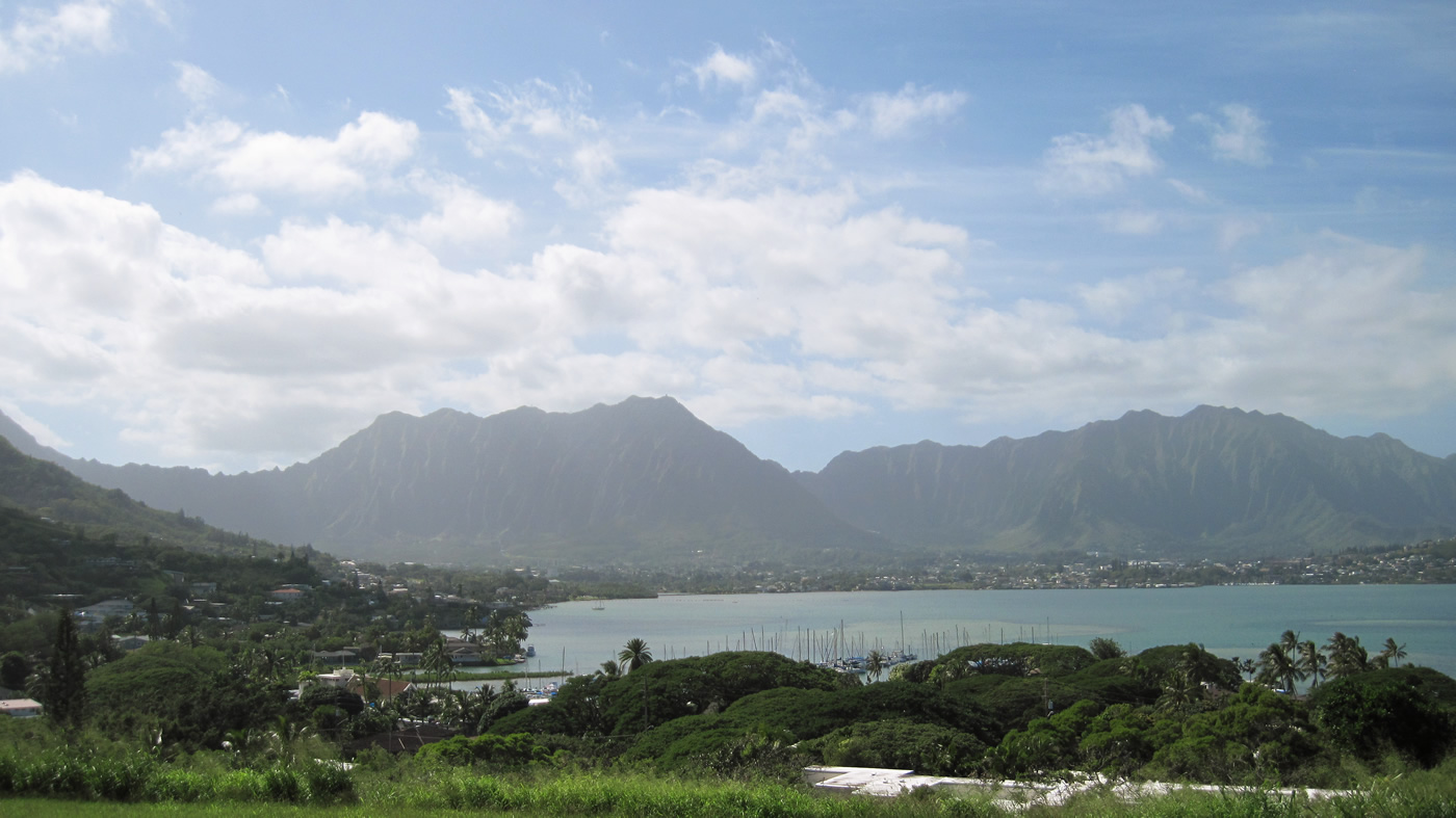
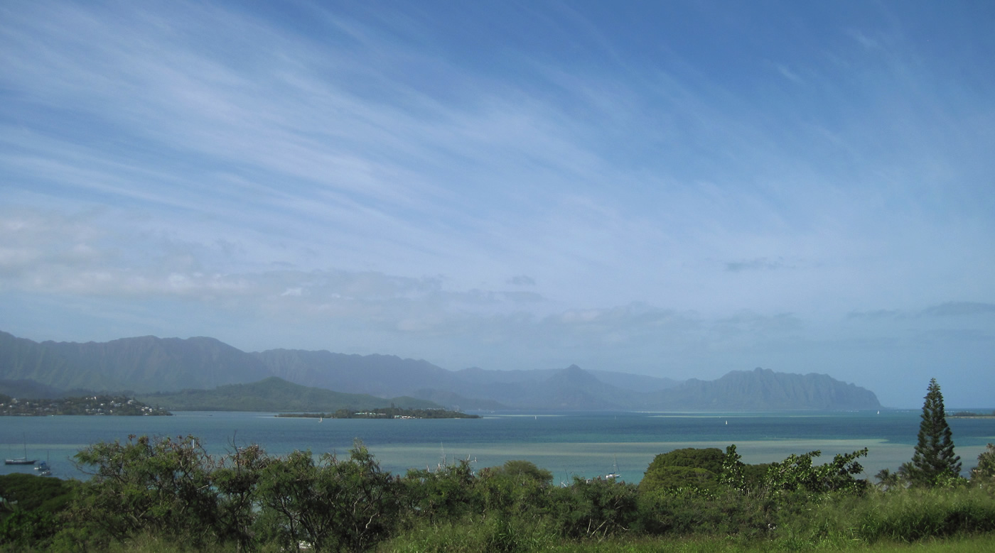
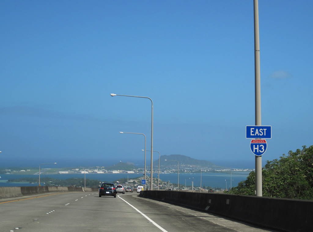
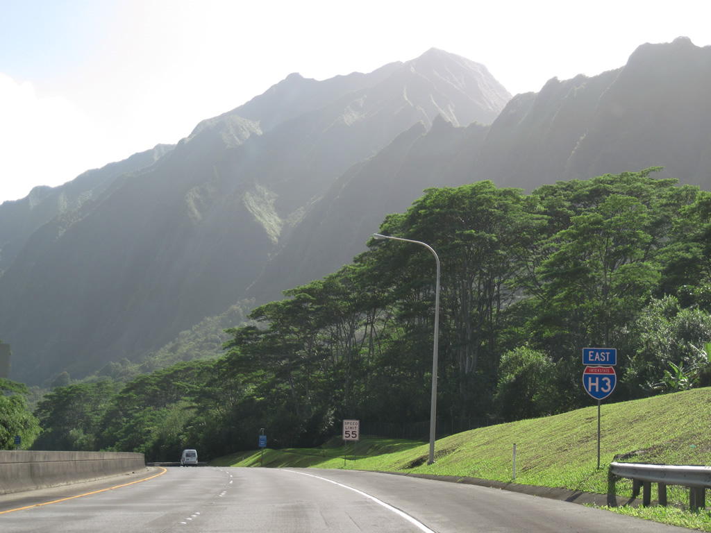
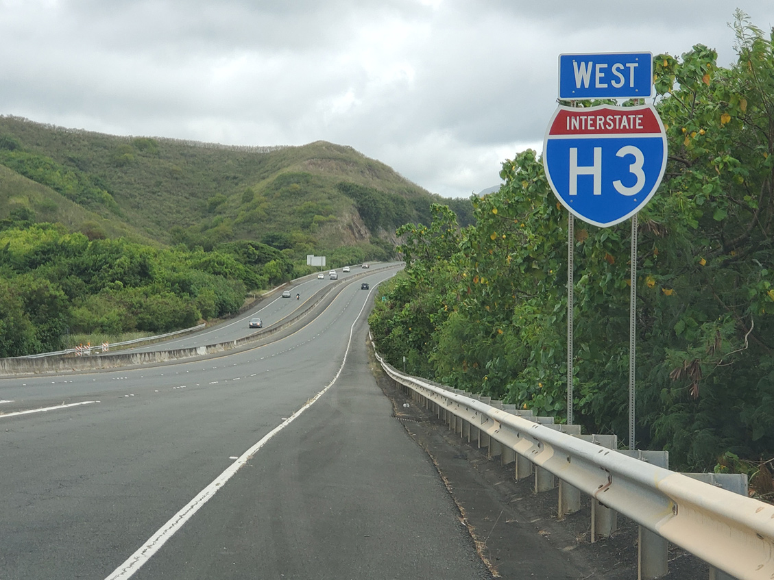
Views of Kane'ohe Bay and the Ko'olau Range from a vista point along Interstate H3 westbound. 01/17/11
Interstate H-3 is Hawaii's most beautiful and controversial freeway. Covering 16.1 miles from the Halawa Interchange north to Marine Corps Base Hawaii (MCBH), the Hawaii Highway Department of Transportation (HDOT) GIS data inventories I-H3 at 15.316 miles in length. Providing a third crossing over the Koolau Range, the freeway opened in 1997, 25 years after the initial construction on the North Shore and 37 years after the route was first proposed.
Interstate H3 Guides
As part of statehood, a network of interstate highways was proposed for Hawaii. Interstate H3 was designed to run from Pearl Harbor to Marine Corps Air Station (MCAS) Kaneohe Bay, to serve troop and equipment movements across the island.
Due to priorities being H-1 and H-2, H-3 started incurring delays. H-3 was the first project in Hawaii to require an Environmental Impact Statement (EIS), and the selected route through Moanalua Valley ran into intense community opposition. North shore residents were opposed to H-3, as they did not want their side of the island to become as urbanized as Honolulu.
Construction began by 1972, between the Pali Golf Course and MCAS Kaneohe Bay on the North Shore, and on the Halawa interchange. The remaining section between Halawa and the Pali Golf Course was tied up in litigation, with the planned route still traversing Moanalua Valley.

The following is a timeline on litigation and delays in I-H3 construction:
- 1977 - After litigation and declaration of Moanalua Valley as a historic landmark, I-H3 was rerouted through North Halawa Valley.
- 1980 - EIS approved for the North Halawa Valley route.
- 1981 - The court order stopping construction through Moanalua Valley was found to cover North Halawa Valley as well. Final approval on the route gained from Federal Highway Administration (FHWA).
- 1982 - Second supplemental EIS required as condition of dissolving previous injunction stopping construction.
- 1983 - Halekou Interchange with Kamehameha Highway construction started.
- 1984 - On appeal, the injunction halting construction was reinstated.
- 1986 - An exemption to federal law was signed allowing construction to resume.
- 1987 - All injunctions were lifted and construction resumed on the Halekou Interchange. Third supplemental EIS approved.
- 1997 - Freeway completed and opened on December 12.
As research and construction began on Interstate H-3 through Halawa Valley, several native Hawaiian burial sites were destroyed. Opposition through the late 1970s onward to I-H3 centered around these native Hawaiian spiritual sites. Ironically, it is believed that the Moanalua Valley route today would have had the least impact on native Hawaiian cultural sites.
Interstate H3 is named for former governor John A. Burns. The Tetsuo Harano Tunnels are named for retired Hawaii DOT chief Tetsuo Harano, who worked on H-3 during his entire career with HDOT.
 Archive - East
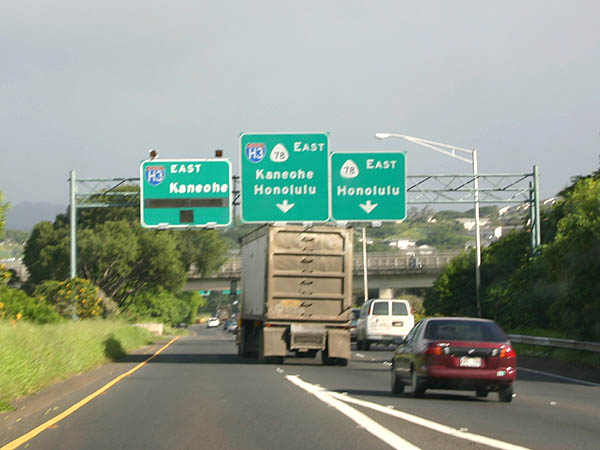
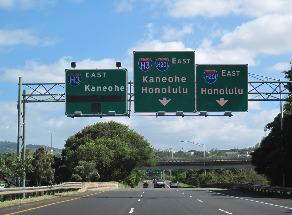
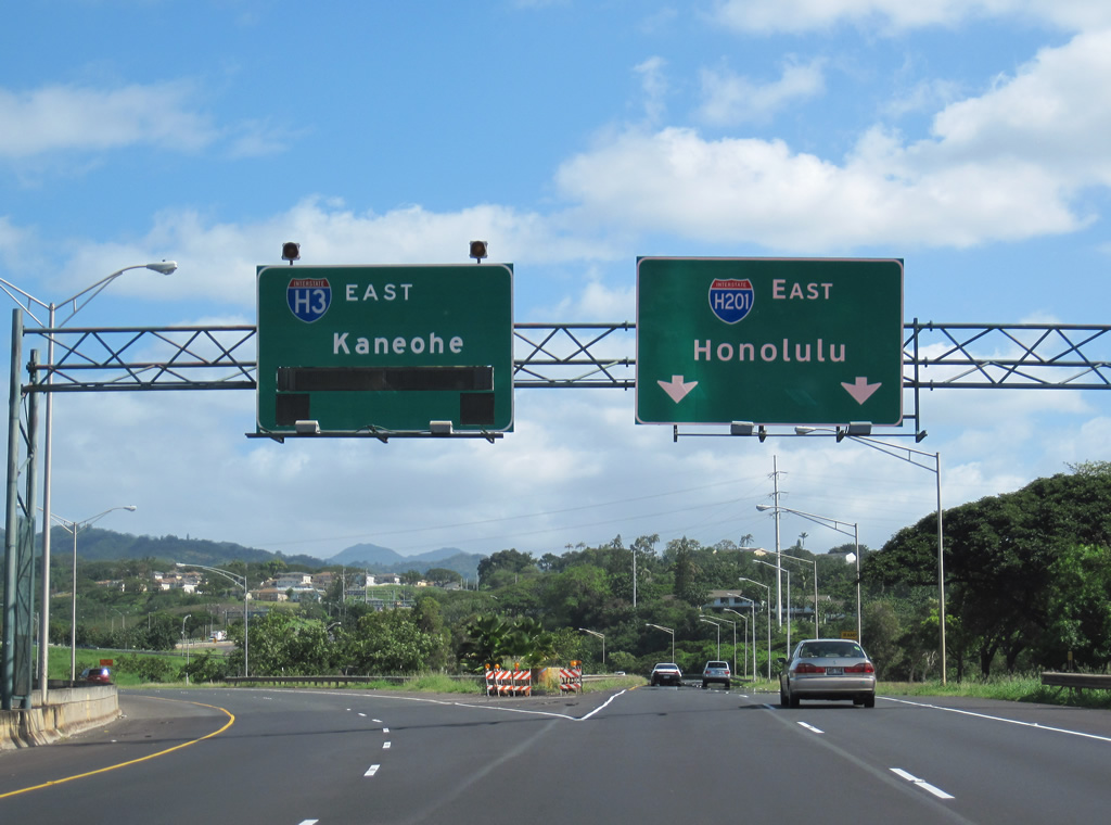
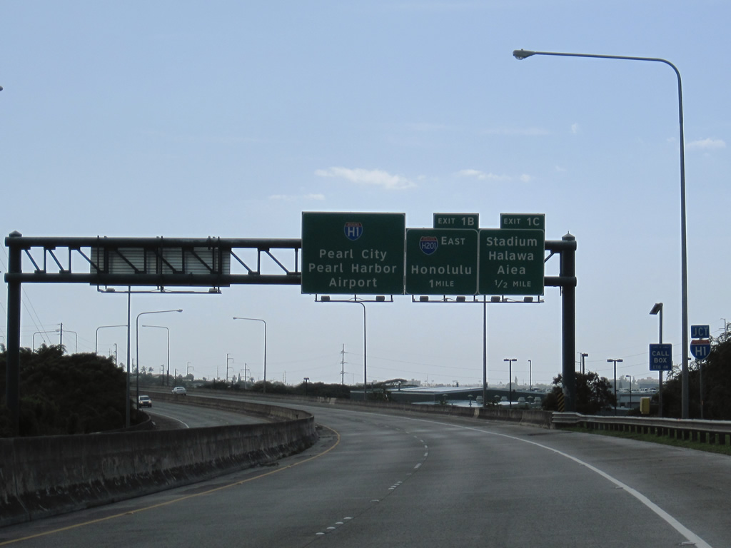
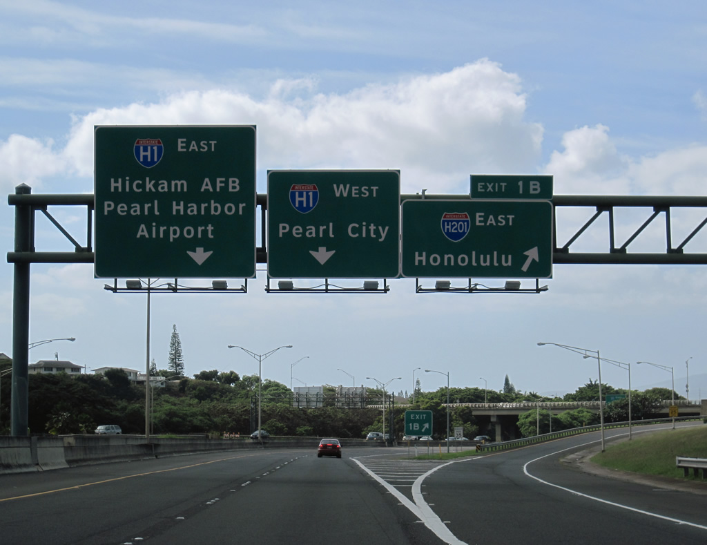
I-H3 east at the Moanalua Freeway prior to the renumbering of Route 78 into Interstate H201.
07/08/04
01/17/11
01/17/11
01/17/11
01/17/11

01/17/11
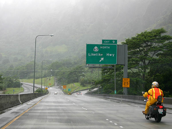
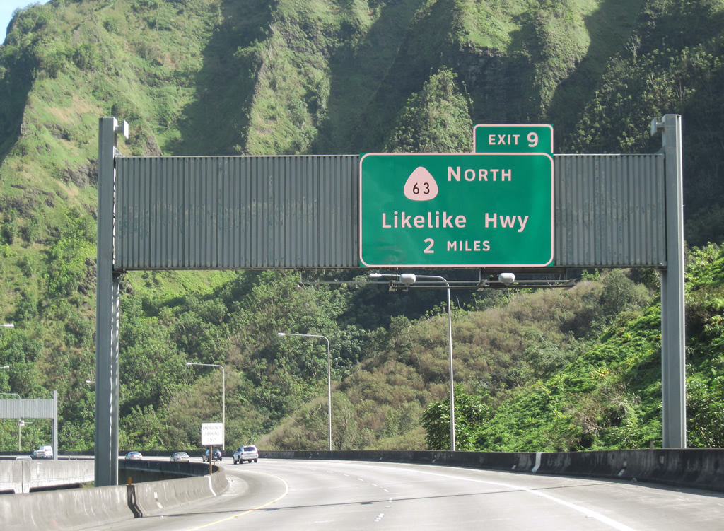
The overhead for Route 63 (Likelike Highway) at Exit 9 was replaced with a sign using Clearview font between 2004 and 2010.
07/08/04

01/17/11
01/17/11
07/08/04

01/17/11

07/08/04
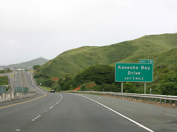
Replaced guide sign using Highway Gothic font for Kaneohe Bay Drive.
07/08/04
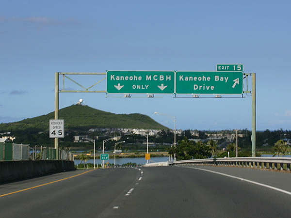
The overheads at Exit 15 were carbon copied by 2010.
07/08/04

01/17/11

01/17/11
A concrete barrier now separates visitors from military personnel entering Kaneohe MCBH. The right lane is reserved for visitors to the marine base.
01/17/11

08/09/10
Archive - West
01/17/11
08/15/19
01/17/11

01/17/11
01/17/11

01/17/11
http://www.hawaii.gov/dot/ publicaffairs/h-3/history.pdfHawaii Department of Transportation.- http://www.hawaiihighways.com/ photos-Interstate-H3.htm Oscar Voss.
http://starbulletin.com/ 97/12/03/news/story2.htmlHonolulu Star-Bulletin (HI) December 3, 1997.
Connect with:
Interstate H1 - Lunalilo Freeway / Queen Liliuokanai Freeway
Interstate H201 and Route 78
Route 63
Route 83
Page Updated 02-16-2024.