|
| CR S-19 (Live Oak Canyon Road) arcs east from CR S-18 (El Toro / Santiago Canyon Roads) and Cooks Corner into Live Oak Canyon. 03/09/08 |
|
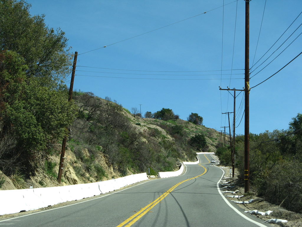
| Live Oak Canyon Road meanders east and then south three miles to O'Neill Park. 03/09/08 |
|
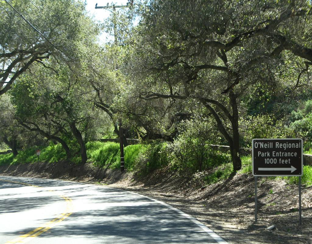
| O'Neill Regional Park includes areas to the west of CR S-19 and along the mostly dry Arroyo Trabuco. 03/09/08 |
|
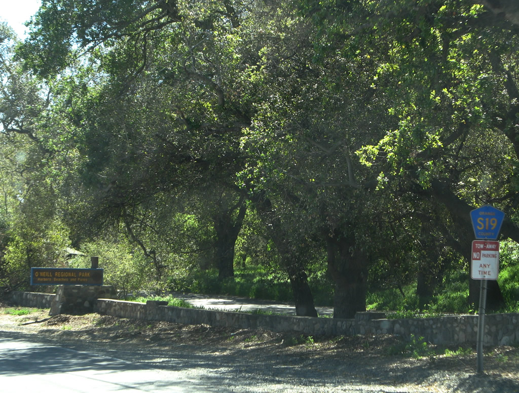
| Orange County S-19 shifts northeast onto Trabuco Canyon Road from the entrance to O'Neill Regional Park. 03/09/08 |
|
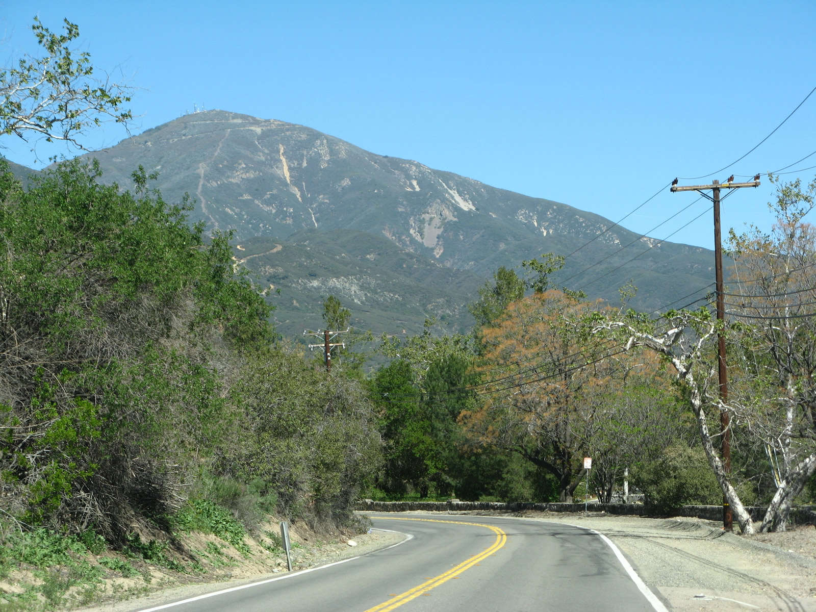
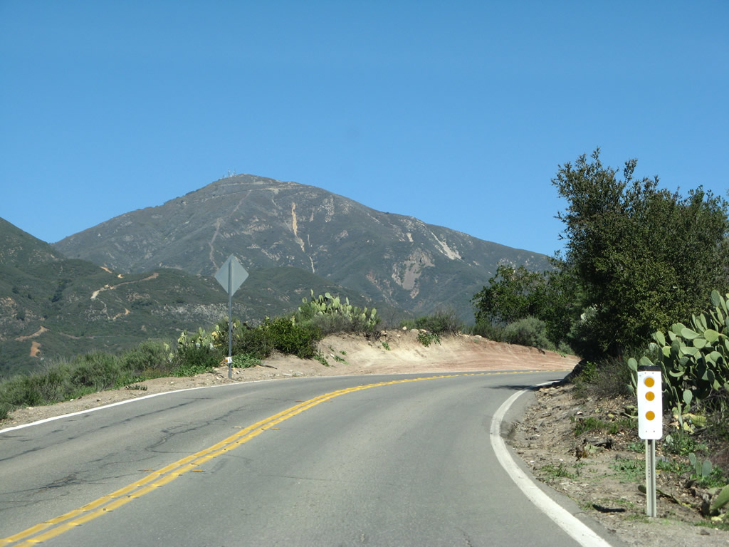
| Santiago Peak rises prominently in this scene looking northeast along Trabuco Canyon Road. The summit lies at the corner of Riverside and Orange Counties. 03/09/08 |
|
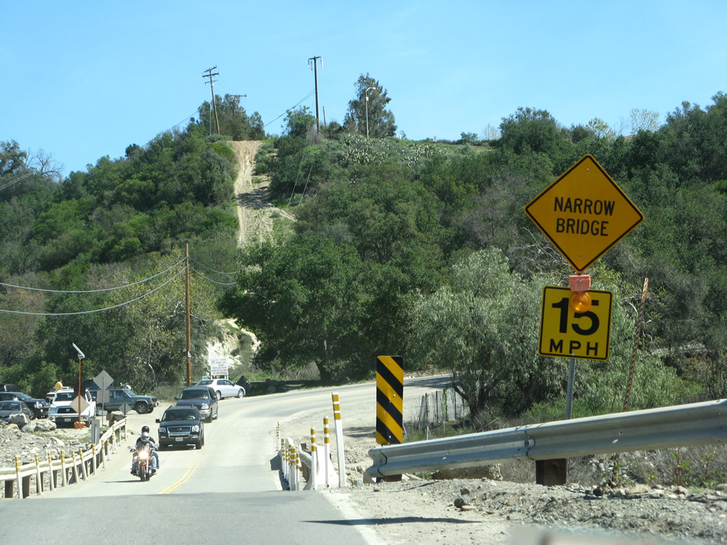
| CR S-19 (Trabuco Canyon Road) spans the Arroyo Trabuco over an Arizona crossing bridge. 03/09/08 |
|
| A glimpse at Santiago Peak [Old Saddleback] (el. 5,687 feet) from Trabuco Canyon Road as it navigates through a horseshoe curve to the immediate east Arroyo Trabuco. 03/09/08 |
|
| Suburbia spreads along the south side of County Road S-19. CR S-19 comes to an abrupt and unsigned end at the forthcoming turn of Trabuco Canyon Road onto Plano Trabuco Road south. 03/09/08 |
|
| Plano Trabuco Road leads south to Santa Margarita Parkway west toward Ladera Ranch and Dove Canyon Drive east to Coto de Caza. 03/09/08 |
Page Updated 08-16-2017.