|
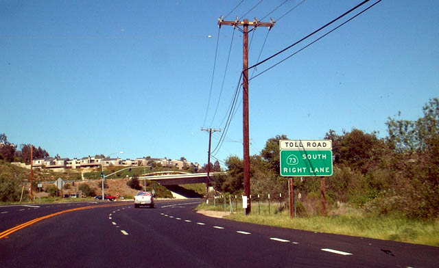
| Northbound Orange County S-18 (El Toro Road) approaches SR 73 (San Joaquin Hills Transportation Corridor) south to San Clemente. 03/30/03 |
|
| A diamond interchange (Exit 5) joins CR S-18 (El Toro Road) with SR 73 (San Joaquin Transportation Corridor). 03/30/03 |
|
| A reassurance marker for Orange County S-18 stands along El Toro Road north after the parclo interchange with Interstate 5. 07/13/09 |
|
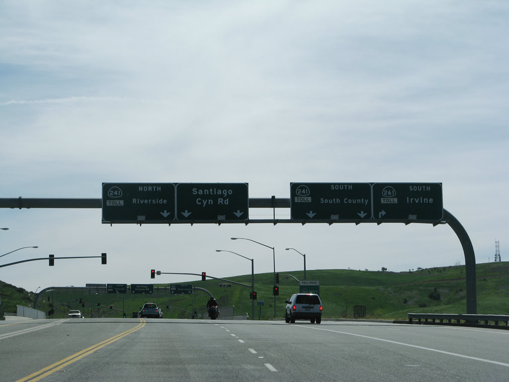
| Leaving the intersection with Jamboree Road, Orange County S-18 (Santiago Canyon Road) south approaches SR 241 and 261, both parts of the Orange County Toll Road system. The initial ramp connect with to SR 261 south to Irvine. 03/09/08 |
|
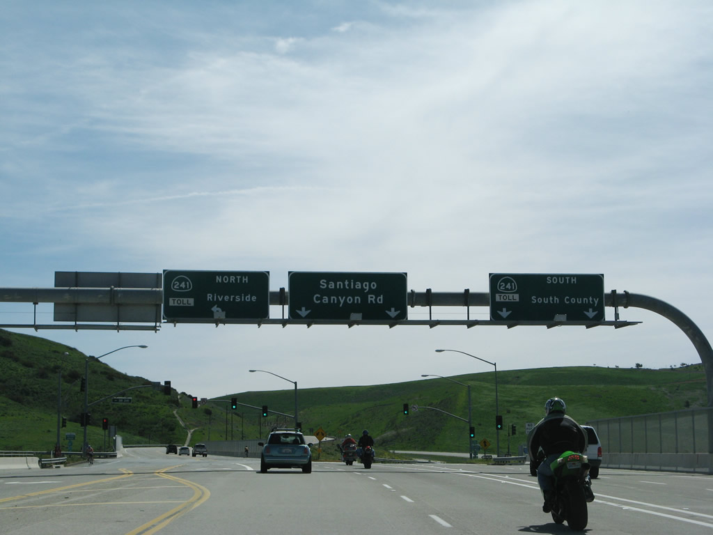
| Entering the diamond interchange with SR 261 south and SR 241 north on CR S-18 (Santiago Canyon Road) south. SR 261 splits from SR 241 at an adjacent wye interchange. 03/09/08 |
|
| SR 261 is a short toll road that travels to Interstate 5 and Jamboree Road south in Irvine. 03/09/08 |
|
| The ensuing left turn takes motorists onto SR 241 (Eastern Transportation Corridor) north to SR 91 in Santa Ana Canyon. 03/09/08 |
|
| CR S-18 (Santiago Canyon Road) initially parallels the SR 241 toll road south. The two routes diverge, with Loma Ridge separating them southward toward Lake Forest. 03/09/08 |
|
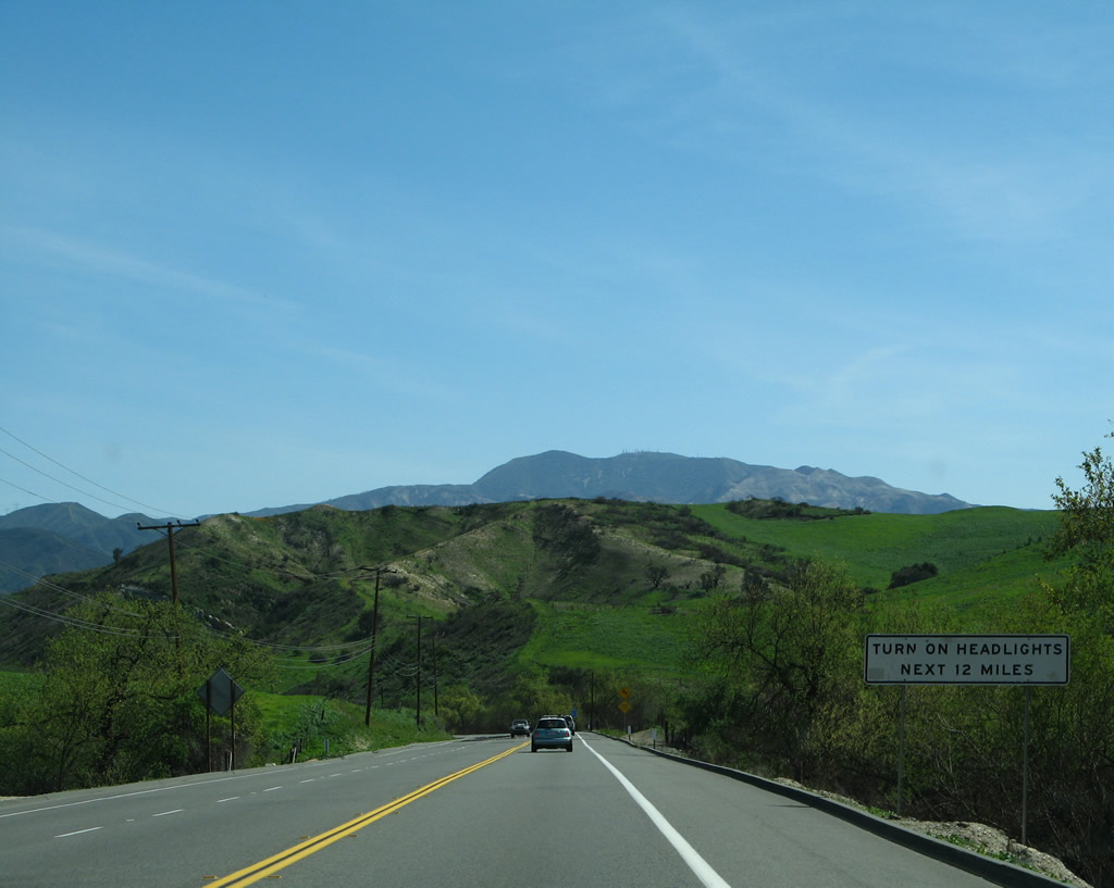
| The 12 mile drive southeast to Irvine Lake and Limestone Canyon is a highway safety corridor, requiring motorists to use daylight headlights. 03/09/08 |
|
| Santiago Canyon Road passes just south of Irvine Lake along the northern periphery of Loma Ridge. 03/09/08 |
|
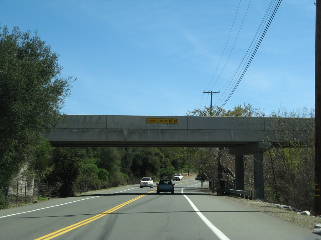
| Trending southeast, CR S-18 heads through Limestone Canyon to pass under Diamond Haul Road at this bridge. 03/09/08 |
|
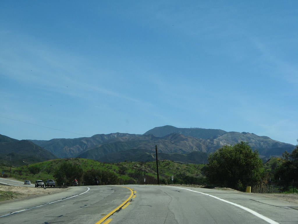
| The Santa Ana Mountains come into view in this scene along Santiago Canyon Road east. CR S-18 will remain on Santiago Canyon Road until reaching Cook' Corner. 03/09/08 |
|
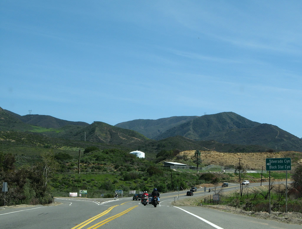
| Southbound CR S-18 (Santiago Canyon Road) approaches Silverado Canyon Road, which travels east to Silverado Canyon and Black Star Canyon. 03/09/08 |
|
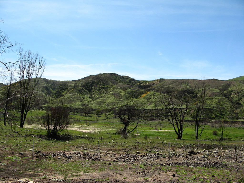
| Continuing southeast along the Santiago River, much of the area burned during wildfires in November 2007. The ensuing winter saw an array of green covering the adjacent mesas, with California poppies adding a splash of orange. Beyond this section, CR S-18 intersects Modjeska Canyon Road, which is the original alignment of CR S-18 before the current route was built. 03/09/08 |
|
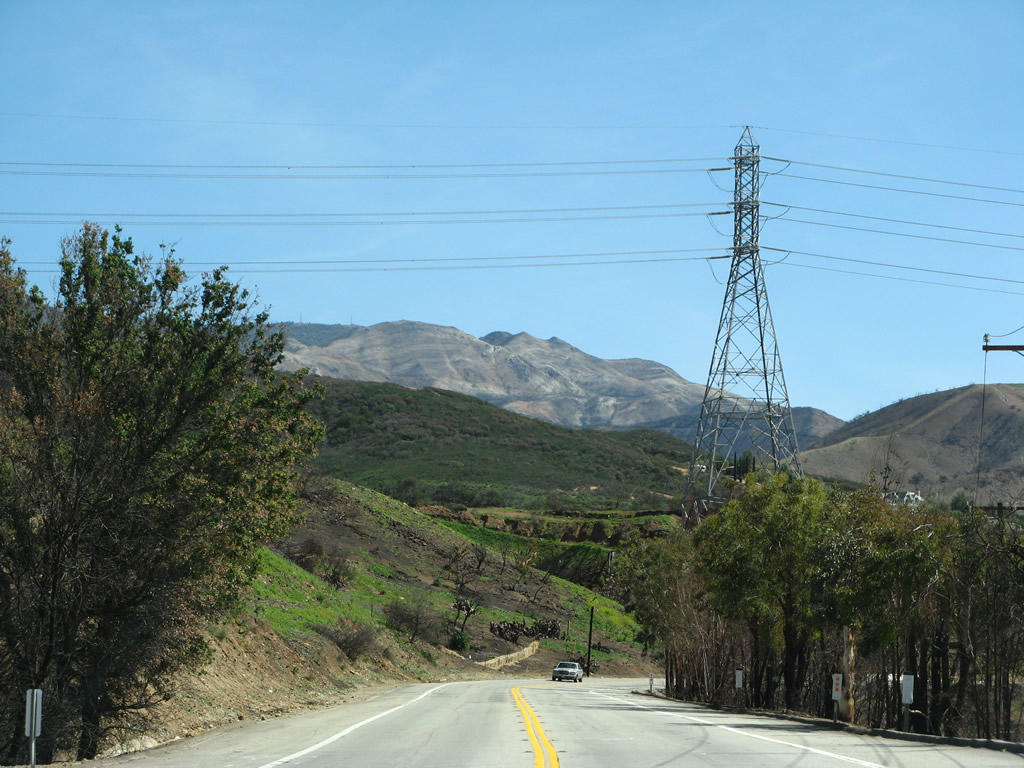
| Winding south from Modjeska Grade Road, CR S-18 proceeds toward Cooks Corner. A Southern California Edison 220kV power line crosses over the highway in this scene. 03/09/08 |
|
| Orange County S-18 (Santiago Canyon Road) and Orange County S-19 (Live Oak Canyon Road) come together at Cooks Corner. CR S-18 changes into El Toro Road ahead and turns southwest, while CR S-19 heads south toward Coto de Caza. 03/09/08 |
|
| El Toro Road extends CR S-18 south to Lake Forest and Interstate 5. 03/09/08 |
|
| CR S-18 (El Toro Road) meets SR 73 (San Joaquin Hills Transportation Corridor) at a diamond interchange, 0.8 miles ahead of its terminus at SR 133 (Laguna Canyon Road). 03/30/03 |
|
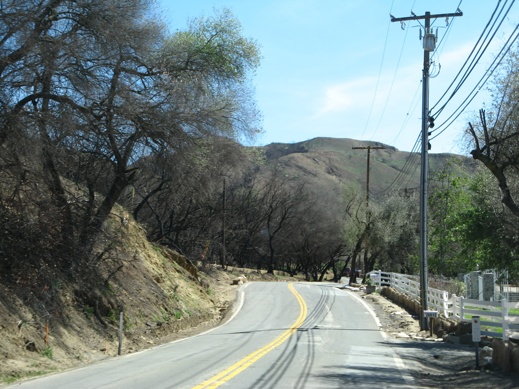
| This series of pictures shows the old alignment of County Road S-18 heading south along Modjeska Canyon Road to a switchback and older bridge near the community of Modjeska Canyon. 03/09/08 |
|
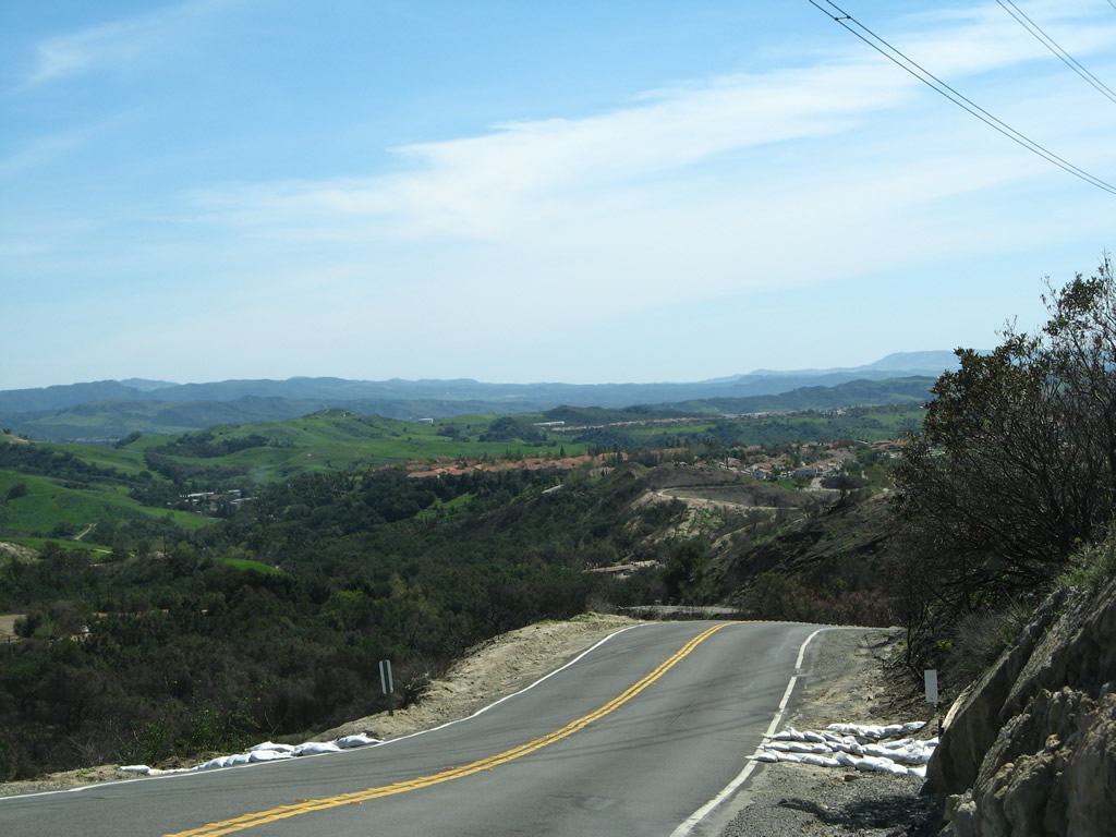
| Modjeska Canyon Road changes into Modjeska Grade Road beyond the span over Santiago Creek. Increasing in elevation, old CR S-18 crests to the south of Modjeska Canyon with a wide open view. A set of Southern California Edison 220kV transmission lines cross over the alignment. 03/09/08 |
|
| A number of hairpin turns punctuate the return to Santiago Canyon Road along Modjeska Grade Road. 03/09/08 |
Page Updated 08-16-2017.