

Business Loop I-10 - Blythe
This business loop is not listed in the 1991 state signing log, but it is well-signed as the western end. The eastern end is not as well-signed. The business loop begins at Exit 236, California 78 (Neighbors Boulevard). From Exit 236, Business Loop I-10 follows Neighbors Boulevard north briefly, then turns east onto Hobsonway (Old U.S. 60-70), then follows Hobson Way east into Downtown Blythe. The business route retuns to Interstate 10 near the Colorado River at the Riviera Drive interchange (Exit 243). To rejoin Interstate 10, the business loop follows Hobsonway to Queshan Park, then turns due south to pass under Interstate 10, and then it turns west briefly to the on-ramp back onto Interstate 10. This business route remains signed in both directions from mainline Interstate 10.
| California 78 & Business Loop I-10 east | |
|---|---|
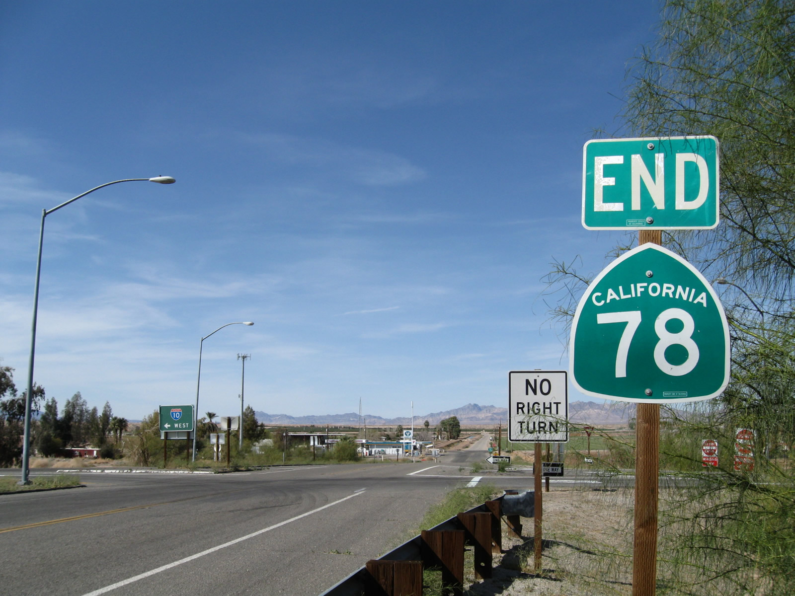 |
An end California 78 shield assembly is posted at the interchange with Interstate 10. Continue straight ahead to cross Interstate 10 and join Business Loop I-10 (U.S. 60-70) east toward downtown Blythe. Photo taken 03/14/09. |
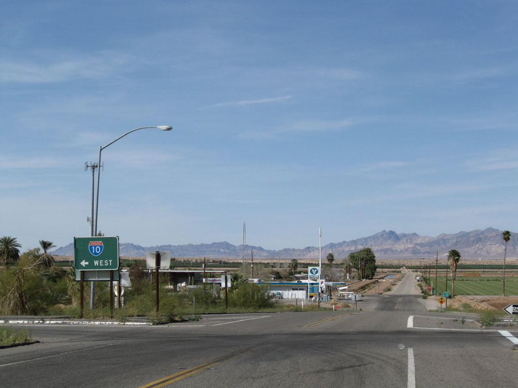 |
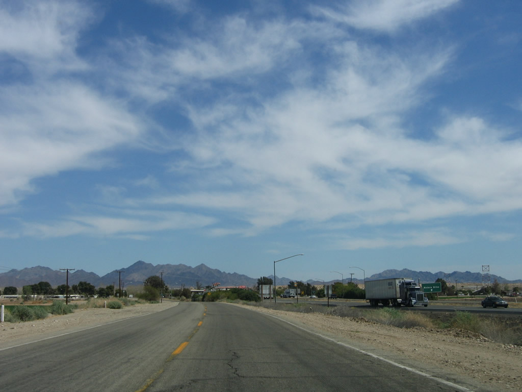
After the end shield, turn left here to Interstate 10 west to Indio, San Bernardino, and Los Angeles. Business Loop I-10 continues north to Hobsonway, where it turns east to follow Old U.S. 60-70 toward downtown Blythe. Photo taken 03/14/09. |
 |
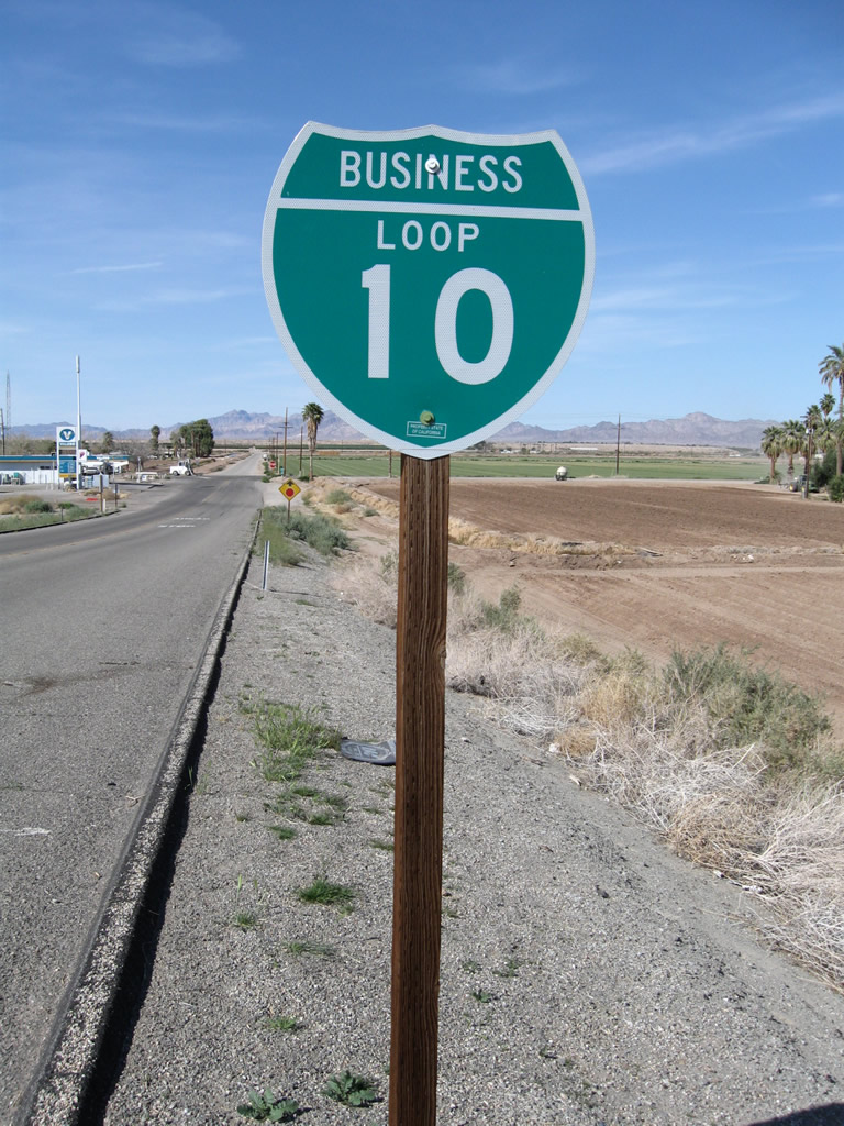 |
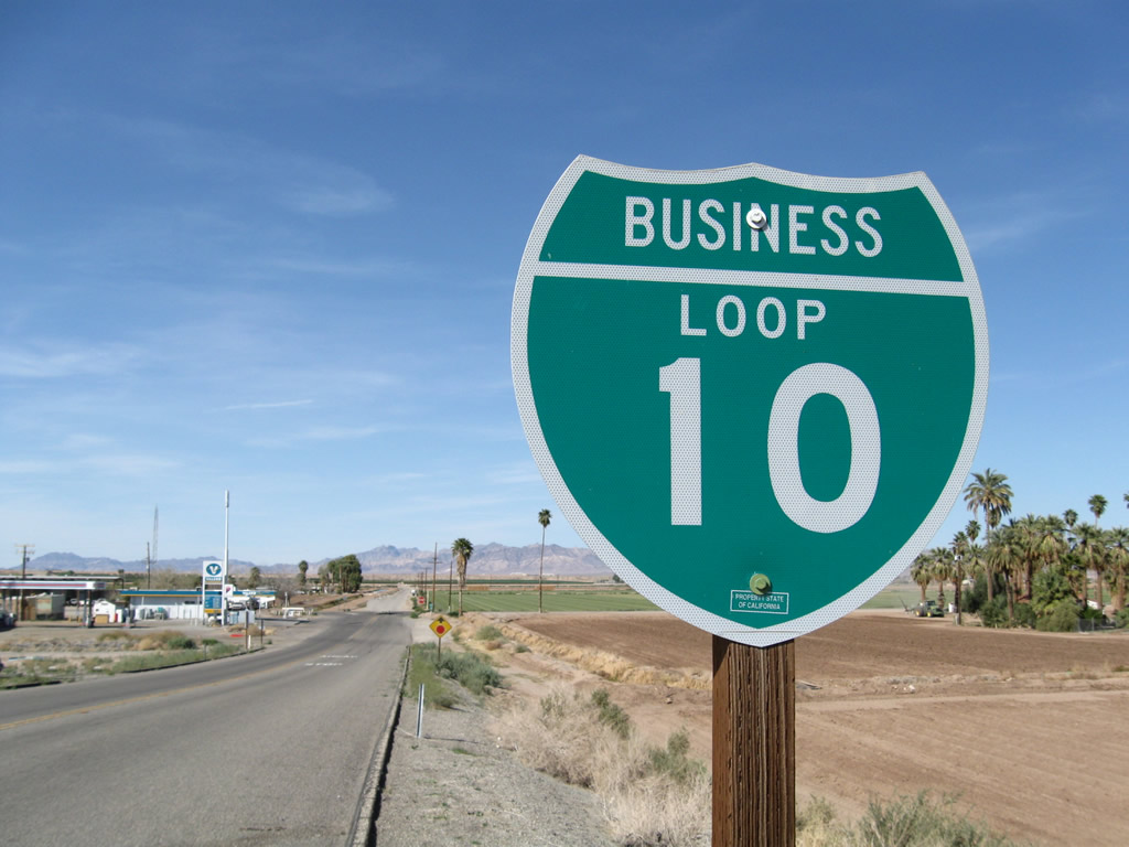
Business Loop I-10 begins along northbound Neighbors Boulevard in western Blythe just north of the Interstate 10/California 78 interchange. The business route travels north briefly, then turns due east once it reaches the old U.S. 60-70 highway (Hobson Way). Photos taken 03/14/09. |
 |
 |
Eastbound Business Loop I-10 turns east from Neighbors Boulevard onto Hobson Way (Old U.S. 60-70) at this intersection, located just north of the Interstate 10 interchange. Photos taken 03/14/09. |
| Business Loop I-10 east | |
|---|---|
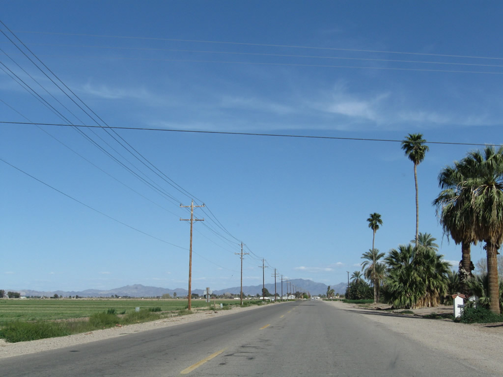 |
Eastbound Business Loop I-10 follows Hobson Way toward downtown Blythe. Traveling through the fertile Palo Verde Valley, agricultural fields line both sides of the business route, which was formerly U.S. 60-70. Photo taken 03/14/09. |
 |
Eastbound Business Loop I-10 (Hobson Way) approaches DeFrain Boulevard. Photo taken 03/14/09. |
 |
Eastbound Business Loop I-10 (Hobson Way) approaches a shopping center on the north side of the old road after crossing another (larger) irrigation canal. Photo taken 03/14/09. |
 |
The roadway widens to four lanes as eastbound Business Loop I-10 (Hobson Way) intersects Carlton Avenue. Next is Lovekin Boulevard south to Interstate 10. An Interstate 10 trailblazer is posted prior to the intersection. Photo taken 03/14/09. |
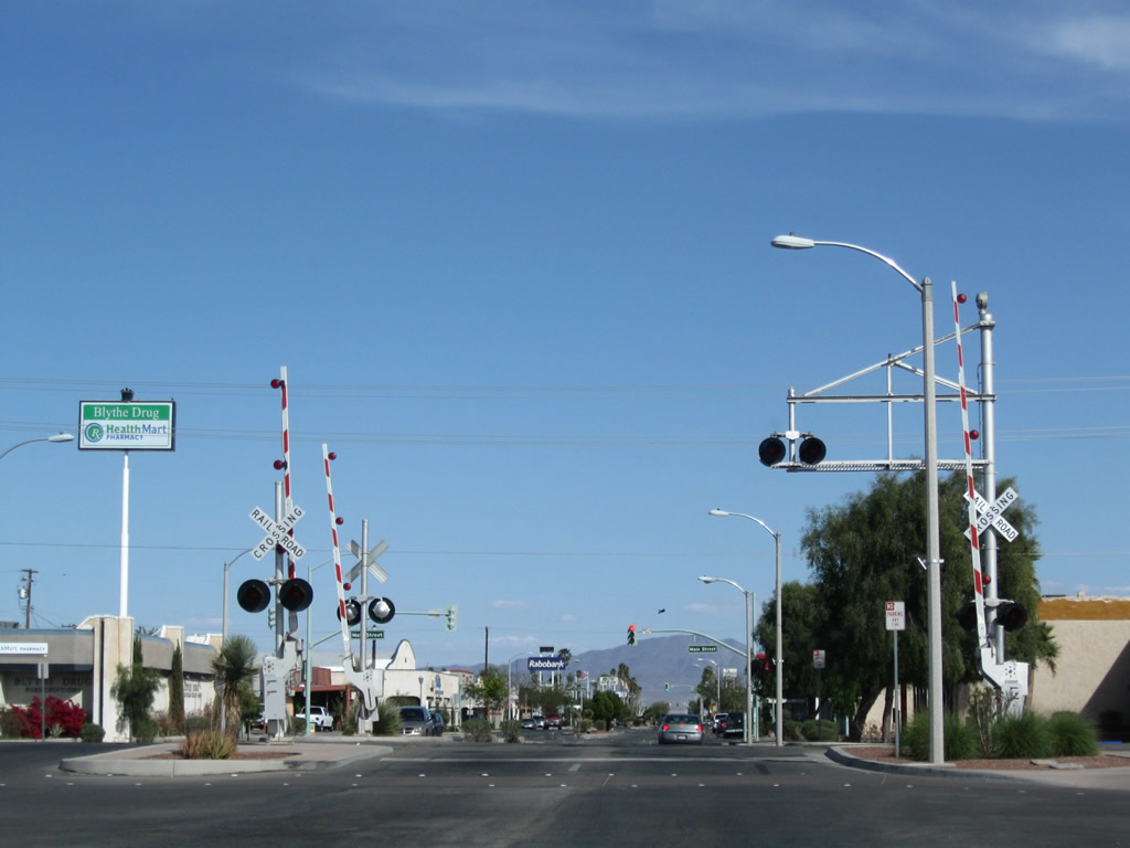 |
Railroad tracks cross Hobson Way after Commercial Street. Photo taken 03/14/09. |
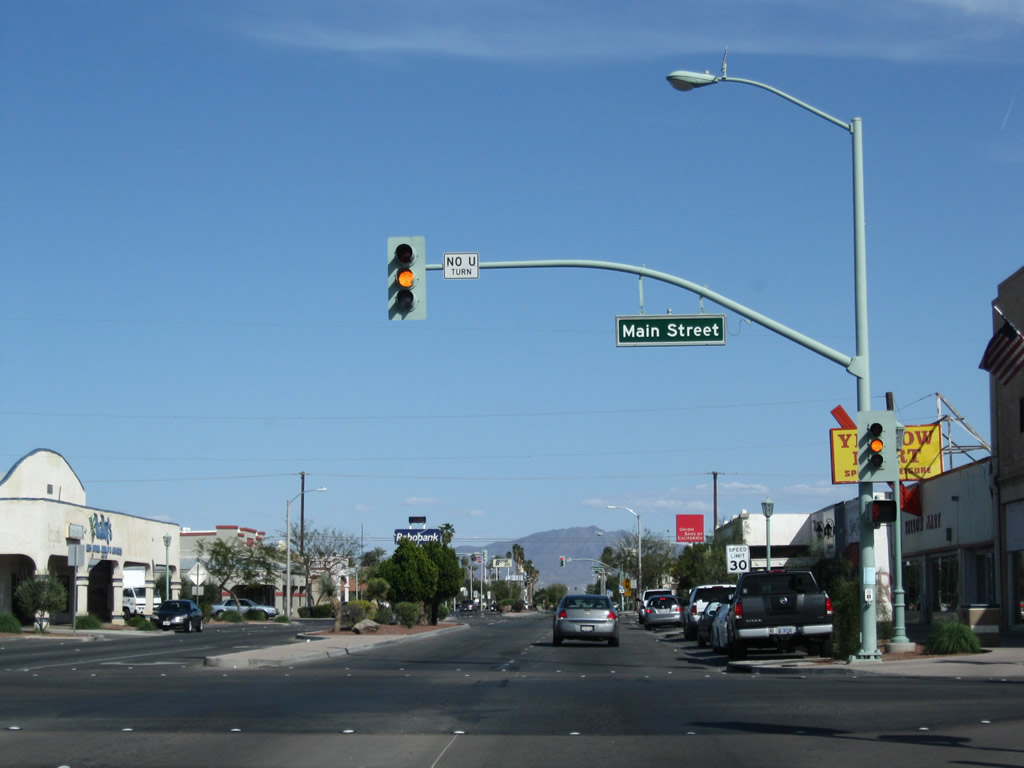 |
Eastbound Business Loop I-10 (Hobson Way) at Main Street in downtown Blythe. In the heart of downtown Blythe, shops line both sides of Business Loop I-10 (Hobson Way). Photo taken 03/14/09. |
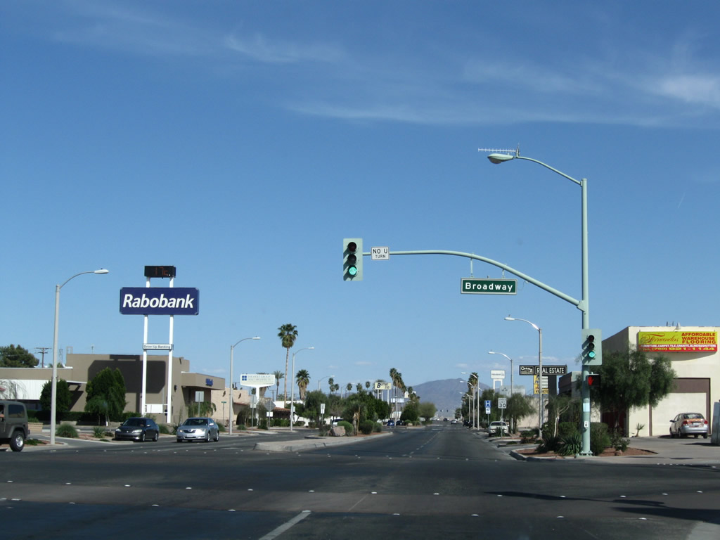 |
Eastbound Business Loop I-10 (Hobson Way) meets Broadway next. Photo taken 03/14/09. |
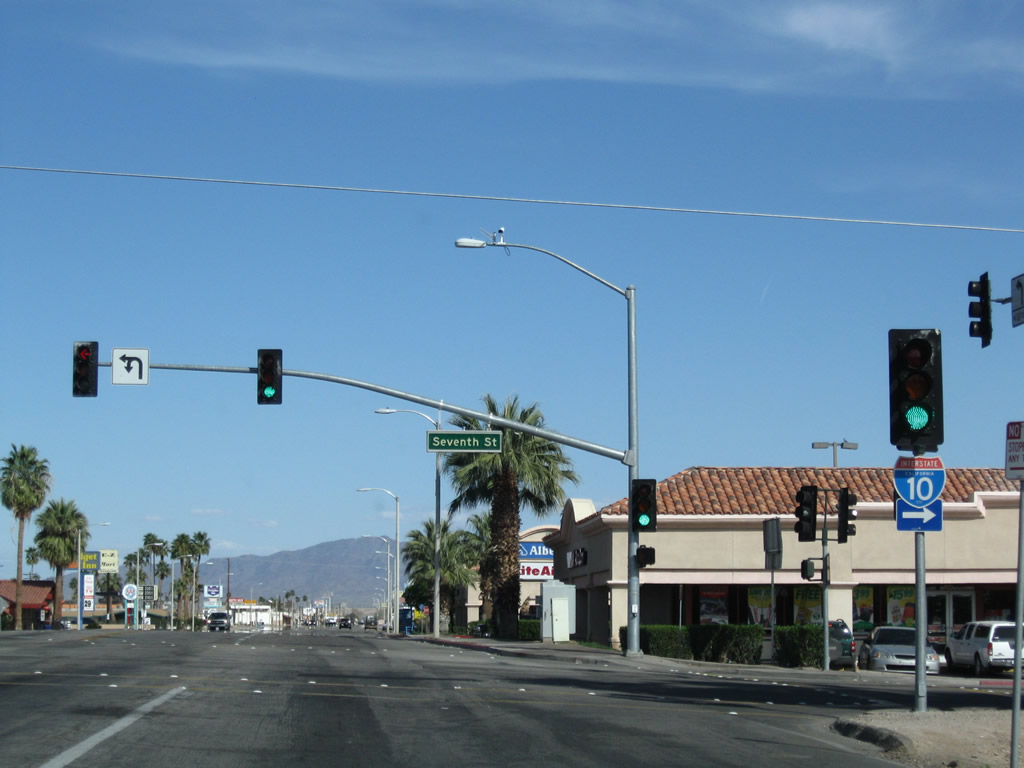 |
Eastbound Business Loop I-10 (Hobson Way) at Seventh Street in Blythe. Use Seventh Street south to Interstate 10. Photo taken 03/14/09. |
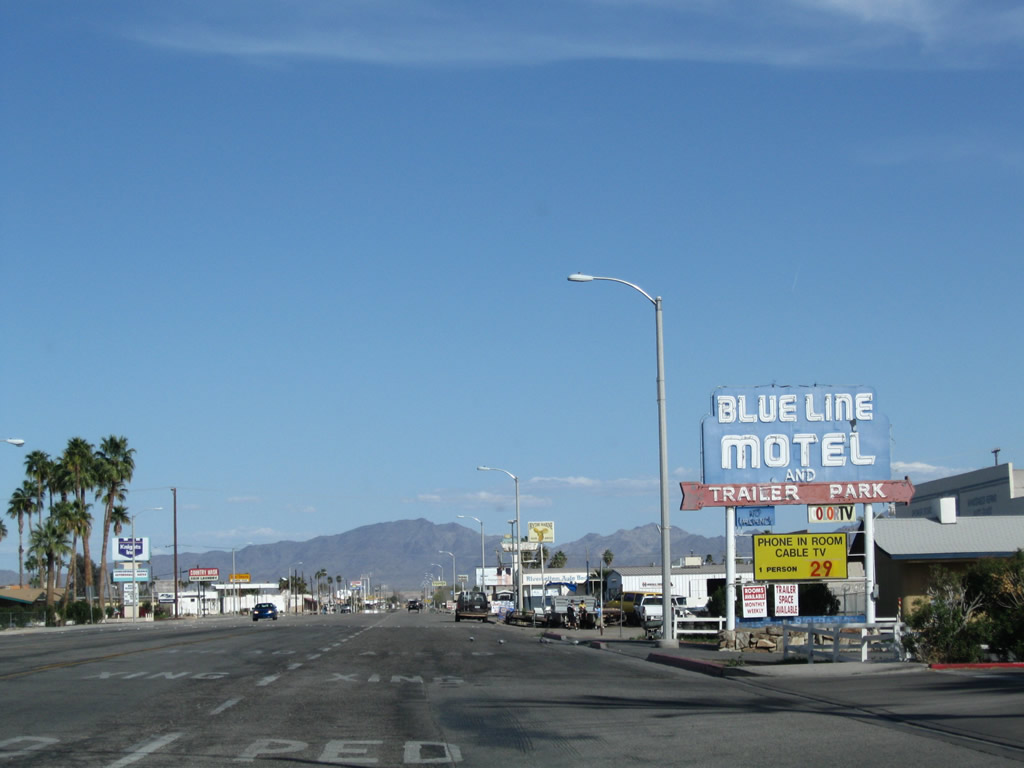 |
Neon signs for Blue Line Motel and Trailer Park. More hotels, restaurants, shops, and other facilities line Hobson Way on the east side of Blythe. Photo taken 03/14/09. |
 |
 |
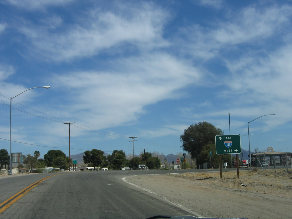
At this stop sign, historic U.S. 60-70 (Hobson Way) meets U.S. 95 (Intake Boulevard). The business route continues straight ahead along Hobson Way for eventual reconnection with Interstate 10. U.S. 95 turns north here toward Needles or south to Interstate 10 en route to Quartzsite, Arizona. Access is also provided to Interstate 10 west to Indio, San Bernardino, and Los Angeles. Photos taken 03/14/09. |
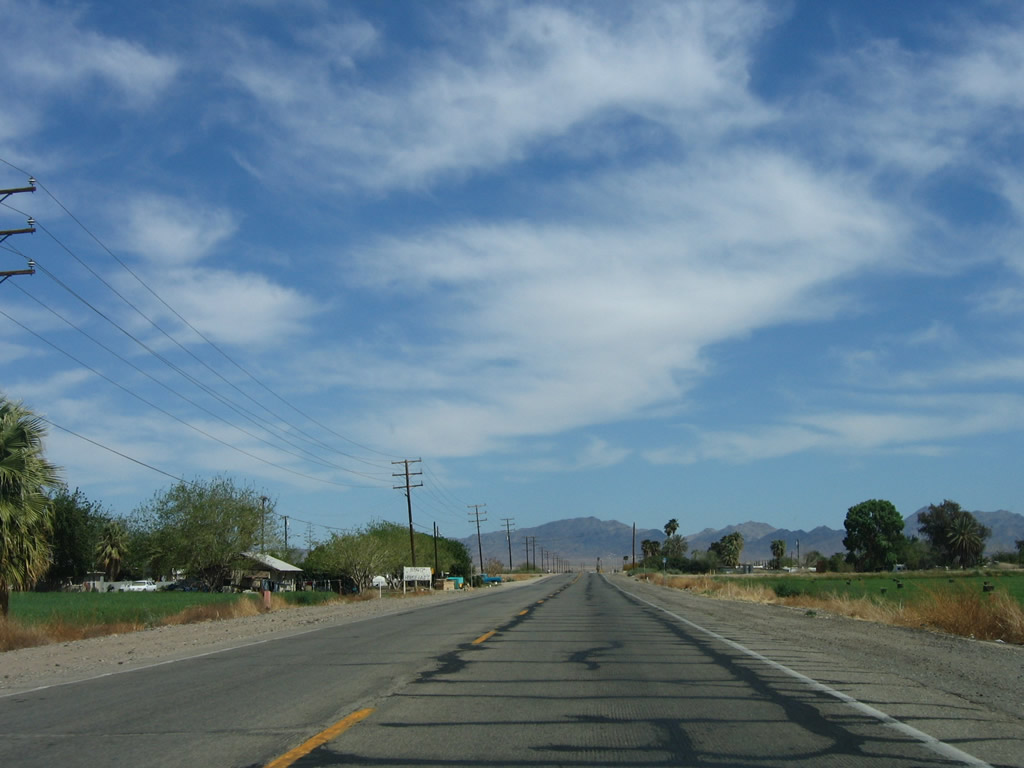 |
Leaving the developed area of Blythe, eastbound Business Loop I-10 (Hobson Way) proceeds through more rural and agricultural areas toward the Colorado River. This last bit of old alignment is apparently part of Business Loop I-10, but there are no signs stating that east of U.S. 95. Photo taken 04/01/06. |
 |
Older bridge railing lines this culvert. The fertile Colorado River valley sees quite a bit of agricultural development including the area around Blythe. Photo taken 04/01/06. |
 |
Interstate 10 and Business Loop I-10 (Hobson Way) come alongside each other. The next right turn will connect to Interstate 10 west to Los Angeles. Photo taken 04/01/06. |
 |
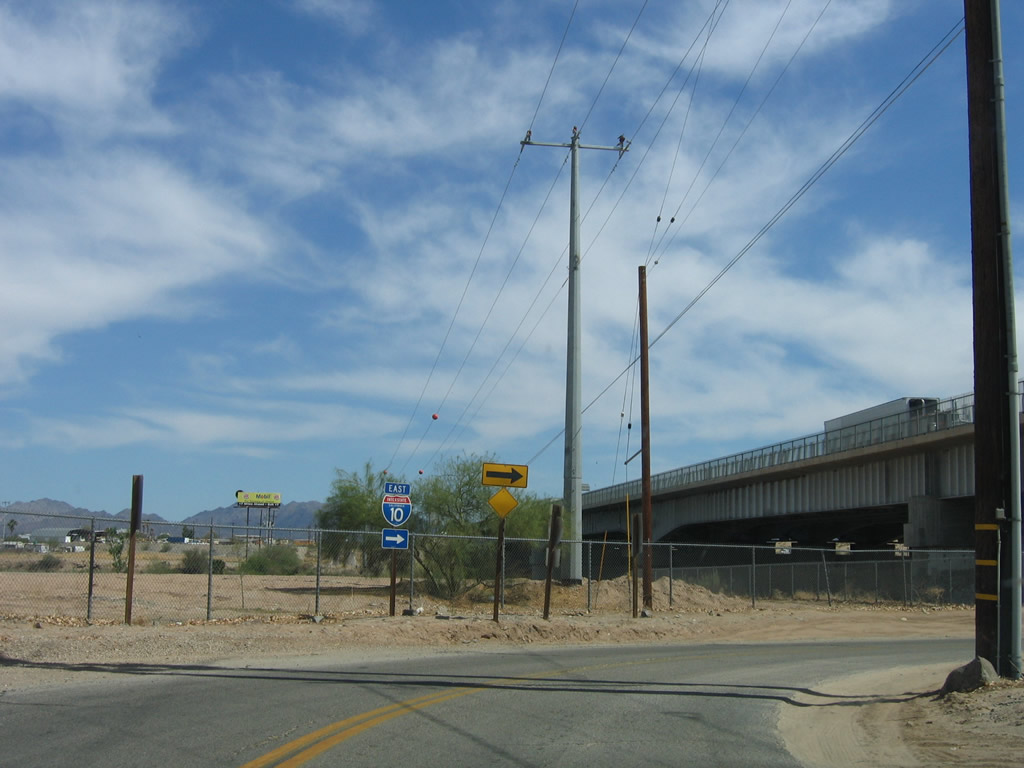
Turn right here for the link from eastbound Business Loop I-10 (Hobson Way) to Interstate 10 west. Continue ahead to connect to Interstate 10 east to Phoenix via Business Loop I-10 east. Photo taken 04/01/06. |
 |
Business Loop I-10 and U.S. 60-70 turns south to pass under Interstate 10. Historically, the crossing of the Colorado River between Blythe and Ehrenberg was accomplished via a ferry. In the late 1920s, the ferry was replaced by a two-lane bridge, but the bridge was removed after the modern Interstate 10 bridge opened in 1960. U.S. 60 and U.S. 70 took the older bridge and newer bridge over the Colorado River, until they were decommissioned in the mid to late 1960s. Photo taken 04/01/06. |
 |
Business Loop I-10 (Riveria Drive) ends at the point where Riviera Drive meets the on-ramp to Interstate 10 east to Ehrenberg, Quartzsite, and Phoenix. Photo taken 04/01/06. |
 |
A freeway entrance shield is posted at the point where Riviera Drive meets Interstate 10 east. Photo taken 04/01/06. |
| Business Loop I-10 west | ||
|---|---|---|
 |
 |
In the shadow of the Colorado River bridge, a historic U.S. 70 shield is posted on Hobson Way just west of the Riviera Drive underpass. The business route begins ahead at the on-ramp to Interstate 10 west. Photos taken 11/10/06. |
| California 78 & Business Loop I-10 west | ||
 |
Traveling south on Neighbors Boulevard from Hobson Way toward the Interstate 10 interchange, the first westbound California 78 shield is posted along westbound Business Loop I-10 prior to the interchange with Interstate 10 in western Blythe. An end shield for the business route is posted ahead. Photo taken 03/14/09. | |
 |
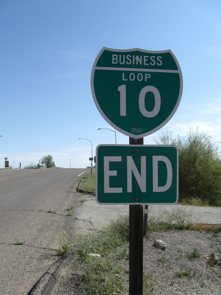 |
An end Business Loop I-10 shield assembly is posted in Blythe as it approaches Interstate 10 and California 78. From this point, traffic along westbound Business Loop I-10 is defaulted onto westbound California 78 unless it takes Interstate 10 east or westbound from this interchange. An end shield is posted for the west end of this business route. Photos taken 03/14/09. |

Page Updated March 14, 2013.
|
About Contact Glossary |
In The News Testimonials Interstate Guide |
Social Media:
 |
|
© 2000-23 AARoads.com | All Rights Reserved | Privacy Policy / Terms of Use
|
||