Interstate 496 Michigan
Overview
Interstate 496 comprises an urban loop through the city of Lansing between I-69/96 in Delta Township and the U.S. 127 freeway in East Lansing. I-496 provides a high speed route to Downtown Lansing, crossing the Grand River southeast of the Michigan State Capitol. The eastern leg overlaps with U.S. 127 by Michigan State University (MSU) to I-96 just southeast of the Lansing city limits.
 History
The Recommended Numbering plan for Interstate Highways in Michigan submitted to the American Association of State Highway Officials (AASHO) by the Michigan State Highway Department on April 25, 1958 assigned 296 to the urban loop through Lansing. Per correspondance between Michigan and AASHO on August 15, 1958, 296 was reassigned to the connector in Grand Rapids and 496 to the route at Lansing. Final approval was given for the route of Interstate 96 between Benton Harbor and Detroit on December 18, 1958, formalizing I-496 at the capital city.
The last section of Interstate 496 opened to traffic in 1970.1
Route Information
East End – Delhi Township, MI
West End – Delta Center, MI
Mileage – 12.10
Cities – Lansing, East Lansing
- Junctions –

Source: December 31, 2021 Interstate Route Log and Finders List
I-496 Annual Average Daily Traffic (AADT)
Source: 2017 AADT – Michigan Department of Transportation (MDOT) Traffic Volumes Map
East End  – Delhi Township, Michigan
![]() East
East ![]() South at
South at ![]()
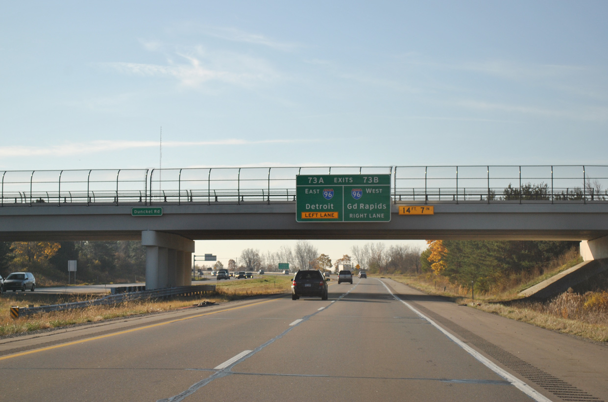
I-496/U.S. 127 combine for three miles south from East Lansing to Interstate 96 in Delhi Township. The final exchange for I-496 joins the freeway with Dunckel Road in southeast Lansing. 11/05/11
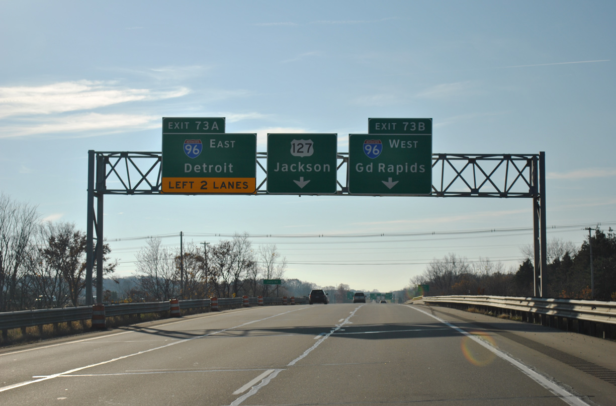
Crossing over Jolly Road, a third southbound lane opens for the return of Interstate 496 east to I-96 at Exit 73A. 11/05/11
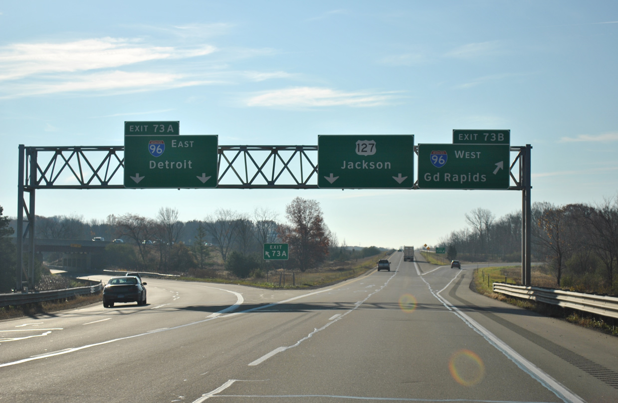
Two lanes depart for I-96 east to Howell and Detroit ahead of the cloverleaf interchange with the Interstate 96 mainline. U.S. 127 continues along a freeway 29.6 miles south to I-94 at Jackson. 11/05/11

Sign replacements made at the east end of Interstate 496 added exit tabs for the ramps with I-96. Photo by Don Hargraves (11/02).
![]() West at
West at ![]()
![]()
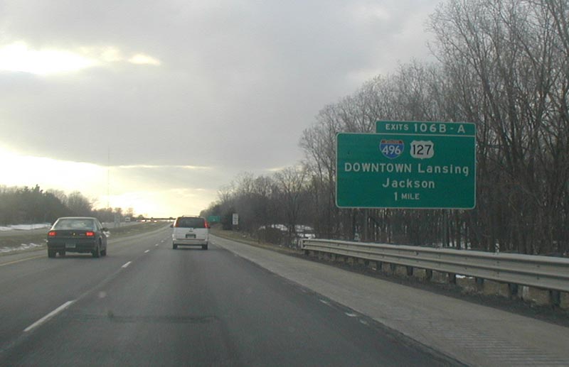
The first Lansing area exit along Interstate 96 westbound connects with I-496 west / U.S. 127 north at Exit 106B. Photo by John Harmon (2001).
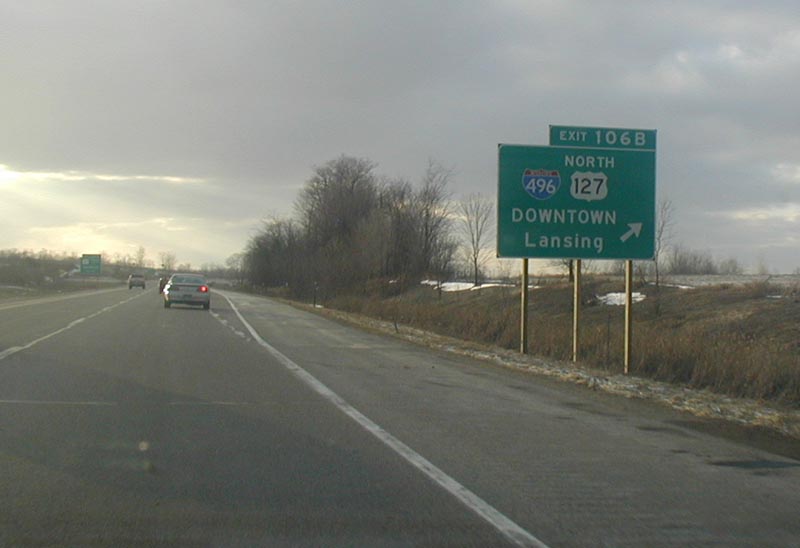
I-496 overlaps with U.S. 127 north to East Lansing. I-96 stays south of the capital city by the community of Holt. Prior to 2001-02, U.S. 127 ended at I-69 to the north of Lansing at DeWitt Township. This changed with legislation signed extending U.S. 127 northward over what was U.S. 27 between Lansing and I-75 near Grayling. Photo by John Harmon (2001).
![]() East at
East at ![]()
![]()

Interstate 96 east at the Aureluis Road overpass, 1.50 miles west of the quarter cloverleaf interchange (Exit 106) with I-496 west and U.S. 127. Photo by Don Hargraves (03/03).
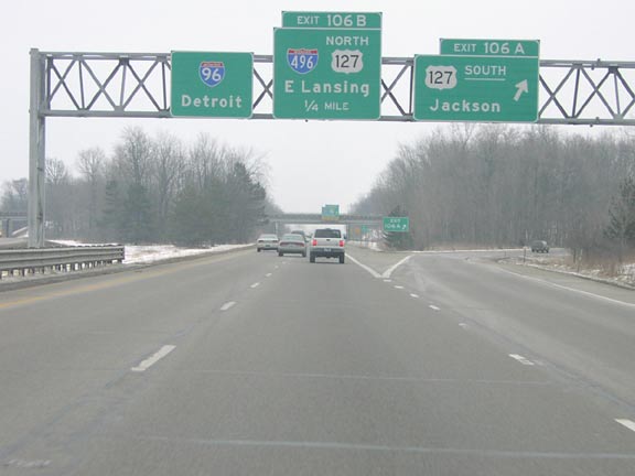
U.S. 127 travels 6.5 miles north from the Ingham County seat of Mason to I-96/496 at Exit 106. A loop ramp joins I-96 east with I-496 west / U.S. 127 north to East Lansing. Photo by Don Hargraves (03/03).
West End – Delta Township, Michigan
![]() West at
West at ![]()
![]()
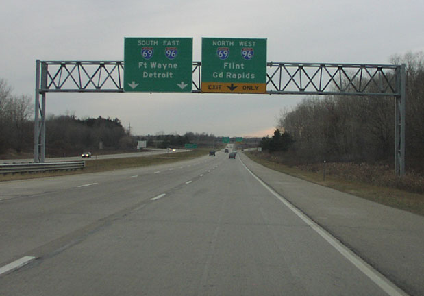
Interstate 496 proceeds west from a six-ramp parclo interchange (Exit 1) with Creyts Road to I-69/96 by Delta Center. U.S. 27 overlapped with I-69/96 until 2001/02, when it was truncated north of Fort Wayne, Indiana. Photo by Don Hargraves (11/02).
Two lanes join I-69 south and I-96 east ahead of their split for Fort Wayne, Indiana and Detroit. A single lane ramp joins I-69/96 north 3.8 miles to their separation at Watertown Township. Photo by Don Hargraves (11/02).
![]() South
South ![]() East at
East at ![]()
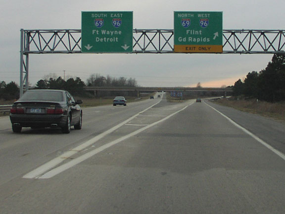
Business Loop I-69 (Saginaw Highway) combines with M-43 west from Lansing to I-69/96 (Exit 93) in Delta Township. I-496 parallels the commercial arterial to the south, with both leading to Downtown Lansing. Photo by Don Hargraves (11/02).
An auxiliary lane opens south from M-43 and Business Loop I-69 to the directional T interchange (Exit 95) with Interstate 496 east. Photo by Don Hargraves (11/02).
Interstate 496 stems east from I-69/96 six miles to Walnut Street south of the Michigan State Capitol. Photo by Don Hargraves (11/02).
![]() North
North ![]() West at
West at ![]()
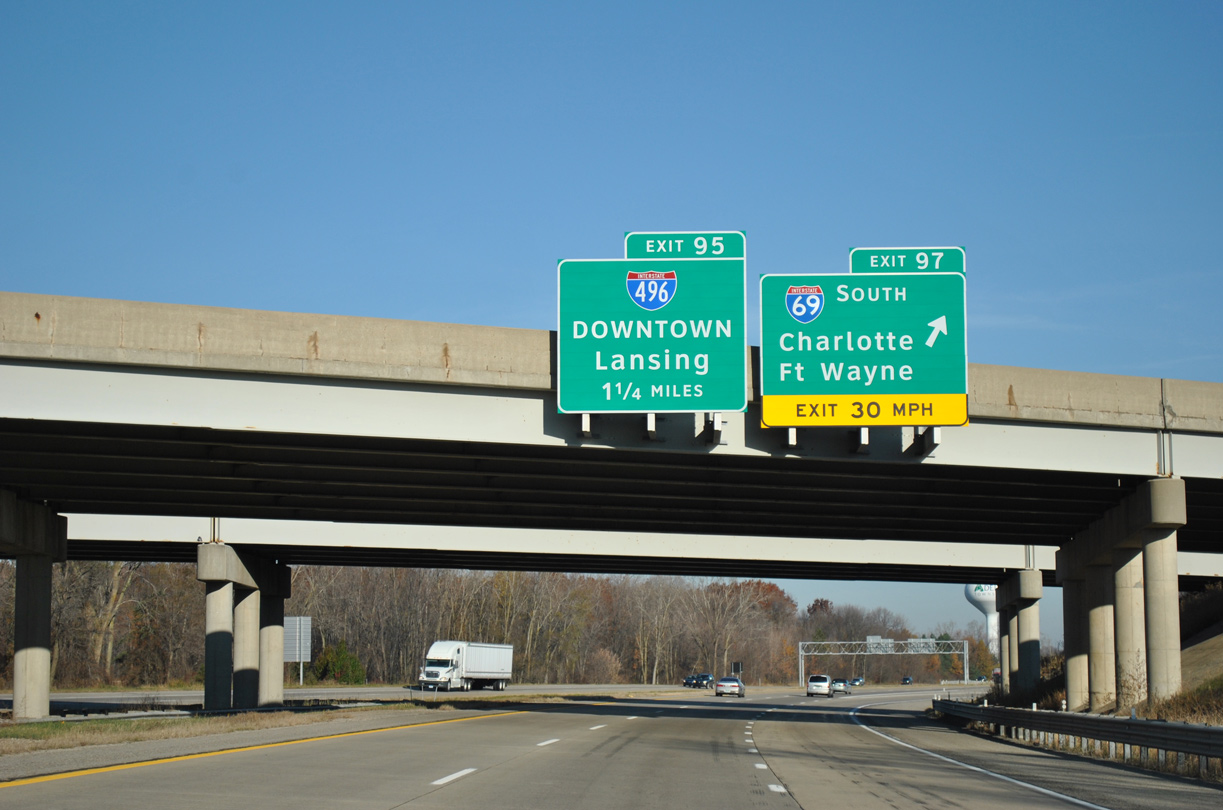
Interstate 96 bypasses Lansing to the south and combines with I-69 to the west at a trumpet interchange (Exit 97) 1.25 miles from I-496. 11/05/11
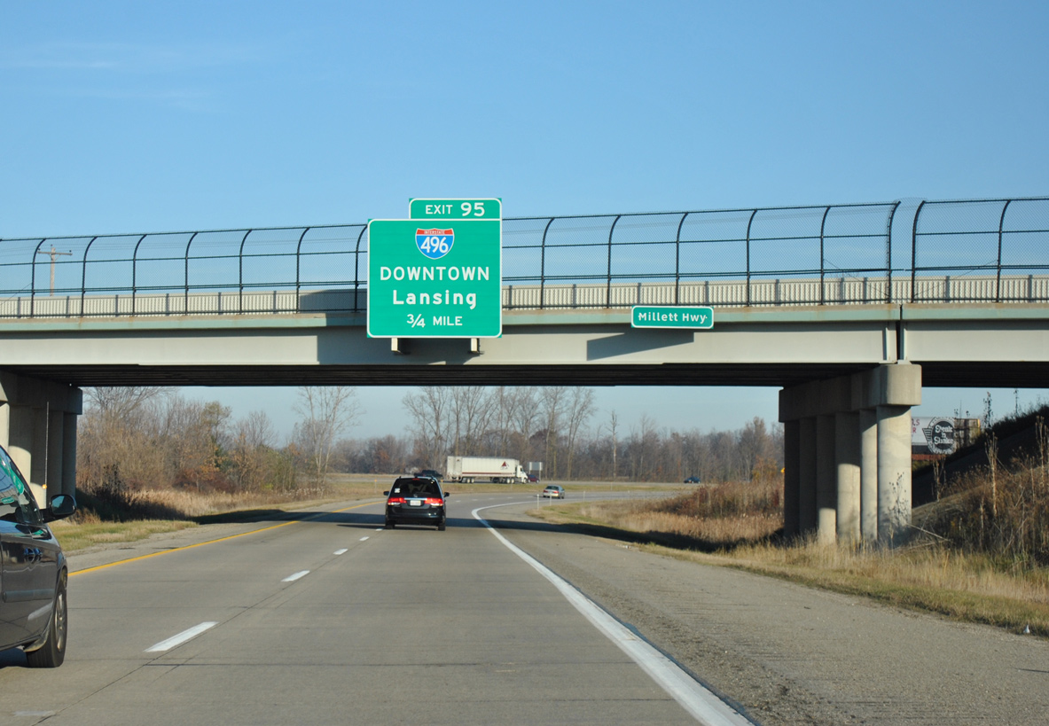
Interstate 69 arrives in the Lansing area northeast from Potterville. The northbound mainline combines with I-96 west just beyond the Millett Highway overpass. 11/05/11
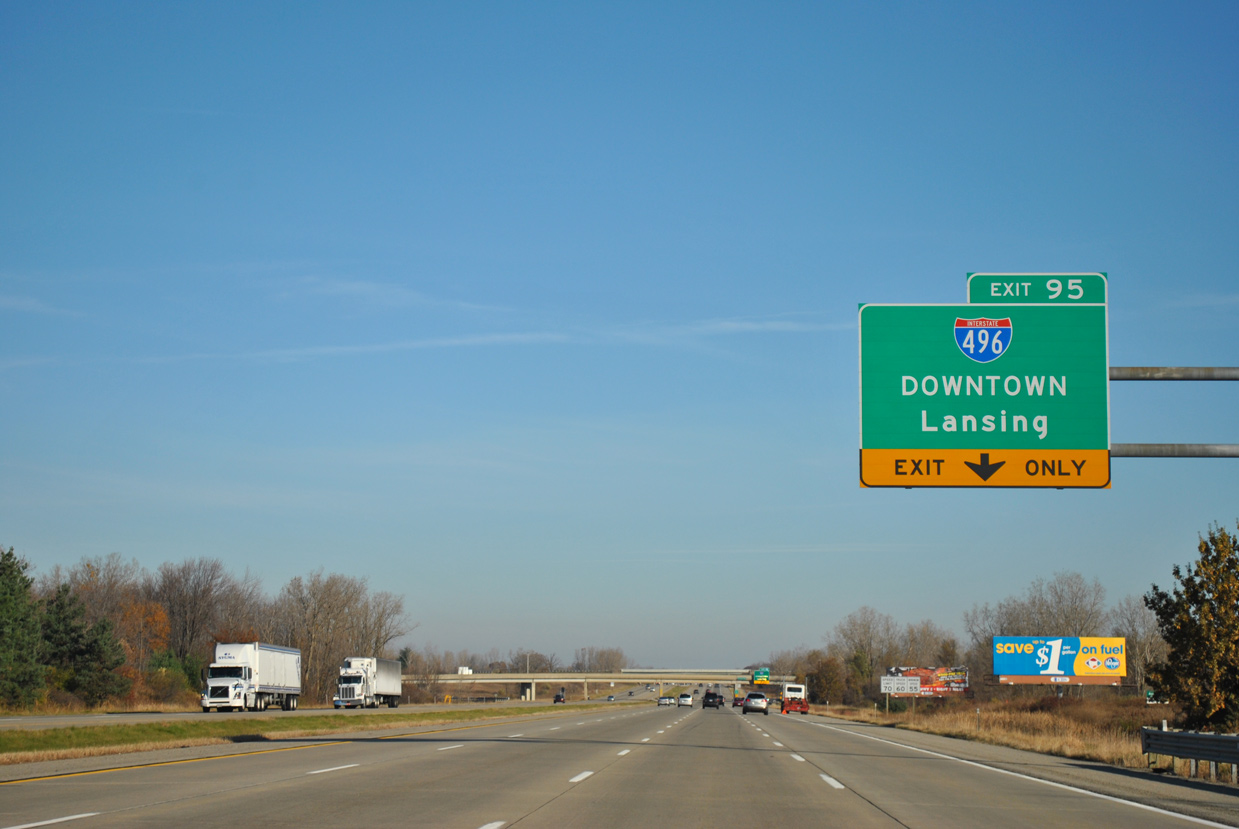
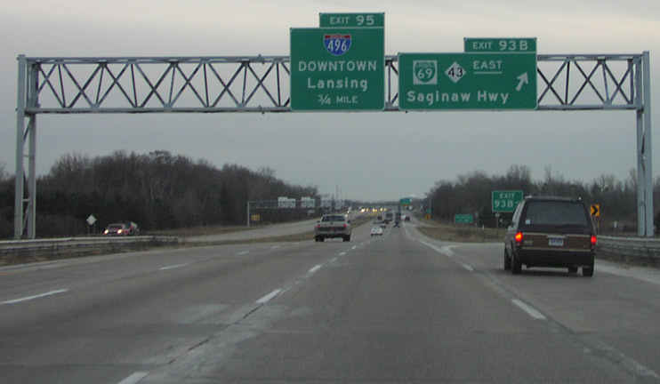
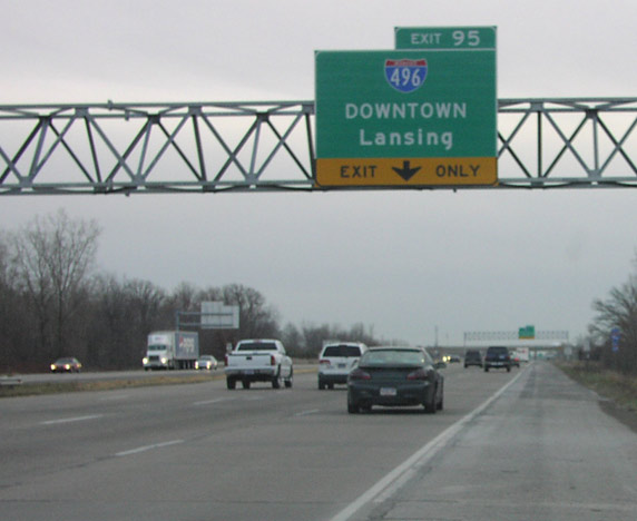
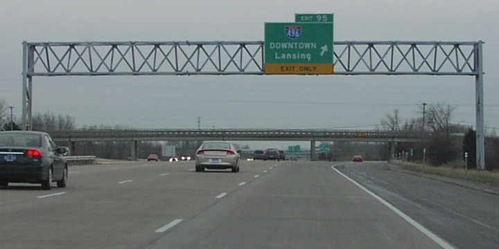
I-69 north/96 west expand to four lanes to Interstate 496 east at Exit 95. The directional T interchange between the two freeways was originally a trumpet. 11/05/11
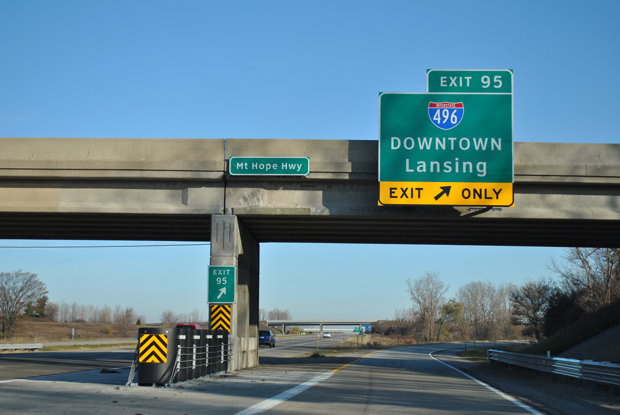
Exit 95 leaves I-69 north/96 east for Interstate 496 to Downtown Lansing and East Lansing. 11/05/11
- “Interstate roads have shaped the future for many mid-Michigan communities.” Lansing State Journal (MI), July 23, 2006.
Page updated June 29, 2022.