Interstate 285 North Carolina
Overview
Approved in February 2018, Interstate 285 runs concurrent with U.S. 52 for 23 miles through Davidson and Forsyth counties. Connecting Lexington with Winston-Salem, the I-285 designation should boost the local economy by placing additional communities onto the Interstate system.1
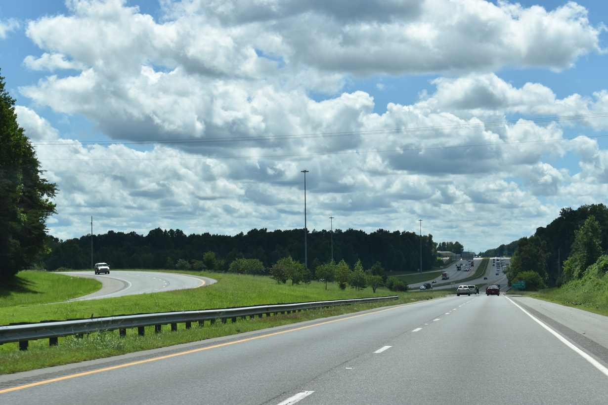
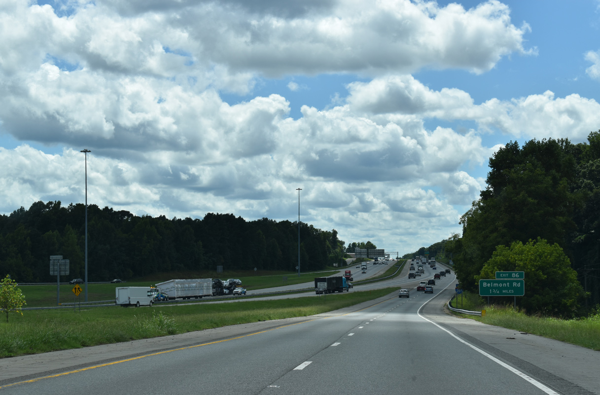
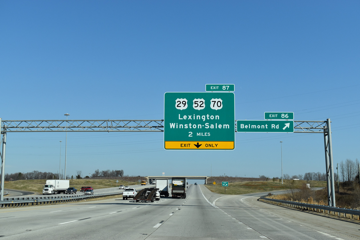
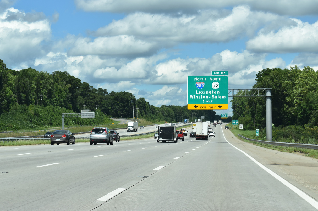
Beginning at the split of U.S. 29-52-70 and from Interstate 85 at Exit 87 near Davidson County Airport (EXX), I-285 initially travels northeast toward Lexington. Business Loop I-85 and U.S. 29/70 depart for Downtown while I-285 and U.S. 52 continue around Lexington, bypassing it to the west. The freeway proceeds north around both Welcome and Midway before entering Forsyth County. I-285 concludes at the exchange with I-40 while the freeway along U.S. 52/NC 8 continues into Winston-Salem.
 History
Already built to Interstate standards, the section of U.S. 52 between Lexington and Winston-Salem was initially submitted to the American Association of State Highway and Transportation Officials (AASHTO) as Interstate 185. That designation however was rejected on May 30, 2003 during their annual Special Committee on Route Numbering meeting. Interstate 285 first appeared in North Carolina’s Strategic Highway Corridors map as of November 12, 2004.
Following several tries by the state of North Carolina, AASHTO approved the signing of Interstate 285 along the freeway on U.S. 52 between Lexington and Winston-Salem during the week of September 5, 2005.1 This decision, coupled with approval by the Federal Highway Administration (FHWA) granted in 2004, paved the way for NCDOT officials to post Future I-285 signs along the corridor. The only hurdle preventing the highway from officially joining the Interstate system at the time were $2.5 million in needed shoulder improvements . Completion of that project was slated for 2011, at which time Interstate 285 was to be signed.1
Route Information
North End – Winston-Salem, NC
South End – Lexington, NC
Mileage – 23.49
Cities – Lexington, Winston-Salem
- Junctions –

Source: December 31, 2021 Interstate Route Log and Finders List
I-285 Annual Average Daily Traffic (AADT)
Source: 2017 NCDOT AADT Mapping Application
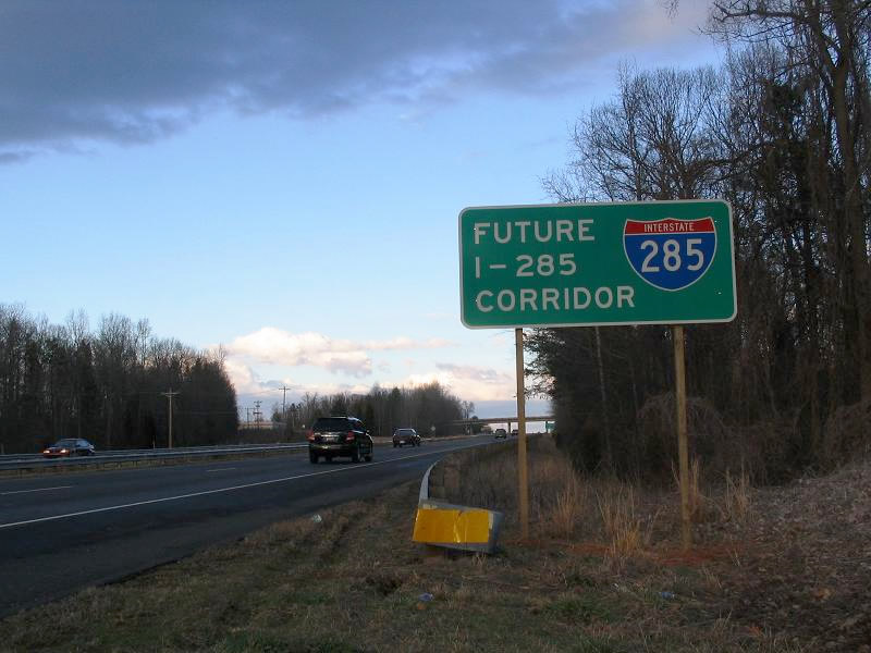
Future Interstate 285 Corridor signs appeared on the U.S. 52 freeway in early 2006. Photo by Carter Buchanan (01/28/06) near the city of Lexington.
The North Carolina Strategic Corridors map outlined Interstate 285 as ending at I-40. An extension of I-285 will lengthen the route to the planned Winston-Salem Northern Beltway south of Rural Hall, where I-74 and I-274 will eventually meet. Beyond that exchange, U.S. 52 doubles as the I-74 corridor northwest toward Mount Airy. $500 million in improvements to the freeway along U.S. 52 between Downtown Winston-Salem and Rural Hall were scheduled for completion by 2012.1
Finally on February 15, 2018, Interstate 285 received its formal approval from the FHWA to overlay the 23 mile long segment of U.S. 52 between I-85 in Lexington and I-40 in Winston-Salem.2 The submission was made by NCDOT in September 2017 upon completion of two projects that finalized additional upgrades of U.S. 52 to Interstate standards. Signs for I-285 were placed along the corridor in Fall 2018.2
 Photo Guides
North End  – Winston-Salem, North Carolina
![]()
![]() North at
North at ![]()
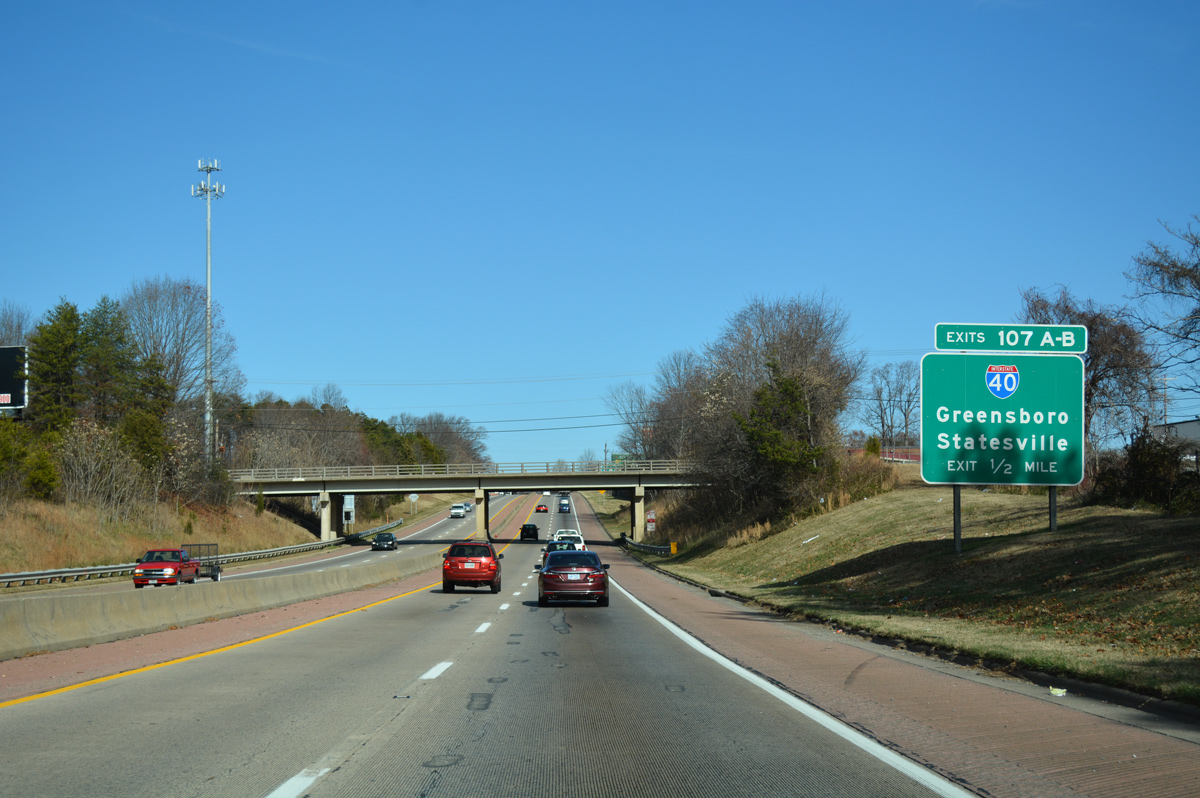
Cassell Street spans I-285/U.S. 52 on the half mile leading to the cloverleaf interchange (Exits 107A/B) with Interstate 40. 12/15/16
I-40 east connects with NC 109 (Thomasville Road) south to Thomasville and I-74 southeast to Winston-Salem over the course of 2.2 miles from I-285/U.S. 52 in Winston-Salem. 01/17/19
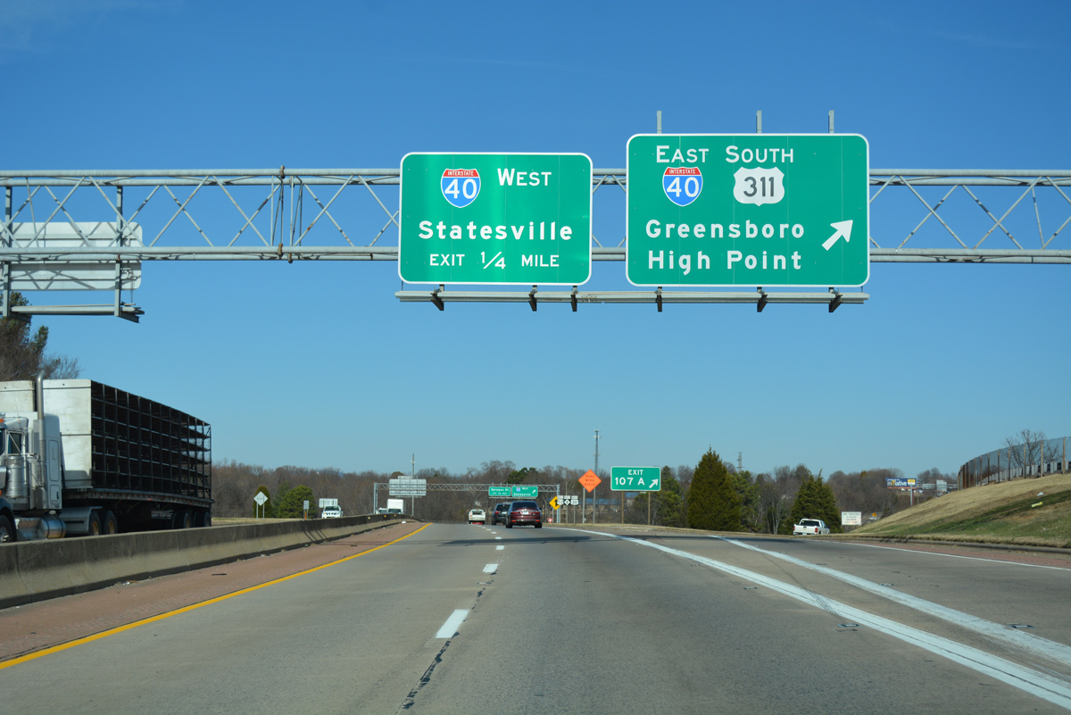
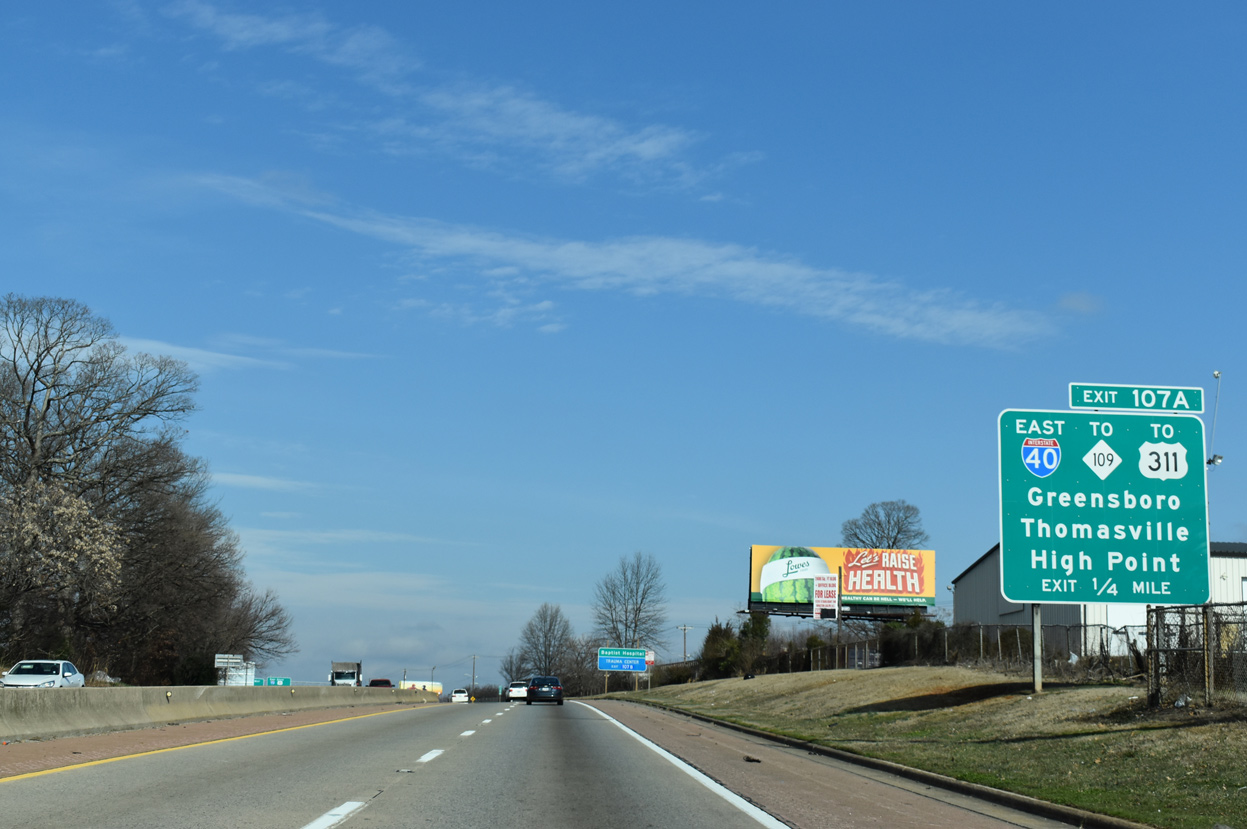
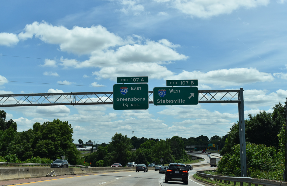
Exit 107A departs for I-40 east to Greensboro. U.S. 311 was truncated north to U.S. 52 in Winston-Salem from I-74 and U.S. 220 at Randleman in 2018. 12/15/16
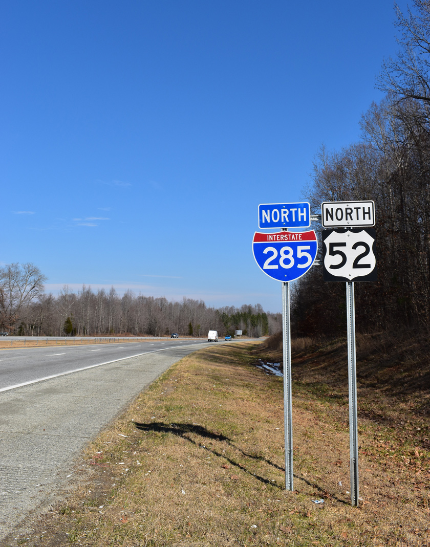
A loop ramp (Exit 107B) follows from U.S. 52 north for I-40 west to Statesville and Asheville. I-285 north ends as U.S. 52 continues north to Downtown Winston-Salem and Mount Airy. 12/15/16
![]() South at
South at ![]()
![]()
U.S. 52/NC 8 head south between South Side and Sunnyside in Winston-Salem to I-40 and the beginning of Interstate 285. 05/31/21
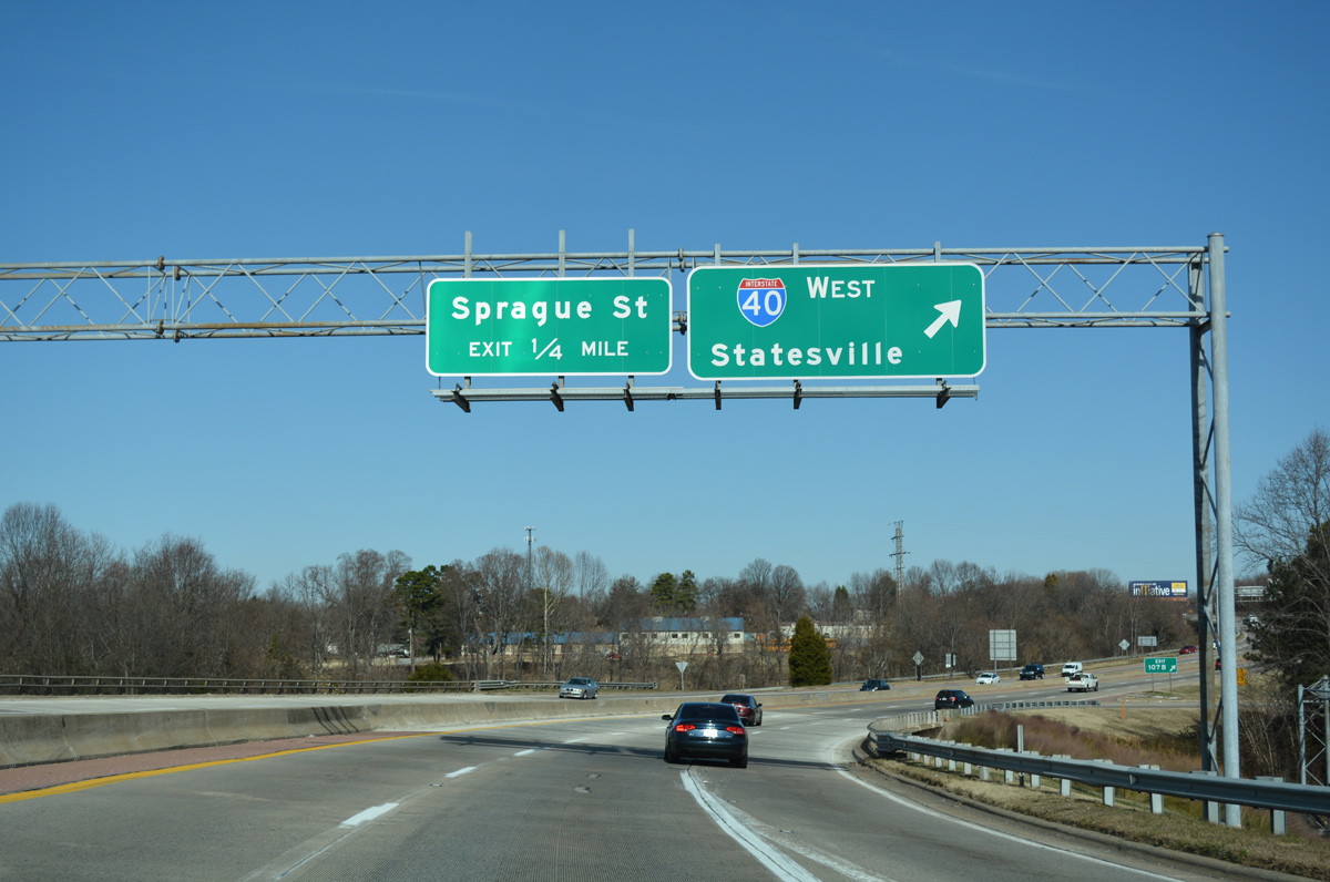
U.S. 52/NC 8 span Sprague Street a quarter mile from Exit 107B for I-40 west to Statesville, Hickory and Asheville. 05/31/21
U.S. 52/NC 8 shift westward into the cloverleaf interchange (Exit 107) with Interstate 40. 05/31/21
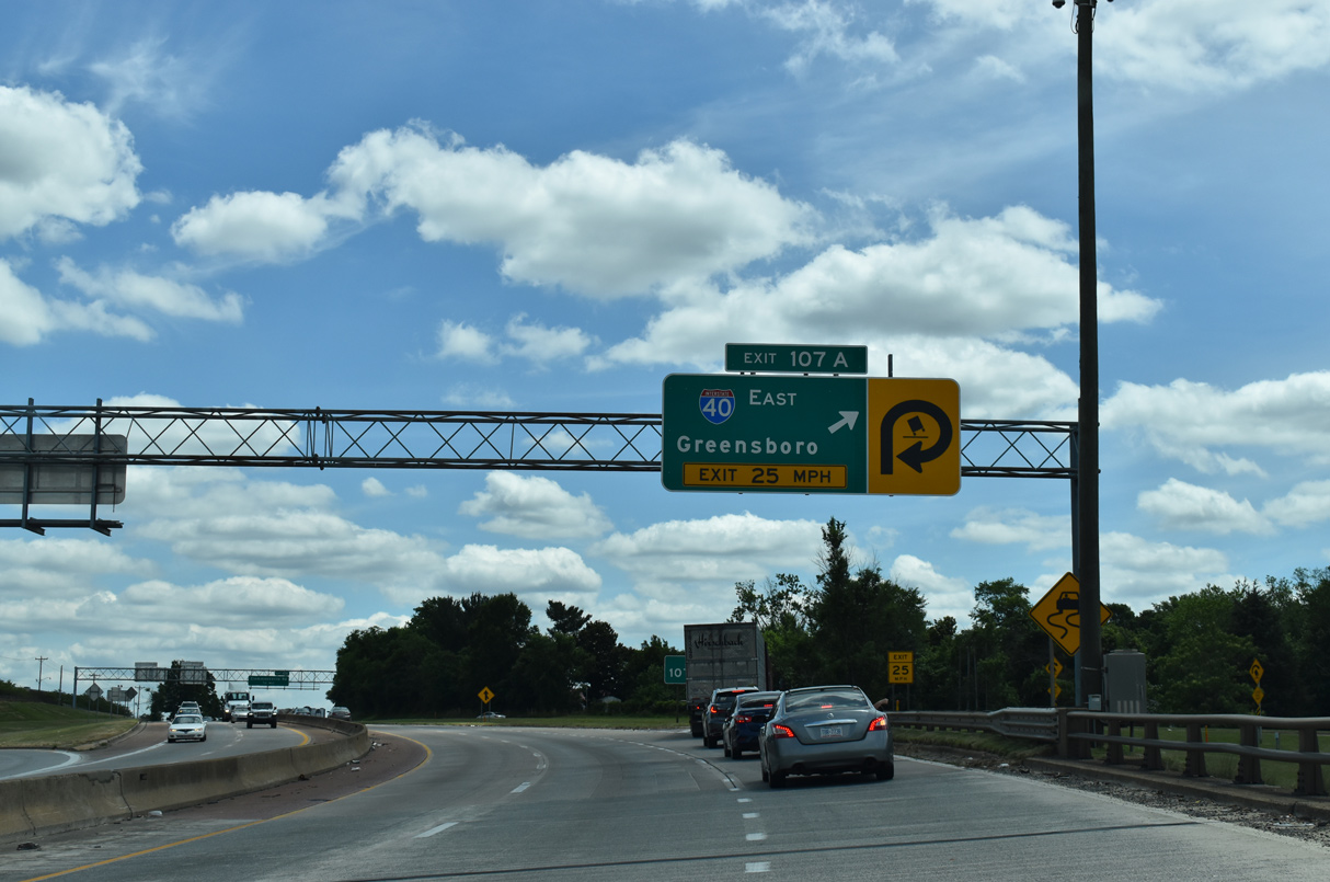
Exit 107A loops onto I-40 east to Greensboro and High Point via I-74. Interstate 285 commences southbound. 05/31/21
![]() East at
East at ![]()
![]()
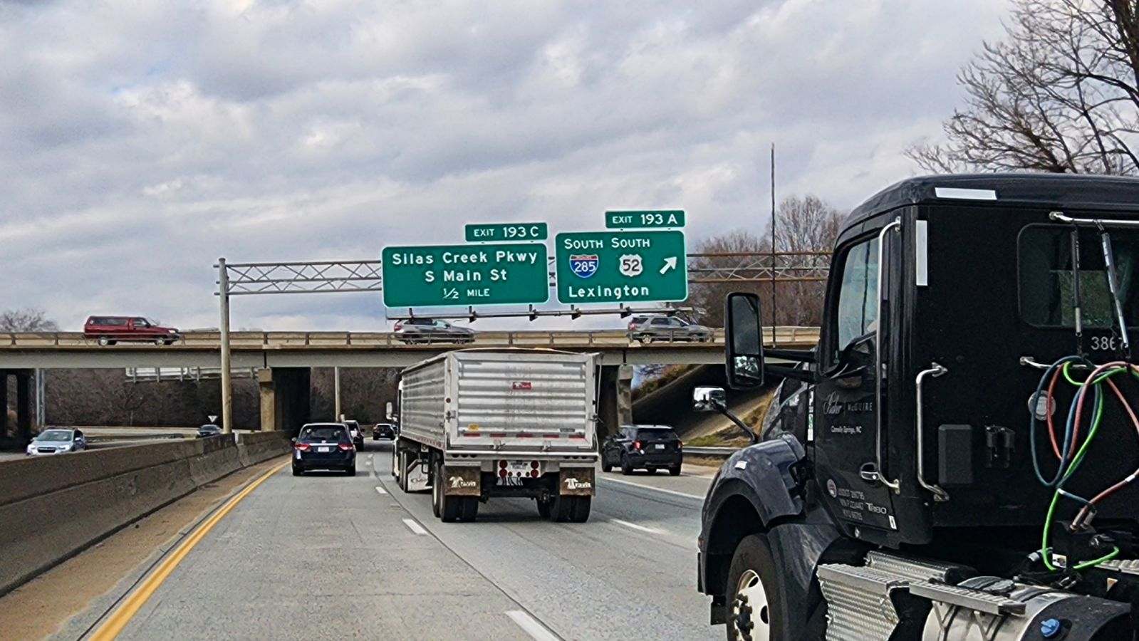
Interstate 40 leaves the retail area at NC 150 (Peters Creek Parkway) and Silas Creek Parkway en route to the north end of I-285 at U.S. 52/NC 8 in south Winston-Salem. 08/15/21
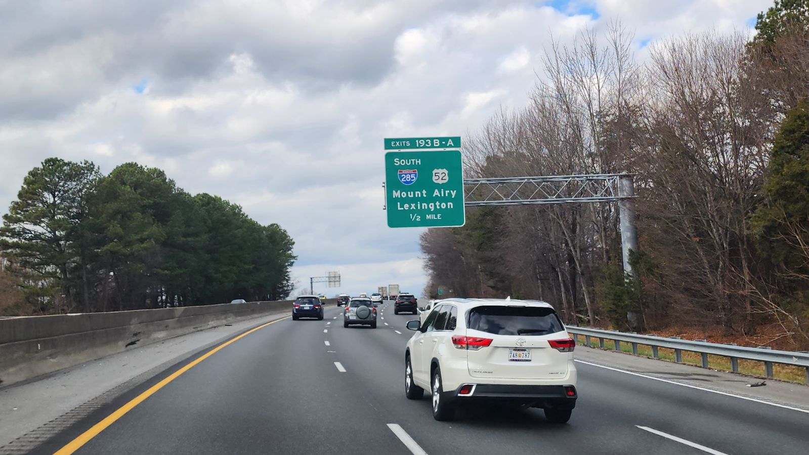
Paralleling Silas Creek Parkway (SR 3173), Interstate 40 navigates through an S-curve a half mile east to the exchange (Exit 193) with I-285 south and U.S. 52/NC 8. 12/31/23
Interstate 285 overlaps with U.S. 52 south to I-85 at Lexington and NC 8 to Bethesda. 12/31/23
![]() West at
West at ![]()
![]()
Interstate 40 heads 2.19 miles west from I-74 to I-285 south and U.S. 52 at Exit 193. 12/30/23
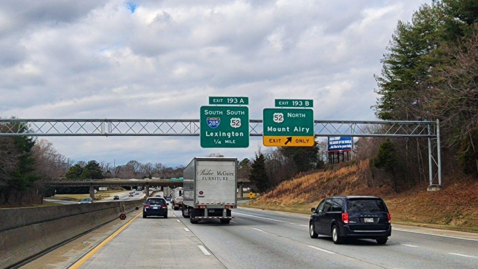
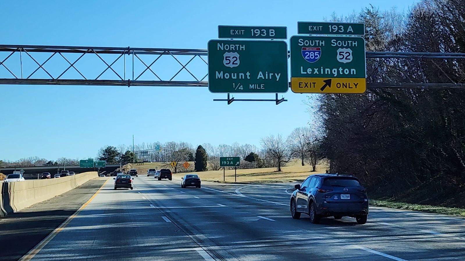
Exit 193 B leaves I-40 west for U.S. 52 north to Downtown Winston-Salem and the Future I-74 corridor north to Mount Airy. 12/30/23
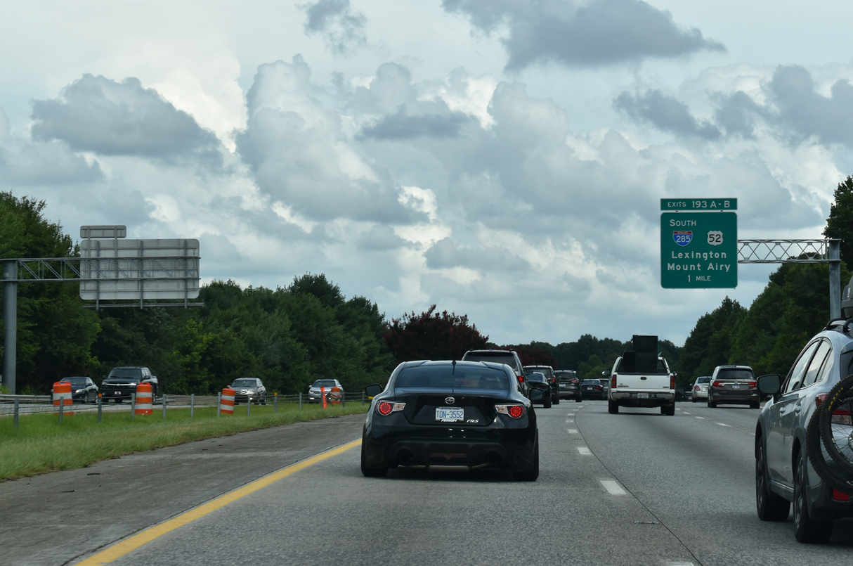
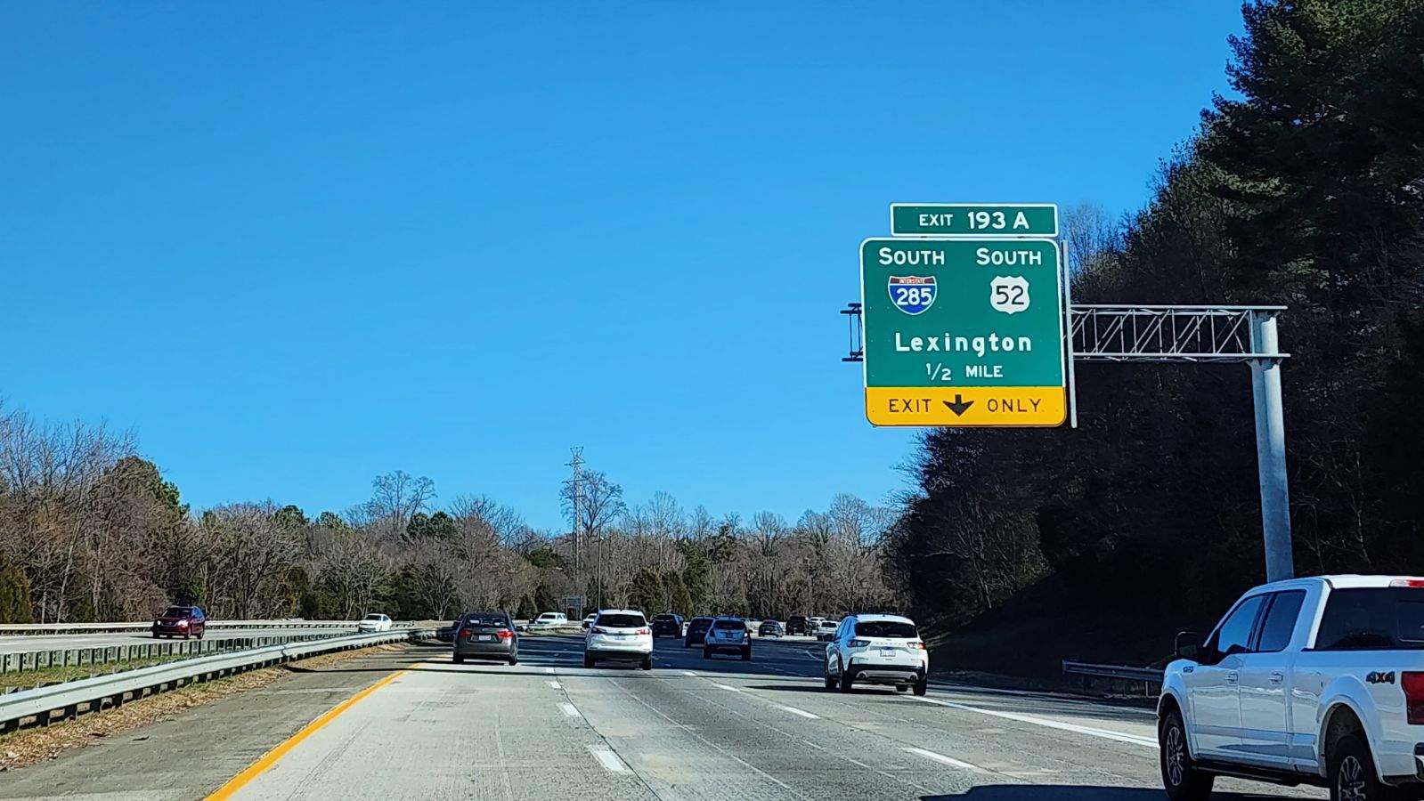
Exit 193 A loops away from Interstate 40 west for I-285/U.S. 52-NC 8 south to Lexington. NC 8 overlays the freeway south to Bethesda. 12/30/23
South End – Lexington, North Carolina
![]()
![]()
![]()
![]() South at
South at ![]()
I-285/U.S. 29-52-70 south converge with Intestate 85 at a wye interchange in southwestern reaches of the Lexington city limits. 08/18/21
U.S. 29/52/70 continue southwest along I-85 from I-285 to Spencer. 08/18/21
![]()
![]()
![]()
![]() North at
North at ![]()
![]()
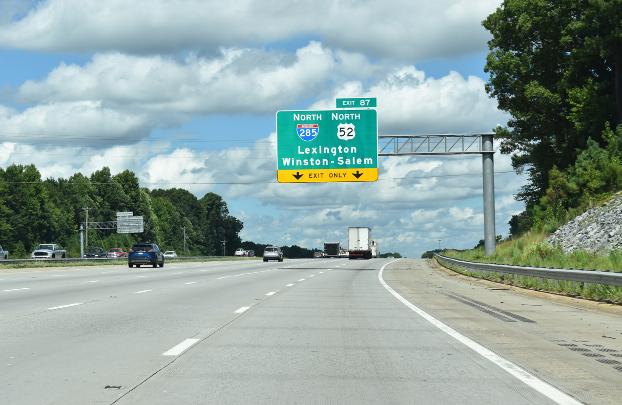
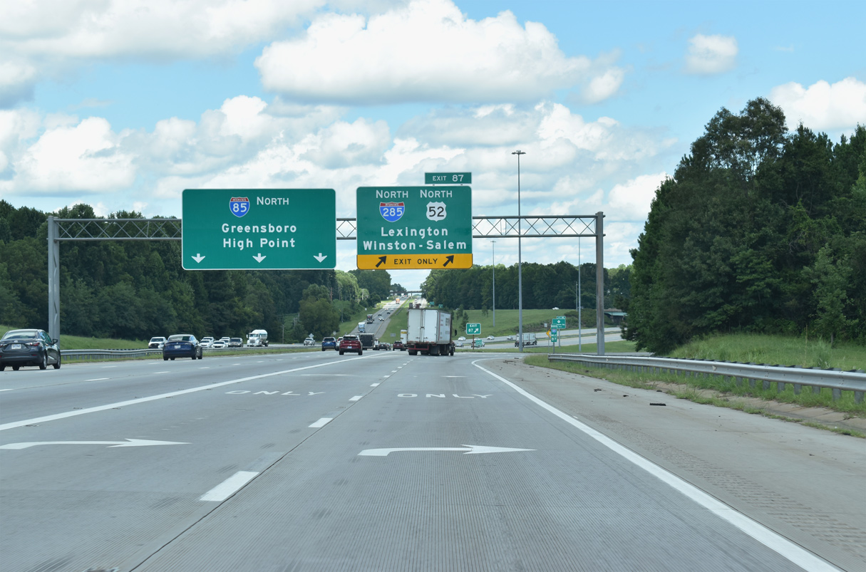
Sign changes made along Interstate 85 north during freeway expansion removed most references to Business Loop I-85 for Exit 87 to Lexington. I-285 markers were installed along U.S. 52 in 2018. Overheads remained unchanged through Spring 2019. 01/17/19
U.S. 29-52-70 split with Interstate 85 north at a wye interchange (Exit 87). 08/18/21
U.S. 29/70 accompany I-285/U.S. 52 through southwest Lexington before shifting onto an older expressway bypassing Downtown. 08/18/21
I-285/U.S. 52 extend north from U.S. 29/70 in Lexington along a rural course to Midway before reaching Winston-Salem. 08/18/21
Sources
- “U.S. 52 gets a second name.” The Winston-Salem Journal, September 10, 2005.
- I-285 Gets Federal Approval as the Next New Interstate for North Carolina, NCDOT News Releases, February 15, 2018.
Page updated February 1, 2024.