
 East
East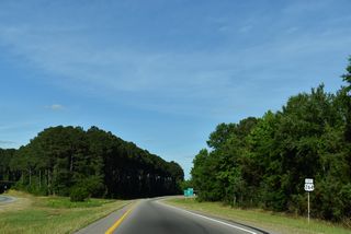
U.S. 264 splits with U.S. 64/Future I-87 at a trumpet interchange along the northeastern town limits of Zebulon.
05/31/21
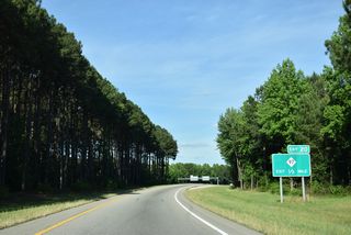
NC 97 (Gannon Avenue) heads east from Downtown Zebulon to a diamond interchange (Exit 20) with U.S. 264.
05/31/21
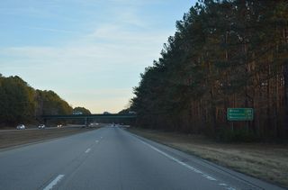
U.S. 264 travels 24 miles from the exchange with NC 97 outside Zebulon to Wilson and 61 miles to Greenville.
12/15/16
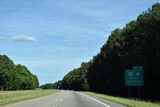
U.S. 264 Alternate separates at Exit 21 to run along the pre-freeway alignment of U.S. 264 east into Middlesex.
05/31/21
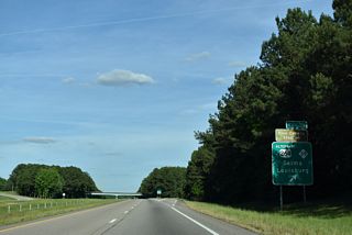
NC 39 connects the Johnston County town of Selma to the south with the Franklin County seat of Louisburg to the north.
05/31/21
The towns of Middlesex and Bailey lie just south of U.S. 264 along U.S. 264 Alternate over the next eight miles.
05/31/21
Future I-587 crosses the Nash County line, 20.42 miles from the beginning of U.S. 264 at I-440.
05/31/21
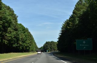
NC 231 constitutes a L-shaped route 24.76 mile east from Wendell to Middlesex and north to U.S. 64 and U.S. 64 Alternate near Spring Hope.
05/31/21
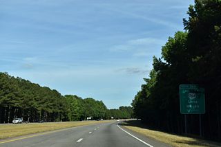
The six-ramp parclo interchange (Exit 36) with U.S. 264 ALT falls partially within the western extent of the Wilson city limits.
05/31/21
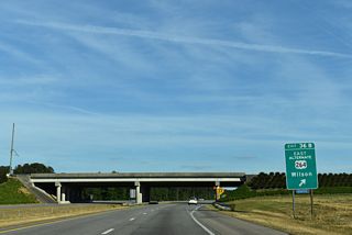
U.S. 264 ALT (Raleigh Road Parkway) continues east from Exit 38B to I-95 at Lamm in west Wilson.
05/31/21

Entering the cloverleaf interchange with Interstate 95, Exit 38A departs U.S. 264 east for I-95 south to Benson, near the crossroads with I-40, and Fayetteville.
05/31/21
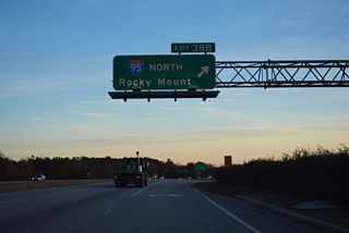
Interstate 795 commences along U.S. 264 east ahead of the loop ramp (Exit 38B) for I-95 north to Rocky Mount and Richmond, Virginia.
12/15/16

 East
East  South
South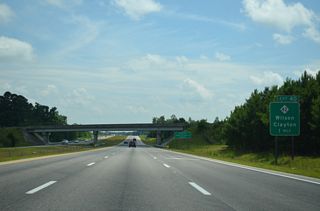
I-795/U.S. 264 continue south from I-95 to a folded diamond interchange (Exit 40) with NC 42.
07/28/13
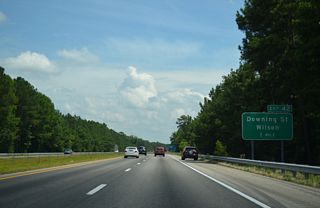
A folded diamond interchange joins I-795/U.S. 264 with Downing Road (SR 1163) southeast of Contentnea Creek.
07/28/13
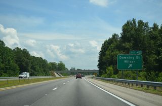
Downing Street crosses Wiggins Mill Reservoir northeast from Exit 42 to Goldsboro Street within the Wilson street grid.
07/28/13
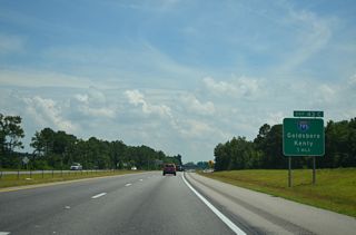
Interstate 795 splits with U.S. 264/Future I-587 at a wye interchange (Exit 43) 0.60 miles beyond the Downing Street entrance ramp.
07/28/13
Photo Credits:
07/28/13, 12/15/16, 05/31/21 by AARoads
Connect with:
Interstate 95
Interstate 795
Page Updated 08-13-2021.


