
 East
East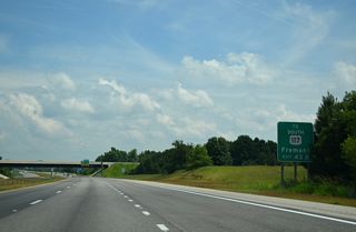
Prior to the establishment of I-795 in 2007, U.S. 117 overlapped with U.S. 264 east to the freeway to Goldsboro. U.S. 117 was returned to its previous alignment, which ends at U.S. 301 just south of Exit 43A.
07/28/13
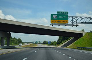
U.S. 301 meets U.S. 264/Future I-587 at a parclo interchange (Exit 43) just north of both U.S. 117 south and I-795.
07/28/13
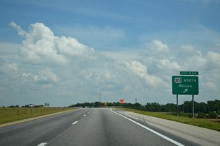
U.S. 301 constitutes a five lane commercial boulevard northeast into Wilson. U.S. 301 overlaps with U.S. 264 ALT along an arteiral bypass east of Downtown.
07/28/13

Black Creek Road (SR 1606) extends 2.81 miles south from Pender Street and the Wilson street grid to a parclo interchange (Exit 46) with U.S. 264.
07/28/13
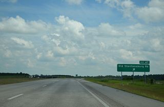
3.17 miles to the north, SR 1602 stems east from Black Creek Road along Stantonsburg Road, which becomes Old Stantonsburg Road south to a folded diamond interchange (Exit 47) with U.S. 264.
07/28/13
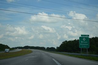
NC 58 branches south from U.S. 264 Alternate 2.15 miles to U.S. 264 along Martin Luther King, Jr. Parkway.
07/28/13
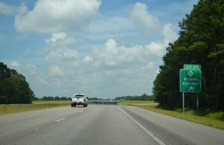
NC 58 continues southeast from Exit 49 to the Greene County seat of Snow Hill and the Lenoir County seat of Kinston.
07/28/13
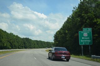
U.S. 264 Alternate arcs southeast from Toisnot Swamp to Drivers Store and U.S. 264/Future I-87 at Exit 51.
07/28/13
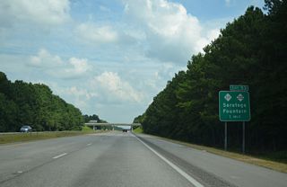
NC 111/222 overlap north through Eureka, Stantonsburg and Saratoga to a point just north of U.S. 264 at Exit 53.
07/28/13
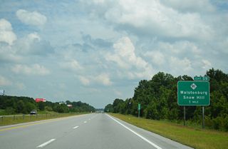
U.S. 264/Future I-587 passes north of Walstonburg, meeting the north end of NC 91 at a diamond interchange (Exit 59) in one mile.
07/28/13
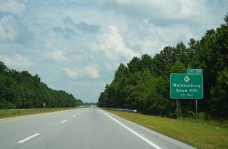
South from Exit 91, NC 91 dog legs west alongside U.S. 264 Alternate to Wilson Street south through the town of Walstonburg.
07/28/13
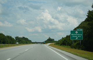
Beyond Walstonburg, NC 91 heads south to Snow Hill. Bell Road (SR 1311) extends north from Exit 59 to NC 222 outside Fountain.
07/28/13
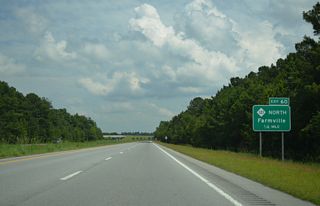
NC 121 commences an 11.90 mile route northeast to NC 43 near Falkland from U.S. 264 at Exit 60.
07/28/13
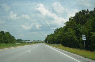
U.S. 264 crosses Thompson Swamp leading into the wye interchange (Exit 60) with NC 121 northbound.
07/28/13
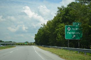
NC 121 angles southeast 1.29 miles to U.S. 264 Alternate, which it briefly overlaps with before continuing east into the town of Farmville.
07/28/13
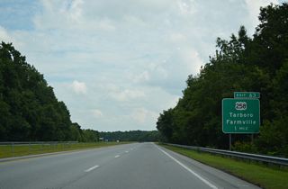
U.S. 258 Business extends southeast from the diamond interchange (Exit 63) taking U.S. 258 southbound onto U.S. 264 east.
07/28/13

 East
East  South
South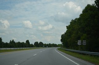
U.S. 258 combines with U.S. 264 east for 2.96 miles. The realignment around Farmville was approved by AASHTO in 2009.
07/28/13
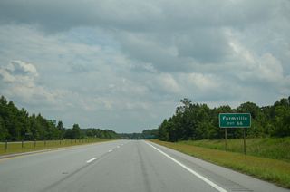
U.S. 258 (Wesley Church Road) south to SR 1139 (E Wilson Street) leads into Farmville. SR 1139 is a former alignment of U.S. 264 ALT.
07/28/13
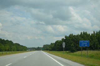
Shields were added to show the realignment of U.S. 258 around Farmville in place of new guide signs by 2010.
07/28/13
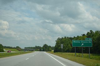
U.S. 258 arcs back to the southwest, rejoining its original alignment south from Main Street en route to Snow Hill.
07/28/13

 East
East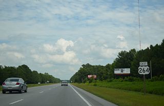
U.S. 264 advances east from Exit 71 by a number of subdivisions off parallel SR 1200 (Stantonsburg Road).
07/28/13
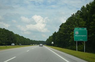
U.S. 264 arcs northward around the city of Greenville along a partial freeway and arterial bypass via Exit 73B.
07/28/13
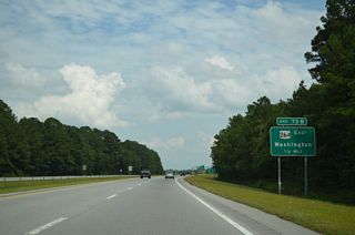
The cloverleaf interchange with U.S. 264 north along Martin Luther King, Jr. Highway was constructed in anticipation of the Southwest Bypass (NC 11).
07/28/13
Sources:
- "Southwest Bypass Opens to Traffic Ahead of Schedule." North Carolina Department of Transportation (NCDOT), press release. November 21, 2019.
Photo Credits:
07/28/13 by AARoads
Page Updated 07-12-2020.


