
U.S. 258 Business runs 3.74 miles north of U.S. 258 through the independent city of Franklin and Camptown in Isle of Wight County in southeastern Virginia. U.S. 258 Business extends Smith Ferry Road north into Franklin from the diamond interchange joining U.S. 258 with U.S. 58 along the Franklin Bypass. U.S. 258 Business proceeds into the Franklin street grid along South Street to High Street, where the route partitions into a couplet through Downtown Franklin.
Northbound U.S. 258 Business follows South Street east to Main Street at Barret's Landing along the Blackwater River. Turning north, U.S. 258 Business follows Main Street two blocks to Elm Street, and Elm Street east and Mechanic Street north to E 2nd Avenue, where it combines with U.S. 58 Business eastbound. U.S. 258 Business southbound loops around Downtown from E 2nd Avenue via Mechanic Street north, 4th Avenue west and High Street south.
U.S. 58-258 Business span the Blackwater River into Isle of Wight County. Passing north of the International Paper mill at Camptown, the business routes line Carrsville Highway northeast to Franklin Municipal Airport and U.S. 258 at Walters Highway north and Camp Family Highway south.
The American Association of State Highway and Transportation Officials (AASHTO) approved an application from the Virginia department of Transportation (VDOT) for both relocating U.S. 258 around the city of Franklin and establishing U.S. 258 Business on May 15, 2004. The relocation was desired to provide a safer and faster route, despite being approximately 9.0 miles in length.
 West
West  South
South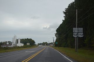
U.S. 58-258 Business (Carrsville Highway) combine ahead of John Beverly Rose Drive north to Franklin Municipal Airport (FKN).
10/12/14
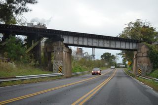
U.S. 58-258 Business (Carrsville Highway) parallels a CSX Railroad line west into Camptown. A Norfolk Southern Railroad line spans both ahead of Jamestown Lane (SR 691).
10/12/14
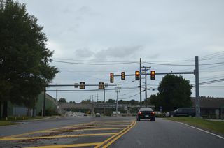
Jamestown Lane (SR 691) connects Carrsville Highway with the adjacent International Paper mill and SR 656 (Union Camp Drive) east to U.S. 258 (Camp Family Highway).
10/12/14
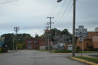
U.S. 58 Business west / U.S. 258 Business south turn onto E 4th Avenue from N Mechanic Street.
10/12/14
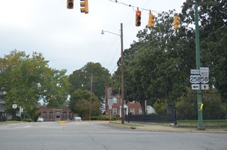
U.S. 58 Business shifts onto Clay Street at the succeeding intersection, returning to U.S. 58 via Camp Parkway in 4.76 miles.
10/12/14
 South
South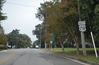
Succeeding reassurance markers for U.S. 258 Business reference the pre-2004 alignment of U.S. 258 through Franklin.
10/12/14
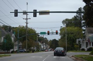
High Street proceeds 0.30 miles south from W 2nd Avenue across a CSX Railroad line to U.S. 258 Business northbound on South Street.
10/12/14
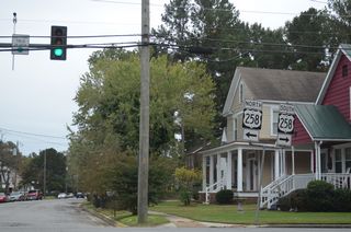
South Street carries both directions of U.S. 258 Business west from High Street to the Franklin city line.
10/12/14
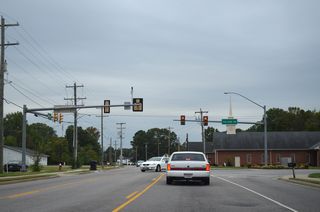
College Drive heads 0.28 miles north to Armory Drive (SR 671) by Paul D. Camp Community College - Frankin Campus.
10/12/14
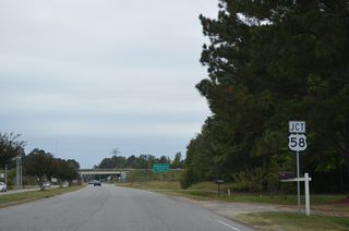
U.S. 258 Business expands to four lanes leading into the diamond interchange with U.S. 58/258 (Southampton Parkway).
10/12/14
Photo Credits:
10/12/14 by AARoads
Page Updated 04-21-2021.


