U.S. 258 extends 68.59 miles north into southeastern Virginia from Riverdale in Southampton County to Fort Monroe in Hampton. U.S. 258 heads north from Murfreesboro, North Carolina to the independent city of Franklin.
U.S. 258 circumvents Franklin along U.S. 58 (Franklin Bypass) east and Great Mill Parkway while U.S. 258 Business runs northeast to Downtown along a 3.74 mile long course. Continuing 12.83 miles northeast, U.S. 258 (Walters Road) meets U.S. 460 (Windsor Boulevard) in the town of Windsor.
Following Courthouse Highway north from Windsor, U.S. 258 advances to Isle of Wright and SR 10 in the town of Smithfield. The second business route loops 3.07 miles east across Smithfield along Main Street and Church Street while U.S. 258 combines with SR 10 along a two lane expressway bypass to the south.
Leading southeast, U.S. 258/SR 10 overlap to Benns Church, where U.S. 258 turns east alongside SR 32 on Brewers Neck Boulevard 2.85 miles to U.S. 17 (Carrollton Boulevard) at Bartlett.
Crossing the James River Bridge northeast into Newport News, U.S. 17/258 overlap for 7.59 miles to SR 143 (Jefferson Boulevard. U.S. 258 follows an arc along Mercury Boulevard into the city of Hampton to Phoebus and SR 143 (Mellen Street), McNair Drive and Ingalls Road in Fort Monroe.
U.S. 258 originally ended at U.S. 58 in Franklin. The Virginia Department of Highways requested an extension north to Old Point Comfort via Windsor, Smithfield, Benns Church, the James River Bridge System, Phoebus and Fort Monroe to the American Association of State Highway Officials (AASHO) on January 2, 1945. Sought to provide an important military route , and to benefit tourist traffic with connections to U.S. 58, 460, 17 and 60, the change from Virginia State Route 258 to U.S. 258 was approved on June 22, 1945.
U.S. 258 Business through Smithfield was established when the bypass for U.S. 258 was completed. The American Association of State Highway Officials (AASHO) approved both changes on November 10, 1973. U.S. 258 was relocated to bypass Franklin in 2004.
 South
South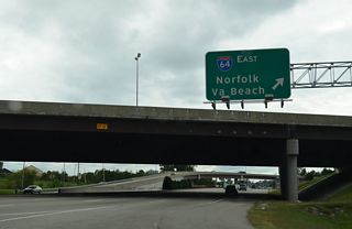
U.S. 258 (Mercury Boulevard) meets I-64 at a cloverstack interchange by Peninsula Town Center in Hampton.
10/12/14
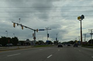
Power Plant Way provides a cutoff from U.S. 258 (Mercury Boulevard) southbound to Power Plant Parkway (SR 415) south.
10/12/14
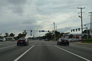
Unmarked from U.S. 258, Power Plant Parkway is part of SR 415 south. SR 415 is a 2.59 mile long route to SR 351 (Pembroke Avenue) and Settlers Landing Road at West Hampton.
10/12/14
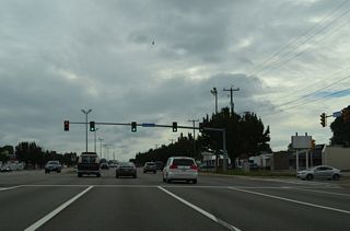
Gumwood Drive intersects U.S. 258 (Mercury Boulevard) north from the Greenwood Farms neighborhood in Hampton.
10/12/14
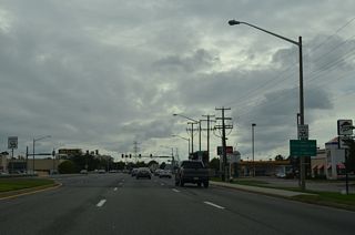
U.S. 258 (Mercury Boulevard) crosses into the city of Newport News between the Newmarket and The Plaza at Newmarket retail centers.
10/12/14

U.S. 17 south and SR 143 converge with U.S. 258 (Mercury Boulevard) at Jefferson Avenue. Prior to 1986, the three routes met at a traffic circle. Due to increasing hazardous conditions, which resulted in 93 accidents at the junction in 1985, a $2 million, eight month long construction project rebuilt the circle into a conventional intersection.1
10/12/14

 South
South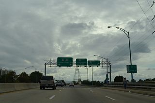
U.S. 17 combines with U.S. 258 south to the James River Bridge. Mercury Boulevard proceeds south across CSX Railroad lines and AMTRAK to a six-ramp parclo interchange with U.S. 60 (Warwick Boulevard).
10/12/14
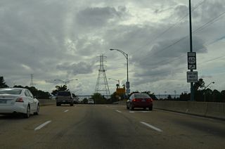
U.S. 60 (Warwick Boulevard) continues south to Huntington Heights and Newport News City Hall.
10/12/14
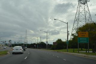
Crossing the James River Bridge, U.S. 17/258 continues 5.2 miles uninterrupted to the next gas station.
10/12/14
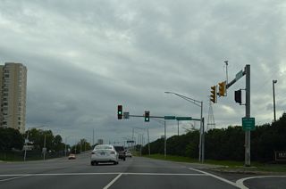
Huntington Beach and the James River Fishing Pier line the north side of U.S. 17/258 (Mercury Boulevard) by Riverpark Drive.
10/12/14
 South
South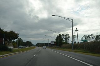
U.S. 17/258 (Carrollton Boulevard) advances south between Kings Creek and Cooper Creek into the unincorporated community of Carrollton.
10/12/14

SR 662 (Whippingham Parkway) loops south through the Eagle Harbor and Carisbrooke developments.
10/12/14
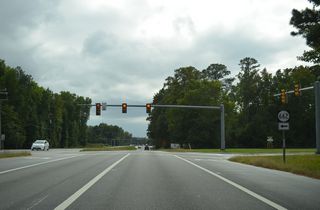
Harbor Point Lane ties into U.S. 17/258 (Carrollton Boulevard) at SR 662 from the Eagle Harbor Apartments.
10/12/14
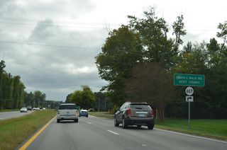
SR 669 (Smiths Neck Road) is a major collector 0.72 miles linking Carrollton Boulevard with SR 665 (Reynolds Drive) through the Eagle Harbor development.
10/12/14
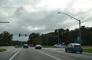
Smiths Neck Road extends 3.12 miles north from SR 669 along SR 665 to Rescue and Goodwin Point at the mouth of the Pagan River.
10/12/14
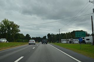
U.S. 258/SR 32 branches west from U.S. 17 (Carrollton Boulevard) along Brewers Neck Boulevard at Barlett. U.S. 17 continues southeast to Portsmouth.
10/12/14
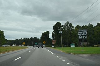
SR 32 overlaps with U.S. 17/258 south from Newport News, but is not acknowledged until the two U.S. routes split at Barlett.
10/12/14
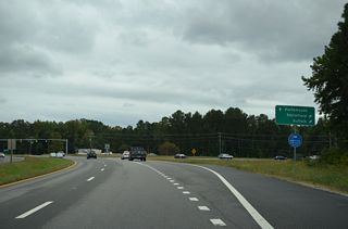
U.S. 258/SR 32 (Brewers Neck Boulevard) head west 2.85 miles to SR 10 at Benns Church. U.S. 17 (Carrollton Boulevard) continues 2.91 miles southeast to the Suffolk city line.
10/12/14

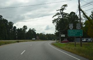
U.S. 258 heads northwest seven miles to Smithfield. Suffolk is seven miles to the south via SR 32 and SR 10.
10/12/14
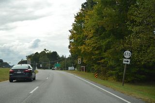
SR 670 (Slant Drive) provides a cutoff to Norsworthy Drive north 0.43 miles to SR 665 (Reynolds Drive) in Carrollton.
10/12/14
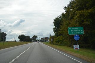
Benns Grant Boulevard opened in 2016, connecting U.S. 258/SR 32 with SR 10 (Benns Church Boulevard) south ahead of Benns Church.
10/12/14
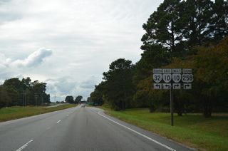
Benns Grant Boulevard arcs southwest as the default movement of SR 32 to SR 10 south. Despite this, shields posted include TO banners.
10/12/14

SR 10/32 overlap 13.1 miles south to Chuckatuck and U.S. 460 Business (Main Street) outside the Suffolk city center.
10/12/14
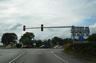
U.S. 258/SR 10 (Benns Church Boulevard) combine northwest 4.26 miles to Main Street in Smithfield.
10/12/14
 South
South 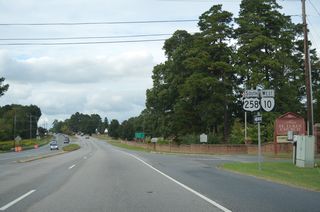
Southbound U.S. 258 runs north alongside SR 10 west on the ensuing stretch into the town of Smithfield.
10/12/14
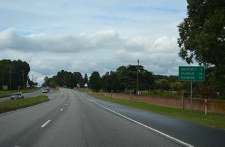
SR 10 extends 78.28 miles northwest from U.S. 258 at SR 32 to U.S. 360 (Hull Street Road) in Richmond.
10/12/14
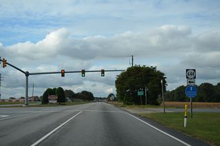
SR 644 (Turner Drive) angles 2.10 miles southwest from U.S. 250/SR 10 (Benns Church Boulevard) to SR 620 (Scotts Factory Road) at Bowling Green Road.
10/12/14
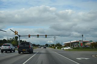
Canterberry Lane spurs east from U.S. 258/SR 10 at Smithfield Plaza to the Waterford Oaks subdivision.
10/12/14
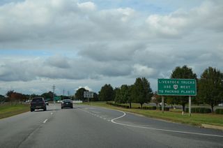
U.S. 258/SR 10 shift onto the Route 10 Bypass at the split with U.S. 258 Business/SR 10 Business (S Church Street) in Smithfield.
10/12/14
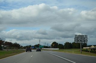
The mainline route of both U.S. 258/SR 10 are referenced with truck banners at the split with the business routes in Smithfield.
10/12/14
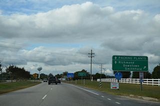
SR 10 Business constitutes a 6.63 mile route north from Smithfield along Old Stage Highway back to SR 10 at Lawson. Smithfield Packing Company lies north of Downtown Smithfield and the Pagan River along N Church Street (SR 10 Business).
10/12/14
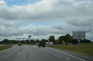
U.S. 258 Business/SR 10 Business overlap for 2.43 miles north to Main Street in Smithfield Center.
10/12/14
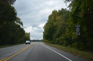
A 0.38 mile long major collector, SR 710 (Fairway Drive) links U.S. 258/SR 10 with SR 655 (Great Springs Road) and the adjacent Cypress Creek golf course community.
10/12/14
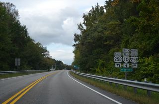
U.S. 258 south splits with SR 10 west at a signalized intersection with U.S. 258 Business north along Main Street.
10/12/14
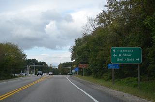
U.S. 258 resumes a southerly course from SR 10 at Smithfield to Isle of Wight and Windsor. SR 10 continues northwest to the Surry County seat of Surry.
10/12/14
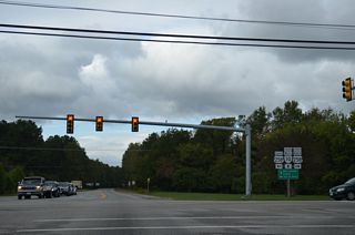
U.S. 258 Business (Main Street) leads 0.64 miles east to SR 10 Business (Church Street) in Downtown Smithfield.
10/12/14
 South
South
SR 620 (Foursquare Road) travels 10.03 miles west from U.S. 258 (Courthouse Highway) to U.S. 460 (General Mahone Boulevard) in the town of Ivor.
10/12/14
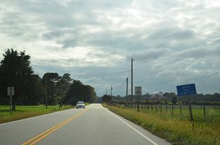
The Isle of Wight County Courthouse comes into view along U.S. 258 south ahead of SR 692 (Poor House Road).
10/12/14
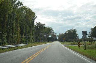
SR 637 leads south from U.S. 258 (Courthouse Road) on Orbit Road 6.87 miles to SR 606 (Five Forks Road) and west along Central Hill Road to Central Hill.
10/12/14
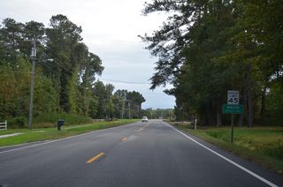
U.S. 258 (Courthouse Highway) enters the town of Windsor south ahead of the Windsor Woods subdivision.
10/12/14
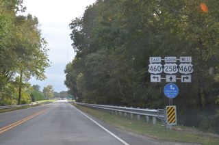
U.S. 460 (Windsor Boulevard) parallels a CSX Railroad line northwest from Windsor and U.S. 258 (Prince Boulevard) to Petersburg.
10/12/14

Long range plans outline an expressway bypass for U.S. 460 north around Windsor and south of Kings Fork and Kings Point to the Suffolk Bypass (U.S. 13/58).
10/12/14
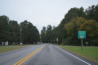
Truck traffic headed to the International Paper mill at Camptown is directed 1.30 miles south on U.S. 258 (Camp Family Highway) from U.S. 58 Business to SR 656 (Union Camp Drive) west.
10/12/14
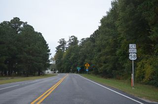
U.S. 58 Business (Carrsville Highway) arcs southwest across U.S. 258 (Walters Highway) between Lees Millpond and Franklin Municipal Airport (FKN).
10/12/14
- "Unsafe Traffic Circle Replaced in 1986." Daily Press (Newport News, VA), March 10, 2004.
- US 17 over James River, Isle of Wight County, Virginia. BridgeReports.com
Connect with:
Interstate 64
U.S. 17
U.S. 58
U.S. 60
U.S. 460
Page Updated 04-21-2021.


