
 South
South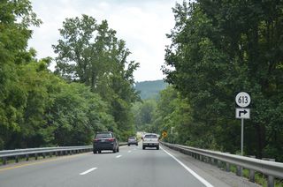
SR 613 (Naff Road) arcs northwest 4.95 miles to Naff and Simmonds Gap on the Roanoke County line.
08/06/13
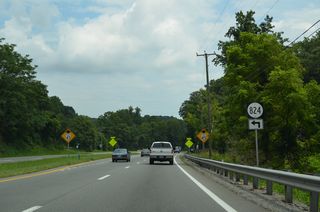
SR 824 is Murray Knob Road spurring northeast toward Murray Knob in the Blue Ridge Mountains.
08/06/13
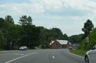
U.S. 220 (Virgil H. Goode Highway) enters the town of Boones Mill ahead of SR 1611 (Winding Way Road).
08/06/13
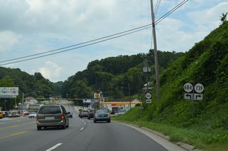
SR 739 (Bethlehem Road) meanders 10.27 miles south of Cahas Mountain and Middle Ridge to SR 602 (Callaway Road) at Algoma.
08/06/13
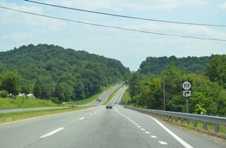
An 8.69 mile long route along south to the Rocky Mount town line, SR 919 represents the historic alignment of U.S. 220 to Helm, Gogginsville and U.S. 220 Business in Rocky Mount.
08/06/13
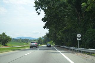
The western branch of SR 691 connects U.S. 220 (Virgil H. Goode Highway) with SR 919 (Grassy Hill Road) along Burgess Road.
08/06/13
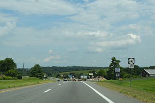
SR 697 heads 2.72 miles southwest from U.S. 220 along Brick Church Road to SR 731 (Dugwell Road).
08/06/13
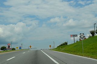
SR 697 (Wirtz Road) travels 8.98 miles east from U.S. 220 to nearby Wirtz and SR 122 (Booker T. Washington Highway). south of Burnt Chimney.
08/06/13
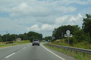
SR 775 (Iron Ridge Road) meanders 3.59 miles southwest to SR 919 (Grassy Hill Road) at Gogginsville. SR 775 links U.S. 220 with SR 697 (Wirtz Road) 0.43 miles to the north.
08/06/13
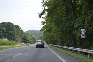
SR 635 is a 7.28 mile long route south from SR 116 (Jubal Early Highway) at Red Valley to Bonbrook and U.S. 220 on Bonbrook Mill Road.
08/06/13
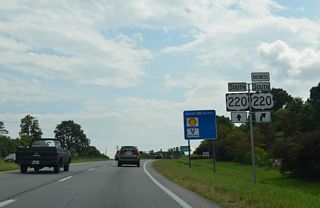
U.S. 220 Business (Main Street) branches southwest from U.S. 220 into Rocky Mount from a modified diamond interchange at Bernard Road.
08/06/13
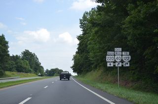
A 229.69 mile long highway across the state from SR 8 at Woolwine to SR 10 at Spring Grove, SR 40 (Pell Avenue) meets U.S. 220 (Virgil H. Goode Highway) at a folded diamond interchange.
08/06/13
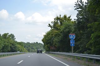
Not to be confused by Virginia Route 40, Interstate 40 is still 76 miles to the south via U.S. 220.
08/06/13
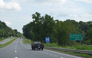
SR 40 (Pell Avenue angles southwest to Downtown Rocky Mount and 30 miles east to U.S. 29 at the town of Gretna.
08/06/13
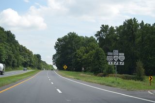
SR 122 (Booker T. Washington Highway) branches north from SR 40 (Pell Avenue), 0.85 miles east of the exchange with U.S. 220. SR 122 is a 54.93 mile long highway traveling northeast to Moneta, Bedford and U.S. 501 at Big Island.
08/06/13

A half diamond interchange with SR 674 (Doe Run Road) at Henry Fork connects U.S. 220 south with U.S. 220 Business (Main Street) north back into Rocky Mount.
08/06/13
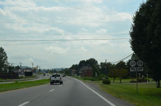
SR 619 (Sontag Road) ventures 11.77 miles southeast across Chestnut Mountain to Franklin County Recreation Park and SR 890 (Snow Creek Road) at Snow Creek.
08/06/13
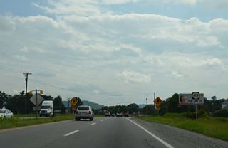
The western branch of SR 619 (Pleasant Hill Road) loops 5.71 miles to Thornton Mountain and SR 40 (W. Hank Norton Highway) near Waidsboro.
08/06/13
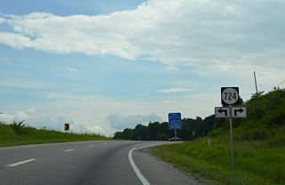
SR 724 (Goose Dam Road) crosses paths with U.S. 220 (Virgil H. Goode Highway) at the settlement of Sydnorsville.
08/06/13

U.S. 220 turns more to the west from Big Chestnut Creek to circumvent Skelt Mountain ahead of the Henry County line.
08/06/13
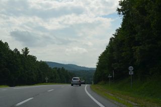
SR 618 (Coopers Mountain Road) traverses areas of Fork Mountain southeast 5.91 miles to SR 890 (Figsboro Road) in Henry County.
08/06/13
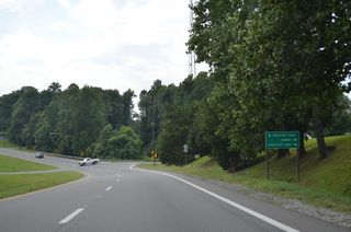
SR 605 (Henry Road) navigates along a winding course 4.92 miles west to SR 606 (Towns Creek Road) at Henry.
08/06/13
Photo Credits:
08/06/13 by AARoads
Page Updated 04-26-2021.


