
U.S. 82 crosses southern Georgia from Eufaula, Alabama east to Albany, Tifton and Brunswick. Through Albany, U.S. 82 combines with U.S. 19 along the Liberty Expressway, a freeway bypass around the north and east sides of the city. The former route southeast to Downtown along Dawson Road and east across the Flint River along Oglethorpe Boulevard is U.S. 82 Business. The Liberty Expressway west from U.S. 19 to U.S. 82 was initially designated as SR 333. U.S. 82 shifted onto the freeway, with the old alignment renumbered as a business loop per AASHTO on October 13, 1979.
Through Waycross, the U.S. 82 was realigned to bypass a portion of the city on a new route west to Waresboro. This change was approved by AASHTO on May 23, 1984. The east end was extended from the intersection with U.S. 17 at Midway to overtake SR 38 east to Interstate 95 at Exit 76. This included a new alignment (State Route 707) running east from U.S. 17/82 to SR 38 (Martin Road). AASHTO signed off on the extension at their meeting on June 25, 1979.
The alignments of U.S. 82 and U.S. 84 east of Waycross traded places, with U.S. 82 overtaking U.S. 84 east from Waycross to Brunswick and U.S. 84 following what was U.S. 82 northeast to Midway. An additional adjustment approved by AASHTO on December 2, 1988 was the elimination of U.S. 84 east from I-95 into the city of Brunswick. That left the new U.S. 82 ending at I-95 instead of running concurrent with U.S. 17 across the Sidney Lanier Bridge as U.S. 84 did.

 East
East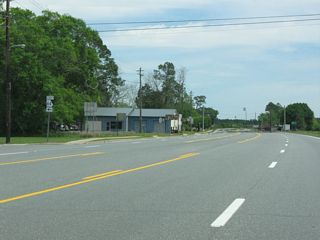
SR 64 branches north from U.S. 82/SR 520 (Albany Avenue) along Pearson Street. The state route continues 15.97 miles from Pearson to SR 158 at Wilsonville.
04/10/10
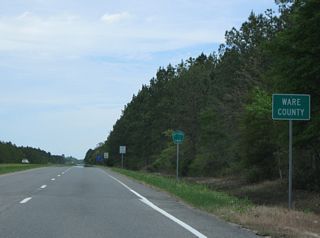
U.S. 82/SR 520 (South Georgia Parkway) cross into Ware County east of Axson and Red Bluff Creek.
04/10/10
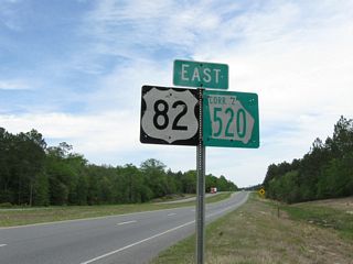
Replaced shields for U.S. 82 and SR 520/Corridor Z ahead of Dyson Road north and Hasty Road south.
04/10/10
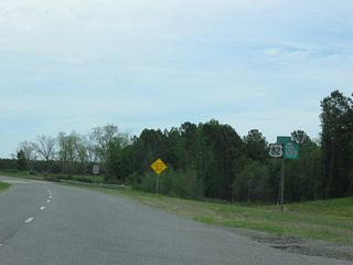
The four lane alignment of U.S. 82/SR 520 north of Waresboro replaced Albany Avenue as the route for U.S. 82.
04/10/10

 East
East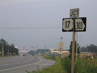
U.S. 82/SR 520 (South Georgia Parkway) east intersect U.S. 17/SR 25 (Coastal Highway) at the south end of SR 303 (Blythe Island Highway). U.S. 82/SR 520 overlap with U.S. 17/SR 25 for 0.70 miles to I-95.
07/22/04
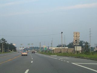
SR 303 (Blythe Island Highway) arcs 9.05 miles east across the South Brunswick and Turtle Rivers to U.S. 25/341 and U.S. 17 (Darien Highway) in north Brunswick.
07/22/04
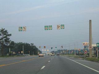
U.S. 17/SR 25 (Coastal Highway) south cross the Little Satilla River 3.63 miles to the southwest to Spring Bluff in Camden County. SR 520 (South Georgia Parkway) accompanies U.S. 17/SR 25 east 6.08 miles to Jekyl Island Causeway.
07/22/04

 North
North 
 East
East
 South
South 
 West
West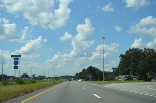
U.S. 82 commences west from the parclo interchange joining U.S. 17/SR 25-520 with Interstate 95.
09/22/14
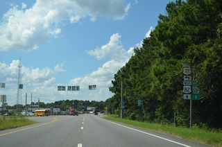
U.S. 17/SR 25 turn south from U.S. 82/SR 520 (South Georgia Parkway) toward Waverly 0.70 miles west of Interstate 95 at SR 303 (Blythe Island Highway).
09/22/14
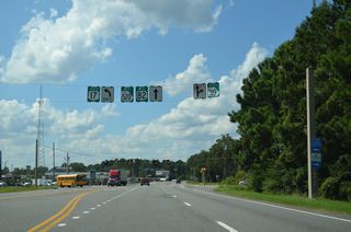
U.S. 82/SR 520 continue west from the Brunswick area to Nahunta and Waycross. SR 303 (Blythe Island Highway) runs 9.13 miles to U.S. 17/SR 25 on the north side of Brunswick.
09/22/14

 West
West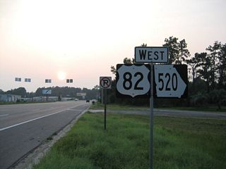
Confirming markers for U.S. 82/SR 520 west of U.S. 17/SR 25 and SR 303. The Brantley County seat of Nahunta lies 25 miles to the west along South Georgia Parkway.
07/22/04
Connect with:
Interstate 75
Interstate 95
U.S. 1
U.S. 17
U.S. 19
U.S. 23
U.S. 27
U.S. 84
U.S. 129
U.S. 221
U.S. 301
U.S. 319
U.S. 441
Page Updated 06-07-2021.


