 East
East  North
North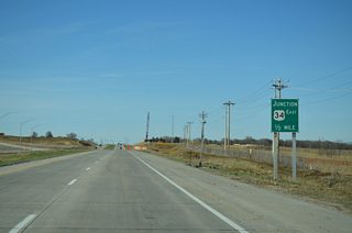
U.S. 34 overlaps with U.S. 75, 18.8 miles north from Union to La Platte in Sarpy County. The two part ways at a diamond interchange built in 2018.
03/28/16

U.S. 34 winds southeast 6.8 miles along an at-grade expressway to Interstate 29/U.S. 275 west of Glenwood, Iowa. The bridge spanning the Missouri River along U.S. 34 was completed in 2014.
03/28/16
 North
North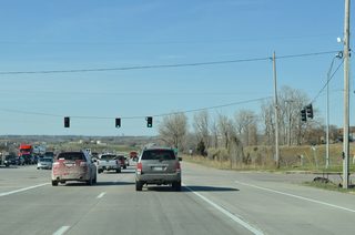
The signalized intersection with Normandy Boulevard was eliminated during construction to upgrade U.S. 75 into a freeway.
03/28/16
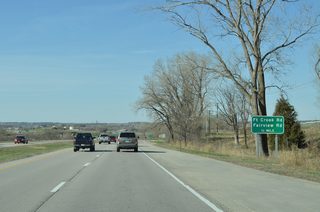
Fort Crook Road (former U.S. 73/75) separates with U.S. 75 north to Offutt Air Force Base at the ensuing exit.
03/28/16
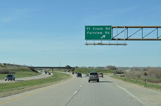
The wye interchange joining U.S. 75 north with Fort Crook Road was replaced with a diamond interchange at Fairview Road. Fort Crook Road was realigned to parallel the freeway south to Grenoble Drive and the Normandy Hills subdivision.
03/28/16

U.S. 75 shifts westward across Papillion Creek and enters the city of Bellevue at forthcoming Capehart Road.
03/28/16

Capehart Road heads west from U.S. 75 to suburban areas of southwest Bellevue and unincorporated Sarpy County south of Papillion.
03/28/16
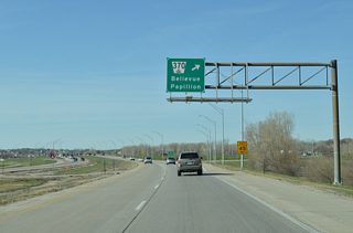
N-370 constitutes an arterial route west to Papillion and U.S. 6 at Gretna. The state highway east along Harlan Drive into Bellevue was decommissioned.
03/28/16
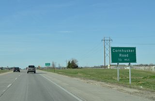
U.S. 75 advances a half mile north across Mud Creek to a diamond interchange with Cornhusker Road.
03/28/16

Cornhusker Road arcs southeast to Harvell Drive ahead of Bellevue University. The arterial continues west from U.S. 75 to Sixth Street in Papillion.
03/28/16
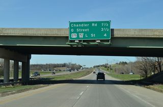
Chandler Road, located 1.5 miles ahead, is the last exit for the city of Bellevue on U.S. 75 north.
03/28/16
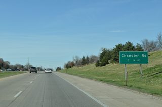
Chandler Road links U.S. 75 with the north end of Fort Crook Road. U.S. 73/75 historically followed S 13th Street into the nearby Brown Park neighborhood of south Omaha.
03/28/16
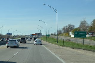
U.S. 75 (Kennedy Freeway) runs between a Union Pacific Railroad line and Railroad Avenue ahead of the parclo interchange with Q Street.
03/28/16
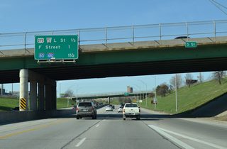
U.S. 75 (Kennedy Freeway) drops below grade from Q Street north a half mile to U.S. 275/N-92 (L Street).
03/28/16
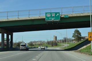
U.S. 275/N-92 (L Street) overlap across Omaha to Ralston and a point west of the Elkhorn River. Following Missouri Avenue to the east, U.S. 275 spans the South Omaha Veterans Memorial Bridge into Council Bluffs, Iowa. N-92 becomes Iowa 92.
03/28/16
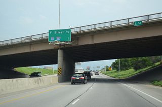
U.S. 75 navigates along an S-curve north from L Street to F Street and I-80 through the Highland Park neighborhood.
06/18/15

U.S. 75 enters back to back directional T interchanges with Interstate 80 just north of the F Street overpass at Highland Park.
03/28/16
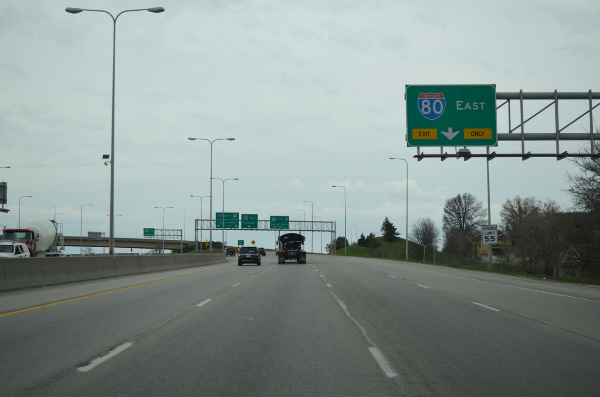
The entrance ramp from F Street forms an auxiliary lane north to Interstate 80 east for Council Bluffs and Des Moines, Iowa.
03/29/16
Photo Credits:
06/18/15, 03/28/16, 03/29/16 by AARoads
Connect with:
Interstate 80
U.S. 6
U.S. 30
Page Updated 02-14-2020.


