Through the Commonwealth of Virginia, U.S. 17 joins Hampton Roads and the Tidewater Region with Gloucester and Tappahannock. U.S. 17 converges with U.S. 1 and I-95 at Fredericksburg, then branches northwest to U.S. 15 at Opal and U.S. 211 at Warrenton. Following an overlap with I-66 between Marshall and Delaplane, U.S. 17 resumes a northward course to Sky Meadows State Park in Fauquier County.
U.S. 17 travels 240.61 miles north from the North Carolina state line at Chesapeake to U.S. 50 at Paris. U.S. 17/50 overlap 18.76 miles northwest to U.S. 11/522 (Cameron Street) in Winchester. U.S. 17 ends to the north at Cameron and Cork Streets in Downtown Winchester where U.S. 50 west splits with U.S. 11/522 north.
Dominion Boulevard - Chesapeake
Within the city of Chesapeake, U.S. 17 (George Washington Memorial Highway) initially runs alongside the Dismal Swamp Canal. The route was realigned away from the canal northward to U.S. 17 Business at Dominion Boulevard, with the new four lane highway completed in 2006. U.S. 17 Business follows George Washington Memorial Highway north along Dismal Swamp Canal 4.07 miles to SR 165 (Moses Grandy Trail) at Deep Creek and 5.28 miles overall to I-64/U.S. 17 at Exit 296. U.S. 17 angles northeast along Dominion Boulevard 6.68 miles to SR 168 (Oak Grove Connector) and the exchange with I-64/464. U.S. 17 combines with I-64 (Hampton Roads Beltway) for 4.31 miles west back to George Washington Memorial Highway (U.S. 17 Business). The relocation of U.S. 17 and the establishment of U.S. 17 Business in Chesapeake was approved by the American Association of State Highway and Transportation Officials (AASHTO) on May 19, 2001. Sign changes were implemented by Winter 2002.
U.S. 17 (Dominion Boulevard) crosses the Southern Branch of the Elizabeth River over the Veterans Bridge. Expansion of Dominion Boulevard (then SR 104) was planned by the city of Chesapeake in 1998.1 With a lack of state funds available, the city opted to finance the $400 million Dominion Boulevard Improvement Project with toll revenue.2 Work expanded six miles of Dominion Boulevard and a series of nine spans. Completed in November 2016 ahead of schedule and under budget, all electronic tolling (AET) on the Veterans Bridge commenced on February 9, 2017.1,3 A toll schedule approved by Chesapeake City Council in 2016 implemented annual increases of 5 percent each July through 2035.2
 North
North
U.S. 17 (George Washington Memorial Highway) enters the independent city of Chesapeake north through the Great Dismal Swamp.
12/14/17
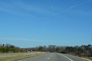
Crossing Wild Horse Ridge on U.S. 17 (George Washington Memorial Highway) north through the Great Dismal Swamp.
12/14/17
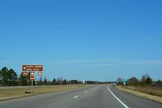
The former alignment of U.S. 17 was repurposed as the Dismal Swamp Canal Trail from U.S. 17 Business southward.
12/14/17
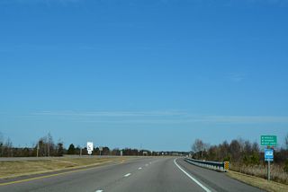
U.S. 17 Business (George Washington Memorial Highway) separates from U.S. 17 (Dominion Boulevard) west and north to Deep Creek in Chesapeake.
12/14/17
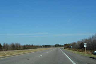
Eaglet Parkway links U.S. 17 (Dominion Boulevard) with the former alignment of U.S. 17 along Whedbee Carroll Lane.
12/14/17
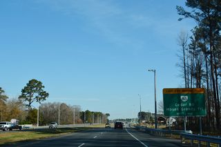
The SPUI with SR 165 (Moses Grandy Trail south / Cedar Road north) precedes the tolled Veterans Bridge along U.S. 17 north.
12/14/17
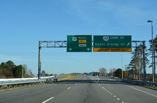
SR 165 is a circuitous route in Hampton Roads leading west from U.S. 17 along Moses Grandy Trail to U.S. 17 Business at Deep Creek and east on Cedar Road to SR 168 Business (Battlefield Boulevard).
12/14/17
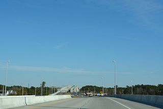
U.S. 17 (Dominion Boulevard) upgrades to a limited access highway from SR 165 northeast to SR 168 (Oak Grove Connector).
12/14/17
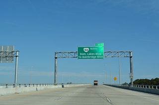
A diamond interchange joins U.S. 17 (Dominion Boulevard) with the south end of SR 166 (Bainbridge Boulevard) beyond the Veterans Bridge.
12/14/17
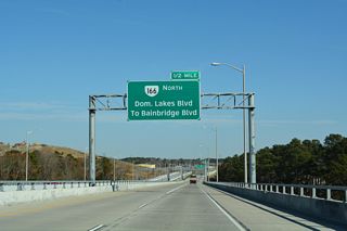
SR 166 was realigned eastward during construction upgrading Dominion Boulevard to limited access standards.
12/14/17
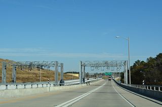
Toll gantries for the Veterans Bridge are located on the elevated rodway north of Bainbridge Point (old SR 166).
12/14/17
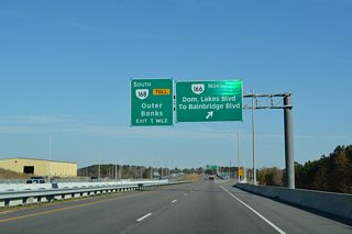
SR 166 (Bainbridge Boulevard) runs north from Chesapeake alongside U.S. 460 into Norfolk. Dominion Lakes Boulevard ties into the exchange with SR 166 from subdivisions along the east side of U.S. 17.
12/14/17
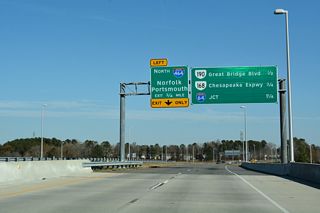
Starting with SR 190 (Great Bridge Boulevard), four exit ramps separate from U.S. 17 (Dominion Boulevard) northbound over the ensuing 1.25 miles.
12/14/17
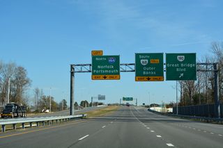
SR 190 (Great Bridge Boulevard) loops south from SR 166 (Bainbridge Boulevard) and east to SR 225 (Independence Boulevard) in Virginia Beach along a 15.43 mile long course.
12/14/17
 North North |
| U.S. 17 (Bridge Road) intersects Harbor View Boulevard north just beyond the west end of SR 164 (Western Freeway). 12/14/17 |
| The succeeding traffic light on U.S. 17 (Bridge Road) northbound is with Plummer Boulevard. 12/14/17 |
 North
North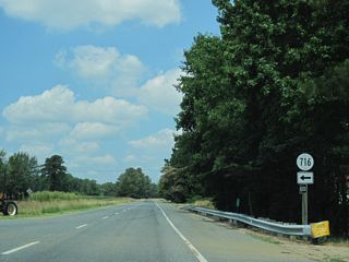
SR 716 (Warings Mill Road) is a minor collector running 2.13 miles south from U.S. 17 to SR 627 (Mount Landing Road) at Upper Mount Landing.
06/25/10
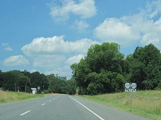
SR 624 continues west across U.S. 17 at Caret along Essex Church Road 3.07 miles to SR 629 (Battery Road) at Lloyds.
06/25/10
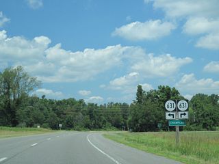
U.S. 17 meets CR 631 (Llloyds Road west / Daingerfield Landing) at the unincorporated community of Champlain.
06/25/10
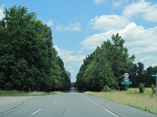
SR 637 (Occupacia Road) stems 4.08 miles west from U.S. 17 by Hunters Millpond to the settlement of Occupacia and SR 635 (Rose Mount Road) at Hustle.
06/25/10
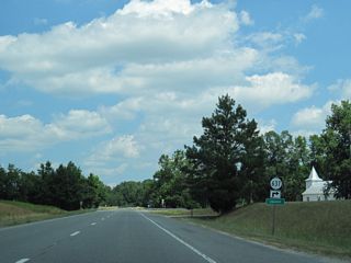
SR 637 (Laytons Landing Road) branches northeast from U.S. 17 at Chance to Layton along the Rappahannock River.
06/25/10

U.S. 17 (Tidewater Trail) north intersects SR 654 (Belle Meade Road north / Rectory Road south) at Loretto.
06/25/10
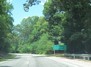
U.S. 17 (Tidewater Trail) continues five miles northwest from the Portobago Bay development to Port Royal.
06/25/10
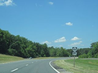
U.S. 17 runs along the boundary of Fort A.P. Hill north by SR 686 (Camden Road) to Port Royal Cross Roads.
06/25/10
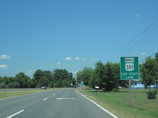
U.S. 17 meets U.S. 301 (A.P. Hill Boulevard)outside the town of Port Royal at Port Royal Crossroads.
06/25/10
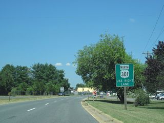
U.S. 301 travels northeast from Port Royal to the Governor Harry W. Nice Memorial/Senator Thomas "Mac" Middleton Bridge spanning the Potomac River into Maryland.
06/25/10
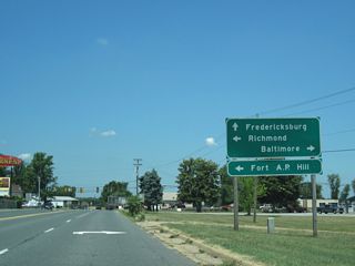
U.S. 301 heads southwest through Fort A.P. Hill to Bowling Green, where it turns south to Richmond.
06/25/10
  South South |
| U.S. 17/258 combine south from Jefferson Avenue (SR 143) and U.S. 60 (Warwick Boulevard) in Newport News across the James River Bridge. 10/12/14 |
| The James River Bridge is a four lane lift bridge. 10/12/14 |
| Measuring 4.4 miles in length, the James River Bridge bee lines southwest from Huntington Park in Newport News to Ragged Island Wildlife Management Area. 10/12/14 |
| U.S. 17/258 ascend across a second channel on the James River. 10/12/14 |
| Built in 1980, the James River Bridge crosses the Isle of Wight County line. 10/12/14 |
 South South |
| U.S. 17 (Bridge Road) splits with SR 164 (Western Freeway) just ahead of Harbor View Boulevard at Belleville in Suffolk. SR 164 links U.S. 17 south with I-664 north. 12/14/17 |
| Harborview Boulevard is an arterial paralleling I-664 northward 2.46 miles to SR 135 (College Drive) at Armstead Road. 12/14/17 |
| Town Point Road (SR 658) runs 1.82 miles south from U.S. 17 at Belleville to Pughsville and Pughsville Road east of Deanes. 12/14/17 |
| A half diamond interchange joins U.S. 17 (Bridge Street) with I-664 (Hampton Roads Beltway) south to Chesapeake directly. 12/14/17 |
 South
South 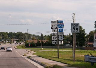
An implied overlap takes U.S. 17 south alongside SR 190 (Great Bridge Boulevard) 0.26 miles from I-64 (Hampton Roads Beltway) to Dominion Boulevard. The intersection joining SR 190 with Dominion Boulevard was upgraded to a diamond interchange.
09/05/10
 South
South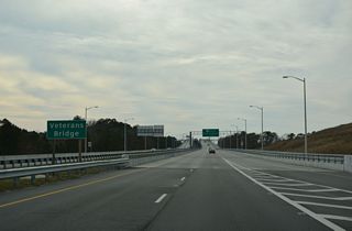
The Veterans Bridge extends south from the SR 166 (Bainbridge Road) entrance ramp to span the Elizabeth River Southern Branch.
12/30/17
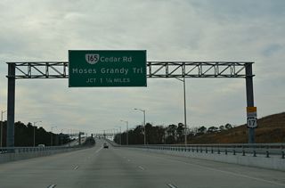
U.S. 17 (Dominion Boulevard) meets SR 165 (Cedar Road / Moses Grandy Trail) at a SPUI beyond the Veterans Bridge.
12/30/17
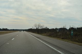
U.S. 17 (Dominion Boulevard) turns south ahead of Eaglet Parkway, which connects to the former alignment (Whedbee Carroll Lane) west to the Dismal Swamp.
12/30/17
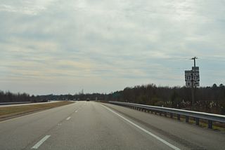
U.S. 17 Business (George Washington Memorial Highway) ties into U.S. 17 (Dominion Boulevard) south from Deep Creek in Chesapeake.
12/30/17
 scenes scenes |
| SR 190 (Great Bridge Boulevard) previously met U.S. 17 (Dominion Boulevard) at a signalized intersection south of Doziers Corner. Dominion Boulevard carries U.S. 17 southwest from the adjacent Oak Grove Connector (I-464 north / SR 168 south). 09/05/10 |
- "CASEY: Local doc steamed at toll-bridge 'blackmail'." The Roanoke Times (VA), March 3, 2018.
- "Tolls to go up on Veterans Bridge in Chesapeake." The Virginia-Pilot (Norfolk), June 21, 2017.
- "Toll increases again at Dominion Boulevard Veterans Bridge in Chesapeake." WAVY-TV (Virginia Beach), July 1, 2020.
Photo Credits:
09/05/10 by Will Weaver
Connect with:
Interstate 64
Interstate 66
Interstate 95
U.S. 1
U.S. 13
U.S. 15
U.S. 29
U.S. 58
U.S. 301
U.S. 460
State Route 55
State Route 164
Page Updated 04-14-2021.


