 North
North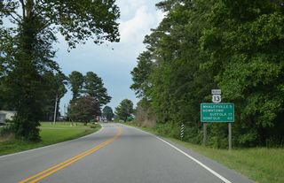
The Whaleyville community in Suffolk lies five miles to the northeast beyond the intersection with Drum Hill Road.
07/28/13

Arthur Drive stems north from U.S. 13 (Whaleyville Boulevard) into the rural community of Somerton.
07/28/13
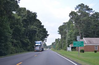
Great Fork Road (SR 677) converges with U.S. 13 north 11 miles from Downtown Suffolk, and 3.60 miles north from the North Carolina state line.
07/28/13
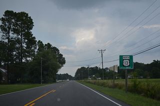
U.S. 13 (Whaleyville Boulevard) meets SR 32 (Carolina Road) ahead of Suffolk Executive Airport (SFQ).
07/28/13
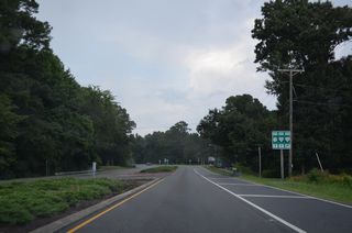
SR 32 (Carolina Road) travels 9.46 miles north from the North Carolina state line to Nurney and U.S. 13 where the highway expands to four lanes.
07/28/13
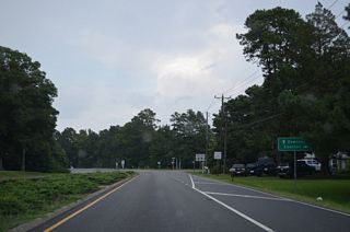
SR 32 forms a multi state route with NC 32 south to Edenton, Plymouth and Washington, North Carolina.
07/28/13

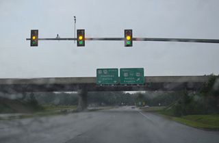
U.S. 13 shifts onto the limited access Suffolk Bypass while SR 32 continues alongside U.S. 13 Business (Carolina Road) north to Downtown Suffolk.
07/28/13
 North
North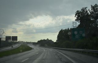
U.S. 13 (Suffolk Bypass) heads 2.54 miles northwest across Lake Kilby to a trumpet interchange with U.S. 58 (Holland Road).
07/28/13
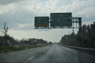
Turlington Road east to Kilby Shores Drive north connects U.S. 13 with U.S. 58 Business (Holland Road) toward Downtown Suffolk.
07/28/13
 North
North  East
East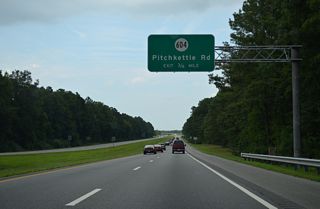
U.S. 13/58 (Suffolk Bypass) angle northeast from Kilby to a diamond interchange with SR 604 (Pitchkettle Road).
07/28/13
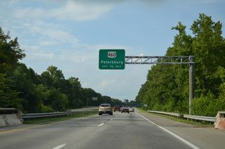
U.S. 460 (Pruden Boulevard) ventures southeast from Petersburg to join U.S. 13/58 along the Suffolk Bypass.
07/28/13
 North
North 
 East
East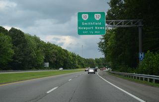
SR 10 begins 0.54 miles to the south of the parclo interchange with U.S. 13-58-460 (Suffolk Bypass) at the SR 32 (Godwin Boulevard) north split with U.S. 460 Business (Pruden Boulevard) west.
07/28/13

SR 10/32 (Godwin Boulevard) continue north through a commercialized stretch from U.S. 13-58-460 (Suffolk Bypass) en route to Smithfield. SR 32 eventually combines with U.S. 258 and U.S. 17 across the James River Bridge northeast to Newport News.
07/28/13
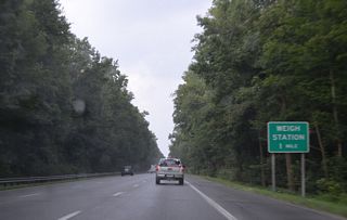
U.S. 13-58-460 Business (Portsmouth Boulevard) conclude along U.S. 13-58-460 east ahead of Bob Foeller Drive and a weigh station.
07/28/13
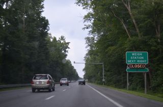
Weigh stations operate along both sides of U.S. 13-58-460 (W Military Highway) west of the Chesapeake city line.
07/28/13
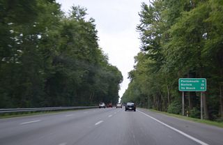
Traversing Great Dismal Swamp, U.S. 13-58-460 advance east into Chesapeake, nine miles from Downtown Portsmouth.
07/28/13
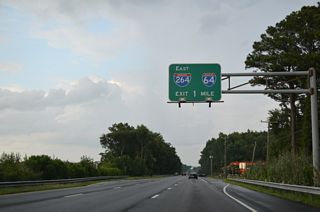
U.S. 13-58-460 (W Military Highway) enter a cloverleaf interchange with I-664 (Hampton Roads Beltway) west of I-64/264 in one mile.
07/28/13
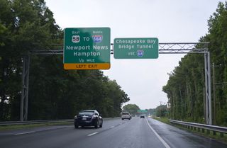
U.S. 58 continues east from U.S. 13/460 through the exchange with I-664 to SR 191 (Joliff Road) at Military Highway in Bowers Hill.
07/28/13

U.S. 13/460 split with the ramp for I-664 south for the continuation of Military Highway east from Bowers Hill. I-64 parallels Military Highway to the south from I-264/664 to SR 168 (Chesapeake Expressway) south to the Outer Banks.
12/14/17
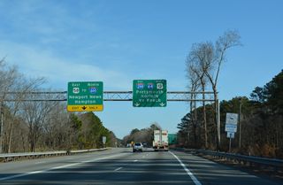
Interstate 664 south concludes at a three-wye interchange with I-264 east to Portsmouth and the I-64 to Virginia Beach.
12/14/17
 North
North  East
East
Military Highway separates from U.S. 13-58-460 along a frontage road south of the exchange with I-664. U.S. 13/460 join the arterial via this connecting ramp.
12/14/17
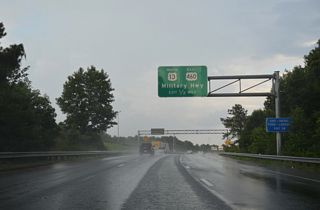
The entrance ramp for I-664 south from U.S. 13/460 east merges onto the Hampton Roads Beltway ahead of Exit 14 for Military Highway beyond Bowers Hill.
07/28/13

U.S. 13/460 (W Military Highway) parallel a CSX Railroad line to S Military Highway adjacent to I-664.
12/14/17
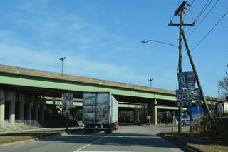
U.S. 13 north / U.S. 460 east follow W Military Highway north to U.S. 58/460 ALT (Airline Boulevard) at SR 191 (Joliff Road) north.
12/14/17
 North
North
U.S. 13 (Military Highway) meets U.S. 58 (Virginia Beach Boulevard) at a SPUI adjacent to Military Circle Mall. Constructed in 2000, the SPUI replaced a cloverleaf interchange.1
03/25/01
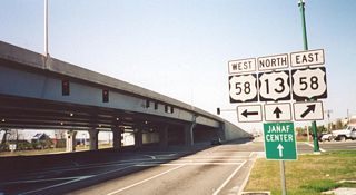
Paralleling I-264 to the north, U.S. 58 (Virginia Beach Boulevard) constitutes a major arterial between the cities of Norfolk and Virginia Beach.
03/25/01
 North
North 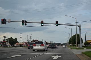
Burton Station Road spurs 0.75 miles northwest from U.S. 13 (Northampton Boulevard) to Miller store Road at general aviation services at Norfolk International Airport (ORF).
07/28/13
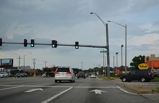
Baker Road intersects U.S. 13/SR 166 (Northampton Boulevard) north from Diamond Lake Estates, Lawson Forest and other subdivisions and south of a large industrial park.
07/28/13
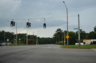
SR 166 heads 1.32 miles north along Diamond Springs Road to U.S. 60 (Shore Drive) by the Joint Expeditionary Base Little Creek - Fort Story Central military complex.
07/28/13
 North
North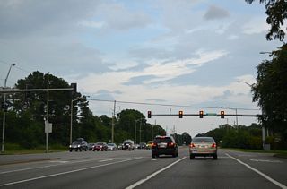
Bayside Road is a major collector linking U.S. 13 (Northampton Boulevard) with SR 166 (Diamond Springs Road) 0.65 miles to the northwest.
07/28/13
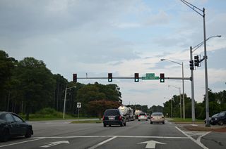
Shell Road ties into U.S. 13 across from Jack Frost Road by the Lake Lawson/Lake Smith Natural Area.
07/28/13
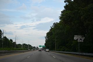
Advancing east from Lake Lawson, U.S. 13 (Northampton Boulevard) meets SR 225 (Independence Boulevard) at a cloverleaf interchange.
07/28/13
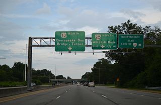
SR 225 (Independence Boulevard) is a principle arterial running south from U.S. 13 to U.S. 58 (Virginia Beach Boulevard) and I-264 in Virginia Beach.
07/28/13
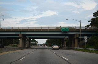
SR 225 (Independence Boulevard) concludes 0.53 miles north of U.S. 13 at U.S. 60 (Shore Drive) and Joint Expeditionary Base (JEB) Little Creek - Fort Story Gate 5.
07/28/13
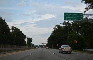
Pleasure House Road angles northeast from SR 225 (Independence Boulevard) at Robbins Corner to the succeeding intersection along U.S. 13 northbound.
07/28/13
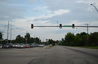
Pleasure House Road continues 1.28 miles north from Northampton Boulevard to U.S. 60 (Shore Drive) at Bayside and Lookout Road at Chesapeake Beach Park.
07/28/13
An elaborate traffic control system along the Chesapeake Bay Bridge-Tunnel (CBBT) operates during periods of inclement weather, lane blockages due to accidents or stalled vehicles or maintenance. Traffic signals and LED advisory signs are posted throughout the 17.6 mile system of bridges. The traffic pattern can be altered with one bridge supporting two-way traffic as needed. Figures referenced for the U.S. 13 section along the CBBT were obtained from the Chesapeake Bay Bridge-Tunnel Facts page.
 North
North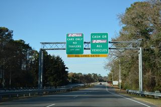
The Chesapeake Bay Bridge Tunnel northbound toll plaza lies a third of mile north of exchange with U.S. 60 and west of Lake Joyce.
12/14/17
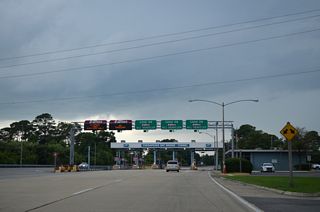
The CBBT Toll Plaza was expanded to five lanes with two dedicated to E-ZPass transactions after 2001.
07/28/13
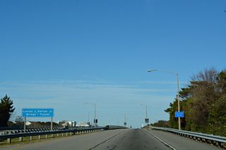
Named for Lucius J. Kellam, Jr, the CBBT northbound initially spans Lookout Road and Chesapeake Beach Park.
12/14/17
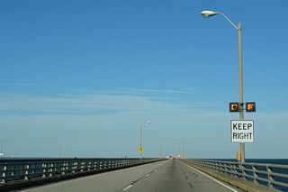
The Parallel Thimble Shoal Tunnel Project underway from October 1, 2017 to 2024 builds a second lane tunnel for southbound traffic. Upon completion, U.S. 13 will maintain two lanes in each direction across Thimble Shoal Channel.
12/14/17
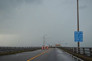
South Thimble Island formerly houses Virginia Originals & Chesapeake Grill restaurant and gift shop in addition to a fishing pier. These amenities were demolished to make way for Parallel Thimble Shoal Tunnel Project construction.
07/28/13
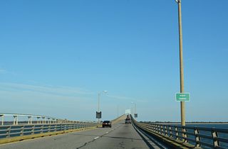
The North Channel Bridge measures 3,798 feet in length, 698 feet shorter than the 35 year newer southbound span.
12/14/17
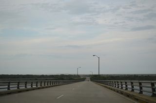
Cape Charles Lighthouse appears along the eastern horizon as U.S. 13 descends toward Fishermans Island.
07/28/13
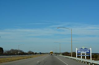
U.S. 13 continues north onto Cape Charles ahead of the Eastern Shore of Virginia Welcome Center.
12/14/17
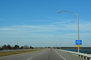
Located north of the Fisherman Inlet Bridge, a scenic overlook lines the west side of U.S. 13 near Wise Point, the southern tip of Cape Charles.
12/14/17
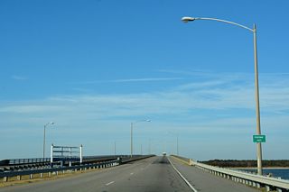
The Fisherman Inlet Bridge crests at 40 feet above a 110 foot wide navigation channel on Fishermans Inlet.
12/14/17
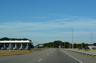
The Eastern Shore of Virginia Welcome Center lies across from the southbound CBBT Toll Plaza.
12/14/17
U.S. 13 has seven sections of 45 mile per hour speed zones and four of 50 MPH zones on the Eastern Shore.2 There are 68 miles between the Chesapeake Bay Bridge Tunnel and the Maryland state line.
 North
North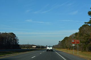
SR 645 (Cedar Grove Road) connects U.S. 13 (Lankford Highway) with Kiptopeke Drive (SR 704), 0.24 miles to the west. SR 704 spurs southwest along former U.S. 13 into Kiptopeke State Park.
12/14/17
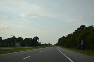
U.S. 13 (Lankford Highway) next converges with SR 704 (Kiptopeke Drive), the historic alignment of U.S. 13 north from Little Creek Ferry across Chesapeake Bay.
07/28/13
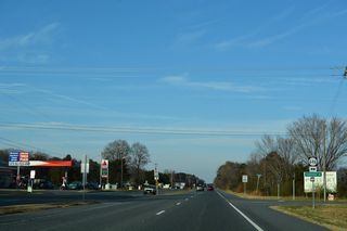
SR 646 (Townsend Drive) stems 0.56 miles west from SR 600 (Seaside Road) at Townsend to U.S. 13.
12/14/17
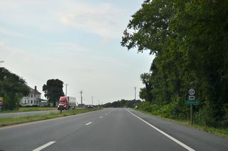
SR 624 (Siding Road) links U.S. 13 with SR 600 (Seaside Road), 0.45 miles to the east at Capeville.
07/28/13
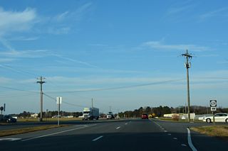
SR 624 continues 1.30 miles west from U.S. 13 along Capeville Drive to SR 645 (Arlington Road) near Cheapside.
12/14/17
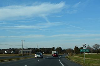
SR 644 (Arlington Road) spurs west from U.S. 13 to Arlington and the Tomb of Custis along Old Plantation Creek.
12/14/17
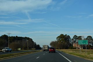
A third business route for U.S. 13 separates for the town of Exmore, located 24 miles north of Longs Lane near Dalbys.
12/14/17
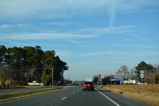
SR 642 (Parsons Circle) crosses U.S. 13 west 0.30 miles from SR 684 (Bayview Circle) / old SR 186 at Fairview.
12/14/17
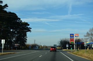
SR 642 continues west from U.S. 13 along Old Cape Charles Road 2.46 miles to SR 184 (Mason Avenue) in the town of Cape Charles.
12/14/17
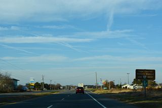
SR 184 (Stone Road) follows the historic alignment of U.S. 13 west onto Mason Avenue south of the Cape Charles Historic District.
12/14/17
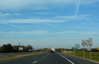
U.S. 13 Business extends north along S Bayside Road from U.S. 13 (Lankford Highway) and SR 184 (Stone Road) into the town of Cheriton.
12/14/17
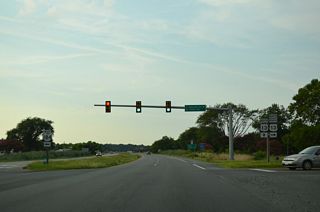
Removed shield assemblies on U.S. 13 (Lankford Highway) north at U.S. 13 Business/SR 184. SR 184 measures 3.20 miles in length west to Bay Avenue at Washington Avenue along Cherrystone Channel on Chesapeake Bay.
07/28/13
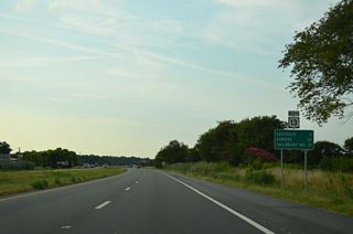
The town of Eastville, served by another business route for U.S. 13, lies six miles north from SR 184 (Stone Road).
07/28/13
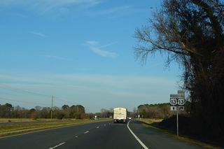
Concluding a 1.59 mile long loop, U.S. 13 Business returns from Cheriton along N Bayside Road.
12/14/17
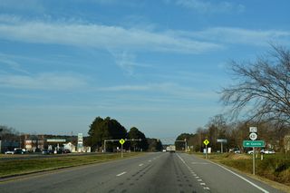
SR 631 (Willow Oak Road) is a 1.30 mile long route from U.S. 13 Business in Eastville to SR 600 (Seaside Road) beyond Eastville Station.
12/14/17
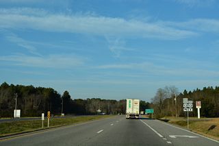
U.S. 13 Business (Courthouse Road) returns to U.S. 13 (Lankford Highway) east from James Crossroads at Kendall Grove.
12/14/17
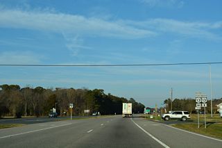
SR 630 extends east from U.S. 13/13 Business along Cherrydale Drive 1.21 miles to SR 600 (Seaside Road).
12/14/17
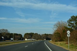
SR 628 (Bayside Road) spurs west onto Wilsonia Neck. SR 618 branches north from nearby along the former alignment of SR 184 to Johnsontown.
12/14/17
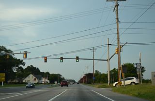
SR 606 (Rogers Drive) links U.S. 13 with SR 600 (Seaside road) 0.20 miles to the east and SR 618 (Bayside Road) at Middletown, 0.77 miles to the northwest.
07/28/13
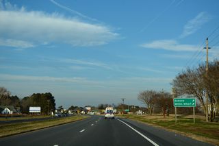
Willis Wharf is located along SR 603 (Willis Wharf Road) on Parting Creek southeast of Exmore.
12/14/17
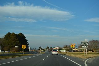
U.S. 13 Business through Exmore follows Main Street and Lincoln Avenue along a 2.14 mile long course.
12/14/17
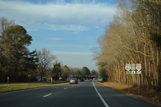
SR 183 (Occohannock Neck Road) spurs 7.45 miles west from U.S. 13 Business (Main Street) in Exmore to Wardtown and SR 613 at Jameville on Occohannock Neck.
12/14/17
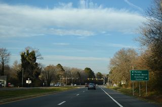
Silver Beach lies at the end of SR 613 (Occohannock Neck Road), 9.59 miles to the southwest along Chesapeake Bay.
12/14/17
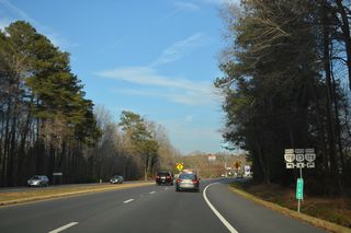
Main Street continues north from U.S. 13 Business (Lincoln Avenue) in Exmore along SR 178, 0.36 miles to U.S. 13 (Lankford Highway).
12/14/17
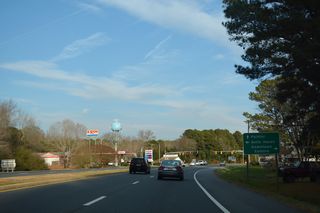
SR 178 (Belle Haven Road) continues 0.98 miles north from U.S. 13 to SR 181 (King Street) at Belle Haven.
12/14/17
 North
North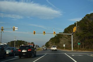
County Line Road ties into U.S. 13 (Lankford Highway) just north of the Northampton County line east from Merry Cat Lane and the town of Belle Haven.
12/14/17
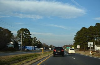
SR 181 is a major collector along King Street linking U.S. 13 with SR 178 (Belle Haven Road) 0.95 miles to the west.
12/14/17
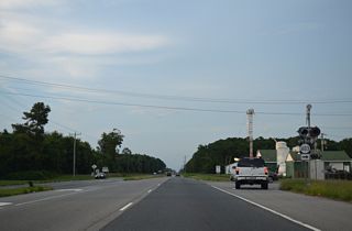
SR 603 (Savagetown Road runs east from U.S. 13 at Belle Haven Station to Savage Town and SR 600 (Seaside Road) near Cats Bridge.
07/28/13
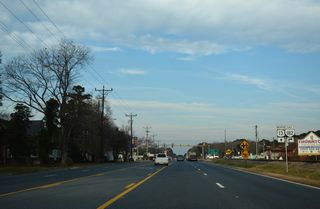
SR 182 comprises a 3.71 mile long spur east from U.S. 13 at Main Street in Painter to SR 605 (Bradfords Neck Road) at Quinby off Upshur Bay.
12/14/17
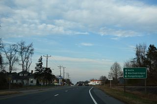
U.S. 13 meets SR 180 (N.R. North Street) 3.35 miles east of SR 178 (Bobtown Road) in Pungoteague.
12/14/17
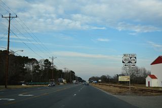
SR 180 travels 6.44 miles northwest from U.S. 13 at Keller to a boat ramp along Pungoteague Creek at Harborton.
12/14/17
 North
North 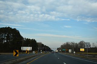
U.S. 13/SR 180 overlap 0.46 miles in Keller north from N.R. North Street to Wachapreague Road at Adams Crossing Road (SR 623).
12/14/17
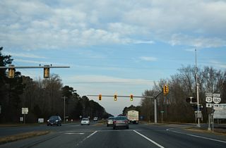
SR 180 lines Wachapreague Road east 4.35 miles to Atlantic Avenue in the town of Wachapreague.
12/14/17
 North
North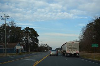
The town of Melfa lies east of Accomack County Airport (MFV) along U.S. 13 (Lankford Highway).
12/14/17
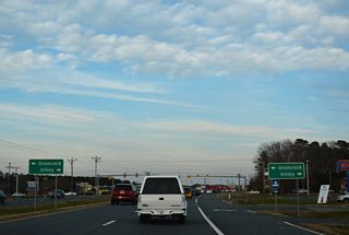
SR 179 originates in Onley, 0.50 miles to the south at U.S. 13 Business (Coastal Boulevard) and SR 789.
12/14/17
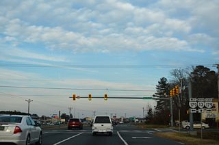
SR 179 continues west from U.S. 13 and Main Street along Market Street into the town of Onacock.
12/14/17
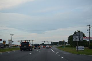
Overpass Drive links U.S. 13 with U.S. 13 Business beyond the signalized entrance to Chesapeake Square shopping center.
07/28/13
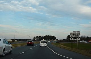
U.S. 13 Business (Coastal Boulevard) continues north below Lankford Highway to the community of Tasley.
12/14/17
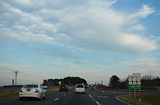
U.S. 13 Business (Coastal Boulevard) north connects with SR 126 (Fairgrounds Road) west and SR 316 (Greenbush Road) north in 0.67 miles.
12/14/17
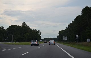
SR 657 (Edgar Thomas Road) provides a cutoff to U.S. 13 Business (Tasley Road) south back into Tasley.
07/28/13
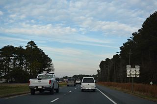
U.S. 13 Business (Tasley Road) crosses U.S. 13 east 1.05 miles from SR 126 (Fairgrounds Road) in Tasley.
12/14/17
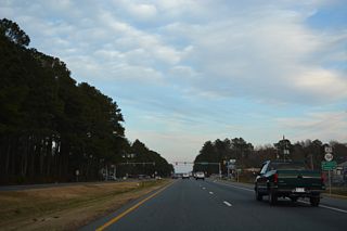
SR 764 (Courthouse Avenue) stems 0.48 miles north from U.S. 13 Business (Front Street) in Accomac to U.S. 13.
12/14/17
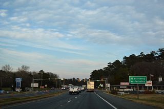
SR 176 runs 2.58 miles northwest to SR 316 (Cossatt Avenue) and SR 673 (Bennett Street) in the town of Parksley.
12/14/17
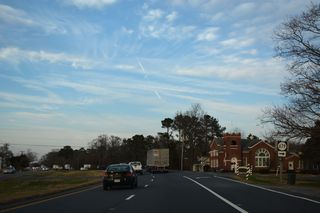
SR 679 parallels U.S. 13 northeast 23.26 miles to MD 12 and the Maryland state line beyond Horntown.
12/14/17
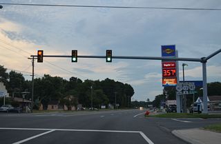
SR 187 west along Shoreman Drive 2.19 miles to SR 316 (Bayside Drive) in the town of Bloxom and 3.70 miles to SR 658 (Big Road).
07/28/13
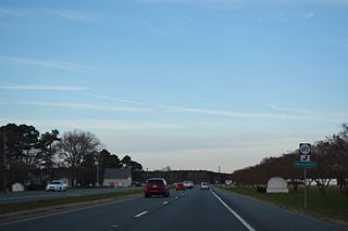
SR 692 meanders 8.21 miles west from U.S. 13 (Lankford Highway) to Hallwood, Poulson, Messongo, Belinda and SR 695 (Saxis Road).
12/14/17
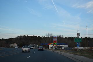
SR 695 follows Saxis Road west 8.07 miles from Temperanceville to SR 692 (Belinda Road) and 12.42 miles to the town of Saxis off Pocomoke Sound.
12/14/17
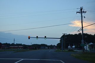
SR 702 (Horsey Road) heads west to nearby Horsey and east along Nocks Landing Road 3.00 miles to SR 679 (Atlantic Road) at Atlantic.
07/28/13
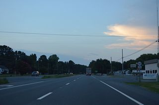
SR 703 (Paige Fisher Road) provides a cutoff from U.S. 13 south to SR 702 (Nocks Landing Road).
07/28/13

U.S. 13 (Lankford Highway) enters a commercialized stretch ahead of SR 175 (Chincoteague Road) east to the NASA Wallops Flight Facility.
07/28/13
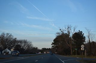
SR 709 (Horntown Road) weaves across timberland and agricultural areas 3.99 miles east from U.S. 13 at New Church to SR 679 (Fleming Road) at Horntown.
12/14/17
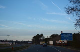
U.S. 13 shifts northwest from SR 710 (Davis Road) a half mile from the New Church Safety Rest Area.
12/14/17
- Kozel, Scott.
- Froehlig, Adam
Connect with:
Interstate 64
Interstate 264
Interstate 464
Interstate 664
U.S. 17
U.S. 58
U.S. 60
U.S. 460
State Route 168 - Chesapeake Expressway
Page Updated 04-19-2021.


