


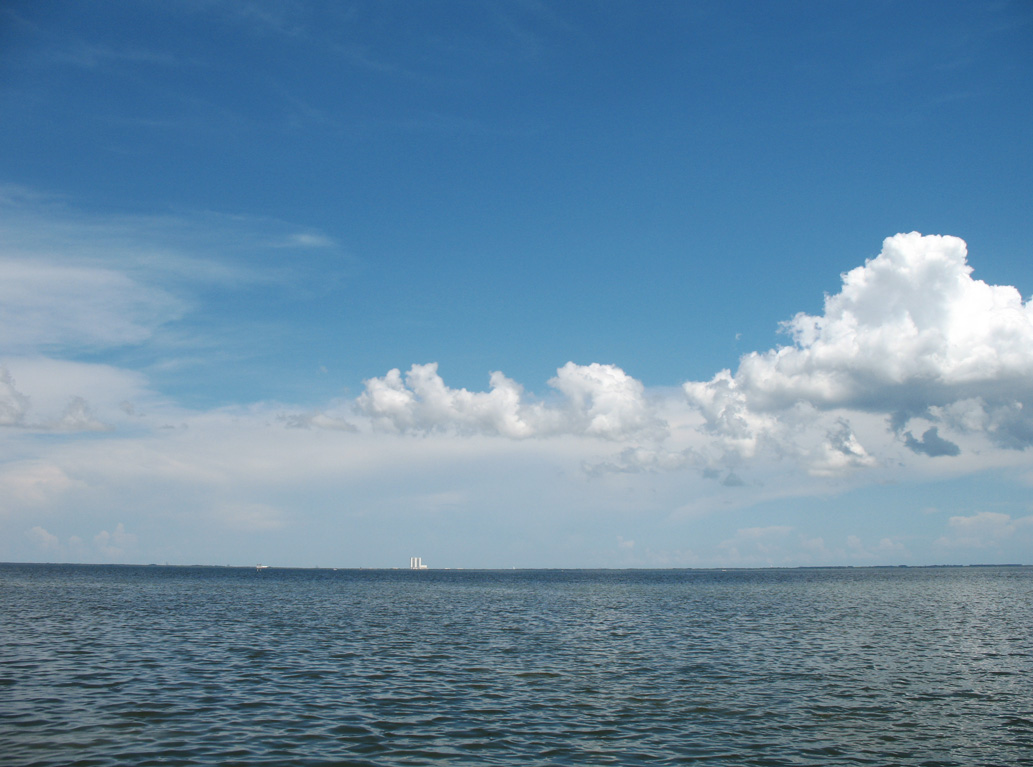
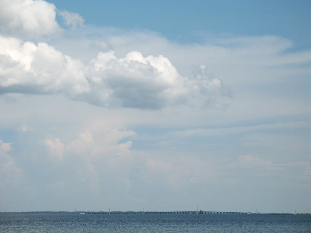
Rotary Riverfront Park in Titusville, where a new pier was constructed by 2021, lies west across the Indian River from Banana Creek and the Vehicle Assembly Building (VAB) at Kennedy Space Center. Visible to the southeast from the park, NASA Causeway (CR 405) spans the Indian River east onto Merritt Island over a draw bridge. Rotary Riverfront Park lies along a commercial strip on U.S. 1 (Washington Avenue) at Delespine Avenue. 08/24/07
 North
North
U.S. 1 (Cocoa Boulevard) enters the city of Cocoa north ahead of Rosa Jones Drive.
10/01/15

SR 520 (King Street) meets U.S. 1 (Cocoa Boulevard) west of the Cocoa business district and Hubert Humphrey Bridge spanning the Indian River.
10/01/15

SR 520 heads west to West Cocoa and north toward Orlando at SR 50 and Bithlo.
10/01/15

10/01/15

SR 520 connects Cocoa with Merritt Island en route to SR A1A at Cocoa Beach.
10/01/15

10/01/15

10/01/15

10/01/15

U.S. 1 (Cocoa Boulevard) converges Forest Avenue north through an S-curve.
10/01/15

Dixon Boulevard 1.16 miles west from U.S. 1 (Cocoa Boulevard) to Clearlake Road (CR 501) is CR 503. The county road is only acknowledged at the east end along U.S. 1.
10/01/15

10/01/15

SR 528 (Beachline Expressway) and SR A1A meet U.S. 1 (Cocoa Boulevard) at a folded diamond interchange adjacent to the Florida East Coast (FEC) Railway.
10/01/15

SR 528 is the Martin Anderson Beachline Expressway, a limited access toll road joining the Space Coast with Orlando.
10/01/15

10/21/18

10/21/18

Canaveral Groves Boulevard east and Blacks Road west come together at U.S. 1 (Cocoa Boulevard) in the unincorporated community of Sharpes.
10/21/18

Sharpes is a census designated place with a population over 3,000.
10/21/18

The James Jay Clark Overpass spans U.S. 1 (Cocoa Boulevard) by Fairglen Elementary School.
10/21/18

10/21/18

Camp Road stems west from U.S. 1 to Grissom Parkway.
10/21/18

10/21/18

10/21/18

U.S. 1 enters Port St. John at Cottrell Avenue just ahead of the FPL Cape Canaveral Power Plant.
10/21/18

The continuous green at the entrance to Port St. John Plaza is one of the few remaining along U.S. 1.
10/21/18

10/21/18

10/21/18

10/21/18

Another continuous green signal operates along U.S. 1 northbound at Kings Highway west.
10/21/18

Shifting west from Kings Highway, U.S. 1 enters the city of Titusville.
10/21/18

Bellwood lies along U.S. 1 just outside the Titusville city limits.
10/21/18

Golden Knights Boulevard stems west from U.S. 1 to Space Coast Regional Airport (TIX).
10/21/18

Advancing north, U.S. 1 (Washington Avenue) converges with SR 405 (Columbia Boulevard) at a cloverleaf interchange.
10/21/18

SR 405 east transitions into Nasa Causeway (unsigned CR 405) across the Indian River to Kennedy Space Center.
10/21/18

Connecting with SR 50 (Cheney Highway) west to Orlando, SR 405 encircles Titusville to the west.
10/21/18

SR 405 returns to U.S. 1 north ahead of Downtown Titusville.
10/21/18

10/21/18

10/21/18

10/21/18

Construction started in 2022 for the Riverwalk Apartments, a 210 unit complex on 21.30 acres, cleared out the trees along the east side of U.S. 1 by this reassurance marker.
10/21/18

SR 50 east concludes at U.S. 1 (Washington Avenue) by Kennedy Point Park along the Indian River.
10/21/18

SR 50 crosses the Florida Peninsula west from Titusville to Orlando, Clermont and Brooksville.
05/27/20

SR 50 (Cheney Highway) heads 3.3 miles west from U.S. 1 to Interstate 95 at Exit 215.
10/21/18

State Road 50 runs 114 miles west from U.S. 1 on the Space Coast to U.S. 19 at Weeki Wachee on the Nature Coast.
05/27/20

10/21/18

10/21/18

09/28/13

The traffic light at Knox McRae Drive west formerly included a continuous green for U.S. 1 northbound. This was eliminated in Fall 2013.
09/28/13

Knox McRae Drive ties into U.S. 1 (Washington Avenue) by Kirk Point Park.
10/21/18

09/28/13

The continuous green signal along northbound U.S. 1 at Country Club Drive was eliminated.
09/28/13

09/28/13

09/28/13

U.S. 1 shifts away from the west banks of the Indian River at Riverside Drive.
09/28/13

09/28/13

U.S. 1 (Washington Avenue) northbound partitions with the southbound roadway at Grace Street.
09/28/13

Reassurance marker posted along Washington Avenue north by Brevard Street. Southbound U.S. 1 follows Hopkins Avenue one block to the west.
09/28/13

SR 405 follows South Street west from U.S. 1 by the Brevard County Courthouse.
09/28/13

U.S. 1 north of Julia Street in Downtown Titusville. A road diet implemented along Washington Avenue by 2011 removed on street parking.
08/25/07

09/12/22

09/12/22

09/12/22

09/12/22

09/12/22

The couplet along U.S. 1 (Washington Avenue) concludes north of SR 406 (Garden Street) by Sand Point Park.
10/14/17

U.S. 1 (Washington Avenue) curves northwest ahead of Norwood Avenue, the 1930s alignment of the route south to Garden Street.
10/14/17

10/14/17

10/14/17


Photo Credits:
- 08/25/07 by AARoads.
- 09/28/13 by AARoads.
- 10/01/15 by AARoads and JP Nasiatka.
- 10/14/17 by AARoads.
- 10/21/18 by AARoads.
- 05/27/20 by AARoads.
- 09/12/22 by AARoads.
Connect with:
State Road A1A
State Road 50
State Road 405 - Columbia Blvd / South St
State Road 406 - Garden Street
State Road 520
State Road 528 - Martin Andersen Beachline Expressway
Page Updated 09-23-2022.