
 North
North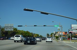
U.S. 1 (Dixie Highway) intersects SW 67th Avenue / Ludlam Road just beyond the east end of the Snapper Creek Expressway (SR 878).
04/04/15
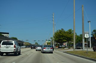
Within the city of South Miami, U.S. 1 was designated as the "South Miami All-American Parkway" by the Florida Legislature in 2003.
04/04/15

SR 986 formerly extended east to U.S. 1 (Dixie Highway) in South Miami. The state road was truncated west along SW 72nd Street to SW 69th Avenue and the city line.
04/04/15
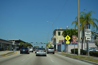
SR 986 remains along SW 72nd Street west 4.89 miles from South Miami to Florida's Turnpike Homestead Extension by Kendale Lakes.
04/04/15
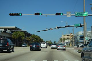
South Miami City Hall lies at the corner of SW 72nd Street and SW 59th Place to the immediate west. SR 986 formerly continued east four blocks to SW 57th Avenue, which was SR 959.
04/04/15
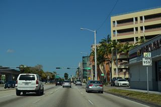
SR 959 commences north along SW 57th Street from U.S. 1 (Dixie Highway) at the third traffic light beyond this junction shield.
04/04/15
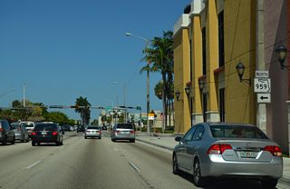
SR 959 (SW 57th Avenue / Red Road) heads 5.38 miles north along the Coral Gables city line to West Miami, and into Miami's Flagami neighborhood ahead of SR 836 (Dolphin Expressway) by Miami International Airport (MIA).
04/04/15
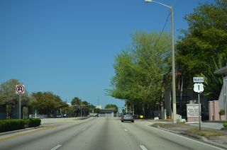
U.S. 1 spans Coral Gables Canal across a bridge built in 1957 beyond this reassurance marker.
04/04/15
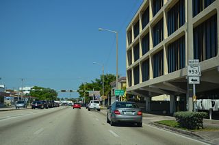
SW 42nd Avenue / Le Jeune Road through east Coral Gables is part of SR 953 north to Little Gables, West Flagler in Miami and Miami International Airport (MIA).
04/04/15
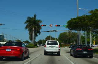
Grand Avenue intersects U.S. 1 (Dixie Highway) at the succeeding signal north of SR 953 (Le Jeune Road).
04/04/15
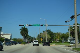
Ponce de Leon Boulevard extends north from U.S. 1 at Jefferson Street and Oak Avenue to the Shops at Merrick Park retail center and northern reaches of Coral Gable.
04/04/15
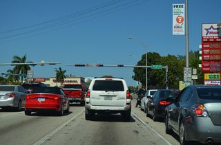
SW 37th Avenue / Douglas Road connects U.S. 1 northbound with SR 976 west along SW 40th Street / Bird Road.
04/04/15
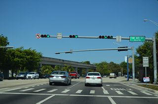
Left turns are prohibited from U.S. 1 north onto SR 976 west at SW 40th Street. SR 976 leads 8.47 miles west to Florida's Turnpike Homestead Extension at Exit 23.
04/04/15
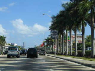
U.S. 1 (Dixie Highway) meets the south end of SR 9 (SW 27th Avenue) by Ocean View Heights in Miami. 13.69 miles in length, SR 9 is an urban route to Opa Locka and the Golden Glades Interchange joining I-95, Florida's Turnpike (SR 91), U.S. 441 and SR 826 (Palmetto Expressway) in Miami Gardens.
12/29/03
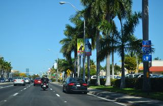
The advance shield for SR 9 (SW 27th Avenue) on U.S. 1 north was replaced with an Interstate 95 trailblazer by 2008.
04/04/15
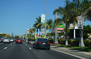
The importance of SR 9 is belied by this seemingly innocuous intersection on U.S. 1. Beyond Miami Gardens, SR 9 is the hidden counterpart for Interstate 95 north to the Georgia border.
04/04/15
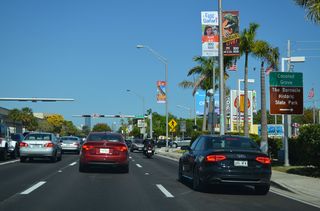
The Coconut Grove business district is south of U.S. 1 (Dixie Highway) off Biscayne Bay along SW 27th Avenue.
04/04/15
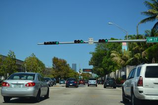
SW 17th Avenue heads north into the Little Havana community of Miami at the intersections with U.S. 41 (Tamiami Trail) along the couplet of 7th/8th Streets. 17th Avenue continues north over the Miami River to reach the Allapatlah neighborhood.
04/04/15
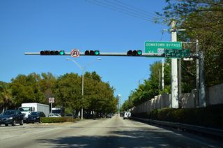
Replaced with a ground level sign by 2021, the first sign acknowledging the northbound beginning of Interstate 95 on U.S. 1 (Dixie Highway) appears at SW 16th Avenue.
03/04/14
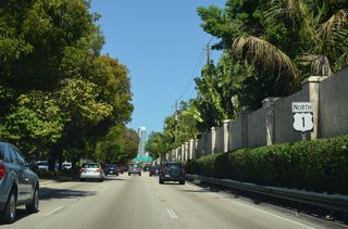
A tree lined, controlled access boulevard leads U.S. 1 east from SW 16th Avenue to the wye interchange where Interstate 95 begins and Brickell Avenue branches east.
04/04/15
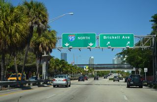
Although not acknowledged on overheads, U.S. 1 combines with I-95 north for 1.95 miles to SR 970 (Downtown Distributor). The route was relocated when Brickell Avenue was turned over to local maintenance. I-95 travels north to Fort Lauderdale and West Palm Beach.
04/04/15
Dixie Highway / Brickell Avenue - Old  North
North
 North
North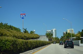
The first confirming marker for Interstate 95 stands adjacent to Dixie Highway (old U.S. 1) by the intersection with SW 31st Street.
04/04/15
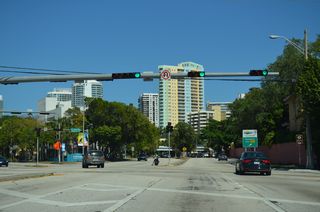
Dixie Highway north becomes Brickell Avenue at the signalized intersection with S Miami Avenue>
04/04/15
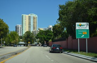
Brickell Avenue (old U.S. 1) meets Rickenbacker Causeway (unsigned SR 913) at the ensuing intersection beyond S Miami Avenue.
04/04/15
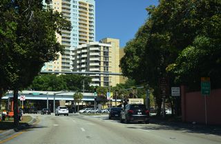
Rickenbacker Causeway is a tolled crossing of Biscayne Bay running southeast from Brickell Avenue by Alice C. Wainright Park onto Virginia Key. The Bear Cut Bridge connects the causeway with Key Biscayne.
04/04/15
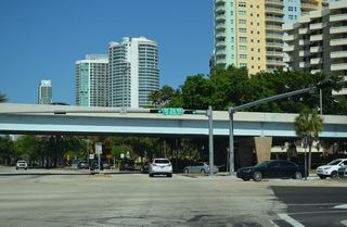
A flyover joins Rickenbacker Causeway north with I-95/U.S. 1 north and U.S. 1 south. SE 26th Road is part of unsigned SR 913 north to SW 1sth Avenue adjacent to Interstate 95.
04/04/15
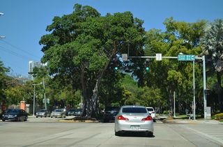
Traffic lights operate along Brickell Avenue (old U.S. 1) at the entrance for the Brickell Townhouse and Brickell Bay Club condominium towers.
04/04/15
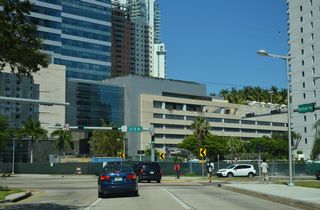
S15th Road angles northwest from Brickell Avenue (old U.S. 1) past Simpson Park to SW 11th Street and the East Little Havana neighborhood.
04/04/15
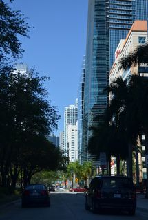
Matching the nearby west shore of Biscayne Bay, Brickell Avenue turns more toward the north beyond SE 15th Road.
04/04/15
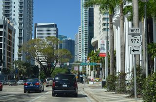
Wholly within Miami, SR 972 follows a 4.16 mile long course through The Roads and Coral Way neighborhoods to the Coral Gables city line at SW 37th Avenue.
04/04/15
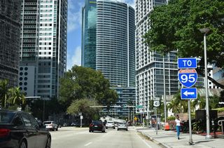
U.S. 41 (Tamiami Trail) follows the couplet of SE/SW 7th Street west and SE/SW 8th Street between Little Havana and Brickell in Miami. U.S. 41 connects with I-95 at SW 3rd/4th Avenues.
03/21/20
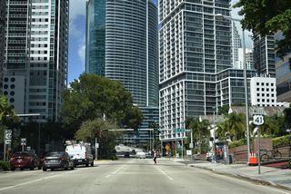
The left arrow for U.S. 41 at SE 7th Street has been missing since 2018. U.S. 41 travels west from Miami across the Florida Everglades to Naples. The highway turns north along the I-75 corridor to Tampa.
03/21/20

Northbound U.S. 41 lines SE/SW 7th Street 3.00 miles west to join SW 8th Street via Beacom Boulevard.
03/21/20
Photo Credits:
- 12/29/03 by AARoads and Justin Cozart.
- 03/04/14 by AARoads and .
- 04/04/15 by AARoads.
- 03/21/20 by AARoads.
Connect with:
Interstate 95
State Road 913 - Rickenbacker Causeway
Page Updated 08-15-2024.


