 North
North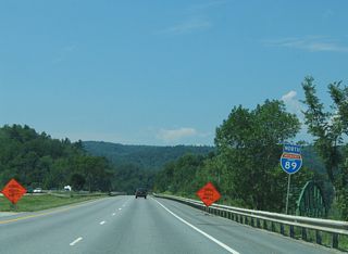
Interstate 89 crosses the Winooski River adjacent to a through truss bridge along U.S. 2 (W Main Street).
07/24/05
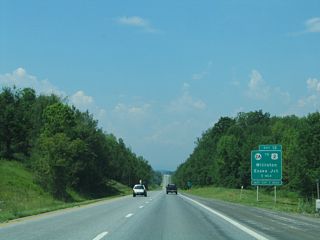
Had VT 289 (Chittenden Circumferential Highway) been completed, the freeway bypass of Burlington would have tied into I-89 at a trumpet interchange just east of Exit 12 / Milepoint Exit 83 with VT 2A (St. George Road).
07/24/05
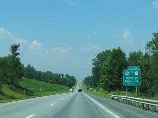
VT 2A branches north from VT 116 in the town of St. George along a 13.85 mile course through Williston, the city of Essex Junction and U.S. 2/7 (Roosevelt Highway) at Colchester.
07/24/05
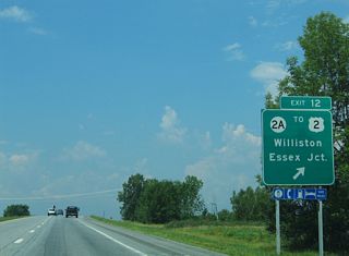
The diamond interchange (Exit 12) joining VT 2A (St. George Road) with I-89 lies south of a heavily developed commercial strip.
07/24/05
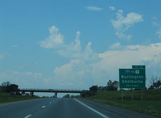
Continuing west into the city of South Burlington, I-89 meets Interstate 189 at a trumpet interchange (Exit 13 / Milepoint Exit 87).
07/24/05
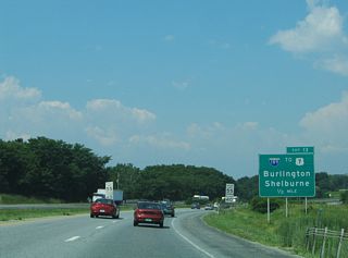
Interstate 189 constitutes a 1.49 mile long spur west from Kennedy Drive and I-89 to U.S. 7 (Shelburne Road) south of the Burlington city line.
07/24/05
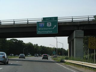
U.S. 7 travels south from I-189 to Shelburne and north into Burlington along Shelburne Street.
08/01/07
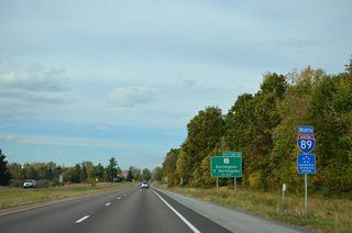
Heading north from I-189, Interstate 89 parallels the commercialized corridor along Dorset Street to University Mall and Exits 14 E/W / Milepoint Exit 88 to U.S. 2 (Williston Road).
10/07/14
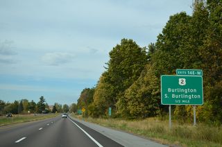
U.S. 2 (Williston Road) travels west through South Burlington from Williston to meet Interstate 89 at a cloverleaf interchange (Exits 14 E/W) in a half mile.
10/07/14
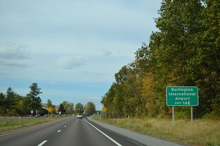
The passenger terminal of Burlington International Airport (BTV) is 1.75 miles from Exit 14 E via U.S. 2 (Williston Road) east and Airport Drive north.
10/07/14
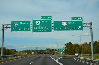
Exit 14 E departs Interstate 89 north for U.S. 2 (Williston Road) east at Dorset Street south to the adjacent mall. U.S. 2 constitutes a busy commercial arterial east to VT 116 (Hinesburg Road) south and the airport.
10/07/14
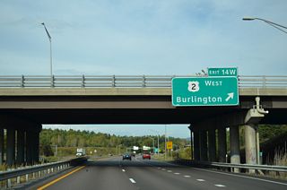
Exit 14 W joins U.S. 2 west to the University of Vermont campus, Champlain College and Downtown Burlington. U.S. 2 follows Main Street to Willard Street, where it joins U.S. 7 north to Winooski. Exit 14 W also serves the Burlington-Port Kent Ferry across Lake Champlain and Burlington College via North Avenue.
10/07/14
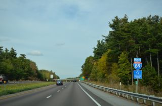
Interstate 89 stays east of the Burlington city limits, coming close to the eastern corner at the forthcoming Winooski River. Patchen Road from South Burlington spans the freeway ahead to become Grove Street.
10/07/14
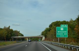
A half diamond interchange (Exit 15 / Milepoint Exit 90) with VT 15 (Allen Street / College Parkway) is the first of two for the city of Winooski from Interstate 89 north.
10/07/14
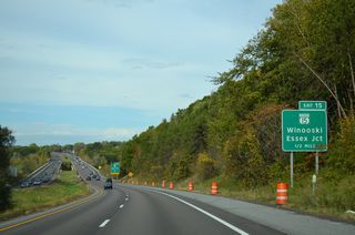
Lowering to cross the Winooski River, Interstate 89 advances a half mile north to Exit 15 to VT 15. VT 15 originates in Downtown Winooski at a traffic rotary with U.S. 2/7 (Main Street).
10/07/14
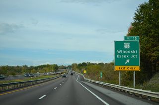
A 68.97 mile long route, VT 15 heads east from Winooski to Essex Junction and Jericho before entering the Green Mountains region en route to Morrisville, Hardwick and U.S. 2 in Danville.
10/07/14
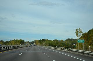
The Winooski River bridges accommodate six overall lanes of traffic. The 90 mile long waterway drains an area of the northern Green Mountains from Washington County to Montpelier and Richmond to Lake Champlain in northwest Burlington.
10/07/14
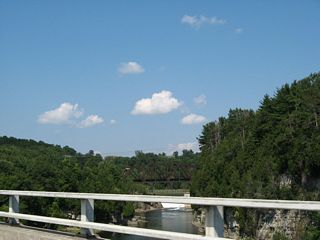
A truss bridge carries a Vermont Railway line across the Winooski River to the immediate east of Interstate 89.
07/31/07
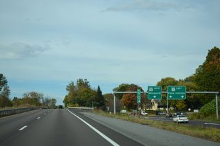
Exit 15 was previously expanded with two right turn lanes and a single left lane. VT 15 takes Allen Street west 0.7 miles to U.S. 2/7 (Main Street) while leading east four miles along College Parkway through the St. Michael's College campus to Pearl Street and Downtown Essex Junction.
10/07/14
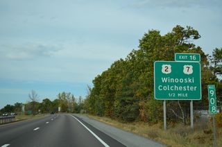
Interstate 89 curves northwest ahead of a diamond interchange (Exit 16 / Milepoint Exit 91) with U.S. 2/7 (Theodore Roosevelt Highway). Construction from Fall 2024 to Summer 2026 converts Exit 16 into a DDI.
10/07/14
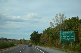
U.S. 2/7 vacate the city of Winooski just south of Exit 16 and continue north through the town of Colchester to intersect both Blakely Road (VT 127) and Bay Road west to Malletts Bay on Lake Champlain.
10/07/14
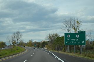
Exit 16 departs I-89 north for U.S. 2/7 (Theodore Roosevelt Highway) south back into Winooski and north to the Colchester town center (via VT 2A). U.S. 2/7 overlap for 9.56 miles between Burlington and Chimney Corner in north Colchester.
10/07/14
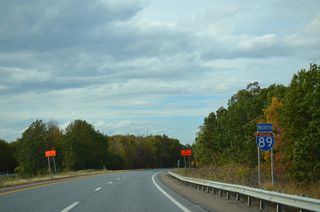
Interstate 89 becomes more rural as the route turns northward toward Malletts Bay through Colchester.
10/07/14
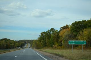
Leading away from Burlington, Interstate 89 reaches the city of St. Albans in 24 miles. U.S. 2 connects the freeway with the Lake Champlain Islands via the ensuing exit.
10/07/14
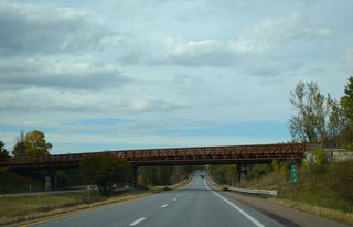
VT 127 (Blakely Road) spans I-89 west from U.S. 2/7 to Malletts Bay. There is no direct access to the 9.37 mile long state route that loops west to the North End of Burlington. VT 127 was originally proposed to be a part of the Burlington Belt Line, an expressway running southward through Burlington.
10/07/14
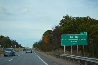
Rising from a marshy area fed by Allen Brook, Interstate 89 advances one mile north to Exit 17 / Milepoint Exit 97 with U.S. 2 just west of the north split with U.S. 7.
10/07/14
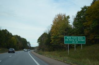
U.S. 2 leaves Vermont across the Rouses Point Bridge into Upstate New York. U.S. 2 route connects with VT 314 at Keeler Bay in 11 miles. VT 314 comprises a loop west to the landing of the Grand Isle, VT - Plattsburgh, NY Ferry.
10/07/14
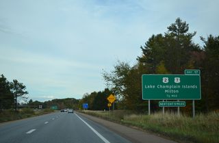
U.S. 2 travels west from U.S. 7 across the Sand Bar Bridge onto South Hero Island. The US highway meanders northward to North Hero Island and Alburg Tongue between the expansive waters of Lake Champlain.
10/07/14
Photo Credits:
07/24/05, 07/31/07, 08/01/07, 10/07/14 by AARoads
Connect with:
Interstate 189
Page Updated 03-16-2023.


