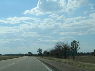
The succeeding exit west of Ogallala along Interstate 80 is for the village of Brule. Sidney is 66 miles away.
09/05/05
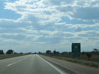
L-51A stems 1.09 miles north from adjacent Road West 60 to U.S. 30 (Lincoln Highway) at State Street in Brule.
09/05/05
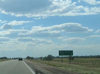
Denver, Colorado appears on the ensuing distance sign for Interstate 76 southwest from Exit 102.
09/05/05
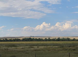
The hills west of Brule Canyon and north of U.S. 30 top out around 3,600 feet above sea level.
09/05/05
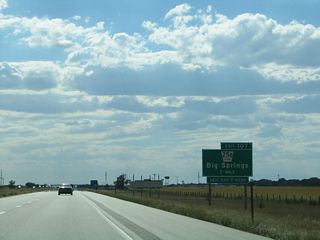
Link 25B spurs 1.10 miles north from the diamond interchange at Exit 107 to U.S. 138 and Pine Street in the Big Springs business district.
09/05/05
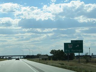
U.S. 138 connects L-25B (Pine Street) and Big Springs with U.S. 30 (Lincoln Highway) to the north. U.S. 138 parallels the South Platte River west to I-80 at Exit 101.
09/05/05
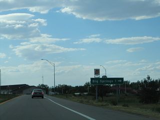
The village of Big Springs was founded in 1884 and incorporated in 1917. The community is located along the "Colorado Loop" of the historic Lincoln Highway.
09/05/05
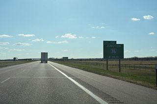
Road work underway from Fall 2019 to Fall 2021 rebuilt the trumpet interchange (Exit 102) joining I-80 with the east end of Interstate 76. The left exit ramp for I-76 was replaced with a high speed ramp departing from the outside lanes of I-80, one mile east of the original gore point.
04/22/17

A replacement of the distance sign preceding the Road 203 over crossing revised the mileage to Denver from 189 to 190.
04/22/17

NDOT signs the 2.91 mile long section of I-76 in Nebraska as south instead of west. Following the South Platte River, I-76 travels southwest to Fort Morgan, Greeley and Denver, Colorado.
04/22/17
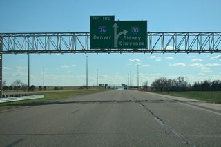
Prior to 1976, I-76 in Nebraska and Colorado was designated Interstate 80S. The route was renumbered as part of a larger effort to eliminate suffixed Interstate Highways.
04/22/17
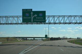
Interstate 76 parallels U.S. 138 southwest from Exit 102 to Sterling, then follows U.S. 6 to Brush, Fort Morgan and the Denver metropolitan area. I-76 west to U.S. 34 leads to Greeley and Loveland, Colorado.
04/22/17
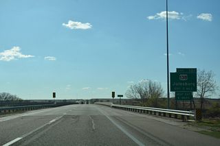
I-80 next meets U.S. 138 at Exit 101. U.S. 138 is a remaining branch of U.S. 38, which was renumbered as part of an extension of U.S. 6 in 1931.
04/22/17
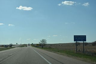
The folded diamond interchange at Exit 101 includes a truck parking area on the south side of I-80 along U.S. 138.
04/22/17
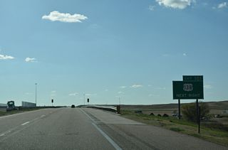
U.S. 138 travels 71.29 miles overall southwest to U.S. 6 at Sterling, Colorado and northeast to U.S. 30 beyond Big Springs.
04/22/17
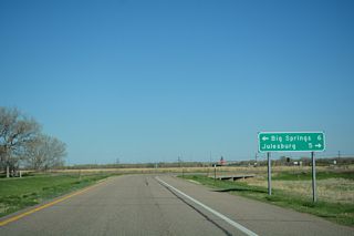
U.S. 138 provides local access to the various towns located just north of the South Platte River in Colorado, including Julesburg, Ovid, Sedgwick, Crook, and Iliff.
04/22/17
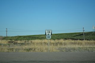
An erroneous N-138 shield was posted in place of U.S. 138 at the end of the ramp at Exit 101. U.S. 138 parallels a Union Pacific Railroad line southwest from Big Springs.
04/22/17
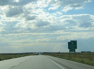
Exit 95 joins I-80 west with the middle segment of N-27 north to Oshkosh and Road 185 south to Colorado State Highway 11 and Julesburg.
09/05/05
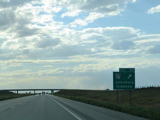
N-27 combines with U.S. 30 west, 3.38 miles north of Exit 95, and meets U.S. 26/N-92 at Oshkosh in 27.11 miles. The northern section of N-27 runs from N-2 at Ellsworth to SD 391 north of Gordon. The southern section is a short link from U.S. 34 in Haigler to K-27.
09/05/05
The previous safety rest area located near milepost 86 was converted to a truck parking area by 2011 and subsequently closed and removed by 2013.
09/05/05
Interstate 80 span U.S. 385 and the Union Pacific Railroad just ahead of the former rest area.
09/05/05
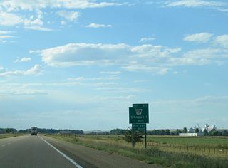
The diamond interchange at Exit 85 joins I-80 with L-25A north to U.S. 385 and Babcock Avenue in the city of Chappell. There is no direct connection between I-80 and U.S. 385; The 0.63 mile long Link highway is the closest access point.
09/05/05
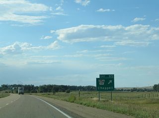
Exit 85 departs I-80 west for L-25A north to U.S. 385. U.S. 385 angles northwest from U.S. 138 near Julesburg, Colorado to Chappell. West from the city, U.S. 30 combines with U.S. 385 to Sidney.
09/05/05

Chappell is the seat of Deuel County. 440 square miles in area, Deuel County is home to less than 2,000.
09/05/05
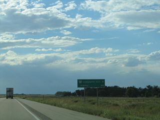
Located eight miles ahead, the succeeding exit along I-80 west is for L-17F to Lodgepole, a small village to the north along U.S. 30/385 (Sheldon Street).
09/05/05
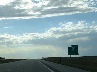
Lodgepole was founded in 1867 and incorporated in 1901. The village is named after Lodgepole Creek, which follows Interstate 80 and U.S. 30 through Kimball and Cheyenne Counties.
09/05/05
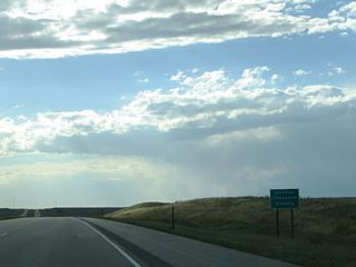
Interstate 80 proceeds west into Cheyenne County. Cheyenne County used to encompass all or parts of some neighboring counties, including Kimball County to the west and Banner County to the northwest.
09/05/05
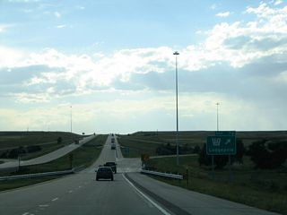
Link 17F extends 2.31 miles north from Road 149 and the diamond interchange at Exit 76 to U.S. 30/385 on the east side of Lodgepole.
09/05/05
Exit 69 joins I-80 west with Link 17E north to Sunol. Like many others in the Nebraska Panhandle, the unincorporated community owes its existence to the railroad and agriculture.
09/05/05
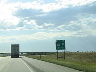
L-17E constitutes a 3.05 mile long route north from Road 135 and I-80 to U.S. 30/385 at Dickinson Street in Sunol.
09/05/05
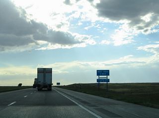
The first rest area along Interstate 80 west since mile marker 132.5 precedes mile marker 61 and Exit 59 to Sidney.
09/05/05
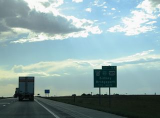
Link 17J (Upland Parkway) stems 2.43 miles north from Road 115 and the diamond interchange at Exit 59 to U.S. 30 (Illinois Street) in Sidney.
09/05/05
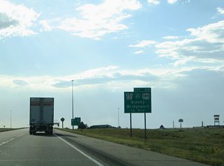
Decommissioned by 2009, Business Loop I-80 to Sidney accompanied L-17J north, U.S. 30 west and N-19 south back to I-80 at Exit 55.
09/05/05
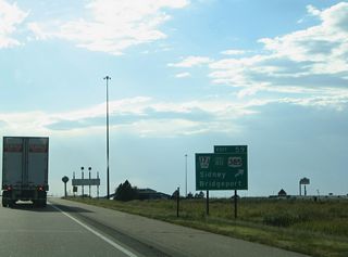
L-17J (Upland Parkway) is a four lane highway leading north to U.S. 30 just ahead of U.S. 385. U.S. 385 travels from Sidney to Bridgeport.
09/05/05
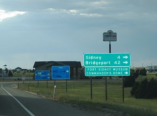
The Corporate Offices for Cabela's lies just west of L-17J along Old Post Road. Downtown Sidney is four miles to the northwest along U.S. 30 (Illinois Street).
09/05/05
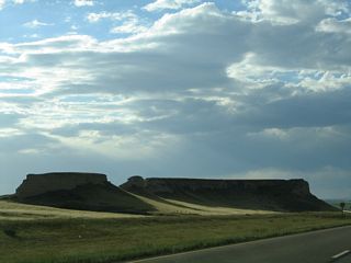
A BNSF Railroad line cuts across the adjacent escarpment leading south to eventually parallel N-19.
09/05/05
Photo Credits:
09/05/05, 04/22/17 by AARoads
Connect with:
Interstate 76
U.S. 138
Highway 19
Page Updated 03-04-2024.


