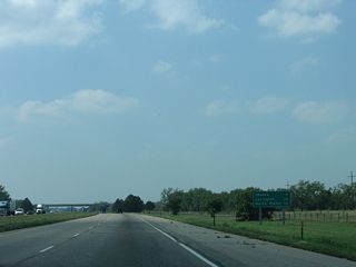
The succeeding exit west of Kearney connects Interstate 80 with the census designated place of Odessa along parallel U.S. 30. Lexington is 38 miles away at U.S. 283.
09/05/05
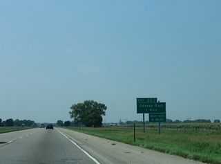
The diamond interchange at Exit 263 is with the south end of Link 10B. Sign replacements made by 2007 show the state highway.
09/05/05
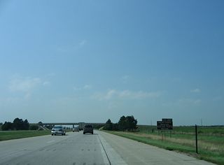
U.S. 183 travels south from forthcoming Exit 257 to the city of Alma along Harlan County Lake.
09/05/05
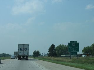
U.S. 183 travels south from Exit 257 to the Phelps County seat of Holdrege and north 2.3 miles into the village of Elm Creek.
09/05/05
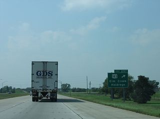
Nationally U.S. 183 originates from U.S. 77 at Refugio, Texas and concludes at Interstate 90 in Presho, South Dakota.
09/05/05
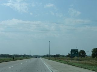
L-24B measures 3.88 miles in length from Road 444 and the diamond interchange at Exit 248 north to a grade separated intersection with U.S. 30.
09/05/05
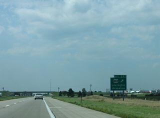
The north end of U.S. 283 connects with U.S. 30 (Pacific Street) via Grand and Jefferson Streets in Downtown Lexington. South of Exit 237, U.S. 283 travels to the Furnas County seat of Arapahoe and I-70 at WaKeeney, Kansas.
09/05/05
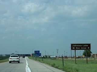
Johnson Lake Recreation Area lies eight miles south of Exit 237 along U.S. 283 in Gosper County.
09/05/05

Link 24A south and Road 755 east come together at a diamond interchange (Exit 231) with Interstate 80 west in one mile.
09/05/05
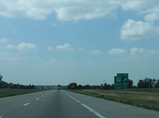
L-24A heads 1.80 miles north to U.S. 30, 2.2 miles east of the unincorporated community of Darr.
09/05/05
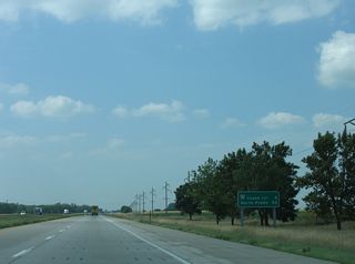
N-21 overlaps with U.S. 30 west 13.46 miles from Lexington to the city of Cozad. The state highway branches south from Downtown Cozad to meet Interstate 80 at Exit 222 in eight miles.
09/05/05
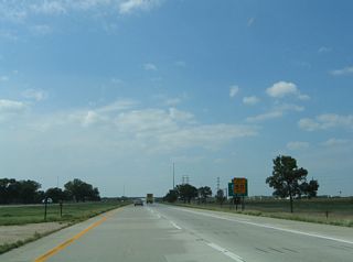
Since relocated to the off-ramp, the suggested speed sign for Exit 222 was prematurely posted, obscuring the guide sign for N-21 to Cozad.
09/05/05
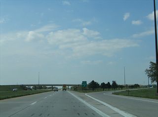
N-21 travels 14.05 miles south from U.S. 30 in Cozad to N-23 near Eustis in Frontier County.
09/05/05
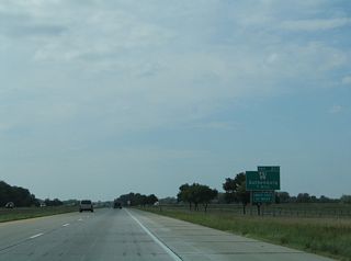
Interstate 80 proceeds west across Willow Island between the Platte River North Channel and main channel to the diamond interchange (Exit 211) with N-47 at Gothenburg.
09/05/05
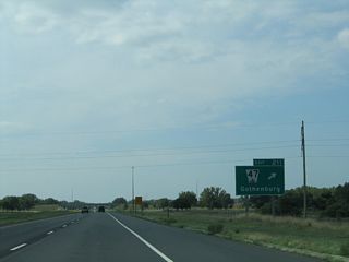
The northern branch of N-47 stretches 39.69 miles north from N-23 near Farnam to N-92 at Arnold.
09/05/05
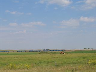
The Union Pacific Railroad line runs alongside U.S. 30 (Lincoln Highway) west from Gothenburg to the siding of Vroman.
09/05/05
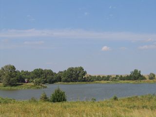
A pair of lakes line the north side of Interstate 80 ahead of the bridge spanning the Platte River west onto Brady Island.
09/05/05
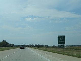
Link 56D runs 2.27 miles north from Banner Road and I-80 at Exit 199 to U.S. 30 (Lincoln Highway) in the village of Brady.
09/05/05
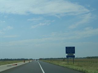
The Brady Rest Area along I-80 westbound is located at mile marker 194 adjacent to the Platte River.
09/05/05
Photo Credits:
09/05/05 by AARoads
Connect with:
Page Updated 03-04-2024.


