
 West
West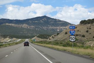
Mount Alice (el. 8,343 feet) appears west of Fremont Junction and south of the ensuing stretch along Interstate 70.
08/17/13
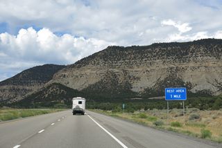
Continuing beyond Fremont Junction, a diamond interchange (Exit 86) links I-70/U.S. 50 with SR 76 east to the Ivie Creek Rest Area and Old Highway 10 west.
08/17/13
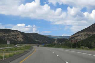
Interstate 70 enters Fishlake National Forest for the first time ahead of Exit 86. National Forest Land stretches west along the freeway to Exit 56, and then again between Exits 23 and 1.
08/17/13
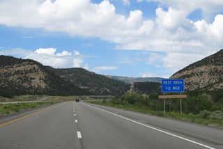
Omitted from signs along Interstate 70, SR 76 comprises a 2.43 mile long frontage road leading east to SR 72 at Fremont Junction.
08/17/13
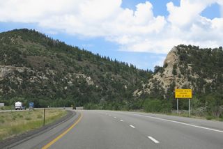
I-70/U.S. 50 run along Ivie Creek and then Draw Creek north from Tommy Hollow to Emigrant Pass.
08/17/13
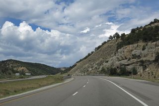
Interstate 70 rises to an elevation of 7,886 feet above sea level through Emigrant Pass in the Fish Lake Mountains.
08/17/13
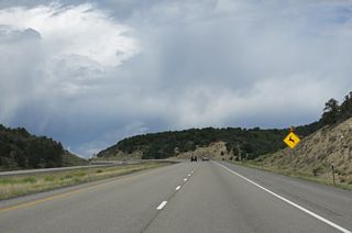
Old Highway 10 parallels the south side of I-70/U.S. 50 west to mile marker 81 near Culvert Hollow.
08/17/13
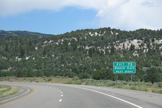
Previously acknowledged just as a ranch exit, signs for Exit 73 changed to display Salina Creek by 2019.
08/17/13
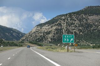
Old Highway 10 east and Convulsion Road tie into the diamond interchange at Exit 73 adjacent to Salina Creek. Convulsion Road heads 9.75 miles to Quitchupah Road at Convulsion Canyon.
08/17/13
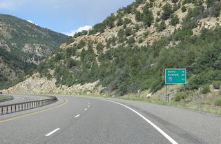
Paralleling Salina Creek, I-70/U.S. 50 narrow with a guard rail separating the roadways between Exits 73 and 63 in Fishlake National Forest.
08/17/13
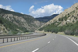
Old Highway 10 runs along the south side of Interstate 70 to mile marker 66, where it shifts north by Alumbed Hollow.
08/17/13
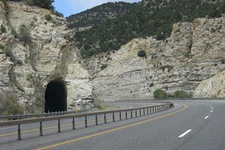
An unpaved section of Old Highway 10 passes through a tunnel adjacent to Interstate 70 near Coal Hollow.
08/17/13
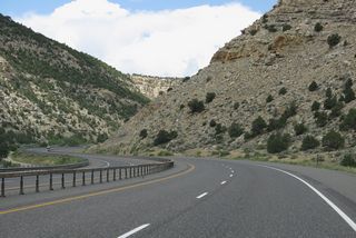
Interstate 70 passes north of Dead Horse Canyon and Maple Spring Canyon on the succeeding stretch.
08/17/13
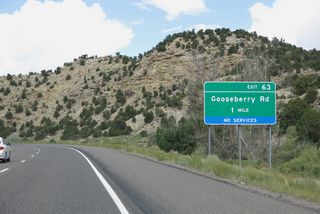
Goosenberry Road heads north through Goosenberry Road to the diamond interchange at Exit 63.
08/17/13
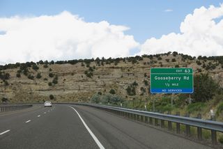
Goosenberry Road ventures 28.02 miles southeast to Johnson Valley Reservoir, where it ties into Fremont River Road northeast of Fish Lake.
08/17/13
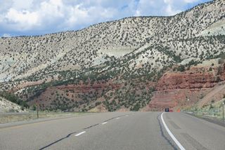
Rattlesnake Point (el. 5,889 feet) rises along the north side of Interstate 70 from adjacent Cedar Mountain.
08/17/13
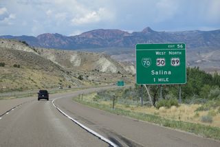
I-70 and U.S. 50 separate at Exit 56, just beyond Black Cap and Black Mountains in a broad valley fed by the Sevier River.
08/17/13
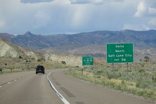
U.S. 50 travels northwest from Salina around the Valley Mountains to I-15 at Scipio. U.S. 50/I-15 overlap southwest toward Holden, where U.S. 50 turns west across the Pahvant Valley to U.S. 6 at Delta. Seat of Sanpete County, Manti lies northeast along U.S. 89.
08/17/13
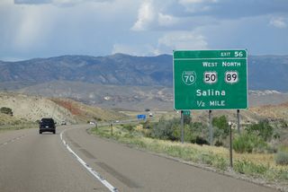
U.S. 50 west combines with U.S. 89 north along Business Spur I-70 (State Street) into the city of Salina. Business Spur I-70 follows State Street for 1.76 miles to Main Street, where U.S. 50 turns west ahead of SR 24 (old U.S. 89).
08/17/13
Photo Credits:
08/17/13 by AARoads
Connect with:
Business Spur I-70 - Salina
U.S. 89
State Route 76
Page Updated 02-23-2022.


