
 West
West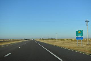
K-184 extends 1.58 miles north from the diamond interchange with County Road 2 to the intersection of Hastings Road and Main Street in Brewster.
10/06/21
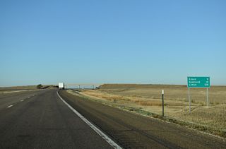
I-70/U.S. 24 west straighten out just beyond the Thomas County line to run due west nine miles to Goodland.
10/06/21
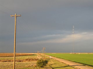
Crossing over County Road 36 through agricultural areas of eastern Sherman County. KDOT recorded 10,400 vehicles per day (vpd) on this section of I-70 in 2015.
10/17/04
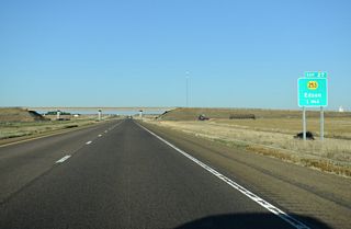
The first Sherman County exit lies 7.8 miles west of the county line with K-253 north and County Road 29 south near Edson.
10/06/21
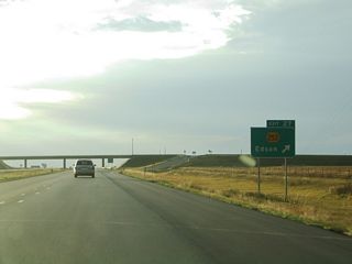
K-253 spurs 0.67 miles north from a diamond interchange (Exit 27) to Old US Highway 24 at unincorporated Edson.
10/17/04
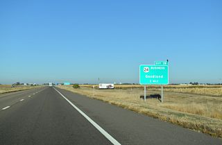
Goodland, seat of Sherman County, provides an array of traveler services at Exits 19 and 17. U.S. 24 Business loops 2.90 miles north from Interstate 70 between the two exits.
10/06/21
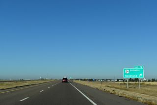
Westbound I-70/U.S. 24 reach the diamond interchange (Exit 19) with U.S. 24 Business west and County Road 21 south. The Goodland city center lies 2.4 miles to the northwest.
10/06/21
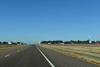
I-70/U.S. 24 generally bypass Goodland to the south, with the city limits extending across the freeway only at Exit 19 and Exit 17.
10/06/21
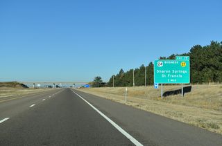
U.S. 24 Business returns to I-70/U.S. 24 alongside K-27 along Commerce Road. K-27 encircles the west side of Goodland from Exit 17 north to Renner Field - Goodland Municipal Airport (GLD).
10/06/21
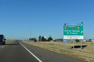
Forming a multi state route with N-27 to U.S. 34 at Haigler, K-27 ventures 30 miles south from Exit 17 to Sharon Springs and 35 miles north to St. Francis alongside U.S. 36.
10/06/21
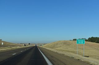
County Road 14 north links the freeway with Old US Highway 24 near the Kyle Railroad siding of Caruso.
10/06/21
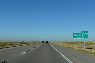
County Road 9 and Interstate 70 come together at a diamond interchange (Exit 9) in one mile.
10/06/21
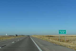
The settlement of Ruleton lies 1.4 miles northwest of Exit 9, just off parallel Old US Highway 24.
10/06/21
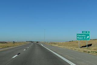
Exit 9 leaves I-70/U.S. 24 west for County Road 11. The county road is unpaved south of the freeway and north of Old US Highway 24.
10/06/21
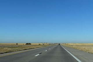
A distance sign referencing Limon, where U.S. 40 returns to Interstate 70 from Kit Carson, Colorado in 97 miles, was removed from I-70/U.S. 24 westbound ahead of the CR 8 underpass by 2018.
10/06/21
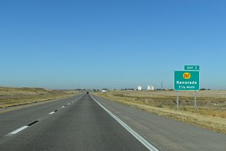
Kanorado is located just northwest of Exit 1 along Old U.S. Highway 24 and the Kyle Railroad.
10/06/21

Named after Colorado and Kansas, the agricultural community of Kanorado is home to around 150.
10/06/21
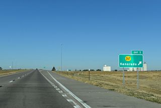
K-267 spurs 0.84 miles north from a diamond interchange (Exit 1) with Interstate 70 to Eastern Avenue in Kanorado.
10/06/21
Photo Credits:
10/17/04, 04/23/17, 10/06/21 by AARoads
Connect with:
K-267
Page Updated 11-08-2021.


