 West
West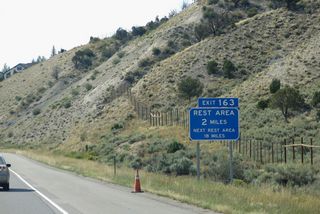
Continuing west, Interstate 70 leaves Avon for the unincorporated town of Edwards, where an off freeway rest area is located.
08/15/13
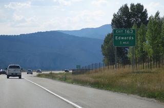
Exit 163 joins Interstate 70 with Business Spur I-70 (Edwards Access Road) 5.77 miles south to the Edwards Roundabout with U.S. 6 and Edwards Village Boulevard.
08/15/13
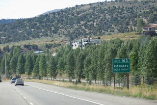
$10.7 million in road work completed on November 19, 2010 rebuilt the exchange at Exit 163 into a dumbbell interchange. Work also added roundabouts along Business Spur I-70 at Miller Ranch Road to Colorado Mountain College Vail Valley and at parallel Beard Creek Road.1
08/15/13
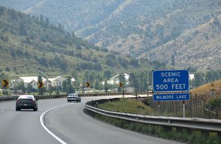
A scenic area encircles Wilmore Lake just beyond the Hillcrest Drive underpass along Interstate 70 westbound.
08/15/13
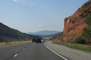
While this part of Colorado is not known for its red rock, occasional hints of color appear at some rock cuts. Much more red rock is present at Colorado National Monument in Grand Junction and again in the state of Utah.
08/15/13
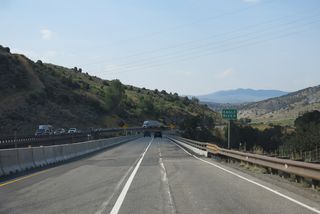
Interstate 70 passes over the Eagle River, which parallels the freeway from U.S. 24 at Minturn west to its confluence with the Colorado River just east of the entrance to Glenwood Canyon.
08/15/13

The succeeding exit from I-70 west is with SH 131 north at the unincorporated town of Wolcott.
08/15/13
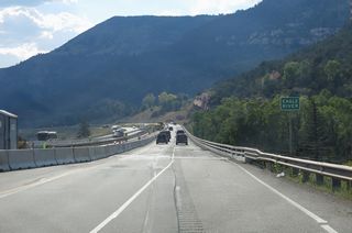
West at mile marker 154, Interstate 70 crosses the Eagle River again along with U.S. 6 and the Union Pacific Railroad line.
08/15/13
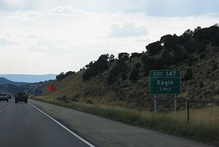
Interstate 70 enters the town of Eagle ahead of the dumbbell interchange (Exit 147) with Business Spur I-70 (Eby Creek Road) south.
08/15/13
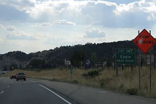
An off freeway rest area was formerly located along parallel Fairgrounds Road west of Exit 147. With four roundabouts, unsigned Business Spur I-70 (Route 070F) comprises a 0.346 mile long route between I-70 and U.S. 6 (Grand Avenue) at Church Street.
08/15/13
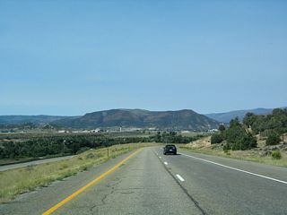
The Eagle County Regional Airport (EGE) comes into view as Interstate 70 proceeds west toward Glenwood Canyon.
08/30/04
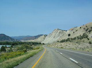
Interstate 70 travels along the northern edge of the Eagle River Valley. Paralleling the river to the south, U.S. 6 was truncated east from Gypsum to Eagle by 2021.
08/30/04
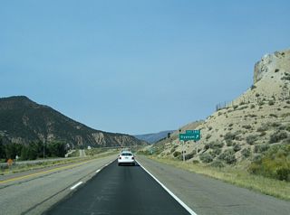
I-70 runs along the north side of Gypsum at the diamond interchange (Exit 140) with Highway 6 south and Trail Gulch Road north. U.S. 6 previously rejoined I-70 here, though a .175 mile section through the exchange at Exit 140 remains inventoried by CDOT as Route 006N.
08/30/04

 West
West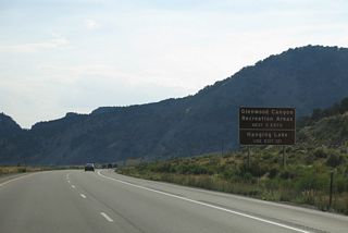
The succeeding exits fall within scenic Glenwood Canyon and portions of White River National Forest.
08/15/13
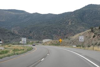
The speed limit along I-70 through Glenwood Canyon was previously set at 50 MPH. Variable speed limits were implemented along a 14 mile stretch by November 2019. The change allows CDOT to increase the limit to 60 MPH during good weather.2
08/15/13
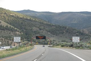
Heavy truck traffic is restricted to the right lane along Interstate 70 westbound through Glenwood Canyon.
08/15/13
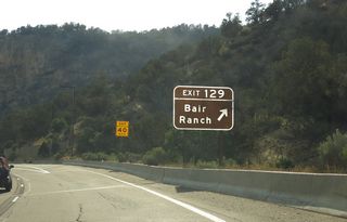
A CDOT off freeway rest area lies adjacent to the diamond interchange at Exit 129. Bair Ranch includes a variety of trails and public lands access.
08/15/13

The westbound roadway for I-70 travels at a higher elevation than the eastbound roadway. The eastbound lanes tend to remain closer to the level of the Colorado River.
08/15/13
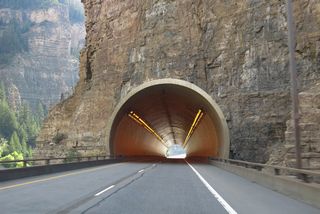
Following old U.S. 6, the eastbound roadway for I-70 remains along the Colorado River below the Reverse Curve Tunnel.
08/15/13

CDOT operates variable speed limits and lane control signals along Interstate 70 through Hanging Lake Tunnel.
08/15/13
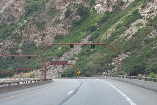
A wye interchange (Exit 125) joins the Hanging Lake trail head and parking area with Interstate 70 westbound just beyond the exit from Hanging Lake Tunnel.
08/15/13
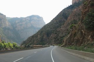
The westbound roadway continues at a higher grade than the eastbound lanes. An engineering marvel, the use of a bridge span in an environmentally challenging environment made this section of I-70 very difficult to construct.
08/15/13
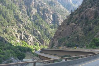
Glenwood Canyon Trail, a multi use path, runs along the eastbound roadway between I-70 and the Colorado River.
08/15/13
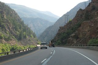
Interstate 70 passes above the Shoshone Generating Station, with ramps leading to the facility from eastbound (Exit 123) and onto westbound.
08/15/13
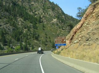
Grizzly Creek features camping, hiking, white water rafting and other outdoor activities in Glenwood Canyon.
08/28/04
Sources:
- I-70 Edwards Interchange. Colorado Department of Transportation (CDOT), web page.
- "Speed limit increase coming for I-70 through Glenwood Canyon." PostIndependent (Glenwood Springs, CO), October 7, 2019.
Photo Credits:
08/28/04, 08/30/04, 08/15/13 by AARoads
Connect with:
Business Spur I-70 - Eagle
Business Spur I-70 - Edwards
U.S. 6
State Highway 131
Page Updated 01-22-2022.


