 East
East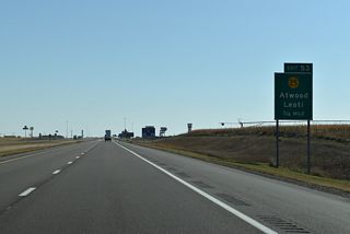
K-25 runs 18.26 miles south from Exit 53 to combine with U.S. 40 west to Page City en route to the Wichita County seat of Leoti.
10/06/21

K-25 (Range Avenue) leads north 2.22 miles to U.S. 24 (W 4th Street) in central Colby and 31.01 miles to U.S. 36 in Atwood.
10/06/21
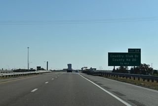
Country Club Drive / County Road 20 leads north from the succeeding exit to U.S. 24 (E 4th Street) near Downtown Colby.
10/06/21
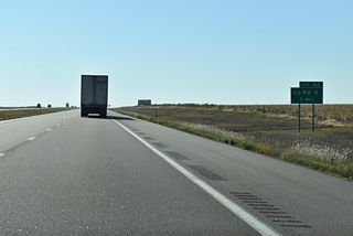
County Road K crosses Interstate 70 at Exit 62, midway between Colby and U.S. 83 north of Oakley.
10/06/21
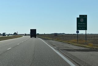
Guide signs for Exit 70 originally only displayed Oakley for U.S. 83. Added was Oberlin, seat of Decatur County, located 55 miles back to the north and then east.
10/06/21
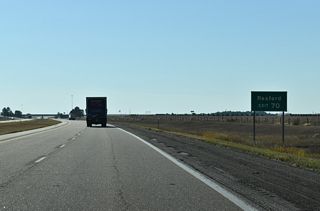
Rexford lies 24.0 miles to the north along U.S. 83. 18 miles shorter, a more direct route to the small city is via K-25 and U.S. 24 from Colby to U.S. 83 north.
10/06/21
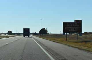
The guide sign at Exit 70 for U.S. 83 was removed by 2018. Monument Rocks Natural Area lies in southwest Gove County, east of U.S 83 near the Smoky Hill River.
10/06/21
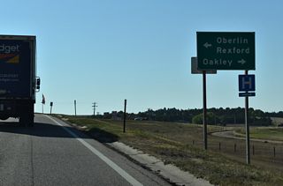
U.S. 83 south was formerly part of Business Loop I-70 to the Oakley business district. The loop returned to I-70 alongside U.S. 40 at Exit 76.
10/06/21

U.S. 40 runs along the south side of Oakley from the diamond interchange at Exit 76 west to the north split of U.S. 83.
10/06/21
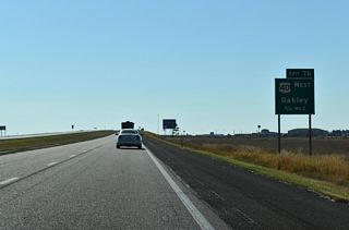
U.S. 40 travels 71.04 miles from Exit 76 to Monument, Winona, the Wallace County seat of Sharon Springs and the Colorado line west of Weskan.
10/06/21
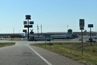
U.S. 40 combines with U.S. 83 north in 2.22 miles. U.S. 83 south leads from Oakley to Scott City and Garden City.
10/06/21
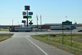
Business Loop I-70 through Oakley formerly overlapped with U.S. 40 west to Freeman Avenue. The 7.9 mile long route followed Front Street west and Carter Avenue through Downtown.
10/06/21

 East
East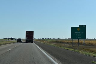
K-23 travels ten miles north from the Gove County seat of Gove City to the diamond interchange at Exit 93.
10/06/21
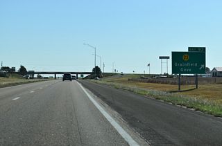
North from Exit 93, K-23 lines Old Highway 40 east to the city of Granfield. K-23 ALT stems north along Main Street to the Grainfield business district.
10/06/21
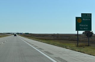
K-23 bee lines 17.23 miles north from K-23 Spur to U.S. 24 in Hoxie. The state highway concludes at U.S. 83/K-383 northeast of Selden in 36.06 miles.
10/06/21
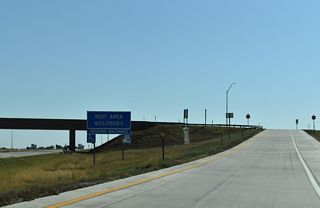
The Grainfield Safety Rest Areas lie just east of the exchange with K-23 Spur at mile marker 97.
10/06/21
Photo Credits:
10/06/21 by AARoads
Page Updated 11-09-2021.


