 West
West  North
North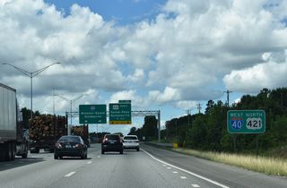
The final reassurance sign for Interstate 40 west / U.S. 421 south precedes the wye interchange (Exit 206) with Salem Parkway west.
08/18/21
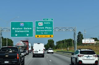
Salem Parkway leads U.S. 421 west to Downtown Winston-Salem. Coinciding with the decommissioning of Business Loop I-40, construction finished in February 2020 rebuilt the 1950s freeway.
08/13/21
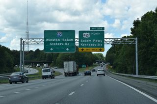
I-40 along Salem Parkway (Business Loop I-40) was bypassed on October 29, 1992 when a new 24.4 mile alignment opened south of central Winston-Salem.1 Business Loop I-40 overlapped with U.S. 421 for 19.32 miles.
08/18/21
 West
West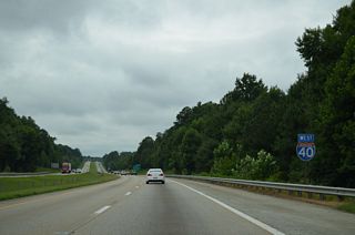
Interstate 40 shifts southward to bypass Kernersville along an initially rural stretch to the Forsyth County line.
08/06/13
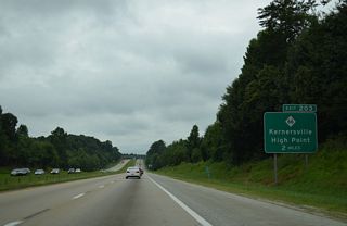
NC 66, a 46.9 mile route from I-73 near Horneytown to NC 89, east of Westfield, converges with I-40 at diamond interchange (Exit 203) in two miles.
08/06/13
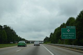
Locally NC 66 leads north through the industrial south side of Kernersville to combine with NC 150 east at U.S. 421 (Salem Parkway) along Bodenhamer Street around Downtown.
08/06/13
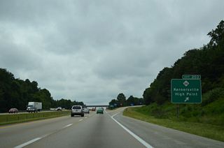
Exit 203 leaves Interstate 40 west for NC 66 south to I-74 outside High Point. NC 66 encircles Kernersville west from near Downtown along Mountain Street to Talleys Crossing.
08/06/13
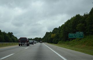
The Kernersville city limits extend westward along Interstate 40 to Exit 201. The freeway arcs south of Beeson Crossroads to meet Union Cross Road (SR 2643) next in 1.5 miles.
08/06/13
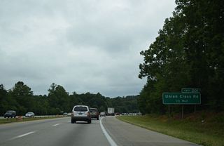
Union Cross Road (SR 2643) leads northeast from Exit 201 to become Salisbury Street north into Kernersville.
08/06/13
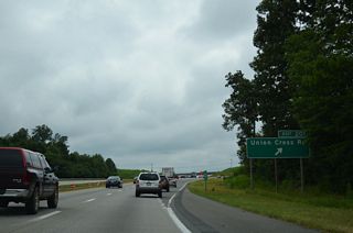
South from Exit 201, Union Cross Road (SR 2643) connects with I-74 at Union Cross. Construction underway through November 15, 2015 converted the exchange at Exit 201 into a diverging diamond interchange (DDI).
08/06/13
 West
West
U.S. 311 northbound previously joined I-40 west from Interstate 74 for a 2.01 mile overlap to U.S. 52/NC 8 north.
07/09/10
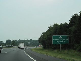
NC 109 concludes a 107 mile course at the split diamond interchange (Exit 195) with E Clemmonsville Road (SR 2747) in one half mile.
07/09/10
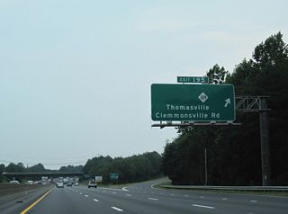
NC 109 (Thomasville Road) travels southeast from Easton View to the Davidson County line en route to Wallburg and Thomasville. Thomasville Road (SR 4325) north to Sunnyside is the former alignment of both NC 109 and U.S. 311. Clemmonsville Road, another old alignment of U.S. 311, angles southwest from Waughtown Street to Old Lexington Road.
07/09/10
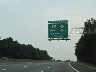
Interstate 40 continues west to I-285, U.S. 52 and NC 8. U.S. 52 overlaps with I-285 south to I-85 at Lexington and coincides with Future I-74 north from Winston-Salem to Mount Airy.
07/09/10
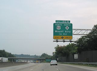
Interstate 40 lowers westbound into the cloverleaf interchange (Exit 193) with I-285 south and U.S. 52/NC 8. NC 8 combines with U.S. 52 from north of Lexington to Germantown Road in north Winston-Salem.
07/09/10
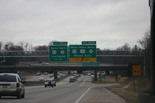
Exit 193B departs Interstate 40 west for U.S. 52/NC 8 north outside Downtown Winston-Salem. U.S. 52 north to Stanleyville is part of Future I-285.
04/15/11
Photo Credits:
- 07/09/10 by AARoads.
- 04/15/11 by Brent White.
- 08/06/13 by AARoads.
- 12/15/16 by AARoads.
- 08/13/21 by AARoads.
- 08/18/21 by AARoads.
Connect with:
Interstate 285
U.S. 52
U.S. 421
Page Updated 07-28-2020.


