 West
West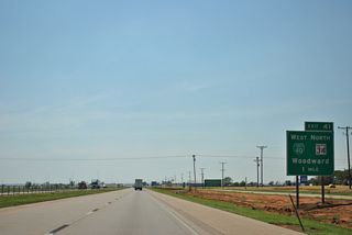
Business Loop I-40 branches west from Interstate 40 at Exit 41 into Elk City. Following Historic U.S. 66 and a portion of SH 6, the business route measures 9.68 miles in length.
05/05/12
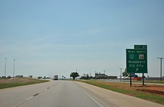
The wye interchange (Exit 41) with Business Loop I-40/Historic U.S. 66 ties into SH 34 north of an adjacent wye interchange along Interstate 40. SH 34 travels 70 miles north to U.S. 183/270-SH 3 at the city of Woodward.
05/05/12
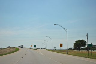
Interstate 40 crosses the Beckham County line where Exit 41 separates for Business Loop I-40 and SH 34 north.
05/05/12
 West
West  South
South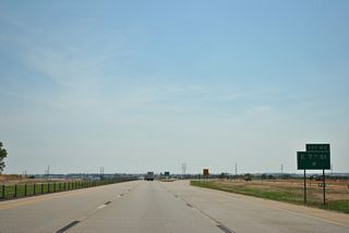
Turning south to bypass Elk City, IH 40 west combines with SH 34 ahead of the modified diamond interchange (Exit 40) with Eastern Avenue and E 7th Street.
05/05/12
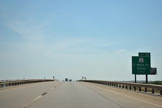
SH 6 (S Main Street) constitutes a commercial boulevard south from Business Loop I-40 (3rd Street) and Downtown Elk City to IH 40/SH 34 at Exit 38.
05/05/12
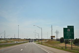
$16 million in construction from May 2019 to Summer 2020 converted the exchange at Exit 38 into the first diverging diamond interchange in Oklahoma.1
05/05/12
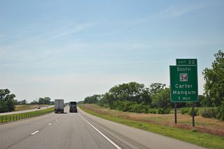
SH 34 splits with Interstate 40 west at a half diamond interchange (Exit 32) adjacent to the wye interchange at the west end of Business Loop I-40.
05/05/12
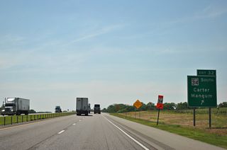
SH 34 continues 35 miles south to the town of Carter and with U.S. 283 to the Greer County seat of Mangum.
05/05/12
 West
West
Interstate 40 and Historic U.S. 66 turn southwest from Elk City to the Beckham County seat of Sayre.
05/05/12
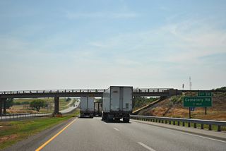
The diamond interchange (Exit 26) with Cemetery Road lies at the northeastern end of the Sayre city limits.
05/05/12
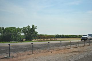
Historic U.S. 66 crosses Timber Creek on a vintage truss bridge along the south side of Interstate 40.
05/05/12
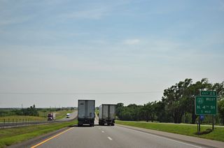
IH 40 turns south to circumvent Sayre to the east while Business Loop I-40 lines Historic U.S. 66 to the west along a 4.79 mile course.
05/05/12
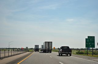
Business Loop I-40/Historic U.S. 66 angle southwest from the diamond interchange at Exit 25 to join U.S. 283 south along 4th Street to Downtown Sayre.
05/05/12
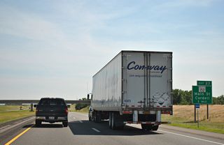
SH 152 joins Interstate 40 with the Sayre business district from the east along Main Street.
05/05/12
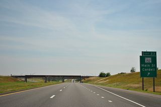
SH 152 bee lines 35.5 miles east from Sayre to New Cordell. The state highway extends east to IH 44 in Oklahoma City.
05/05/12
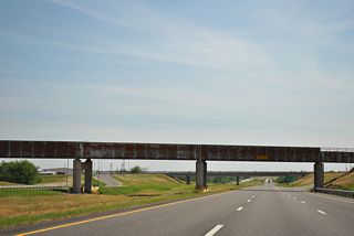
Farmrail spans Interstate 40 at the diamond interchange (Exit 23) with SH 152 (E Main Street).
05/05/12

U.S. 283/Business Loop I-40 continue south from the Sayre city center to the diamond interchange at Exit 20.
05/05/12
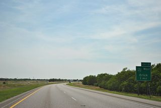
Overlaying Historic U.S. 66, Business Loop I-40 to Erick branches south from Interstate 40 at Exit 11.
05/05/12
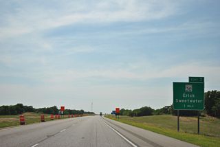
SH 30 (Sheb Wooley Avenue) heads north from Business Loop I-40 (Roger Mills Boulevard) in the Erick city center to the diamond interchange at Exit 7.
05/05/12
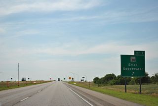
SH 30 continues 14.6 miles north from Interstate 40 to SH 152 in the rural town of Sweetwater.
05/05/12
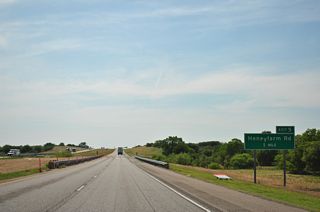
Business Loop I-40 returns to Interstate 40, 0.85 miles north of Historic U.S. 66 along Honeyfarm Road.
05/05/12
Sources:
- Elk City's Diverging Diamond Interchange at I-40 & SH-6. Oklahoma Department of Transportation (ODOT) Completed Projects. Page accessed July 12, 2022.
Photo Credits:
05/05/12 by AARoads
Page Updated 07-12-2022.


