
 East
East  South
South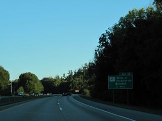
Continuing into Johnson City, I-26/U.S. 23 advance one mile to a SPUI (Exit 19) with SR 381 (State of Franklin Road).
10/02/10
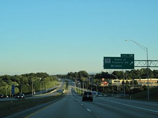
SR 381 constitutes a 7.63 mile long controlled access arterial bypass of Johnson City south to U.S. 11E/321 (W Market Street) and east to U.S. 11E/19W (Bristol Highway).
10/02/10
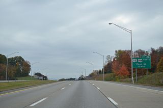
U.S. 11E/19W shift south onto N Roan Street from SR 381 and SR 36 to a cloverleaf interchange (Exit 20) with I-26/U.S. 23.
10/25/15
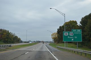
U.S. 11E/19W (N Roan Street) constitutes a commercial arterial leading south into Johnson City.
10/25/15
 East
East 
 South
South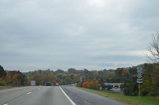
U.S. 19W combines with I-26/U.S. 23 south for 23.31 miles from N Roan Street (U.S. 11E) to Exit 43 at Temple Hill.
10/25/15
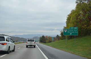
A split diamond interchange joins I-26/U.S. 19W-23 with SR 400 on the one way couplet of Unaka Avenue west and Watauga Avenue east.
10/25/15

SR 91 (Market Street west / Main Street east) connects Interstate 26 with Downtown Johnston City at Exit 23.
10/25/15
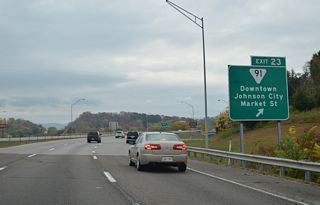
SR 91 east to Elizabethton is the historic alignment of U.S. 321. Guide signs for Exit 23 previously only displayed Market Street.
10/25/15
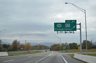
U.S. 321/SR 67 (University Parkway) loop west to U.S. 11E at East Tennessee State University. The two routes follow a freeway east to Elizabethton.
10/25/15
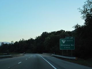
SR 359 is a 4.84 mile long route leading south from U.S. 321/SR 67 in Elizabethton to I-26/U.S. 19E-23 at Exit 27.
10/02/10
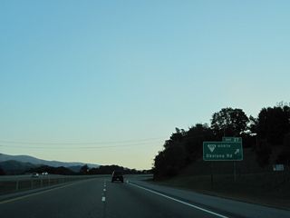
SR 359 dog legs north from a diamond interchange (Exit 27) with Interstate 26 at Okolona along S Roan Street (old U.S. 19W/23) to the continuation of Okolona Road east.
10/02/10
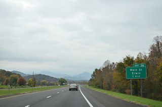
Harris Hollow Road links I-26/U.S. 19W-23 with parallel SR 107 (N Main Avenue) in the town of Erwin via Exit 36.
10/25/15
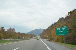
SR 81 winds south from Jonesborough between Rich and Buffalo Mountains to a diamond interchange (Exit 37) with I-26 at 2nd Street in Erwin.
10/25/15
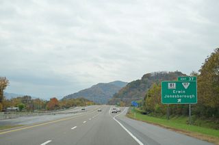
SR 81 overlaps with SR 107 north of Embreeville Mountain. SR 81 ends at Exit 37 while SR 107 continues east across the Pat E. Brown Memorial Bridge to N Main Avenue.
10/25/15
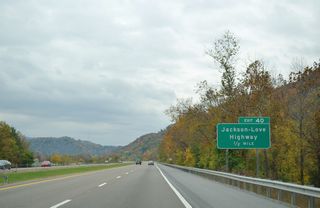
Jackson-Love Highway extends west from south Erwin to a diamond interchange (Exit 40) with I-26/U.S. 19W-23.
10/25/15
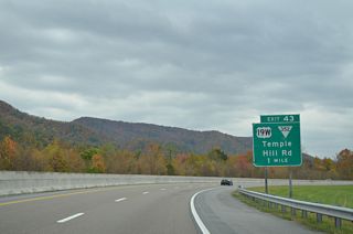
U.S. 19W separates from I-26/U.S. 23 at Exit 43 to overtake Temple Hill Road (old U.S. 19W/23) south.
10/25/15
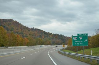
SR 352 branches southwest from U.S. 19W nearby along a 9.06 mile course to Rocky Fork, Lamar Alexander Rocky Fork State Park and NC 212 at Devil Fork Gap.
10/25/15
 East
East  South
South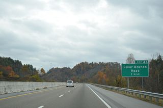
A diamond interchange joins Interstate 26 with an access road west to Clear Branch Road and east to a Welcome Center and rest area.
10/25/15
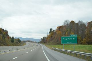
Interstate 26 arcs south to a trumpet interchange (Exit 50) with Upper Higgins Creek Road at Gentry Hollow.
10/25/15
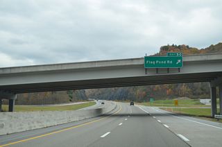
Upper Higgins Creek Road links Exit 50 with parallel Flag Pond Road (old U.S. 23) west of Stamp Ridge near the settlement of Flag Pond.
10/25/15
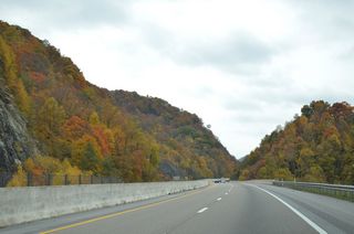
A series of three bridges line the side of Stamp Ridge on the climb into the Bald Mountains.
10/25/15

The Sams Gap Scenic Overlook lines the southbound roadway adjacent to Flag Pond Road (old U.S. 23).
10/25/15
Photo Credits:
10/02/10, 10/25/15 by AARoads
Connect with:
U.S. 321
Page Updated 08-25-2020.


