Interstate 25 passes through eastern reaches of Fort Collins between Exit 265 and 271. The city rests at an average elevation of 5,000 feet above sea level and is perhaps best known as the home of Colorado State University, one of the largest universities in the state. Its weather is relatively moderate, with nearly 300 days of sunshine and approximately 14.5 inches of precipitation (rainfall and snowfall combined) annually.
Fort Collins is "The Choice City," and it was incorporated as a town in 1873, only nine years after it was founded as a military fort in 1864. Explosive growth increased the population from an estimated 126,848 in 2003 per the official city web page to 169,810 as recorded in the 2020 U.S. Census.
As part of its governmental services, the city of Fort Collins provides electricity for its residents. Along with three other regional municipalities (Estes Park, Longmont and Loveland), the city is part of the Platte River Power Authority. This authority transmits hydroelectric power generated through the Western Area Power Administration, and it also has generating facilities in the Front Range, in Craig (coal fire) and in Medicine Bow, Wyoming (wind turbines).

 South
South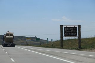
Paired since Glenrock, Wyoming, I-25/U.S. 87 enter the Centennial State. The two routes overlap throughout Colorado.
08/15/13
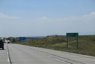
U.S. 87 is unmarked along the entire length of Interstate 25 south in Colorado. The next shield for the route appears at Raton, New Mexico.
08/15/13
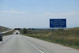
The welcome center for Interstate 25 south in Colorado is located in Fort Collins, 31 miles south beyond the Wyoming line.
08/15/13
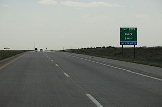
The first exit along Interstate 25 south in Colorado connects with Weld County Route 126 east to Carr.
08/15/13
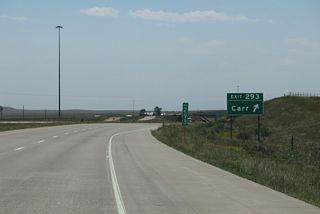
West from the diamond interchange at Exit 293, CR 126 becomes an unpaved road to Larimer County Route 92 en route to the BNSF Railroad siding of Norfolk.
08/15/13
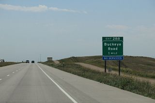
The succeeding exit along Interstate 25 south at Buckeye Road serves local ranches and farms. No services are available at Exit 288.
08/15/13
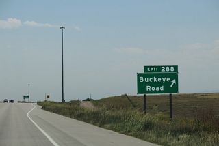
The rural settlement of Buckeye is 9.8 miles to the west of the diamond interchange at Exit 288.
08/15/13
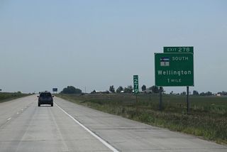
SH 1 (Cleveland Avenue) is a 10.05 mile long highway leading southwest from Exit 278 to U.S. 287/SH 14 by Terry Lake in Fort Collins.
08/15/13
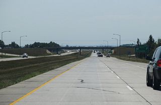
Interstate 25 enters the town of Wellington at the diamond interchange (Exit 278) with SH 1 (Cleveland Avenue) south.
08/15/13
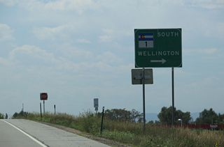
Historically a much longer route, SH 1 spanned the state roughly along the original route of U.S. 85-87. It was co-signed with U.S. 87, which followed the route of U.S. 287 from 1936 until the mid-1960s.
08/15/13
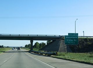
I-25 advances south to a diamond interchange (Exit 271) with Mountain Vista Drive west by the Anheuser Busch Fort Collins Brewery and CR 50 east.
09/05/04
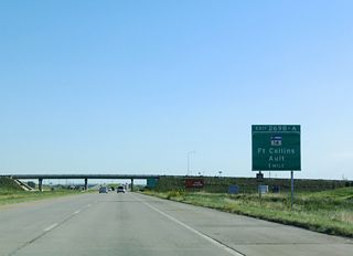
Formerly a full cloverleaf interchange, the succeeding exit on Interstate 25 south is with SH 14 (Mulberry Street). SH 14 joins Fort Collins with Walden across the Front Range.
09/05/04
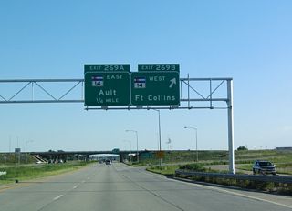
SH 14 provides one of three routes from I-25 to Colorado State University. The campus, including Canvas Stadium where Colorado State Rams football is played, is located northwest from the intersection of U.S. 287 (College Avenue) and Prospect Road.
09/05/04
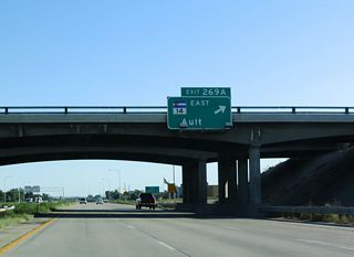
A major arterial route, SH 14 travels east from Fort Collins to U.S. 85 at the town of Ault and U.S. 6 in the city of Sterling.
09/05/04
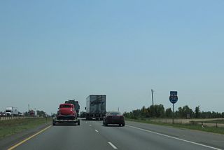
Rest areas were previously located along both roadways for Interstate 25 north of Harmondy Road and the Cache la Poudre River.
08/15/13
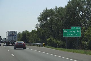
The final exit for Fort Collins links I-25 south with Harmony Road. Until 2005, Harmony Road west from Exit 268 to U.S. 287 (College Avenue) was designated SH 68. The highway was subsequently returned to local control.
08/15/13
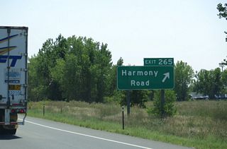
Harmony Road comprises a commercial arterial west to U.S. 287 (College Avenue) in southern Fort Collins. East from Exit 268, Harmony Road (CR 38) becomes CR 74 to suburban areas of Weld County and the town of Severance.
08/15/13
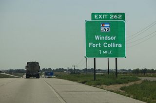
Passing by Fossil Creek Reservoir, I-25 runs south along the Windsor city line to Exit 262 for SH 392. A 46.27 mile long route, SH 392 originates from U.S. 287 along the Fort Collins city line.
08/15/13
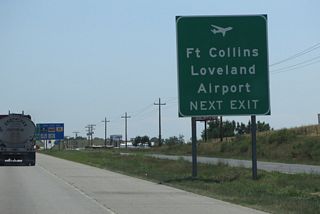
Formerly Fort Collins Loveland Airport, Northern Colorado Regional Airport (FNL) lies west of the I-25 Frontage Road and Centrepoint Business Park.
08/15/13
Photo Credits:
09/05/04, 08/15/13 by AARoads
Page Updated 01-06-2022.


