 North
North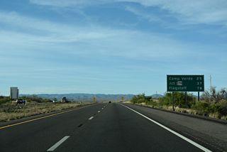
Distance sign along northbound I-17 after Exit 263 and Arcosanti. The next major exits are for SR 169 west to Dewey, SR 260 in Camp Verde/Verde Valley, and Interstate 40 in Flagstaff.
04/26/17
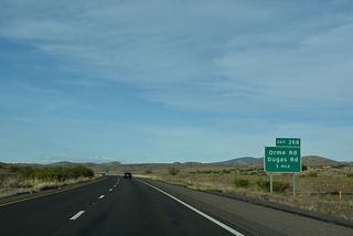
Orme Road south and Dugas Road north come together at forthcoming Exit 268 next to Ash Creek.
04/26/17
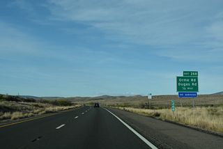
There are no services at Exit 268 for Orme Road and Dugas Road along northbound Interstate 17.
04/26/17
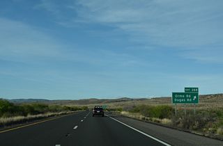
Dugas Road traverses ranch land southeast to Estler Peak. Orme Road spurs north to Orme Ranch.
04/26/17
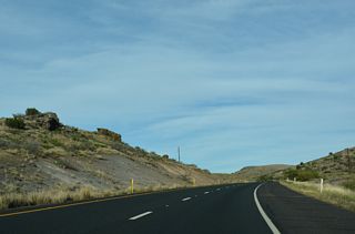
The roadways for Interstate 17 separate by as much of eight tenths of a mile to the west of Dry Creek.
04/26/17
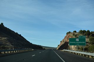
A diamond interchange (Exit 278) connects Interstate 17 with the north end of SR 169 and Flower Pot Ranch in one mile.
04/26/17
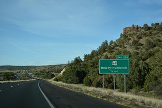
SR 169 (Cherry Road) stretches 15.16 miles west to SR 69 at Dewey, beyond Texas Gulch and the Agua Fria River.
04/26/17
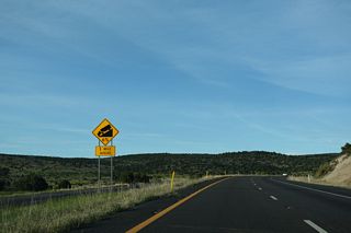
Traversing the Black Hills, Interstate 17 lowers from 4,585 to 3,114 feet above sea level into the scenic Verde Valley.
04/26/17
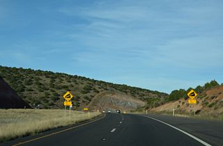
Descending from a peak of 4,715 feet above sea level, Interstate 17 navigates through a series of S-curves east between Pinto Mesa and Grassy Mountain.
04/26/17
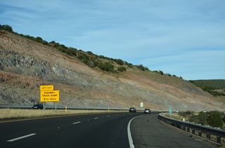
A runaway truck ramp lines the left side of Interstate 17 northbound beyond mile marker 283.
04/26/17
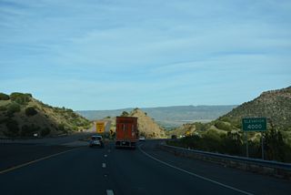
The northbound roadway for Interstate 17 across the Black Hills was initially constructed for two-way traffic.
04/26/17
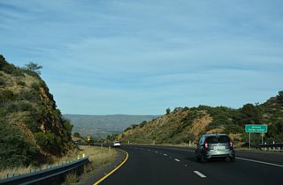
The Verde River leads south from Verde Valley through several reservoirs before joining the Salt River just east of metropolitan Phoenix.
04/26/17
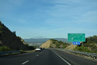
Providing a full array of motorist services, the town of Camp Verde lies at the center of Verde Valley.
04/26/17
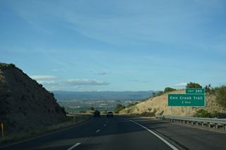
General Crook Trail provides a cutoff from Interstate 17 north 1.65 miles east to SR 260 in Camp Verde.
04/26/17
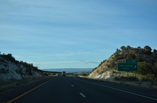
SR 260 bypasses Camp Verde to the west and south. The former route along Main Street leads to Fort Verde State Historic Park.
04/26/17
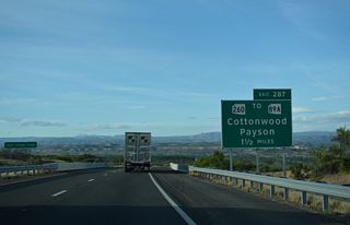
Angling northeast by Gaddis Wash, Interstate 17 converges with SR 260 at a diamond interchange (Exit 287) next.
04/26/17
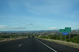
SR 260 west and SR 89A south lead to Tuzigoot National Monument in the town of Clarkdale. The ruins at Tuzigoot include a pueblo of the Sinagua Indians. The town of Jerome lies just west of Clarkdale in the Black Hills.
04/26/17
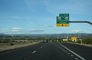
East from Camp Verde, SR 260 leads to Strawberry, Payson and U.S. 60 at Show Low. U.S. 60 runs east from Phoenix to Apache Junction and Globe, then northeast alongside SR 77 between Globe and Show Low.
04/26/17
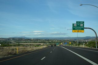
U.S. 89A preceded SR 89A until 1992 when U.S. 89 was truncated to Flagstaff. SR 89A meets I-17 further north, just ahead of Interstate 40.
04/26/17
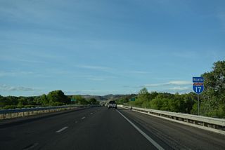
Northeast from Camp Verde, Interstate 17 leaves Prescott National Forest and enters Coconino National Forest.
04/26/17
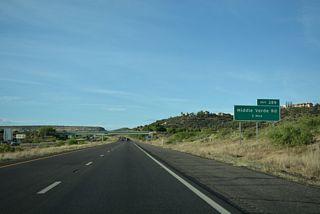
Continuing northeast from the Verde River, Interstate 17 meets Middle Verde Road at a dumbbell interchange (Exit 289).
04/26/17
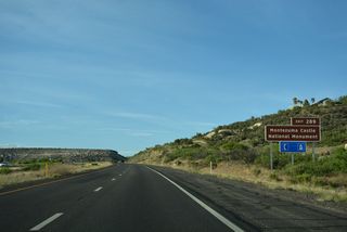
Located east of Exit 289 along Beaver Creek, Montezuma Castle National Monument features early cliff dwelling ruins perhaps used by the Sinagua Indians.
04/26/17
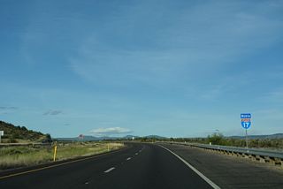
Interstate 17 runs between the White Hills and Montezuma Castle National Monument on the ensuing stretch northbound.
04/26/17
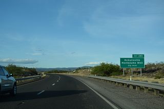
Cornville Road (CR 30) south and Beaver Creek Road west come together at Exit 293 and the community of McGuireville.
04/26/17
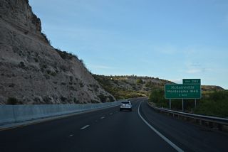
Beaver Creek Road leads east into the community of Lake Montezuma and to Montezuma Well. Part of Montezuma Castle National Monument, Montezuma Well provided a source of water to the ancient people of this area.
04/26/17
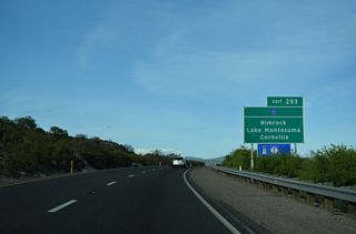
Rimrock lies midway between McGuireville and Lake Montezuma. Yavapai County Route 30 arcs northwest 12.65 miles from Exit 293 to Cornville and SR 89A near Bridgeport in Cottonwood.
04/26/17
Photo Credits:
04/26/17 by AARoads
Connect with:
State Route 89A
State Route 169 - Cherry Road
State Route 260
Page Updated 04-21-2022.


