 North
North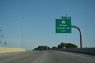
SR 114 stems 0.82 miles west from U.S. 189 (University Avenue) in Downtown Provo to Interstate 15 at Exit 265.
07/16/17
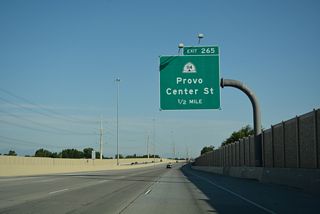
SR 114 constitutes a 10.94 mile long loop west from Provo and north paralleling I-15 to Vineyard, Lindon and U.S. 89 in Pleasant Grove.
07/16/17
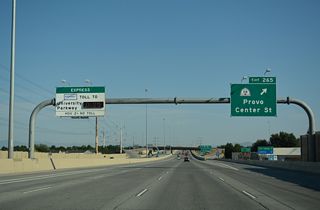
The split diamond interchange at Exit 265 replaced a directional cloverleaf interchange with SR 114. The change coincided with the realignment of Center Street.
07/16/17
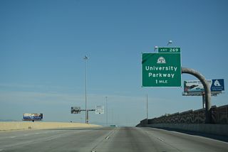
SR 269 (University Parkway) heads 4.34 miles west from U.S. 189 and Brigham Young University (BYU) to Exit 269 and adjacent SR 114 (Geneva Road).
07/16/17
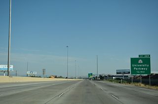
Originally a diamond interchange, a SPUI joins I-15 with SR 265 (University Parkway) at Exit 269.
07/16/17
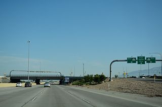
A continuous flow intersection (CFI) connects SR 265 with Sandhill Road just east of Exit 269 at Utah Valley University (UVU).
07/16/17
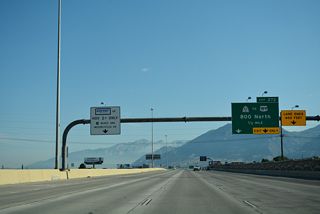
SR 52 (800 North) runs across Orem from SR 114/176 at the Vineyard city line 3.06 miles east to U.S. 189 at the entrance into Provo Canyon.
07/16/17
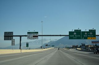
West from the SPUI at Exit 272, SR 52 (800 North) links with SR 114 (Geneva Road) across from SR 176 (Vineyard Connector Road), a 1.05 mile long spur west across the site of the Geneva Steel Plant in Vineyard.
07/16/17
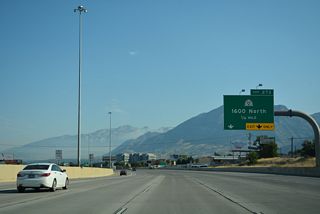
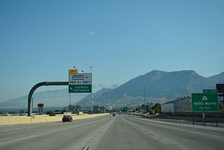
Meeting I-15 at Exit 273, SR 241 (1600 North) straddles the Orem and Lindon city line between SR 114 (Geneva Road) and 1030 West.
07/16/17
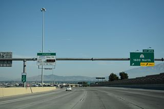
Measuring 1.56 miles in length, SR 241 (1600 North) extends east to U.S. 89 (State Street) in north Orem.
07/16/17
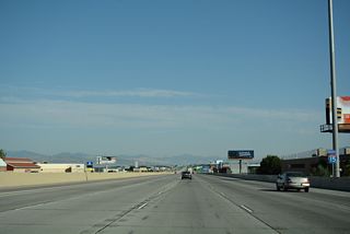
Angling northwest, Interstate 15 passes through the city of Lindon to the southern wedge of Pleasant Grove.
07/16/17
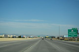
A diamond interchange (Exit 275) links I-15 with SR 135 (Pleasant Grove Boulevard) in Pleasant Grove. "Utah's City of Trees" incorporated on January 18, 1855 and was home to 37,726 as of the 2020 Census.
07/16/17
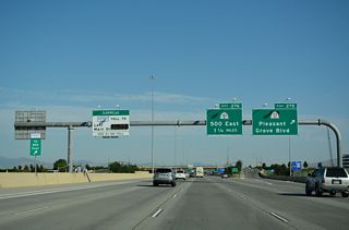
Just 0.731 miles in length, SR 135 connects I-15 with 2800 West on the Lindon city line and SR 129 (North County Boulevard) in Pleasant Grove.
07/16/17
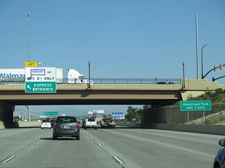
Advancing northwest, the succeeding two exits from Interstate 15 fall within the city of American Fork. Home to 34,521 as of the 2020 Census, American Fork incorporated June 4, 1853.
08/01/16
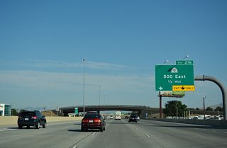
SR 180 lines 500 East north 1.06 miles from Interstate 15 at Exit 276 to U.S. 89 (State Street).
07/16/17
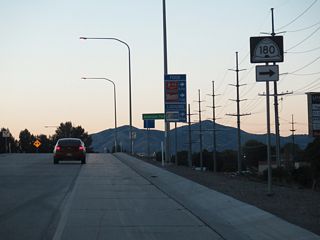
SR 180 runs north along 500 East to U.S. 89 east of the American Fork city center. 500 East continues south to 1100 South at Wing.
08/12/16
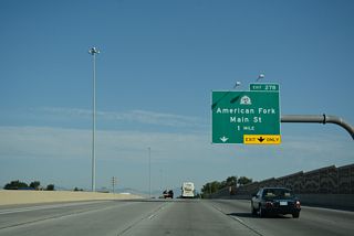
SR 145 (Main Street) branches west from U.S. 89 (State Street) in American Fork into the diverging diamond interchange at Exit 278.
07/16/17
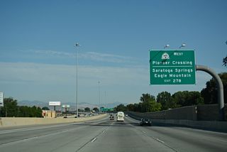
SR 145 follows Pioneer Crossing west across the city of Lehi to the Jordan River and SR 68 (Redwood Road) in the city of Saratoga Springs.
07/16/17
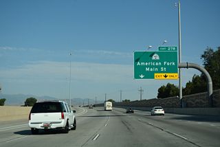
Pioneer Trail west to SR 68 (Redwood Road) opened to traffic in August 2010. Coinciding with work on the arterial was the conversion of the diamond interchange at Exit 278 into a DDI.
07/16/17
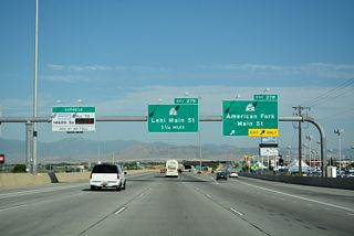
SR 145 travels 4.39 miles overall west to SR 73 at Crossroads Boulevard and the future Mountain View Corridor along SR 85. SR 73 leads west from there into the city of Eagle Mountain.
07/16/17
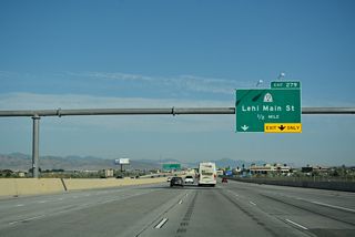
SR 73 along Main Street across Lehi was relinquished to the city following the completion of SR 145 along Pioneer Crossing. This left 0.482 miles of SR 73 along Main Street between 850 East and U.S. 89 (State Street) at Eastgate Drive.
07/16/17
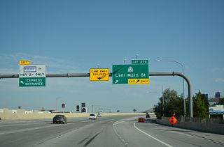
SR 73 (Main Street) ties into U.S. 89 just east of the SPUI at Exit 279. The western segment of SR 73 runs 35.70 miles from SR 145 (Pioneer Crossing) in Saratoga Springs to SR 36 north of St. John Station.
07/16/17
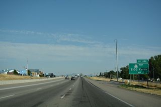
Formerly designated as SR 85 (Mountain View Corridor), 2100 North west from Exit 282 to SR 68 (Redwood Road) was renumbered to SR 194.
07/16/17
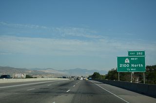
3.06 miles in length, SR 104 (2100 North) constitutes a set of frontage roads alongside right of way reserved for a future freeway.
07/16/17

Future work will construct a two-wye interchange with high speed flyovers between I-15 and SR 194 along the Mountain View Corridor (MVC).
07/16/17

 North
North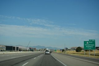
Forthcoming SR 92 is a 24.31 mile long highway from Ashton Boulevard, just west of I-15 in Lehi, to U.S. 189 via American Fork Canyon.
07/16/17
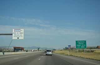
SR 92 (Timpanogos Highway) is a controlled access arterial east to 6400 West in Highland. The arterial continues east between south Alpine and north Cedar Hills.
07/16/17
Photo Credits:
08/01/16, 08/12/16, 07/16/17 by AARoads
Connect with:
U.S. 89
Page Updated 02-14-2022.


