 North
North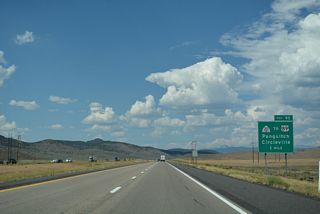
SR 20 stems 20.06 miles east from a diamond interchange (Exit 95) with I-15 to U.S. 89 at Bear Valley Junction.
07/15/17
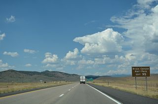
SR 20 east to U.S. 89 south to SR 12 east provides a direct route from Exit 95 to Bryce Canyon National Park.
07/15/17
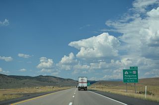
Traversing the Hurricane Cliffs through Bone Hollow, SR 20 travels east into Buckskin Valley and then north of Showalter Mountain to Garfield County.
07/15/17
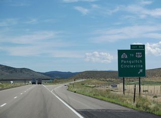
U.S. 89 travels north from the end of SR 20 through Circleville Canyon to the town of Circleville. South from SR 20, U.S. 89 heads to the Garfield County seat of Panguitch.
08/09/14
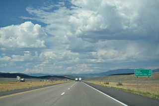
Located 15 miles ahead, the city of Beaver sits along Interstate 15 and Old U.S. 91 between the Tushar Mountains to the east and Mineral Mountains to the west.
07/15/17
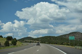
The roadways for Interstate 15 separate north across Beaver Ridge and the Beaver County line.
07/15/17
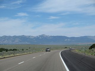
The Mineral Mountains rise along the northern horizon as I-15 lowers east of Greenville Bench.
08/09/14

Business Loop I-15/SR 160 separate from Exit 109 to overtake old U.S. 91 along Main Street north into the Beaver County seat of Beaver. Settled by Mormon pioneers, Beaver incorporated on January 10, 1867.
07/15/17
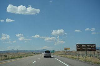
There is no access between I-15 and SR 21 (Center Street). Instead SR 160 (Main Street) links with SR 21 west to Minersville and Nevada State Route 487 to Great Basin Natonal Park and Ely.
07/15/17

SR 21 east from Milford and SR 153 (Beaver Canyon Scenic Byway) west from Eagle Point ski resort tie into Business Loop I-15/SR 160 in Downtown Beaver. Sitting at an elevation of 5,920 feet above sea level, Beaver grew from 2,454 in the 2000 Census to 7,072 in the 2020 Census.
07/15/17
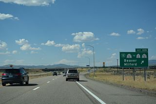
SR 21 constitutes a 10.7.66 mile long highway northwest from Beaver to the Nevada state line near Garrison. Topping out at over 10,200 feet above sea level in the Tusher Mountains, SR 153 is partially unpaved along a 40.51 mile long course east to U.S. 89 in Junction.
07/15/17
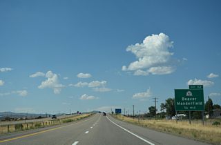
The 3.80 mile long route of SR 160 and Business Loop I-15 concludes at the diamond interchange (Exit 112) with Main Street and 1400 North.
07/15/17
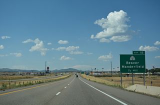
Old U.S. 91 extends north from Business Loop I-15/SR 160 (Main Street) in Beaver along Highway 357 to the unincorporated community of Manderfield.
07/15/17
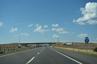
80 mile per hour speed limit zones were introduced in 2011 along select segments of Interstate 15, including the 20 mile stretch north of Beaver.
07/15/17
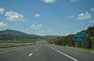
Paralleling Wildcat Creek, Interstate 15 north lowers to a diamond interchange (Exit 120) with Manderfield Road at Wildcat Fields.
07/15/17
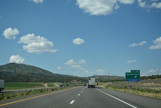
Exit 120 departs for Manderfield Road south and ranch roads north toward Gillies Hill (el. 7,854 feet).
07/15/17
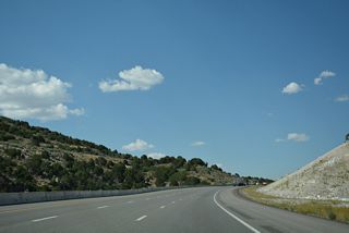
The roadways of I-15 separate north to Bull Hollow. U.S. 91 was directly replaced by construction of the freeway.
07/15/17
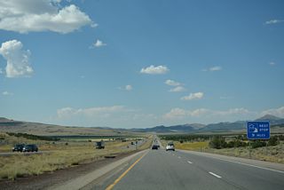
A rest area was formerly located along Interstate 15 northbound at mile marker 127. A public-private rest area follows at Cove Fort.
07/15/17
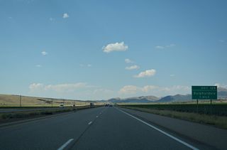
Old U.S. 91 emerges from I-15 along Pine Creek Highway, an unpaved road north from near mile marker 126 to Pine Creek and forthcoming Exit 129.
07/15/17
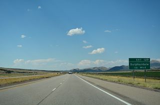
Cunningham to Pine Creek Highway ties into the diamond interchange at Exit 129 from the west.
07/15/17
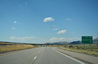
Old U.S. 91 continues northeast along Pine Creek Highway to the settlement of Sulphurdale and Interstate 70, where it becomes SR 161 north to Cove Fort.
07/15/17
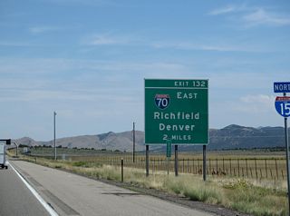
Interstate 70 commences east from the ensuing exit of I-15 to Richfield, Salina and Green River.
08/09/14
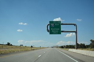
Traveling 231.85 miles east to the Colorado state line en route to Grand Junction and Denver, Interstate 70 traverses some of the most desolate regions on the Interstate Highway System.
07/15/17

Freemont Indian State Park lies along Interstate 70 at Exit 17. Capital Reef National Park lies far to the southeast via I-70 to Exit 48 and SR 24.
08/09/14
Photo Credits:
08/09/14, 07/15/17 by AARoads
Connect with:
Interstate 70
Business Loop I-15 - Beaver
Page Updated 02-12-2022.


