 North
North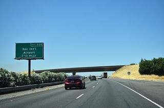
Leaving the split with SR 99 in northern reaches of Sacramento, I-5 turns west to Sacramento International Airport (SMF) and Woodland in adjacent Yolo County.
07/10/18

Metro Air Parkway meets I-5 next at a diamond interchange (Exit 527) ahead of Airport Boulevard to SMF Airport. Exit 527 opened to traffic late 2021.
07/10/18

Gusty winds are frequent along the ensuing 12 mile stretch of I-5 to Woodland. Redding represents the second largest city north of Sacramento 155 miles ahead.
07/10/18

Built one mile ahead of Airport Boulevard, Exit 527 connects I-5 with Metro Air Park, a 1900 acre site designed to spur industrial growth in northwestern Sacramento.
07/10/18

Airport Boulevard and N Bayou Way join Interstate 5 with Garden Highway, which parallels the Sacramento River west of SMF Airport.
07/10/18

A Right-In Right-Out (RIRO) joins I-5 with Road 22 and Old River Road in one mile at Exit 531. Old River Road represents a former alignment of SR 16-24 between Woodland and Sacramento.
07/10/18
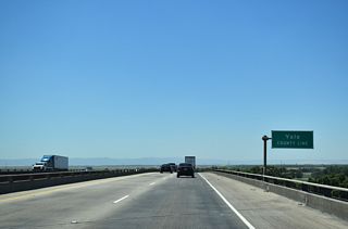
Interstate 5 crosses over Garden Highway and the Sacramento River into Yolo County on 1969 built spans ahead of Road 22 at Exit 531.
07/10/18

Road 22 lines I-5 west to SR 16 (Main Street) in Woodland while Old River Road extends southeast following the Sacramento River back into Sacramento.
07/10/18
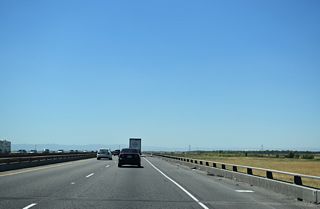
I-5 spans the Yolo Bypass beyond Exit 531 (Road 22) along the Elkhorn Causeway. The bypass is used to carry floodwater around the Sacramento area.
07/10/18
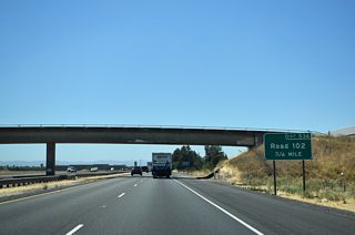
The first of three interchanges serving Woodland is 0.75 miles ahead at Exit 536 to Road 102 along Interstate 5 north.
07/10/18

Road 102 extends north 8.9 miles from Exit 536 to the center of Knights Landing along the Sacramento River.
07/10/18
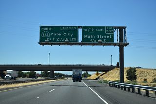
Three quarters of a mile separate I-5 from a half diamond interchange (Exit 537) with Main Street (I-5 Business) west to SR 113 south.
07/10/18
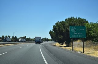
Exit 537 joins I-5 north with SR 113 south to Davis. SR 113 extends south along a freeway between Woodland and I-80 southwest of the Davis city center.
07/10/18
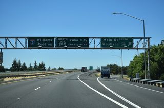
I-5 Business overlays Main Street west through Woodland, turning north along SR 16 at Browns Corner for a return to I-5 at Exit 541.
07/10/18

 North
North
SR 113 joins I-5 north for a brief overlap to a folded diamond interchange (Exit 538) in the northern reaches of Woodland.
07/10/18
 North
North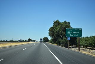
Leaving Woodland behind, Interstate 5 next meets SR 16 / Road 18 and the return of the Woodland business loop.
07/10/18

SR 16 initially runs tandem with I-5 Business south to W Main Street at Browns Corner before turning west for Esparto. Road 18 continues east from Exit 541 to SR 113.
07/11/18
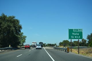
Interstate 5/Road 99W (former U.S. 99W) and the California Northern Railroad (CFNR) line all span Cache Creek ahead of a diamond interchange (Exit 542) to Road 17.
07/11/18
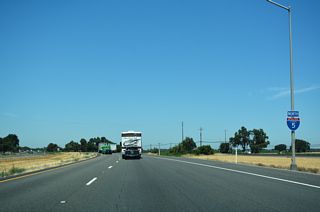
Advancing from Yolo, Road 99W continues to follow close to I-5 northwest to Zamora and Dunnigan.
07/11/18

The western half of the Path 15 Pacific Gas & Electric (PG&E) transmission lines span I-5 at Exit 548 to Road 13. This line travels north toward Sutter Buttes and Oroville, eventually crossing into Oregon east of Malin.
07/11/18

Interstate 505 north crosses overhead one mile ahead of a diamond interchange (Exit 554) with Road 8 near Dunnigan. I-505 joins I-5 south with I-80 in Vacaville.
07/11/18
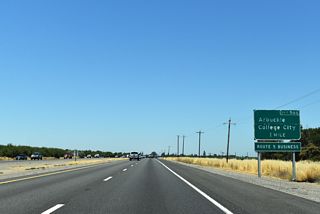
Exit 566 to 5th Street (I-5 Business) and Hillgate Road is the first of two interchanges serving Arbuckle one mile ahead.
07/15/23
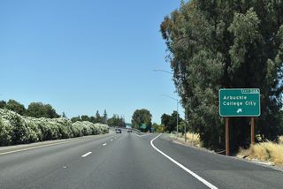
The Arbuckle business loop for Interstate 5 is 0.97 miles in length and generally follows 5th Street.
07/15/23
Photo Credits:
08/02/11, 07/10/18, 07/11/18, 07/15/23 by AARoads
Connect with:
Business Loop I-5 - Woodland
Business Loop I-5 - Arbuckle
State Route 16
Page Updated 12-16-2023.


