Sections of Interstate 5 were constructed through the Redding and Shasta Lake vicinity in the mid-1960s. Between 1965 and 1966, I-5 opened from the northern end of Cottonwood (Exit 665) to SR 273 (N Main Street) in northern Redding. The segment between Pine Grove Avenue (Exit 684) and O'Brien (Exit 695) opened to motorists in 1968. Beyond Old Oregon Trail (Exit 687) at Mountain Gate, I-5 was built over historic U.S. 99 to the Pit River (Veterans of Foreign Wars Memorial) Bridge across the Pit River Arm of Shasta Lake.
Originally built in 1941, concurrent with the construction of the Shasta Dam reservoir system1, the Pit River Bridge is a double deck span. Vehicular traffic (I-5) uses the upper deck while a Union Pacific railroad line travels across Shasta Lake on the lower deck.
The Pit River Bridge is also the only one along the Interstate System that is owned by the Federal Government, due to a joint use Maintenance and Operation Agreement with Union Pacific Rail.2 Caltrans, the Federal Highway Administration (FHWA), and the U.S. Bureau of Reclamation (USBR) are collaborating to either rehabilitate or replace the aging span prior to the expiration of the Agreement in 2040.2 Once the Agreement is extinguished, the Federal Government will no longer own the Pit River Bridge.
Caltrans schematic showing alternatives for the Pit River Bridge replacement along Interstate 5 across Shasta Lake, north of Redding. Three options include rehabilitating the aging bridge or replacement structures on one of two alignments.
 North
North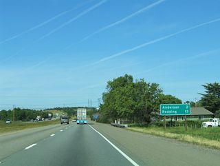
Interstate 5 advances from Cottonwood two miles north to Anderson. Downtown Redding is actually three miles further than what is listed on this distance sign.
03/31/05
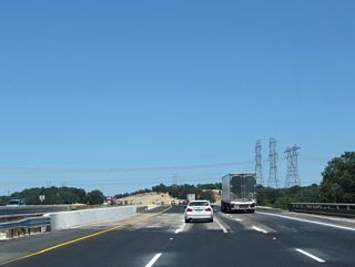
Passing over the southbound wye interchange (Exit 665) for Main Street, I-5 travels under the Pacific Gas and Electric (PG&E) Path 66 transmission lines ahead of Exit 667.
08/02/11
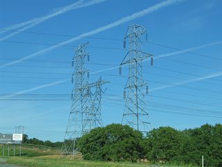
Regionally, Path 66 joins the Olinda substation located to the west of I-5 with the Captain Jack substation near Malin, Oregon. This set of lines are part of a larger corridor extending south from Washington and Oregon to California.3
03/31/05
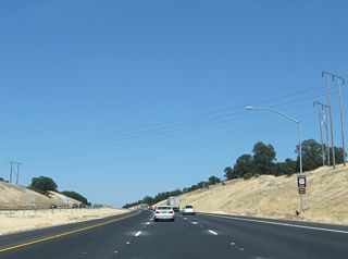
California State Route 273 branches northwest from I-5 at a wye interchange (Exit 667 A) next along a 16.61 mile course, following Historic U.S. 99 through Anderson and Redding.
08/02/11
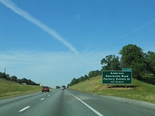
A separate interchange (Exit 667 B) was built to directly connect I-5 with Factory Outlets Drive and Deschutes Road by the end of 2012.4
03/31/05
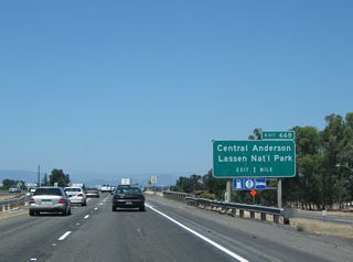
Spanning Factory Outlets Drive (Exit 667B), I-5 next meets Balls Ferry Road at a half diamond interchange (Exit 668).
08/02/11
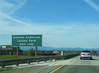
This sign referencing Lassen Volcanic National Park was removed sometime after September 2014.
03/31/05
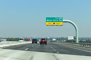
The ensuing stretch of I-5 through Anderson was widened to six lanes between November 2018 and 2021.5
07/13/21
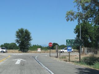
Redding Regional Airport (RDD) is located at the east end of Knighton Road, 1.90 miles from Interstate 5.
08/02/11
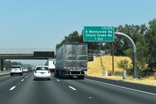
Exit 675 with Churn Creek Road and S Bonnyview Road represents the first of six interchanges with the city of Redding.
07/13/21
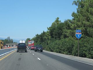
Road work completed February 2012 widened I-5 through Redding to six lanes, from south of S Bonnyview Road (Exit 675) to north of SR 299 (Exit 680).
08/02/11
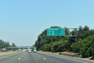
Cypress Avenue represents the former alignment of SR 44 into downtown Redding one half mile ahead.
07/13/21
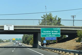
The Sundial Bridge, located at Turtle Bay Exploration Park, is a pedestrian bridge spanning the Sacramento River. Opened to foot traffic in June 2004, the crossing doubles as a working sundial.6
07/13/21
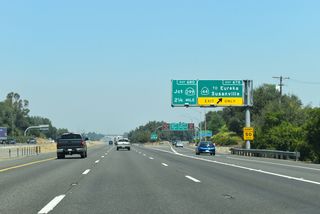
SR 44 leads east from Downtown along a five mile freeway to I-5 and eastern Redding. The state route continues from Palo Cedro and Shingletown to Lassen Volcanic National Park.
07/13/21
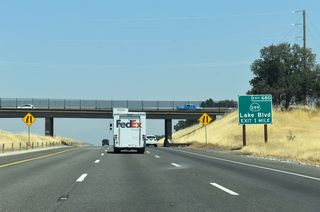
The next exit along I-5 north joins the freeway with SR 299 (Lake Boulevard) to downtown Redding and Eureka. Prior to 1964, the state route was U.S. 299.
07/13/21

SR 299 travels across northern SR 298.63 miles, connecting Eureka with Redding, Burney, and Alturas. The state route ends at the Nevada state line, becoming SR 8A in the Silver State.
03/31/05
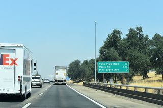
The three quarter mile advance sign for Twin View Boulevard (Exit 681) was replaced with this interchange sequence sign sometime after August 2016.
07/13/21
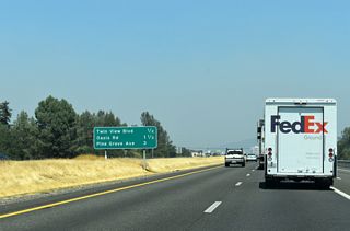
Oasis Road is the last interchange (Exit 682) within the Redding city limits one half mile ahead.
07/13/21
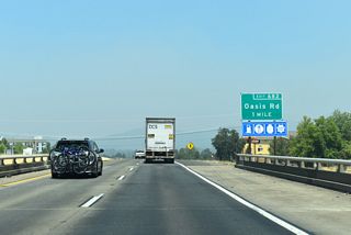
I-5 north meets Oasis Road beyond the merge of SR 273 (N Market Street) from a southbound only wye interchange (Exit 681 B).
07/13/21
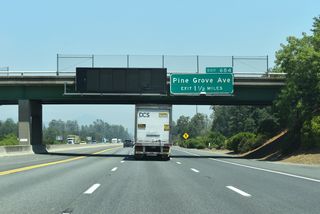
The first of two Shasta Lake interchanges is 1.50 miles ahead at Pine Grove Avenue (Exit 684). The city was incorporated July 2, 1993 and is made up of three communities: Project City, Central Valley, and Summit City.
07/13/21
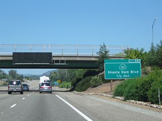
SR 151 joins I-5 with the Shasta Lake central business district at a trumpet interchange (Exit 685) in 0.75 miles.
08/02/11
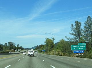
SR 151 winds nearly seven miles westward to Shasta Dam, which was built to retain water from the Sacramento River for long term storage. Completed by 1945, the dam served to create Shasta Lake, the largest reservoir in the Golden State.
03/31/05
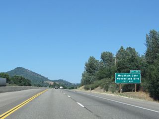
Leaving the greater Central Valley region, I-5 advances northward to Shasta Lake and the eastern edge of the Trinity Mountain range.
08/02/11
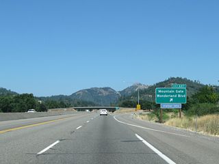
Old Oregon Trail leads to Wonderland Boulevard (Historic U.S. 99) at Exit 687 along Interstate 5 north.
08/02/11
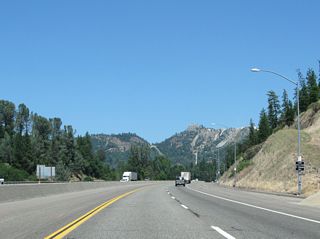
A pull off area for tire chain installation precedes the diamond interchange (Exit 689) with Fawndale Road.
08/02/11
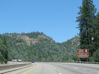
Interstate 5 enters the Shasta-Trinity National Forest ahead of the interchange (Exit 690) with Bridge Bay Road.
08/02/11
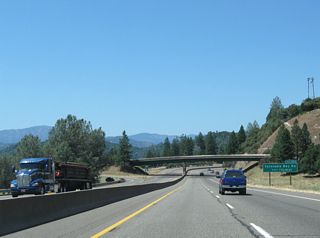
I-5 meets Turntable Bay Road 1.50 miles ahead beyond the Pit River Bridge crossing at Shasta Lake.
08/02/11
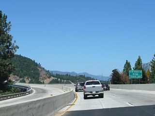
I-5 spans the Pit River Arm of Shasta Lake on the 1941 built Pit River (Veterans of Foreign Wars Memorial) Bridge. The crossing is 3,588.1 feet in length.7
08/02/11
- Pit River Bridge (Wikipedia), retrieved February 1, 2023.
- Pit River Bridge Rehab/Replacement Project (Caltrans District 2 Current Projects), retrieved February 1, 2023.
- Path 66 (Wikipedia), retrieved January 29, 2023.
- I-5/Deschutes Road NB Off-Ramp (Caltrans Bond Information - https://bondaccountability.dot.ca.gov), retrieved January 29, 2023.
- "$65.7 Million Approved for the Redding to Anderson Six-Lane Project on I-5", (Caltrans News Releases), retrieved January 29, 2023.
- Sundial Bridge (Turtle Bay Exploration Park), retrieved February 3, 2023.
- I-5 Pit River Bridge (bridgehunter.com), retrieved February 1, 2023.
Photo Credits:
- 03/31/05 by AARoads.
- 08/02/11 by AARoads.
- 07/13/21 by JP Nasiatka.
Page Updated 02-03-2023.


