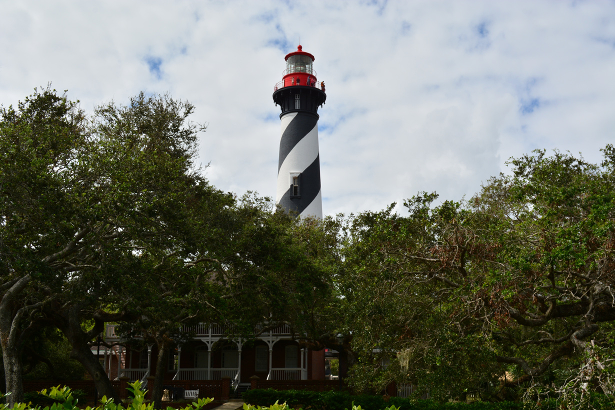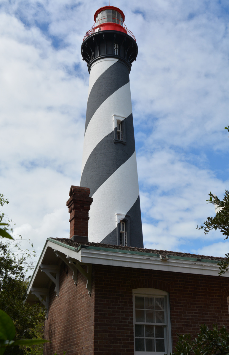
Located just east of SR A1A on Anastasia Island, the St. Augustine Light House & Maritime Museum is one of the attractions in Historic St. Augustine. Constructed from 1871 to 1874, St. Augustine Lighthouse is 165 feet high. 10/15/17
 North
North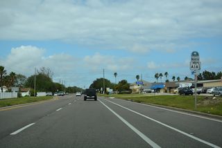
Old A1A converges with SR A1A north from A1A Beach Boulevard ahead of this confirming marker posted by Grandview Road.
10/15/17
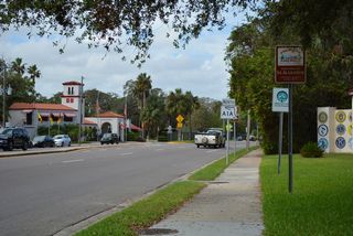
SR A1A passes St. Augustine Alligator Farm Zoological Park north of Red Cox Drive and Old Quarry Road.
10/15/17
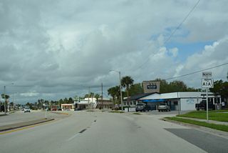
SR A1A curves west from Anastasia and the north end of Anastasia Island toward the Bridge of Lions.
10/15/17
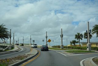
A RIRO intersection joins SR A1A northbound with N St. Augustine Boulevard ahead of the Bridge of Lions.
10/15/17
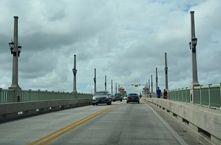
The Bridge of Lions is a bascule bridge spanning the Matanzas River / Intracoastal Waterway.
10/15/17
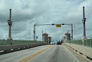
The Bridge of Lions crosses the Intracoastal Waterway with a vertical clearance of 16.4 feet.1
10/15/17
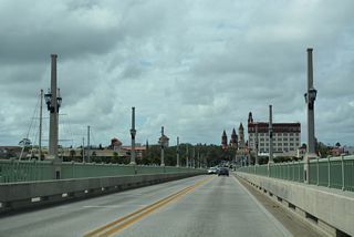
Supported by arch-shaped deck plate girder spans, the Bridge of Lions measures 1,545 feet in length.2
10/15/17
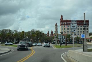
SR A1A turns north from the Bridge of Lions onto Avenida Menendez along the west banks of the Matanzas River to Castillo de San Marcos National Monument.
10/15/17
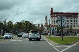
Decommissioned in 2022, U.S. 1 Business formerly combined with SR A1A north to 1.34 miles to May Street. The business route south follows Cathedral Place west from SR A1A to Cordova Street and King Street back to U.S. 1.
10/15/17
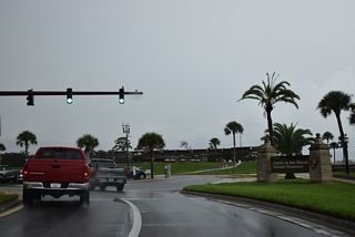
SR A1A curves west off Avenida Menendez and onto S Castillo Drive at Cuna Street and Castillo de San Marcos National Monument.
09/13/22
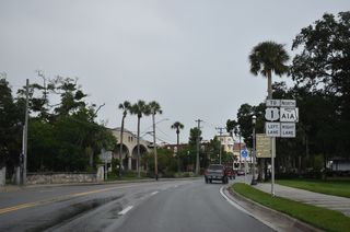
Forthcoming W Castillo Drive links SR A1A (S Castillo Drive) with U.S. 1 (Ponce De Leon Boulevard).
09/13/22
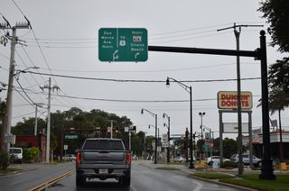
San Carlos Avenue ties into SR A1A (San Marco Avenue) at the Horseshoe Bend jughandle intersection with May Street.
09/13/22
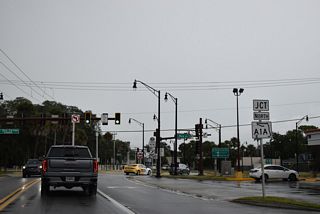
SR A1A turns east from San Marco Avenue along May Street from the Horseshoe Bend jughandle intersection.
09/13/22
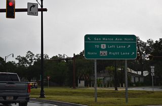
The jughandle intersections joining San Marco Street with San Carlos Avenue west and May Street east were rebuilt during construction from 2017 to 2021.
09/13/22
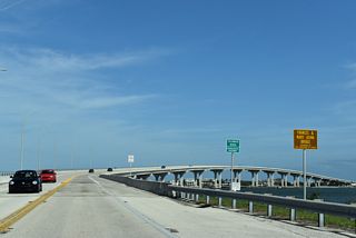
SR A1A ascends across the Tolomato River / Intracoastal Water on the Frances & Mary Usina Bridge.
11/06/19
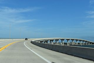
SR A1A leaves the St. Augustine city limits at the Tolomato River and continues east across the waterway into Vilano Beach.
11/06/19
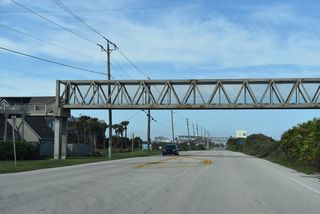
The pedestrian bridge spanning SR A1A (Coastal Highway) by Carcaba Road was erected in 1986.3
11/06/19
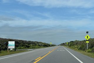
SR A1A north at the Guana Tolomato Matanzas (GTM) National Estuarine Research Reserve South Beach Access parking area.
11/06/19
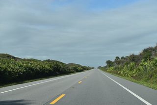
SR A1A proceeds north along a narrow strip of land within the GTM National Estuarine Research Reserve between the Guana River and Atlantic Ocean.
11/06/19
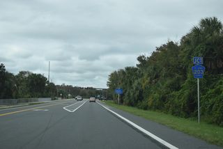
CR 203 (Ponte Vedra Beach) loops east from SR A1A to run along the Atlantic Ocean 7.28 miles north to Jacksonville Beach.
11/06/19
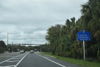
SR A1A shifts inland while CR 203 (Ponte Vedra Boulevard) travels east of marshland to Mickler Beach.
11/06/19
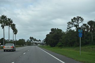
CR 210 (Palm Valley Road) connects Ponte Vedra Beach and Palm Valley with the St. Johns County mainland west of the Intracoastal Waterway.
11/06/19
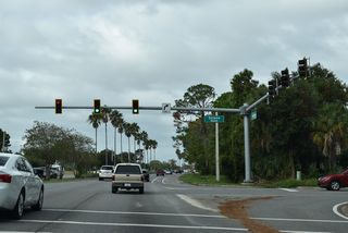
Solona Road is unsigned CR 210A, an 8.37 mile long loop south to CR 210 at Palm Valley and east from SR A1A to CR 203 (Ponte Vedra Boulevard).
11/06/19
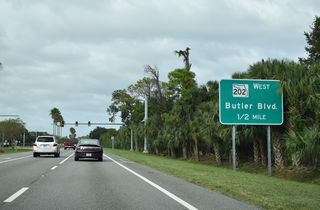
SR A1A intersects Marlin Avenue west a half mile south of the trumpet interchange with SR 202 (J. Turner Butler Boulevard).
11/06/19
Sources:
- SR-A1A (B.O.Lions) over Matanzas River IWW. BridgeReports.com.
- Bridge of Lions. BridgeHunter.com.
- Pedestrian Overpass over SR-A1A. BridgeReports.com.
Photo Credits:
- 10/15/17 by AARoads.
- 11/06/19 by AARoads and JP Nasiatka.
- 09/13/22 by AARoads.
Connect with:
Former U.S. 1 Business - St. Augustine
State Road 202 - J. Turner Butler Boulevard
County Road 210
Page Updated 09-23-2022.

