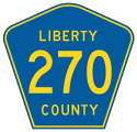

There are six branches of County Road 270 assigned in Liberty and Gadsden Counties in the Big Bend region of Florida. Located in Liberty County, the westernmost section follows Martin Luther King Road 7.72 miles north from SR 12 to Sweetwater and CR 1641 by Torreya State Park. 2.1 miles to the east at Rock Bluff, the second segment of CR 270 in Liberty County heads north from CR 1641, 3.92 miles to the Gadsden County line. Traveling east along Sycamore Road, this branch of CR 270 continues 9.23 miles to Sycamore and SR 12 in the Greensboro business district.
Separate legs of CR 270 stem north from SR 12 in Greensboro eastward. A 1.93 mile route links SR 12 (Selman Street) with CR 270A (Flat Creek Road) along Tolar-White Road. CR 270 along Bassett Road provides a connection from SR 12 east of I-10, 2.85 miles northeast to CR 268 (Church Street) in Gretna.
The northern portion of CR 270 lines Woodward Road 4.11 miles east from CR 65 (Attapulgus Highway) to CR 161 (Point Milligan Road). The eastern branch of CR 270 joins SR 12 (Havana Highway) east of Quincy and Shady Rest with U.S. 27 north of the Leon County line and Tallahassee. Following Shady Rest Road, this section of CR 270 navigates along a 6.51 mile course through Scotland and Gibson.
Florida State Secondary 270 was designated along Sycamore Road east from Liberty County to SR 12 in Greensboro by 1949. The branch connecting SR 12 with Gretna was assigned by 1954. Secondary 270 along Shady Rest Road was designated by January 1956. Further changes were made by October 1956, with Secondary 270 extended west from Bassett Road along Flat Creek Road (CR 270A) and south along Tolar-White Road. S-270A was also designated along the remainder of Flat Creek Road west to S-269. Secondary 270 along Woodward Road was assigned by 1958.
S-270 along Flat Creek Road was replaced by an eastward extension of S-270A to SR 12 by 1972. S-270A was also designated along Luten Road between Gretna and S-268 northwest of Quincy. Within Liberty County, CR 270 along Turkey Creek Road north from SR 20 was removed after 1989.
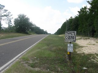
The first marker for CR 270 leading north from SR 12 was this keys shield. It was replaced by 2013.
06/27/09
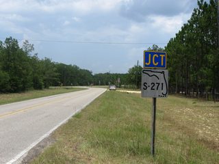
CR 270 (Martin L. King Road) travels 7.72 miles north from SR 12 to CR 1641 (Torreya Park Road).
06/27/09
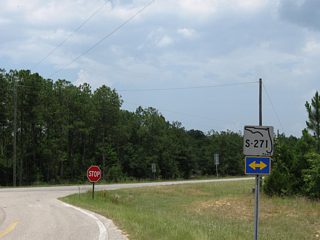
Keys shields referencing former S-271 were replaced by 2011 with markers for County Road 1641.
06/27/09
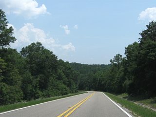
Heading south from CR 1641 along Martin L. King Road, CR 270 lowers to cross Sweetwater Creek.
06/27/09
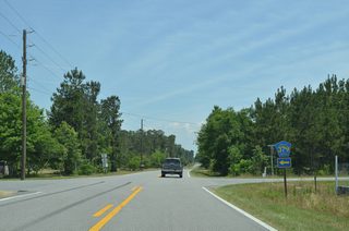
CR 379 crosses CR 270 (Sycamore Road) north from CR 269B (Juniper Road) to CR 270A (Flat Creek Road).
05/16/16
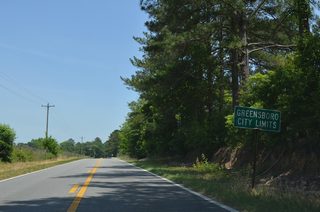
CR 270 progresses east from unmarked intersections with CR 483 (Matthew Creek Road) south and CR 270B (Lonnie Clark Road) north into the city of Greensboro.
05/16/16
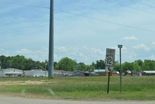
CR 270 shifts onto Selman Street to meet SR 12 (Green Avenue) directly in Greensboro. Coleman Avenue heads south to SR 12 as well.
05/16/16
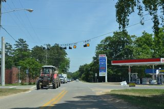
CR 270 (Selman Street) east at the turn of SR 12 from Green Avenue. The adjacent branch of CR 270 heads north from SR 12 in two blocks at Tolar-White Road.
05/16/16
Photo Credits:
06/27/09, 11/24/15, 01/16/16, 05/16/16 by AARoads
Connect with:
U.S. 27
State Road 12
County Road 268
County Road 269
County Road 270A
County Road 379
County Road 1641
Page Updated 04-22-2020.


