
Beginning at a directional T-interchange with Interstate 10 (Papago Freeway) overlaying 59th Avenue, Loop 202 extends south through western Phoenix neighborhoods before turning southeast at Laveen Village. Loop 202 wedges between the South Mountains range and Gila River Indian Reservation as the freeway continues south and east to the Ahwatukee Foothills urban village. The South Mountain Freeway concludes at a systems interchange with I-10 and the Santan Freeway, with Loop 202 advancing east along the Santan Freeway into central Chandler.
 South
South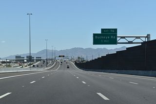
With auxiliary and HOV lanes, Loop 202 (South Mountain Freeway) constitutes a ten lane highway between I-10 and Exit 76 for Buckeye Road.
05/31/21
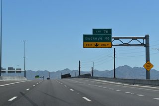
Buckeye Road meets the South Mountain Freeway between Estrelle Commerce Park and the Freeport Center in an area populated with industrial parks.
05/31/21
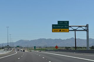
Buckeye Road west to Tolleson, Avondale and Goodyear and east to Downtown Phoenix historically was part of SR 85 and U.S. 80.
05/31/21
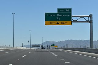
Lower Buckeye Road east leads to Prologic Park Riverside, VJM Industrial Park and other business centers.
05/31/21
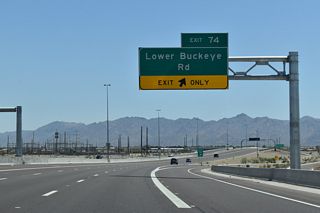
West from the diamond interchange at Exit 74, Lower Buckeye Road passes between the Park at Terralea and Meadows subdivisions through suburban southwest Phoenix.
05/31/21
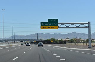
Loop 202 passes between units of the Rio Del Rey subdivision south into the diamond interchange (Exit 73) with Broadway Road.
05/31/21
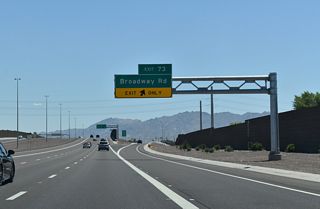
Broadway Road parallels the Salt River east to S 51st Avenue at the Riverbend development. West from Exit 73, Broadway Road continues to the Sunset Farms development and into Avondale at S 107th Avenue.
05/31/21
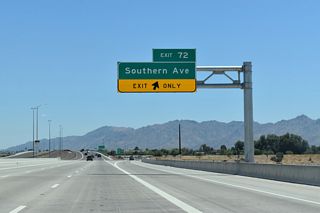
Southern Avenue connects the South Mountain Freeway with suburban development in both directions of the diamond interchange at Exit 72.
05/31/21
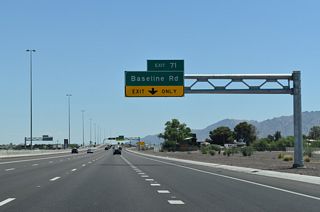
Loop 202 bends east to the diamond interchange (Exit 71) with Baseline Road past the Rancho Grande neighborhood.
05/31/21
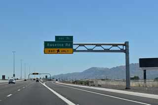
Baseline Road leads east to South Mountain Village and west to the Laveen Farms and Laveen Meadows subdivisions.
05/31/21
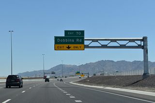
Continuing across agricultural areas, Loop 202 navigates through an S-curve to the diamond interchange (Exit 70) with Dobbins Road.
05/31/21
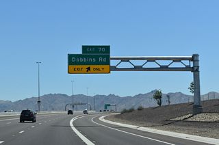
Dobbins Road runs east to the Laveen Estates, Dobbins Point and Dobbins Village neighborhoods.
05/31/21
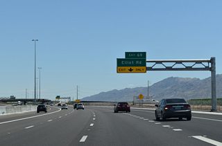
Loop 202 begins a gradual southeastern turn around the South Mountains ahead of the diamond interchange (Exit 69) with Elliot Road.
05/31/21
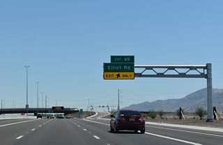
Elliot Road connects Loop 202 with newer subdivisions including Ellison Trails, Legacy at Hudson and Tierra Montana.
05/31/21

Looking southwest across the Gila River Indian Reservation toward the Sierra Estrella mountains.
05/31/21

Clearing the South Mountains, Loop 202 curves east by the Promontory at Foothills West development.
05/31/21
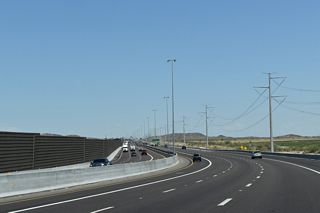
Sound walls separate Loop 202 from the Foothills Reserve development on the ensuing stretch eastbound.
05/31/21
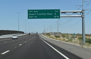
A half diverging diamond interchange connects Loop 202 with 17th Avenue north at the succeeding exit.
05/31/21
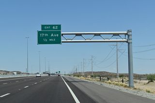
17th Avenue stems north from Exit 62 through the Foothills Club West golf course community to Chandler Boulevard.
05/31/21
 East
East
A diamond interchange at Exit 58 links Loop 202 with 24th Street by the Foothills Mountain Ranch development.
05/31/21
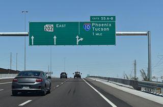
Loop 202 curves northeast from 40th Street to the systems interchange (Exit 55) with Interstate 10.
05/31/21
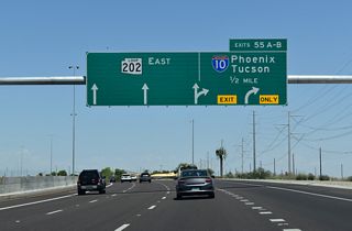
Exits 55 A/B separate from Loop 202 east in a half mile for I-10 (Maricopa Freeway) north along the Phoenix and Chandler city line to Tempe and Guadalupe.
05/31/21
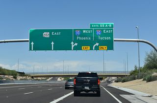
Interstate 10 east enters the Gila River Indian Community just south of Loop 202. Passing Chandler, the freeway leads to Casa Grande, Eloy and Tucson.
05/31/21
Photo Credits:
- 04/26/17 by AARoads and Chris Kalina. 05/31/21 by AARoads.
Connect with:
Interstate 10
Page Updated 04-25-2022.


