

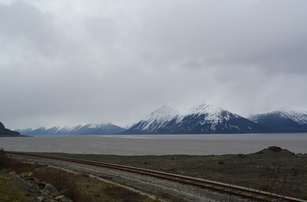
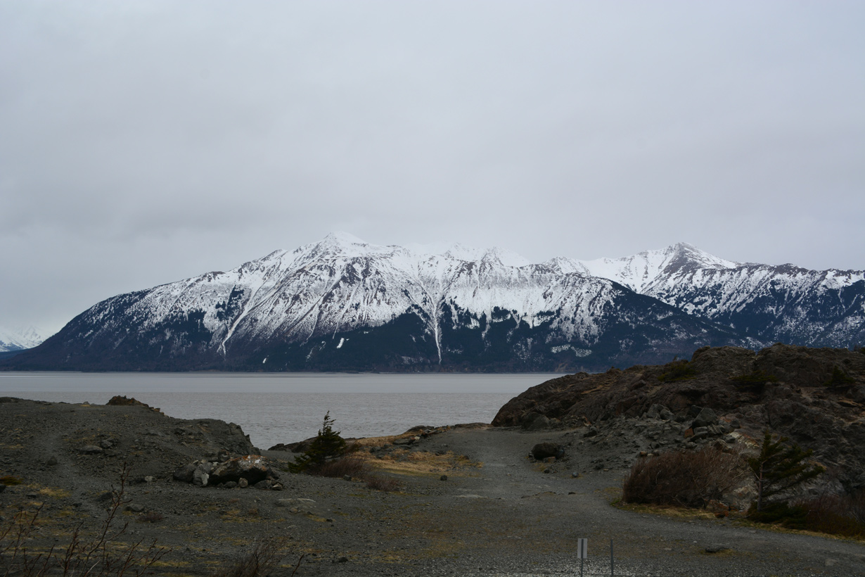
Views of Turnagain Arm and mountains on Kenai Peninsula from the vista point along SR 1 (Seward Highway) at Belluga Point. 05/09/23, 05/13/23
 South
South
Gambell Street south at SR 1 southbound, 5th Avenue and unsigned I-A3. Interstate A3 accompanies SR 1 south to Soldotna.
05/09/23

SR 1 (Gambell Street) south at 6th Avenue. Interstate A1 northbound begins at this intersection.
05/09/23

05/10/23

05/09/23

Gambell Street south at 15th Avenue.
05/09/23

SR 1 (Gambell Street) transitions onto Seward Highway south at Chester Creek. The succeeding traffic light southbound is at Fireweed Lane.
05/09/23

05/09/23

05/09/23

SR 1 transitions into a freeway south of 36th Avenue. Future road work converts this signalized interchange into a diamond interchange.
05/09/23

05/09/23

05/09/23

05/09/23

05/09/23

05/09/23

05/09/23

05/09/23

05/09/23

05/09/23

05/09/23

05/09/23

05/09/23

05/09/23

05/09/23

05/09/23

05/09/23

05/09/23

05/09/23

05/09/23

05/09/23

05/09/23

05/09/23

05/09/23

05/09/23

05/09/23

05/09/23

05/09/23

05/09/23

154th Avenue ties into SR 1 (Seward Highway) from Anchorage Coastal Wildlife Refuge just south beyond the freeway end.
05/09/23

SR 1 travels with two lanes plus occasional passing lanes from Anchorage south to Girdwood and Soldotna on the Kenai Peninsula.
05/09/23

SR 1 is an Alaska Scenic Byway from Potter Marsh southward.
05/09/23

05/09/23

Potter Valley Road stems 1.96 miles east from SR 1 to Old Seward Highway (former SR 1) and the South Creek and Paradise Valley neighborhoods.
05/09/23

SR 1 (Seward Highway) south enters Chugach State Park beyond Potter Marsh.
05/09/23

05/09/23

05/09/23

05/09/23

05/09/23

05/09/23

05/09/23

05/09/23

05/09/23

Belluga Point
05/13/23

05/09/23

05/09/23

05/09/23

05/09/23

05/13/23

05/09/23

05/13/23

05/09/23

05/09/23

05/09/23

05/09/23

05/09/23

05/09/23

05/09/23

05/09/23

SR 1 (Seward Highway) south at Sawmill Road in the community of Bird Creek.
05/09/23

05/09/23

05/09/23

SR 1 expands with passing lanes south of Seward Highway mile marker 99.
05/09/23

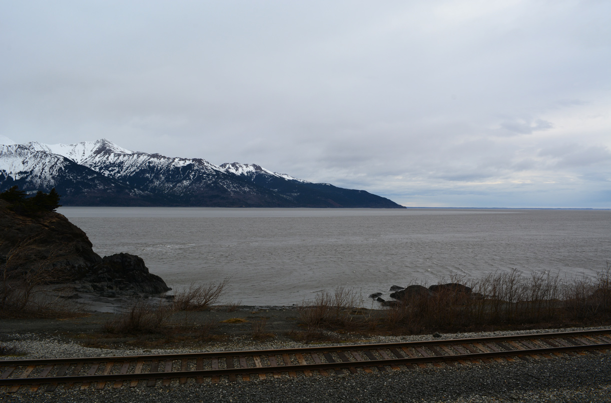
Low tide on Turnagain Arm exposes the mud flats. With a height of six feet or more, the arrival of the bore tide quickly submerges these low lying areas. A tide swing of 27 feet between low and high tides are required to generate a significant bore tide wave.1
05/13/23

05/09/23

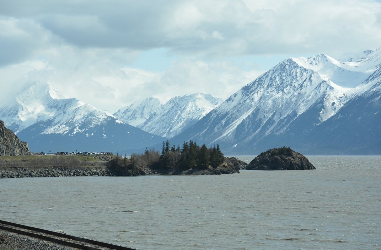
Waters from Turnagain Arm open westward beyond the mud flats by Bird Point.
05/09/23

SR 1 south at the Bird Point vista point.
05/09/23


Sources:
- The Alaska Bore Tide: What, When, Where, Why & Who. Everything you need to know about Girdwood, Alaska web site.
Photo Credits:
05/09/23, 05/10/23, 05/13/23 by AARoads
Connect with:
Walter J. Hickel Parkway - Anchorage
Page Updated 06-07-2023.