
 North
North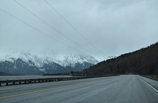
SR 1 (Seward Highway) expands with passing lanes in both directions west ahead of mile marker 95.
05/10/23
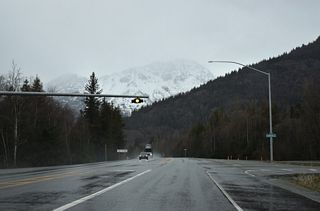
A flasher operates along SR 1 (Seward Highway) at Sawmill Road and the Bird Creek community.
05/10/23
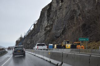
The Seward Highway Rockfall Mitigation Project performs stabilization work to mitigate rockfall sites along SR 1 between Girdwood and Anchorage. Addressing the highest likely areas for rockfalls, the project runs to July 2023.1
05/10/23
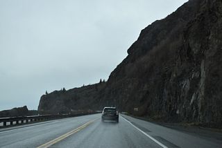
The Seward Highway Rock Fall Mitigation project commenced in March 2020 between mileposts 108 and 110. Mitigation measures including installing wire mesh, rock bolting and scaling, the removal of specific rocks.2
05/10/23
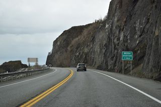
A weigh station follows the northerly turn at Seward Highway milepost 114 along SR 1 northbound.
05/10/23
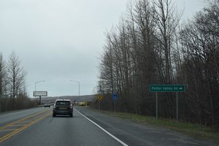
Potter Valley Road stems 1.96 miles east from SR 1 to the South Creek and Paradise Valley subdivisions. Old Seward Highway (former SR 1) branches north from the road just east of SR 1.
05/10/23
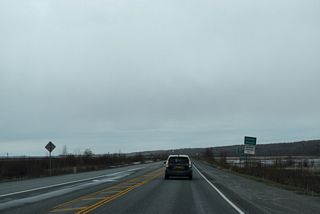
Potter Marsh separates SR 1 (Seward Highway) along Turnagain Arm with Old Seward Highway (former SR 1).
05/10/23
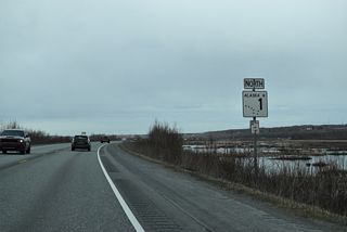
The first reassurance marker posted for SR 1 northbound since SR 9 and the end of Sterling Highway, 79 miles to the south.
05/10/23
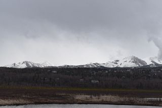
Flattop Mountain and Ptarmigan Peak rise along the eastern horizon beyond the southern Anchorage suburbs.
05/10/23
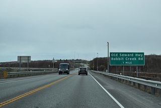
SR 1 (Seward Highway) upgrades to a limited access freeway north at 154th Avenue. A folded diamond interchange follows with Old Seward Highway north and Rabbit Creek Road east.
05/10/23
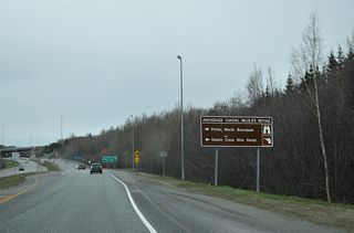
154th Avenue connects SR 1 (Seward Highway) with Anchorage Coastal Wildlife Refuge and the Potter Marsh Boardwalk.
05/10/23
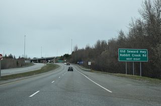
Rabbit Creek Road winds 4.14 miles east from SR 1 and Old Seward Highway to De Armoun Road and Hillside Drive in southeast Anchorage.
05/10/23
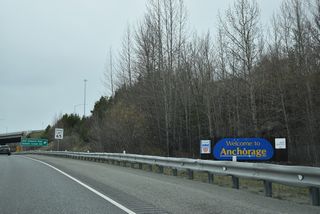
The city of Anchorage welcome sign precedes the exchange with Old Rabbit Road on SR 1 north.
05/10/23
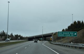
Old Seward Highway shifts west of the freeway along SR 1 northward 7.37 miles to Seward Highway at Midtown in Anchorage.
05/10/23
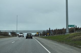
A half diamond interchange links De Armoun Road with SR 1 (Seward Highway) northbound by a pedestrian bridge for Rabbit Creek Elementary School.
05/10/23
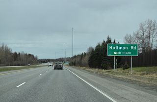
Huffman Road meets SR 1 (Seward Highway) at a dumbbell interchange adjacent to Carrs Huffman Shopping Center.
05/10/23
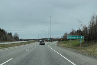
Huffman Road is an arterial extending 1.98 miles east from adjacent Old Seward Highway to Elmore Road at Huffman Park.
05/10/23
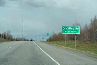
Continuing north, SR 1 (Seward Highway) next meets O'Malley Road. O'Malley Road west upgrades to Walter J. Hickel Parkway, a limited access expressway north to Minnesota Drive, at parallel Old Seward Highway.
05/10/23
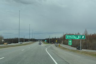
Construction anticipated for 2014 converts the diamond interchange joining SR 1 and O'Malley Road into a DDI.3 Walkter J. Hickel Parkway north connects Seward Highway with Ted Stevens Anchorage International Airport (ANC).
05/10/23
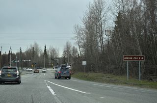
An arterial route, O'Malley Road runs 3.87 miles east from Old Seward Highway to Alaska Zoo and Hillside Drive.
05/10/23
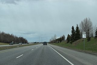
The Seward Highway: O'Malley Road to Dimond Boulevard project also expands SR 1 to six overall lanes northward to a new dogbone interchange with Scooter Avenue west and Academy Drive east.3
05/10/23
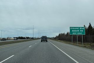
A parclo interchange with Dimond Boulevard west and Abbott Road east follows the future exchange with Academy Drive.
05/10/23
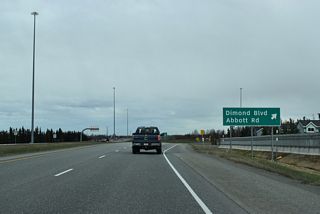
Dimond Center mall anchors the retail area spreading west along Dimond Boulevard to C Street and southeast along Abbott Road to Lake Otis Parkway.
05/10/23
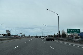
Dowling Road is a multi lane arterial stretching 3.45 miles east to Elmore Road and west through an industrial area ahead of Raspberry Road.
05/10/23

Auxiliary lanes expand SR 1 (Seward Highway) to eight overall lanes between Dowling Road and Tudor Road.
05/10/23
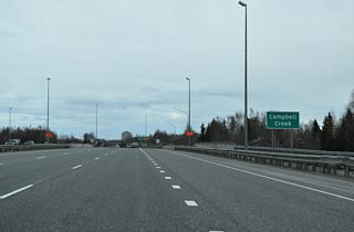
Advancing north, SR 1 (Seward Highway) crosses Campbell Creek ahead of the diamond interchange with Tudor Road.
05/10/23
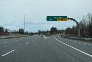
Tudor Road comprises a principal arterial west to Old Seward Highway and east to the University of Alaska Anchorage and Muldoon Road north.
05/10/23
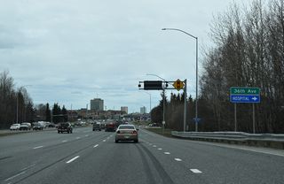
36th Avenue crosses SR 1 (Seward Highway) west from the University of Alaska Anchorage and east from Midtown.
05/10/23
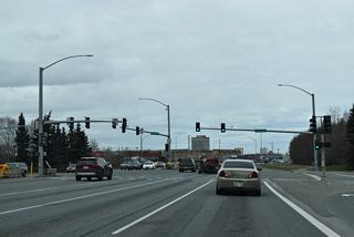
The future 36th Avenue Interchange Project replaces the signalized intersection along SR 1 with a diamond interchange.4
05/10/23
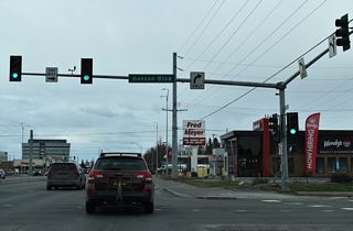
Benson Boulevard east forms an arterial couplet with Northern Lights Boulevard west around Midtown Mall.
05/10/23
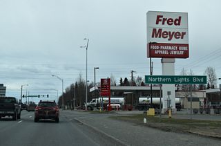
Northern Lights Boulevard runs 8.09 miles west from Muldoon Road to Lake Hood Drive and Earthquake Park.
05/10/23
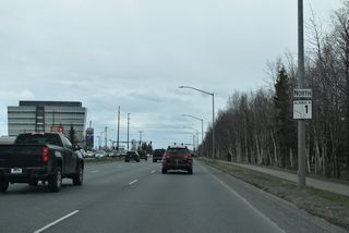
The Alaska Department of Transportation recorded 50,700 vehicles per day (vpd) along SR 1 south of Northern Lights Boulevard and 43,300 vpd north of the arterial in 2022.
05/10/23
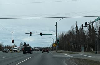
Fireweed Road runs along the north side of the commercial area west of Seward Highway and east to the Rogers Park neighborhood.
05/10/23
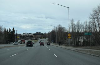
20th Avenue stems east to Eastchester Park and the Chester Park Estates apartment community.
05/10/23
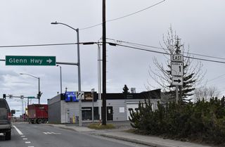
SR 1 turns east from Ingra Street onto E 6th Avenue. The remainder of SR 1 northeast to Tok is unsigned Interstate A1.
05/10/23
Sources:
- "Seward Highway Rockfall Mitigation Project Begins Today; Expect Traffic Delays." KSRM Radio Group (Kenai, AK), March 8, 2022.
- "DOT&PF will blast a large rock mass on Seward Highway at MP 108." State of Alaska, press release. March 18, 2020.
- Seward Highway: O'Malley Rd. to Dimond Blvd. http://www.sewardhighway.info/ Alaska Department of Transportation and Public Facilities, project web site.
- 36th Avenue Interchange Project. http://www.36thinterchange.com/ Alaska Department of Transportation and Public Facilities, project web site.
Photo Credits:
05/10/23 by AARoads
Connect with:
Walter J. Hickel Parkway - Anchorage
Page Updated 06-06-2023.


