
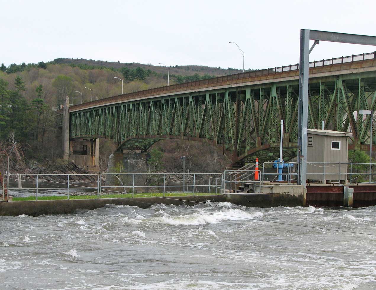
Lets take a look at Mass. Route 2 through north-central Massachusetts. Picture below is the French King bridge. The bridge takes its name from nearby French King Rock, which was in turn named by a French army officer during the French and Indian wars of the eighteenth century. The span opened September 10, 1932.
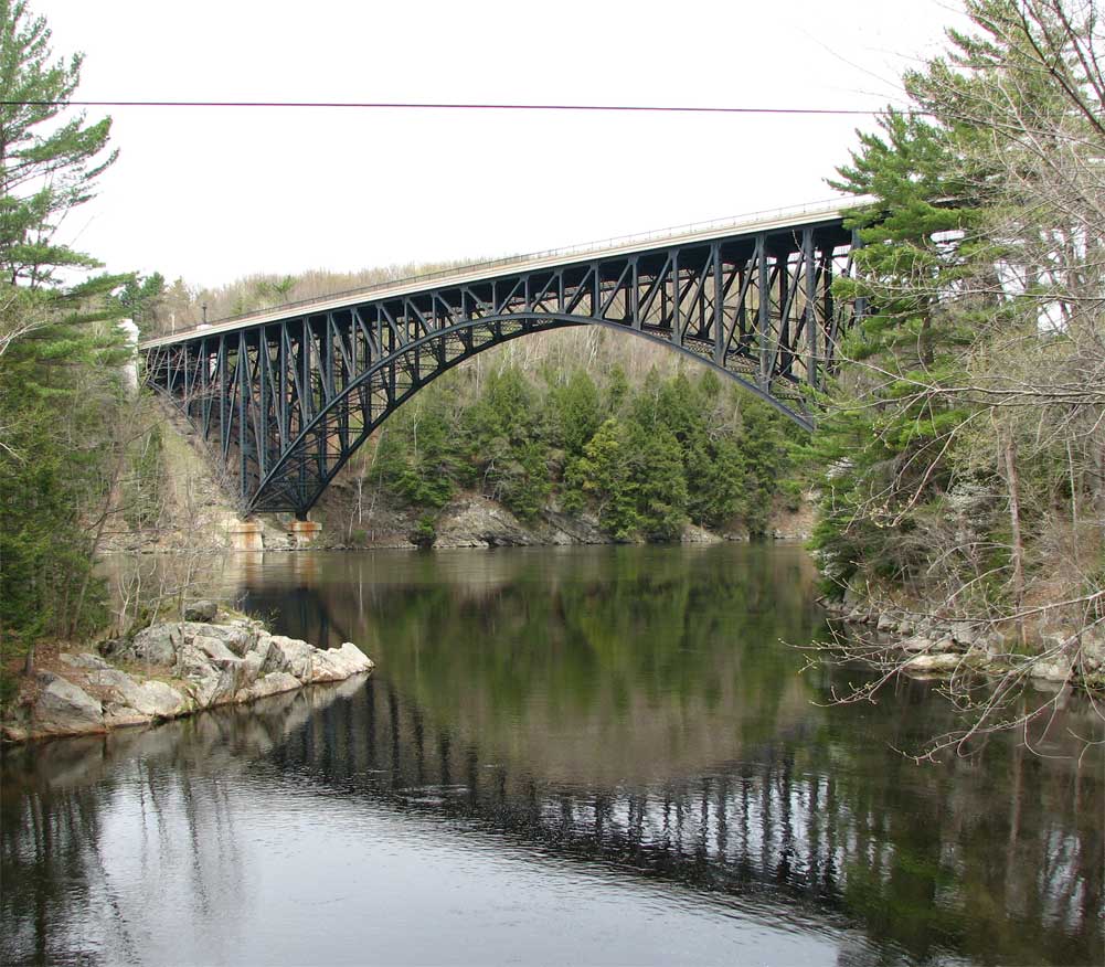
The French King bridge was constructed in 1932 to take Route 2 over the Connecticut River.
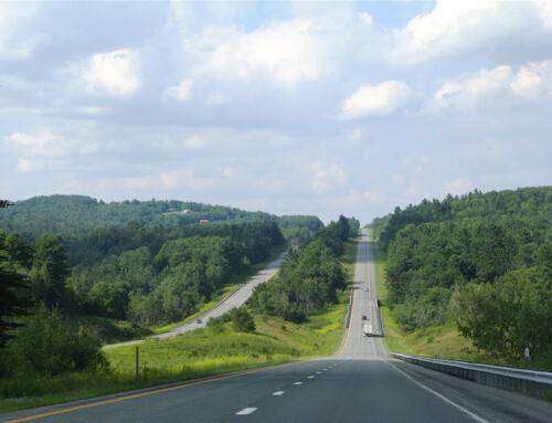
The rest of route 2 is a bit less dramatic than the graceful arch of the French King Bridge. From the northern terminus of I-190 at Leominster, the road stays a multilane freeway for several miles. It is by no means interstate standards, often lacking shoulders or a discernible median. Leominster is notable as the home of both Johnny Appleseed and the pink plastic lawn flamingo.
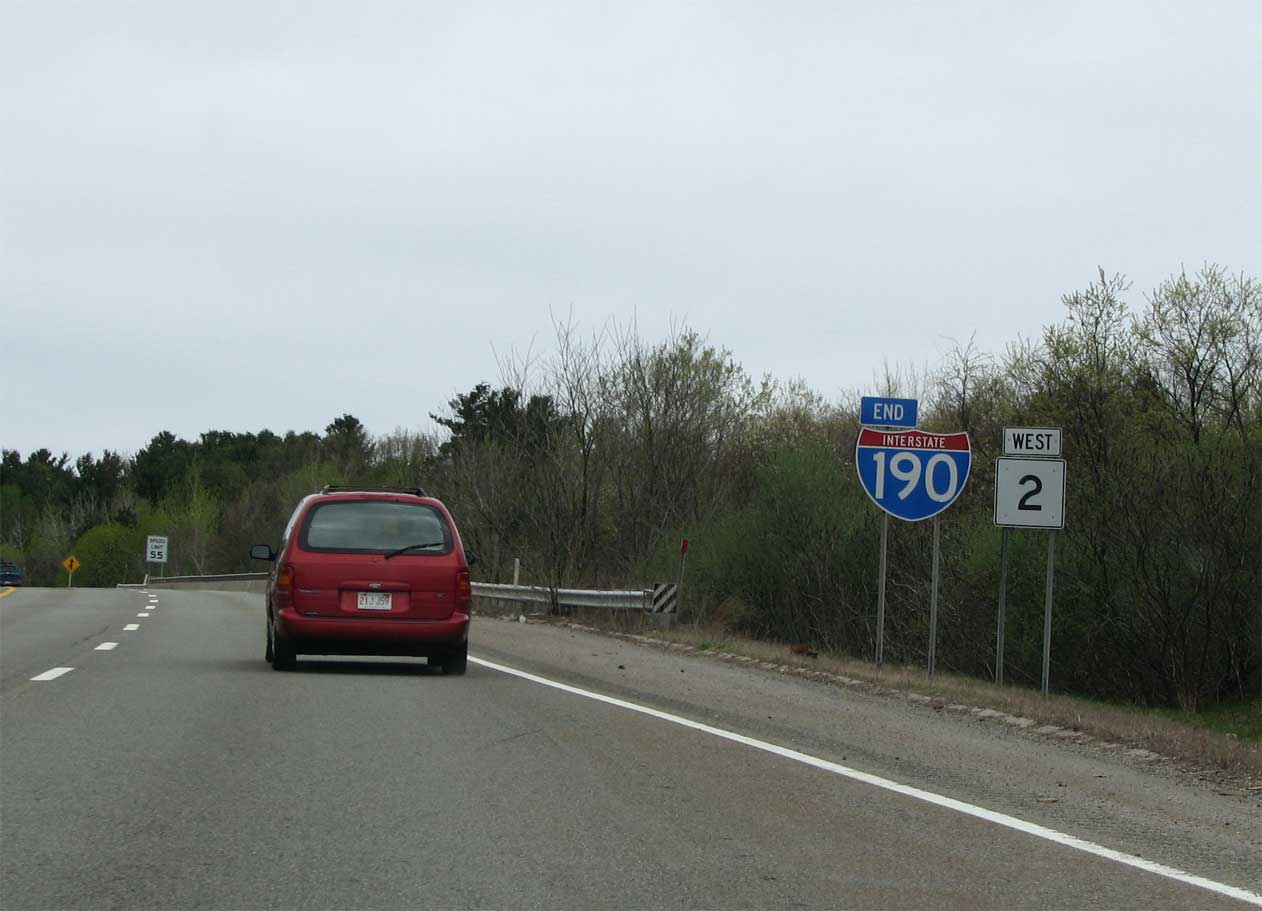
Route 2 extends west from the ending I-190.
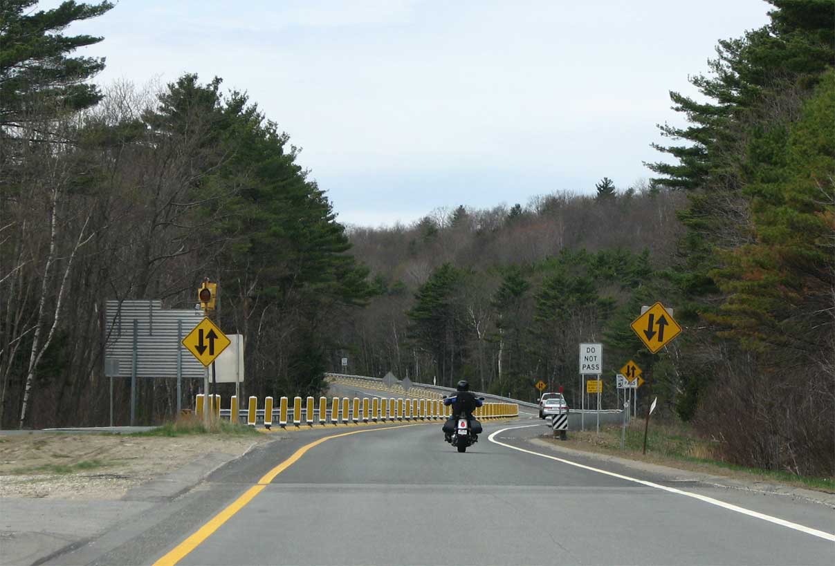
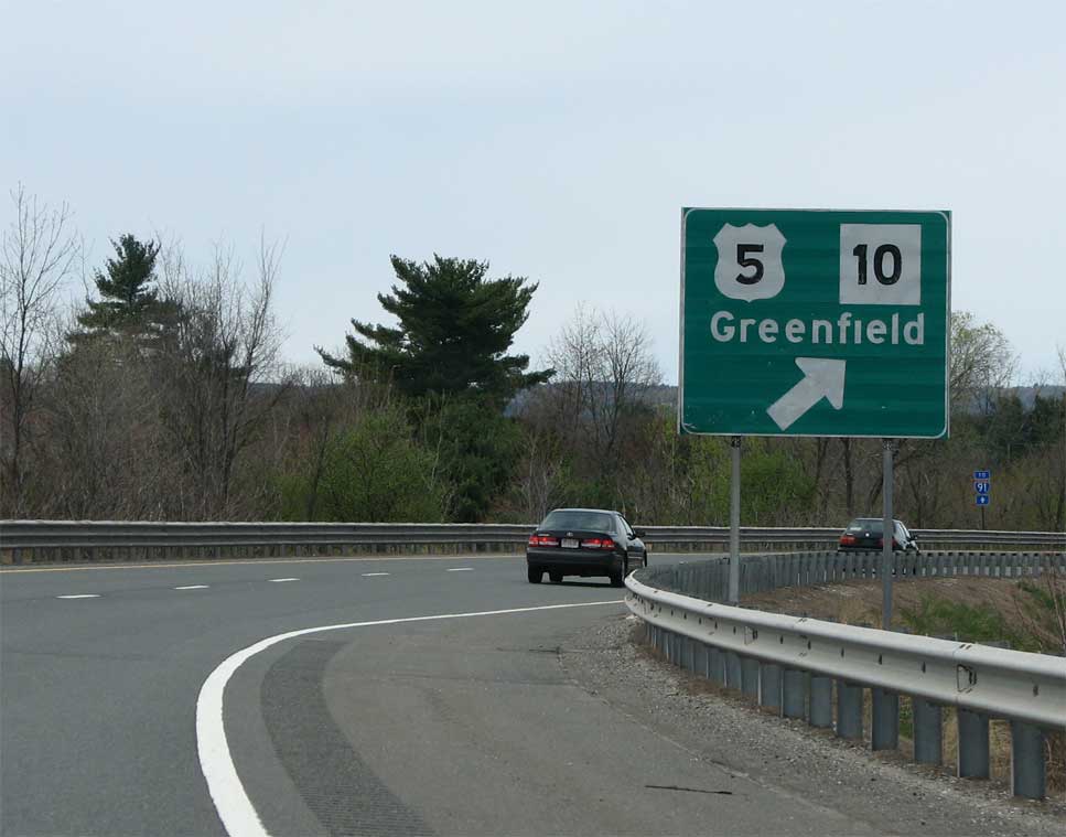
Route 2 has a short overlap with US 202 west of Templeton. At this point headed west, the road becomes a 2 lane expressway.
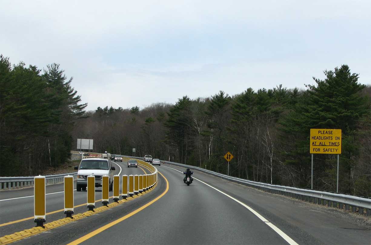
The center stripe for 2 miles is fitted with these vertical yellow dividers and signs implore drivers (with a “please”!) to keep their lights on.
I’m guessing this area may have been the scene of several nasty wrecks to warrant such over the top safety devices.
As US 202 leaves Route 2, the junction is signed really well. At every turn, it would appear, State Route 202 signs replace the US highway ones, as in the case below.
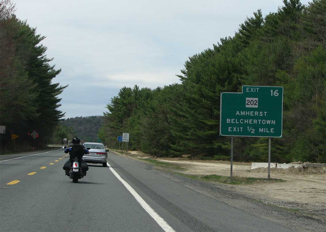
Erroneous Route 202 shield for U.S. 202 on Route 2 west.
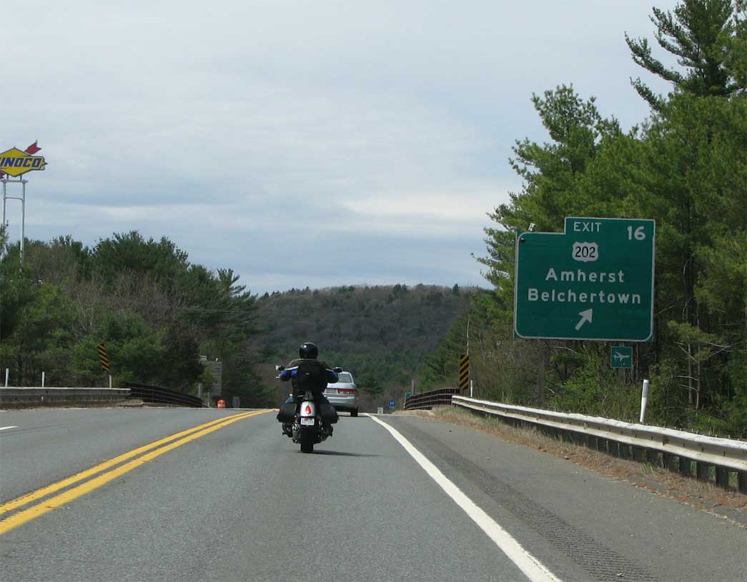
Route 2 west at the off-ramp for U.S. 202.
They get it right when it matters the most, though. Oklahoma and Kansas, I’ve noticed, are also really bad at signing US routes as state. Route 2 through here, and indeed west to New York is known as the Mohawk Trail. It’s a very scenic route that eventually takes drivers through the Berkshire Mountains. The road was carved from an earlier indian path in the 1700s for Pioneers headed west. Indeed the area it passes through is also known as the Pioneer Valley. Route 2 also has the distinction of being America’s very first officially designated scenic route – in 1914.
A typical town view. Route 2 is undergoing updating in several areas especially around Erving, which sits just east of the Connecticut River.
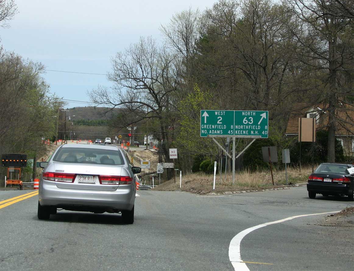
I noticed Massachusetts often puts route numbers on guide signs without a shield, shown above. One thing the Pioneer Valley is noted for is being a region full of used book stores. Perhaps the shieldless numbered signs are a tribute to avid local readers :)
West of Erving and the French King bridge, Route 2 follows the Connecticut River. The next large town along the route is Turners Falls. Turners Falls is famous for its “Power Canal” which was originally constructed in 1798 and rebuilt in 1869. The canal was built to provide navigation past a large waterfall called Turners Falls.
Gill Bridge
The bridge shown above is not Route 2 but just off of it, and is known as the Gill bridge. The bridge was finished in 1938 and is really in need of rehabilitation. The pavement is pockmarked and the bridge is full of rust. While decrepit, it is still impressive to look at.
The road continues westbound as a local road, then a super-2 expressway, and finally it has a few miles of full freeway just before hitting I-91.
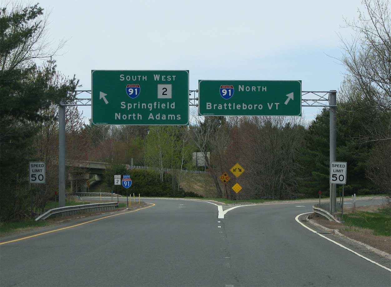
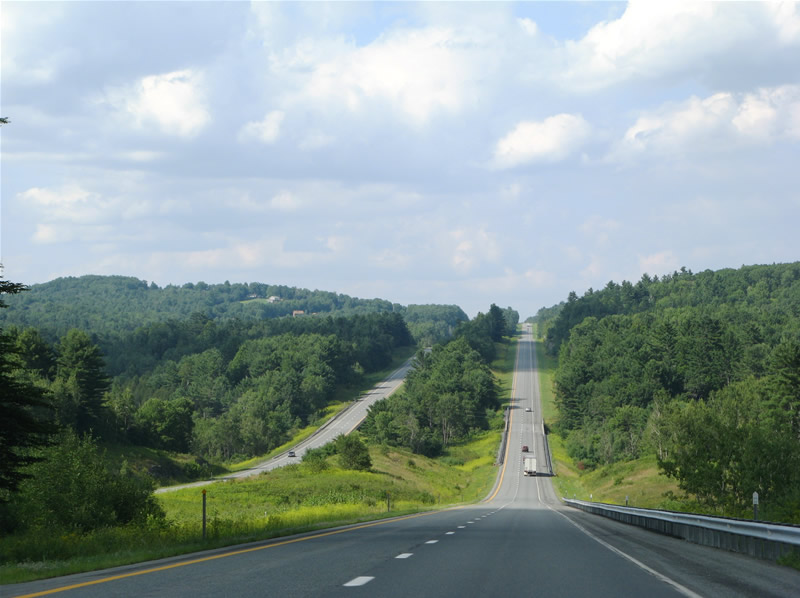
The interchange with I-91 is fully directional. Route 2 continues westbound through some impressive mountain scenery. That is the meat of Mohawk Trail, and i’m sure it gets very busy during the fall foliage season.
Rt 2 is slowly and quietly being turned into the expressway it was originally meant to be. There are new interchanges planned in Concord and Lexington that are being put through quietly.
The communities in Concord and Lexington would prefer that it never happened, but the state isn’t talking about it much, trying to get it through with as little opposition as possible. The original rt was supposed to connect into the original central artery, and if you look at aerial photos of 93, you can see the itty bitty stub where RT2 was supposed to connect into it.