
Took Interstate 10 westbound from Northwest Florida to Lake Charles, Louisiana, then U.S. 171 north to Shreveport. Redocumented all of I-10 west to Lafayette, all of I-12 west, Interstates 110 and 210. Took new coverage of I-10 west to Lake Charles and all of U.S. 171 north toward Shreveport as well as photographing the south ends of U.S. 165 and 171.
The first construction of note on the day is the building of a diamond interchange with the north end of the Baldwin Beach Express (County Road 83). Work is expected to run through October of this year.
The ramps are partially paved and a new overpass is in place for the extension of County Road 83. Additionally, two lanes of the future four-lane roadway are open with two-way traffic between the I-10 overpass and County Road 64 to the south. The four-lane corridor leading south beyond U.S. 90 is not yet open to traffic, but nearly ready with base pavement already complete.
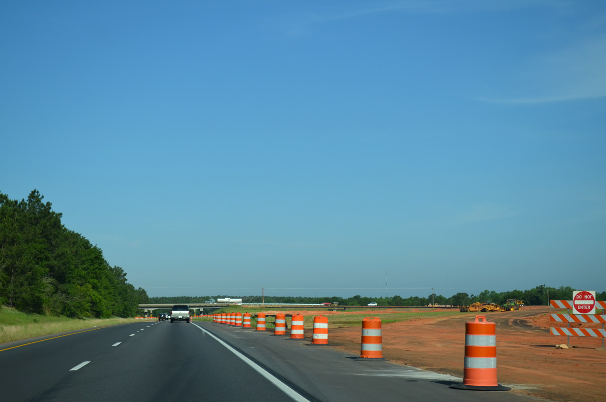
The future westbound off-ramp to County Road 83 / Baldwin Beach Express south. The 2015 Rand McNally atlas shows this interchange as open with the exit number of 49.
Construction is underway to resurface the Interstate 10 mainline from the George Wallace Tunnel west to Interstate 65. Included in this work was the removal of the derelict pedestrian bridge preceding Texas Street (Exit 25A) on westbound.
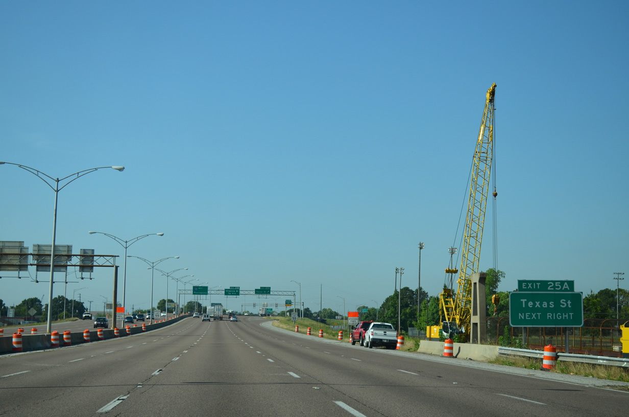
Crews moved fast on the removal of the Texas Street pedestrian overpass, with its span sitting to the side of the I-10 travel lanes awaiting dismantling.
A new folded diamond interchange replaced a congested at-grade intersection immediately north of the Interstates 10/110 and Mississippi 67 cloverleaf interchange at D’Iberville. The new exit opened to traffic after a ribbon cutting ceremony held on August 15, 2013.
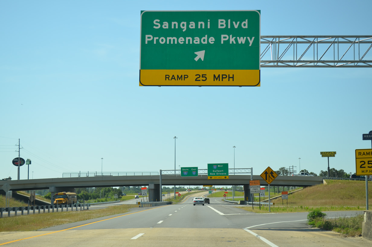
Crossing the Tchoutacabouffa River, Mississippi 67 south splits with the Sangani Boulevard / Promenade Parkway off-ramp. The approaching on-ramp forms an auxiliary lane through to Interstate 10 west to Gulfport.
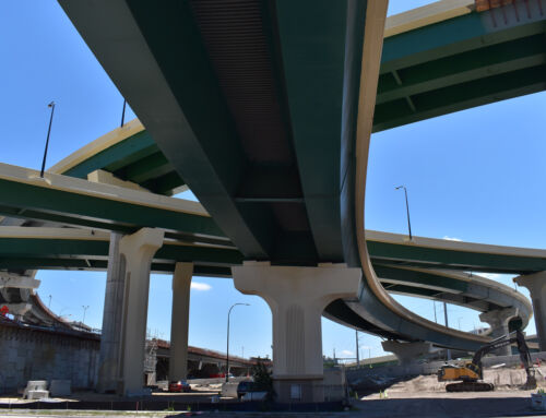
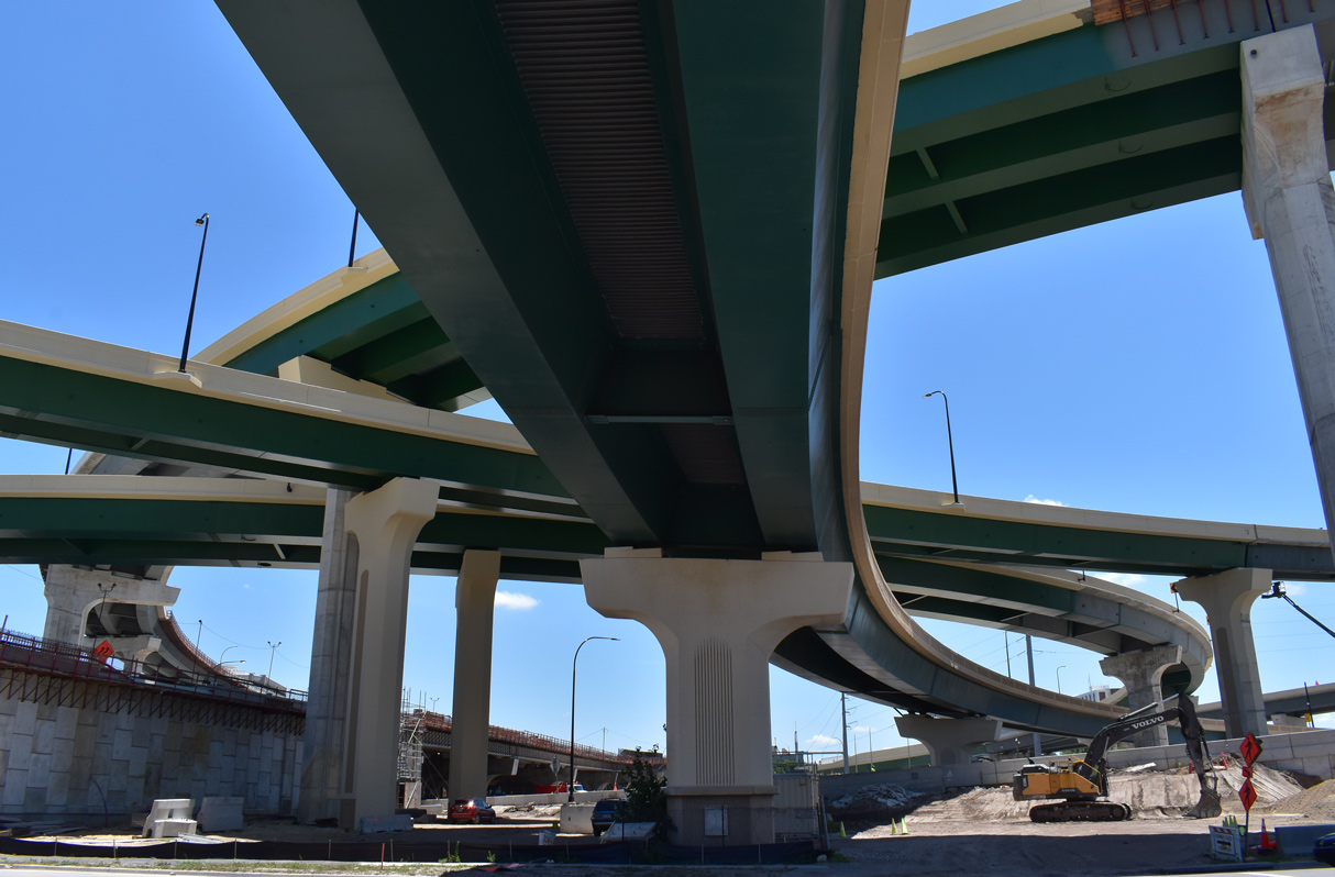
The interchange between Interstates 10 and 110 will be rebuilt to incorporate a flyover from west to south. That aspect remains a ways off, while interim changes, such as new ramps to D’Iberville Boulevard and Lamey Bridge Road will enhance area access by August 2015.
The overpass carrying D’Iberville Boulevard (former MS 15) was demolished to make away for an extended collector distributor roadway from I-110 west to a new on-ramp from the boulevard.
West of Hammond, bridges along Interstate 12 are currently being replaced with modern spans. As part of the replacement, barrier medians are being added both before and after the crossings to accommodate future widening of Interstate 12. The current six-lane stretch ends at Exit 15, but replacement of the span over Dumplin Creek will extend the widened portion another mile to the east.
Crossing the Blood River, west of LA 43 (Exit 32) along Interstate 12 west. Construction was evident at several waterway crossings where crews were replacing original spans.
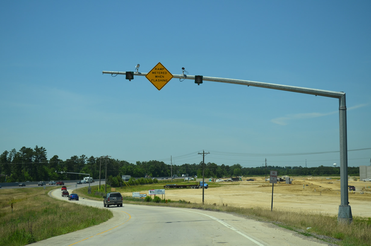
The Baton Rouge freeway network includes ramp meters along Interstate 12 east to Exit 15. These have been in place for at least two and half years.
Ramp meters used along the Louisiana 1026 westbound on-ramp to Interstate 12. Another big box retail center is under construction in the northwest quadrant of the interchange.
A major resigning project took place in Baton Rouge, Lafayette and Lake Charles by 2012. Most signs were replaced with panels using Clearview-font. In some instances, route numbers were improperly signed with the font.
Signs along Interstate 12 west from U.S. 61 to Interstate 10 utilize Clearview font improperly in route shields. This example also shows inconsistency in font size that the use of Clearview often yields.
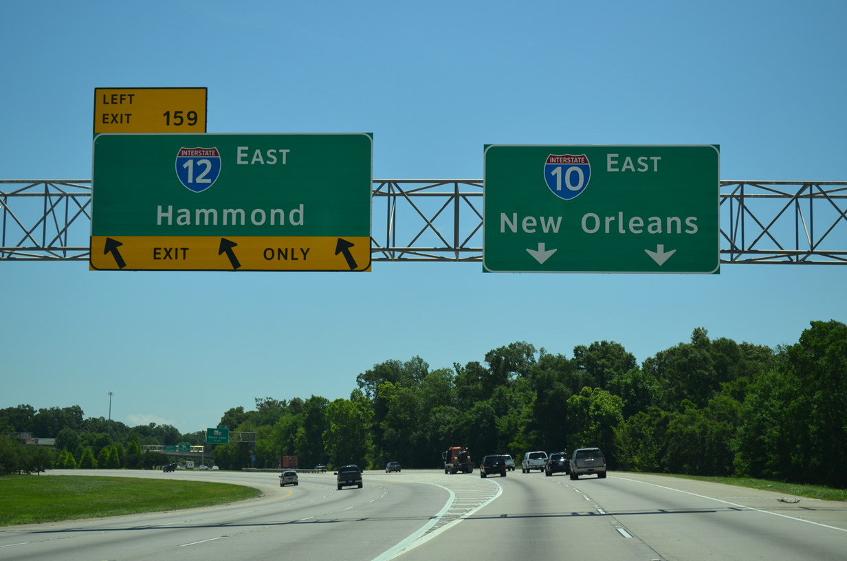
More improper Clearview font use occurs at the Interstate 12 split from Interstate 10 eastbound.
Painted shields are used at most of the Interstate to Interstate system exchanges in Louisiana now.
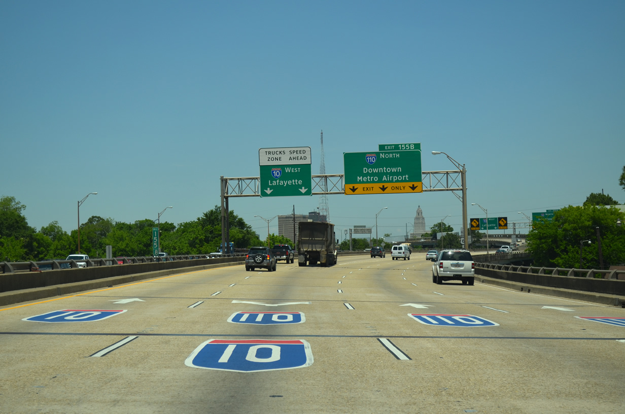
Shields painted on the I-10 viaduct at I-110 resemble shields that a knight would use versus those for an Interstate highway.
Louisiana reintroduced the state name to Interstate highway shields in 2012. The changeover however is slow, with signs replaced on a as-needed basis versus a wholesale resigning of routes, such as what occurred in Mississippi.
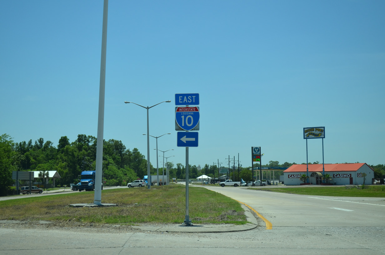
A new state-named shield for Interstate 10 appears at the eastbound on-ramp from Louisiana 415 south near Port Allen.
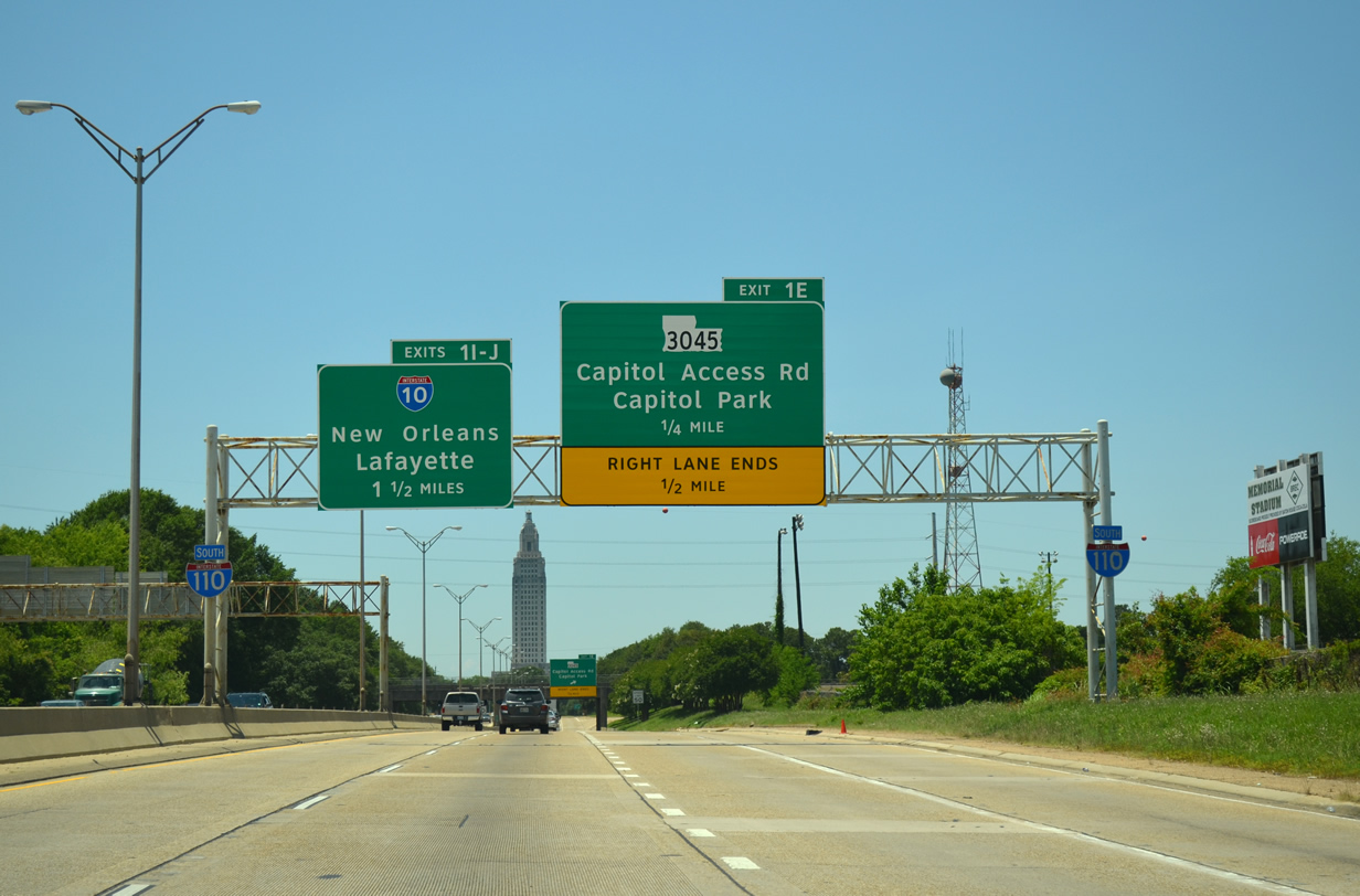
Nearly all signs along Interstate 110 through Baton Rouge were replaced by 2012. This view looks at Louisiana State Capitol building, 1.5 miles north of I-10.
Speed limits along five stretches of elevated Interstate highways in Louisiana were reduced to 60 miles per hour in 1999. Some stretches were increased again in 2003, such as the I-55 viaduct leading north from La Place. The Acadian Thruway portion of Interstate 10, more specifically the viaduct over the Atchafalaya Basin, remains at 60 miles per hour.
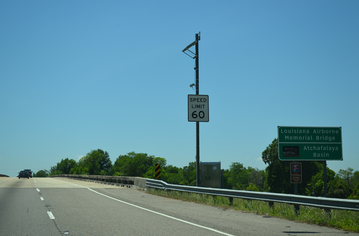
The start of the Louisiana Airborne Memorial Bridge ahead of milepost 135 on I-10 west. Speed limits reduce to 60 MPH and 55 MPH for trucks over the course of the next 16 miles.
Presently Interstate 49 ends at Interstate 10 in Lafayette. A toll road is proposed to take the route southward on an eastern bypass of the city to the limited access portion of U.S. 90 to New Iberia. The route presently stretches northwest to Interstate 20 in Shreveport, with additional sections open from LA 1 to U.S. 71 south of Hosston, southwest Arkansas, northwest Arkansas over former Interstate 540, and over U.S. 71 from south of Joplin to the Grandview Triangle area of Kansas City.
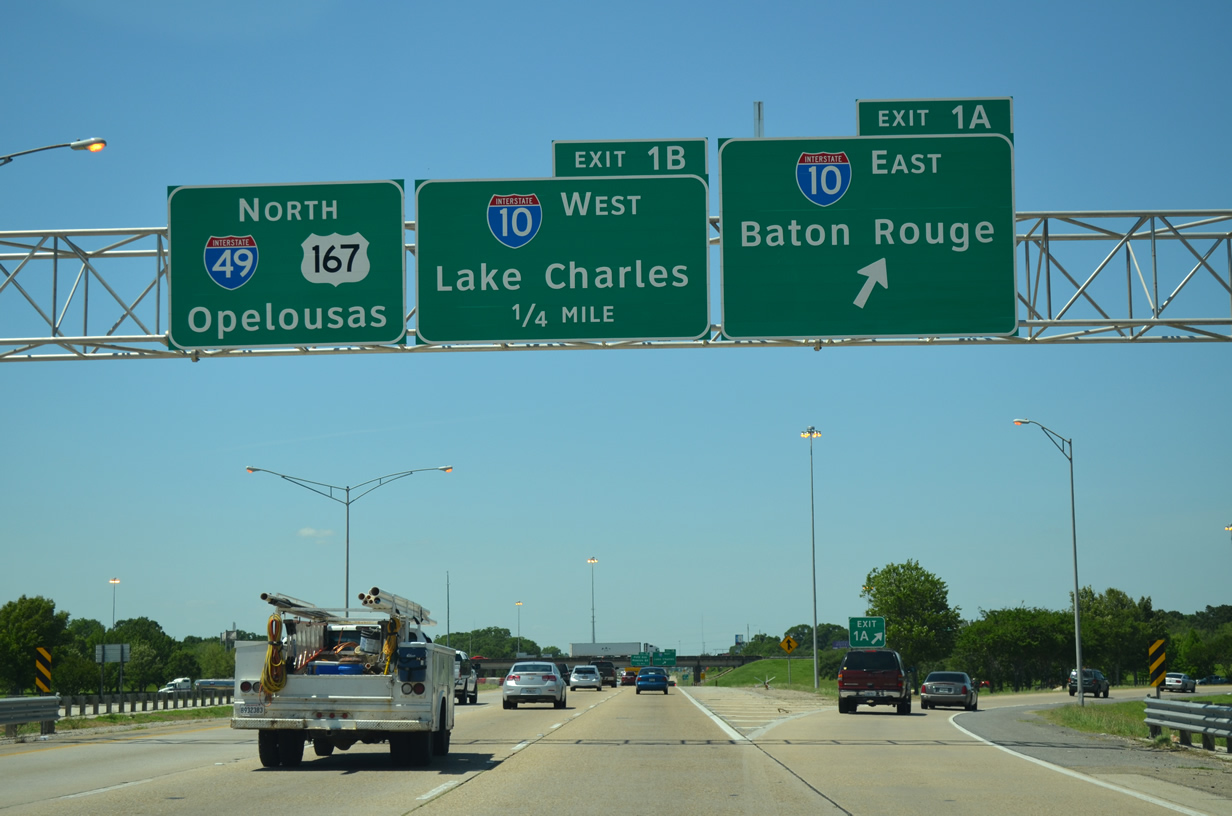
The current northbound beginning of Interstate 49, as U.S. 167 upgrades to a freeway at a full-cloverleaf interchange with Interstate 10. The control city of Opelousas remains for the split with U.S. 167.
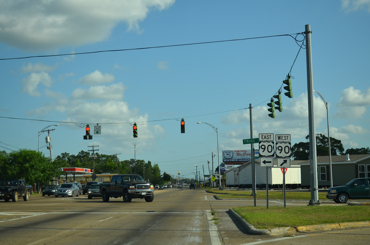
U.S. 165 consists of a two-state route traveling 412 miles from Iowa, Louisiana to Little Rock, Arkansas. The route ends just south of Interstate 10 (Exit 44) at U.S. 90.
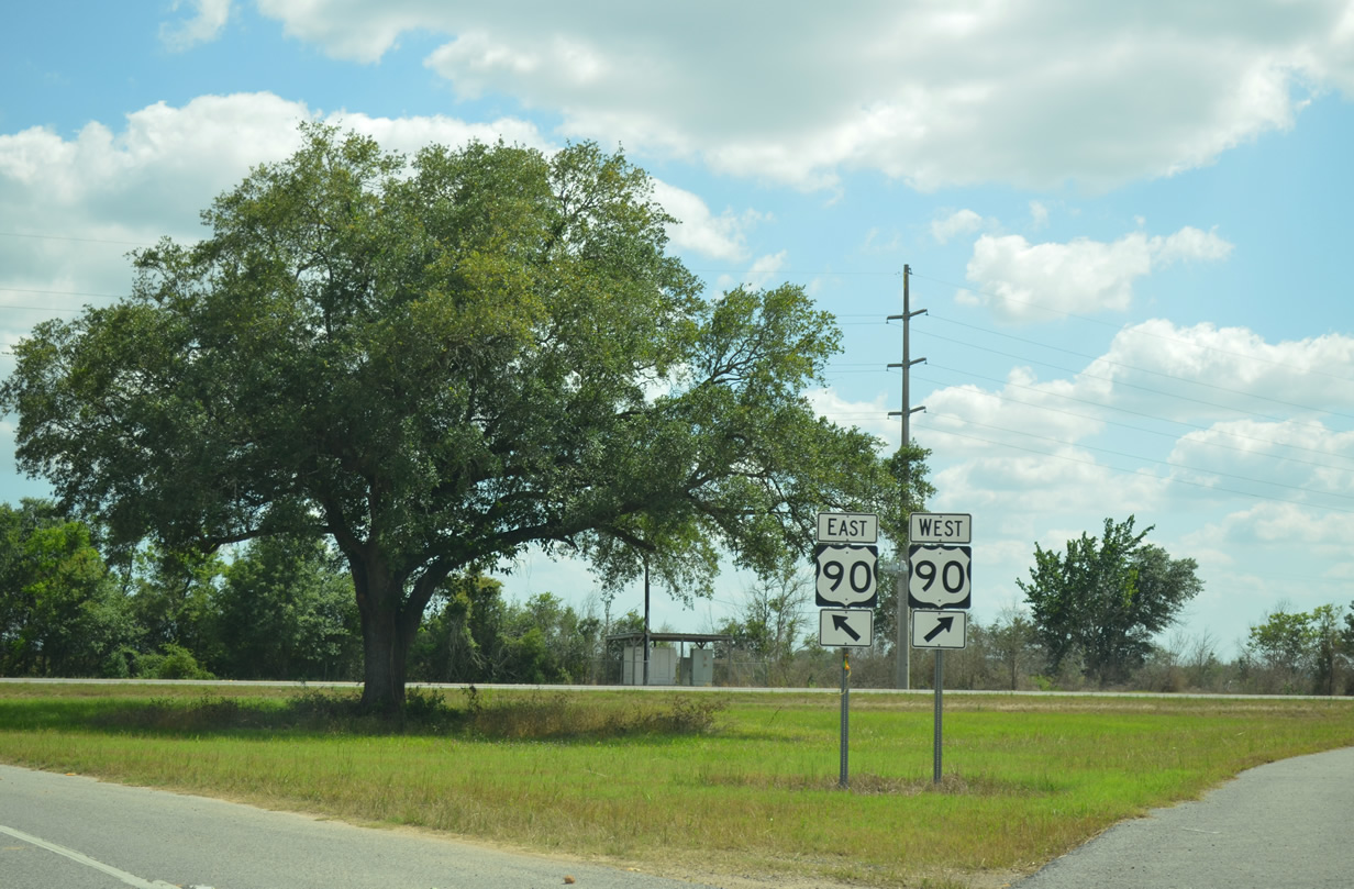
A rural wye intersection separates traffic to U.S. 90 west to Iowa and east to Welsh.
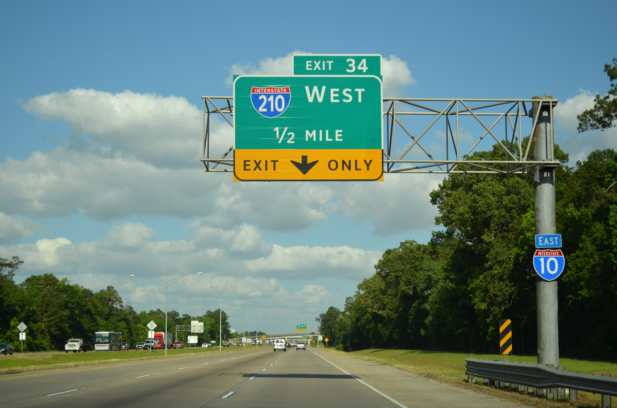
Interstate 210 provides a bypass route of Interstate 10 around the south side of Lake Charles, while also serving the casino area east of Prien Lake and McNeese State University.
More incorrect usage of Clearview font appears at the east end of Interstate 210.
$38.6-million in construction is underway to rebuild the Interstate 210 interchange at Nelson Road and add ramps to Cove Road east of Prien Lake. This work, running through Fall 2014, enhances access to the casinos to the north.
U.S. 171 is an intrastate route, running 183 miles north from U.S. 90 in Lake Charles to U.S. 79 & 80 in Shreveport. The entire route carries four lanes, with the final stretch of widening completed in 2010.
The south end of U.S. 171 occurs opposite the west end of Louisiana 14 at U.S. 90 in Lake Charles.
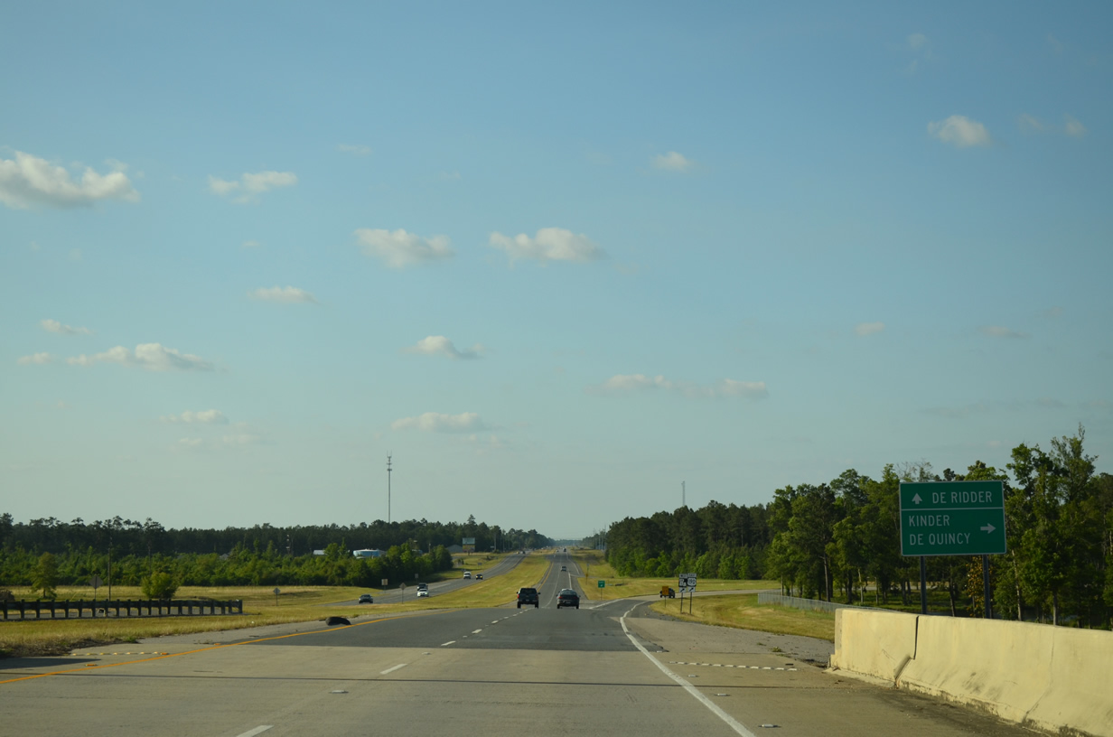
A folded-diamond interchange joins U.S. 171 with U.S. 190 west and Louisiana 12 east at the rural settlement of Ragley. A 26-mile overlap north to DeRidder ensues.
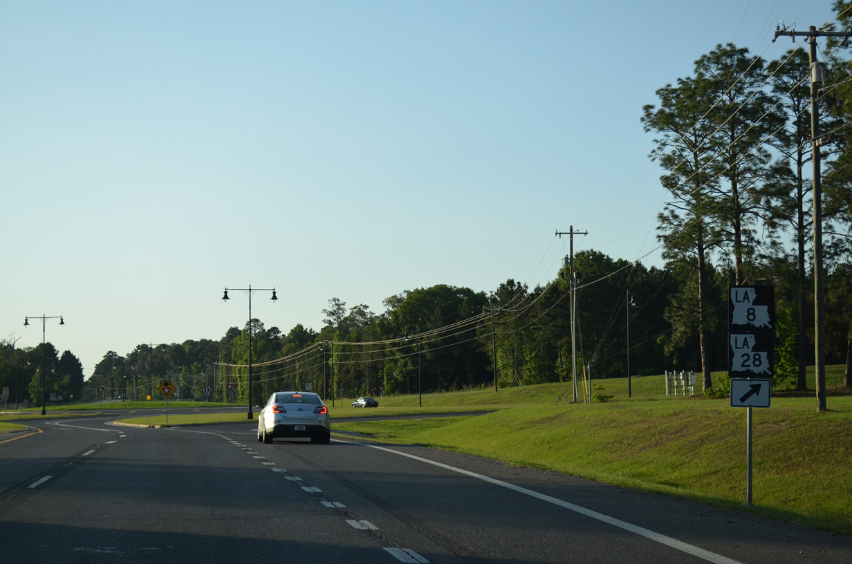
Louisiana 8 ends a short concurrency with U.S. 171 north through Leesville at a roundabout on the north side of town. LA 8, in conjunction with LA 28, provides a four lane corridor east to Alexandria.
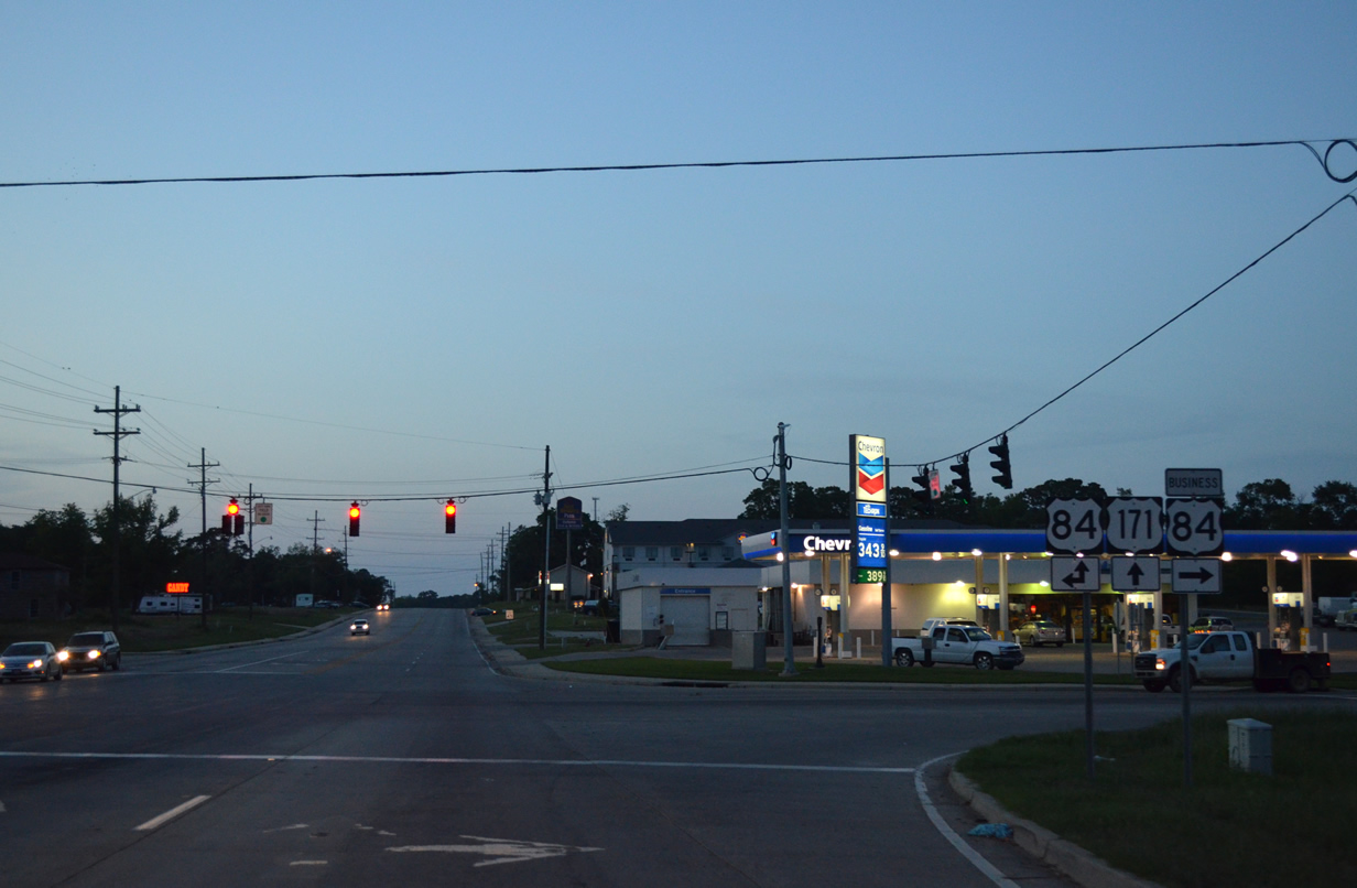
U.S. 84 ties into U.S. 171 at Mansfield. The pair share a 0.6 mile overlap to the west of Downtown, which is served directly by U.S. 84 Business onto Washington Avenue.
Its a shame to see that they incorrectly but clearview font where it wasn’t suppose to be. As i understand it, clearview is only to be used for the destinations and normal highway fonts for everything else on the sign.
My hatred for the Clearview font is illustrated in all of those signs where they are used in not only the route shields, but in LEFT EXIT tabs as well. Yuck. FHWA, pull the plug and make the switch back to good ol’ Highway Gothic!
Also, “Shields painted on the I-10 viaduct at I-110 resemble shields that a knight would use versus those for an Interstate highway.” made me laugh out loud upon reading it. LOL
Did you happen to see Business US 171 signs up in Zwolle, LA? I feel like I saw them last year, but I’m not positive. I’m pretty sure it hasn’t shown up in the last few AASHTO updates.
Baton rouge