
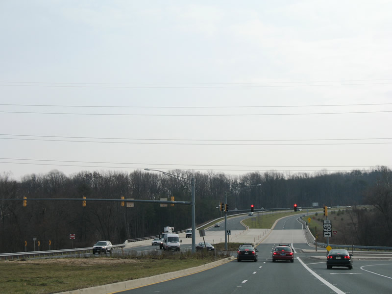
Constructed between August 2003 and October 2006, Maryland 43 (White Marsh Boulevard) was extended 3.8 miles from a premature end at U.S. 40 (Pulaski Highway) to Maryland 150 (Eastern Boulevard). The new state highway consists of a four-lane divided highway with expressway like characteristics. While there are no private driveways, seven at-grade intersections exist along the route to accommodate future development, including that with the proposed Campbell Boulevard.

Maryland 43 (Whitemarsh Boulevard) briefly exists as a freeway between Interstate 95 and U.S. 40. A full cloverleaf-interchange joins the freeway with Interstate 95 followed by a folded-diamond interchange at Maryland 7 (Philadelphia Road). The interchange between White Marsh Boulevard and Interstate 95 is in the process of upgrade to a directional-cloverleaf interchange associated with the Interstate 95 Express Toll Lane project. The missing sign pictured here once held a panel that displayed “Lane Ends 1000 Feet”.
Originally Maryland 43 ended at a partial trumpet interchange with U.S. 40. That connection was reconfigured into an at-grade intersection with a short access road joining both highways. 1970s highway maps show Maryland 43 proposed to the southeast as a freeway to Maryland 150.
The project opened to traffic on October 23, 2006 at a cost of $76.5 million with private contributions in the form of $2.4 million and 34 acres from the AV Williams Trust. The AV Williams Trust element results in the construction of four intersections to serve their land that is already accommodating new commercial development.
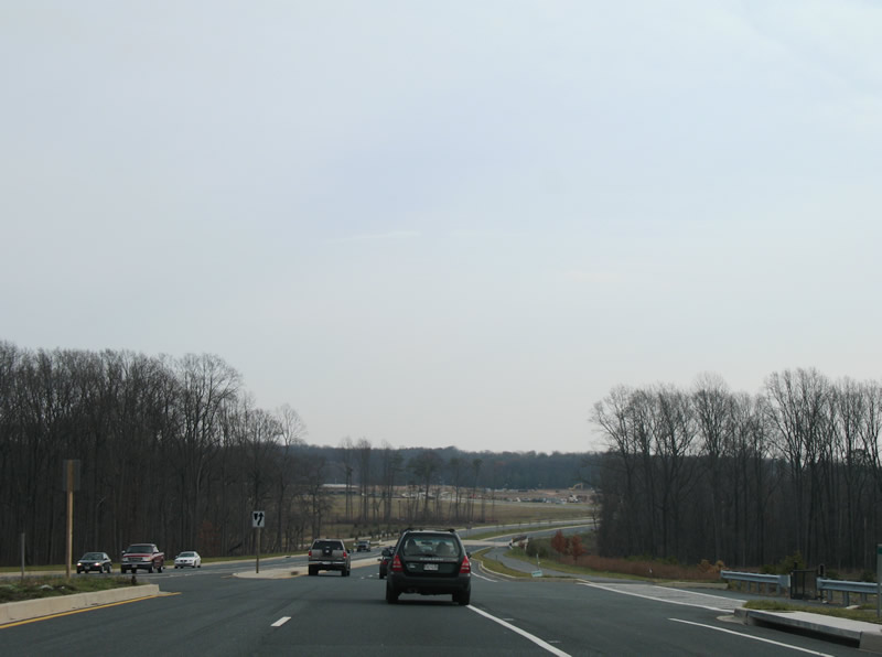
Maryland 43 (White Marsh Boulevard extended) eastbound at the future intersection with Campbell Boulevard. Rural lands surround the four-lane highway presently from U.S. 40 southward to Maryland 150 (Eastern Boulevard). Visible in the distance is a clearing associated with new commercial development at the AV Williams Trust land.
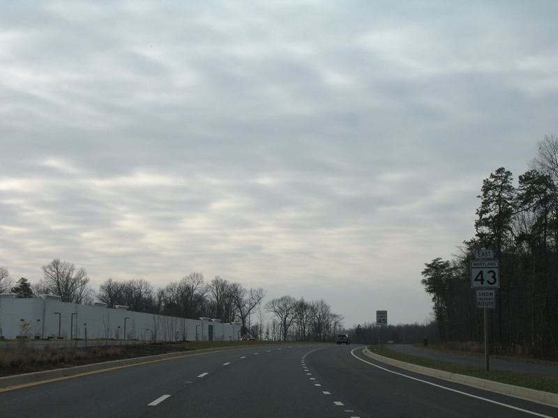
Maryland 43 reassurance marker posted after intersection number three of the White Marsh Boulevard extended project. A business park already lines the south side of the highway as it approaches the AMTRAK/MARC Railroad under crossing.
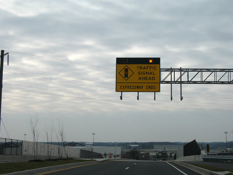
Maryland 43 elevates over the AMTRAK/MARC line before ending at a signalized intersection with Maryland 150 (Eastern Avenue) near Martin State Airport. Maryland 150 travels east-west between Essex and Middle River. The sign indicates the Expressway End, but with all of the future development, Maryland 43 will more resemble a controlled-access arterial than a high speed route.
Expressway or Sprawlway, with all the land opened up for development, the one will lead to another. See http://www.sha.state.md.us/businesswithsha/projects/ohd/md43/MD43handouts.pdf for a 2003 aerial overlaid with the completed path.
For additional details on the project, see MD 43 (White Marsh Boulevard) Extended “The Road to Opportunity” http://www.sha.state.md.us/businesswithsha/projects/ohd/md43/welcome.asp at the MDSHA website.