
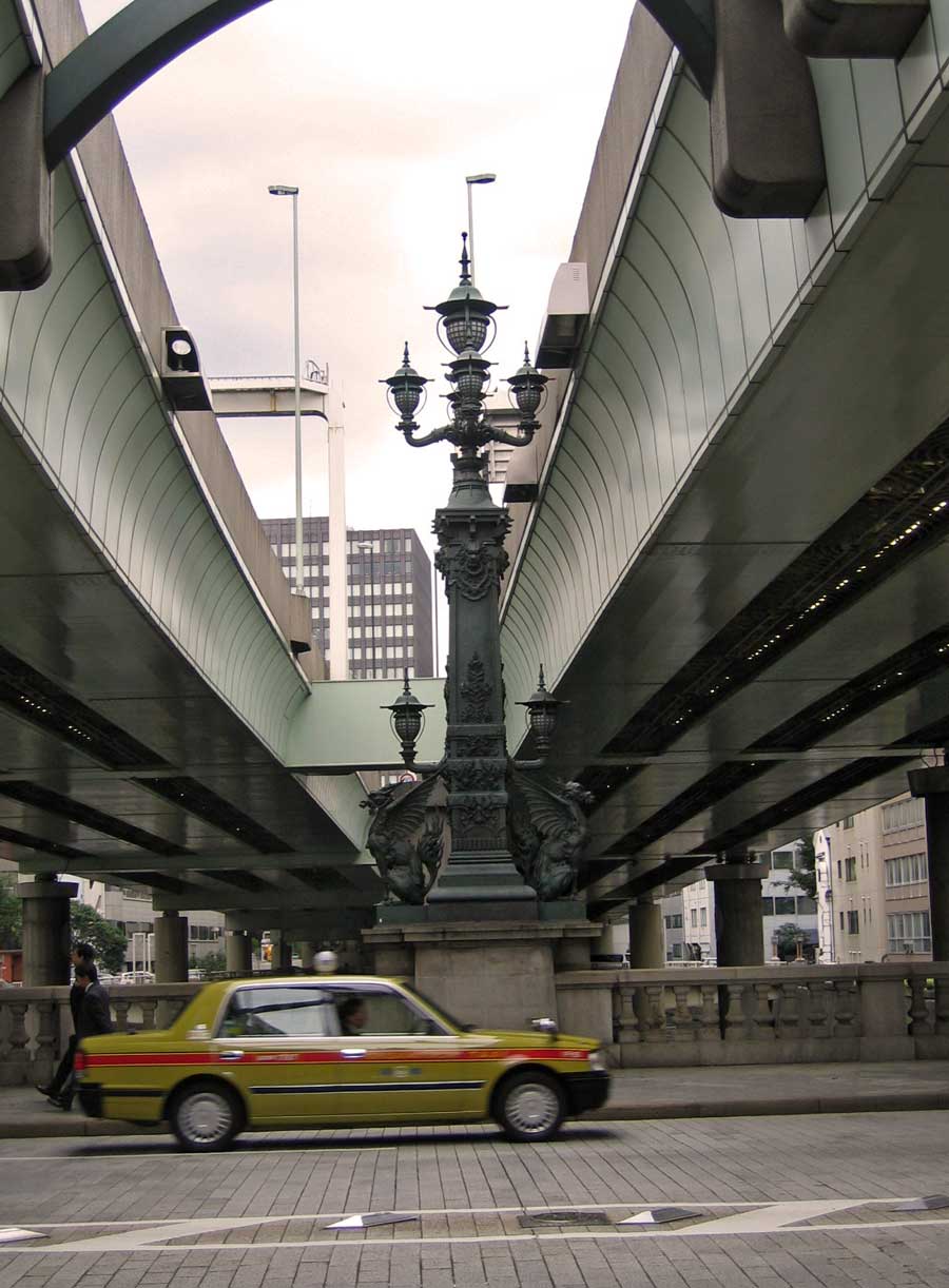
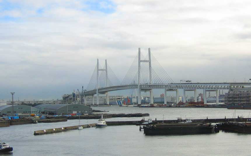
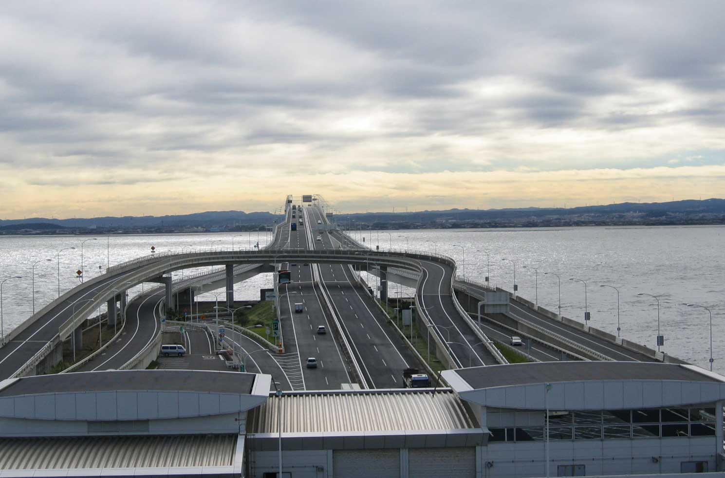
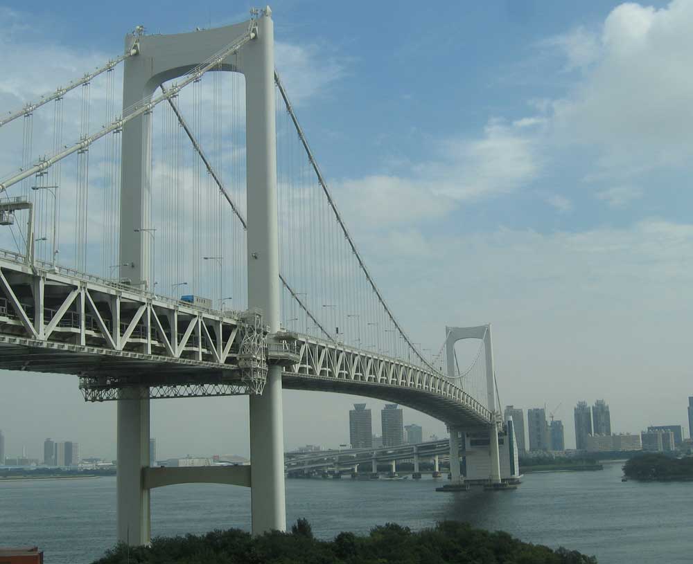
I got to spend the last week and some in Japan, mostly Tokyo but with some time in rural Chiba and Kanagawa Prefectures. The freeway system in Tokyo is subpar for being the largest city in the world (or one of them) – but what’s there is astounding. Lots of double decker elevated jobs winding through skyscrapers. There will be 6 Japan posts, this one is just a primer on the guide signs they have there. As always, click the smaller photo for a larger one.
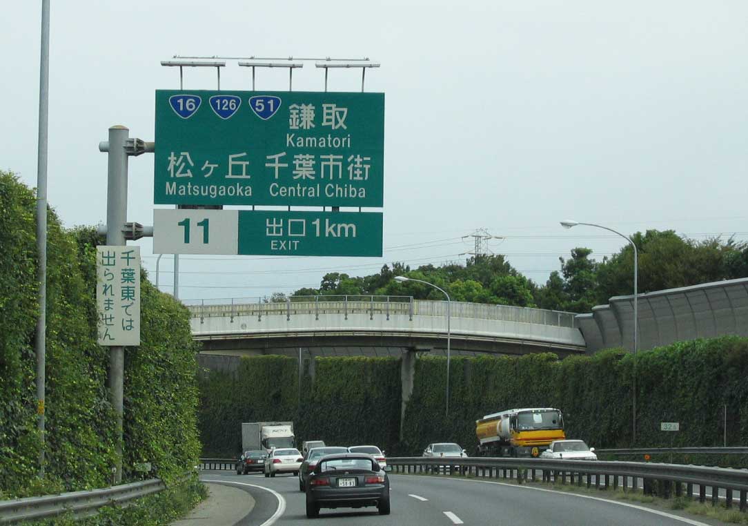
Guide signs on national expressways are green, and usually contain tons of text. This sign is on the Tateyama Expressway south of Chiba. Route numbers are shown, as are the romanji equivalents of the names of control points.
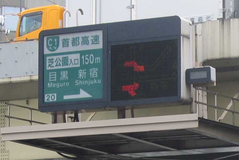
Expressways in Japan are managed by one of 3 private companies. In the Tokyo area, they are called locally “Shuto Expressways” and are managed by the Metropolitan Expressway Corp. This sign shows a typical expressway entrance, backlit with an LED display of traffic conditions. The C1 road is Tokyo’s innermost beltway (there are 5 beltways in various stages of completion). The arrows in the route shield indicate traffic entering here can go in either clockwise or counter-clockwise directions.
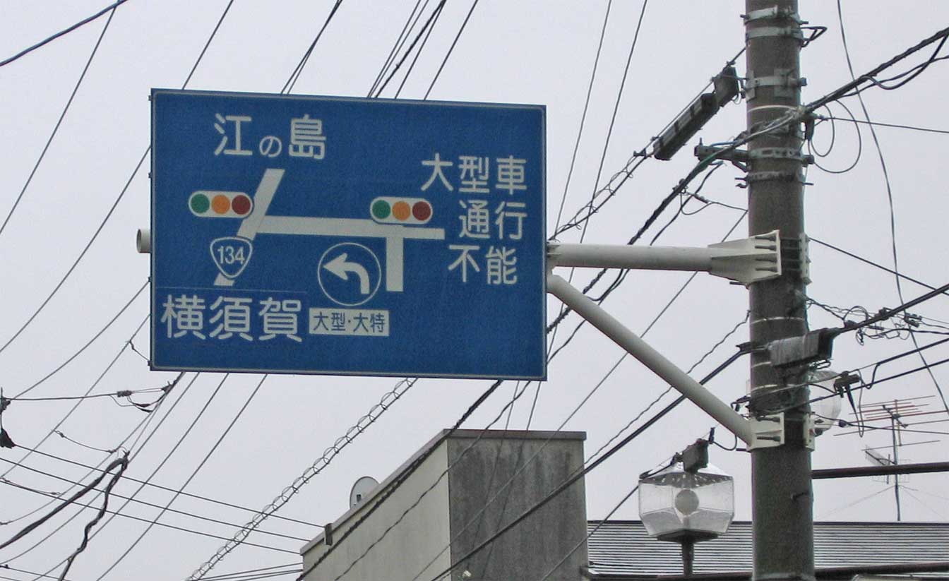
This is a Blue overhead sign (BOS from now on). There are national routes, and prefecture (state) routes in Japan. All of them are signed with these BOS’s, which contain a graphical display of the intersection. Any BOS put up before 1990 is in Kanji only, any signs after that have at least some romanji on them.
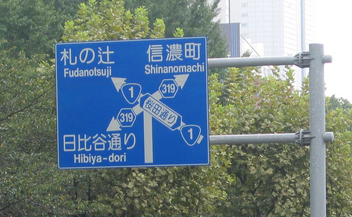
A typical BOS, with Romanji and Kanji showing control points. This sign located in Tokyo’s Roppongi neighborhood shows both the national route shield and two secondary route shields (the hexagons) – along with a graphical representation of this 5 point intersection. The street name, if there is one, is shown with arrows at each end.
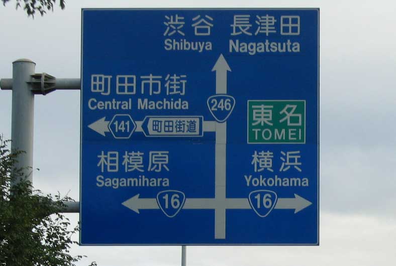
Another BOS near Yokohama. Sometimes, the second intersection is shown after the most immediate (in this case Rt. 141 comes right after Rt. 16). Toll roads and expressways are shown in green boxes.
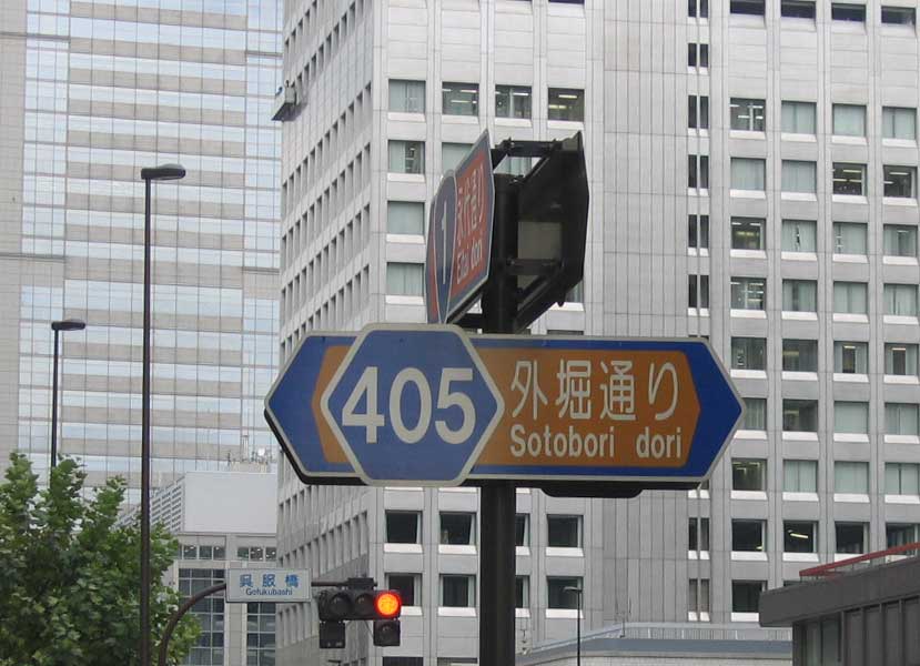
In addition to BOS, routes can be signed in three other ways. In metropolitan areas, like Osaka, Nagoya, or this one in Tokyo – routes are placed on street signs. National routes with a red background, and secondary routes with a brown one. There are tons of secondary routes (think Virginia) and almost every major street is numbered in some way. This is in response to the American occupation after WW2. Japan does not traditionally use street names except on major roads. The Americans instituted a numbering scheme, which was largely discarded except for the route numbers which still remain. The Japanese addressing system is both interesting, complicated, and nearly impossible for foreigners. They still don’t use street names, normally.
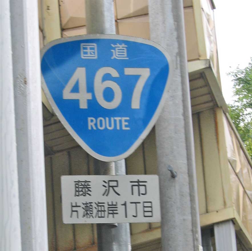
This is a standalone national route sign. The top characters say “National Route” – this one is located in Kamakura Prefecture. Most reassurance shields are located at intersections, and are almost always angled towards the road.
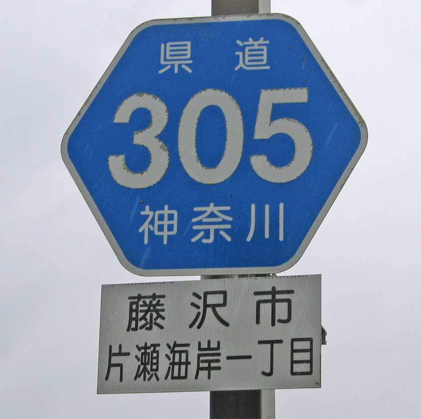
This is a secondary route standalone sign, located at Enoshima Island. The top characters say “state route” and the bottom ones have the name of the Prefecture – a lot like a state name interstate shield here in the US.
So that is a primer on the guide signs in Japan, in the following week I’ll post about Tokyo’s Freeways, The Aqua Line, Yokohama’s Bridges, the Nihonbashi, and Tokyo’s Freeway plan. No, no asia.aaroads.com, I have my hands full with Europe (and it will be updated very soon, I promise)!
About the sixth photo, there are actually three colors: Red for national routes, green for regional routes and yellow for local routes.
Source: http://www.skr.mlit.go.jp/road/hyousiki/h_annai/guide_c/html/main.html