
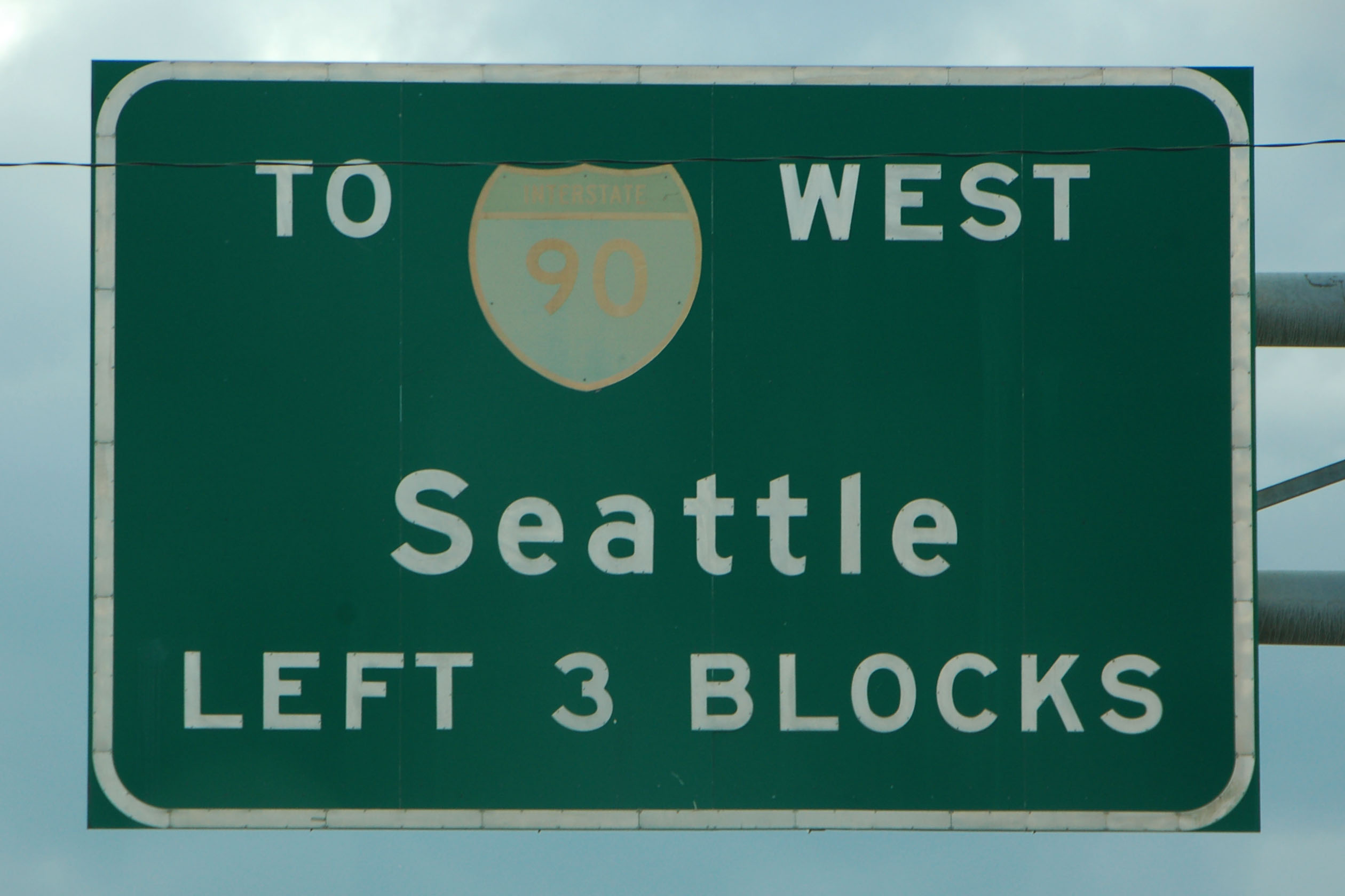
the last Alaska Highway batch, which contains no actual Alaska Highway – and, in fact, very little Canada. We had about 24 hours before we needed to be at the airport, so we spent some time exploring eastern Washington, Idaho, and even a little bit of Montana.
What do we have here? An original I-90 trailblazer, complete with green sign back. We found a few of these in Spokane, and several modern copies with the old-style shield.
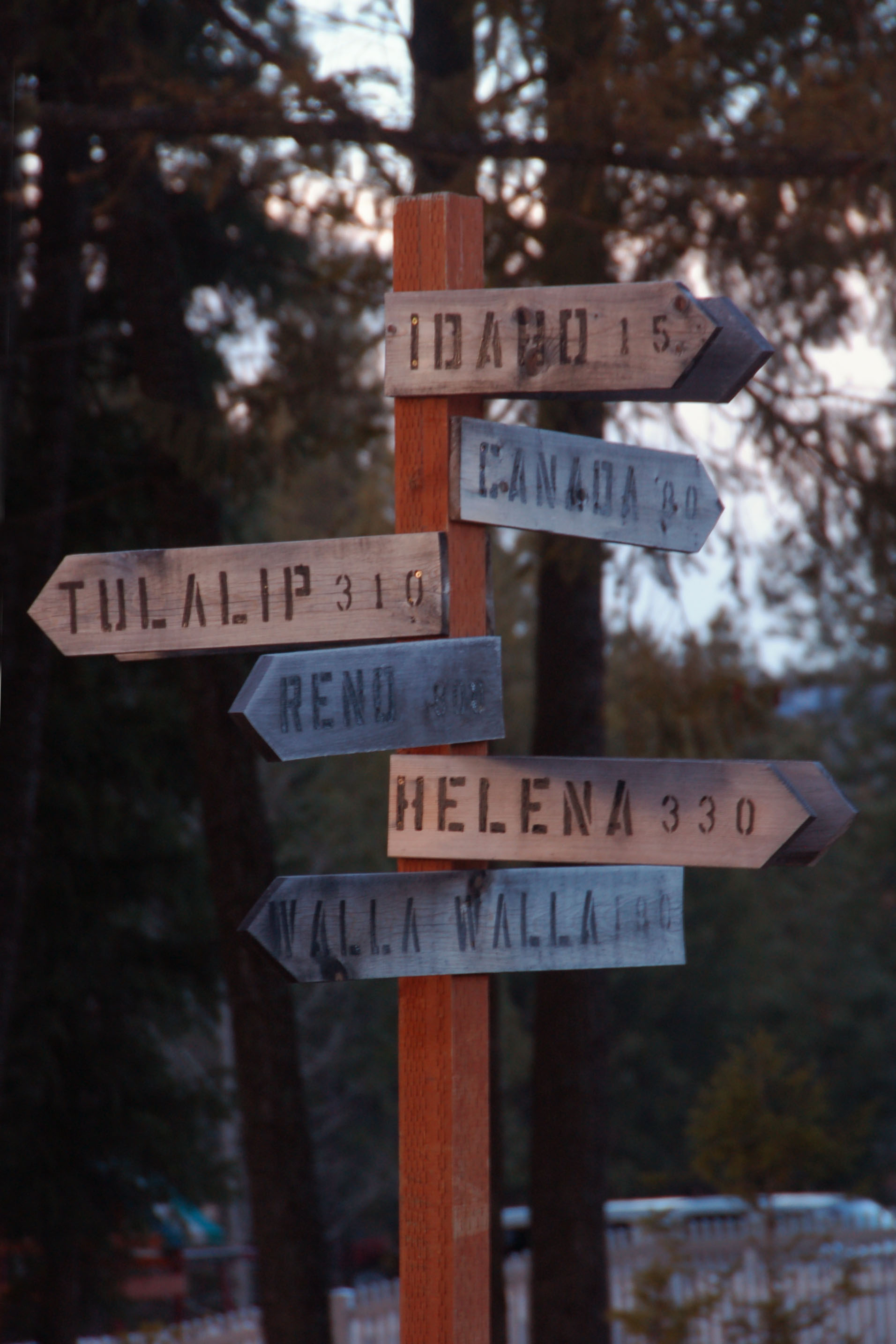
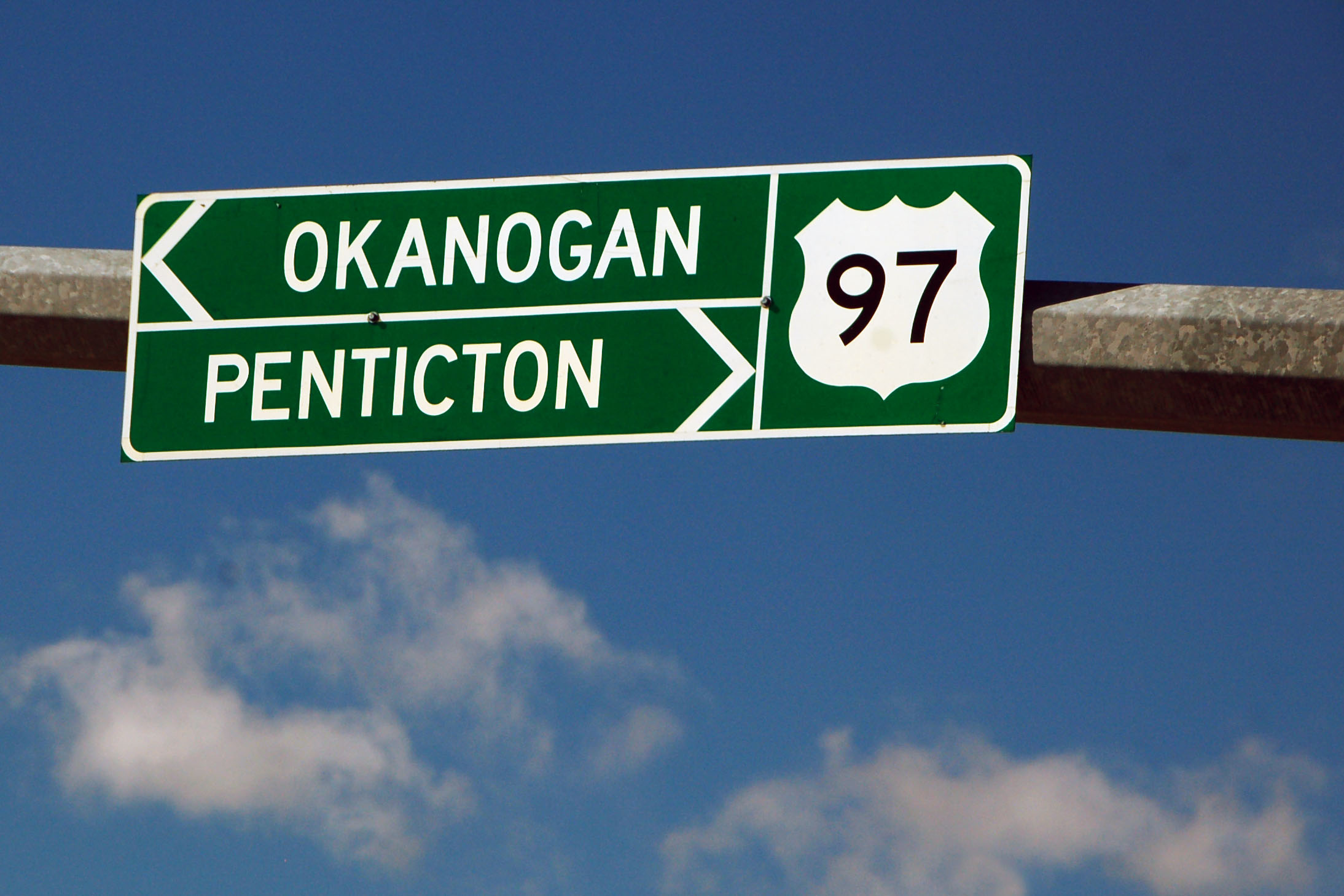
Someone made this gantry, with correct distances and accurate 1930s Washington style, for his own front yard.
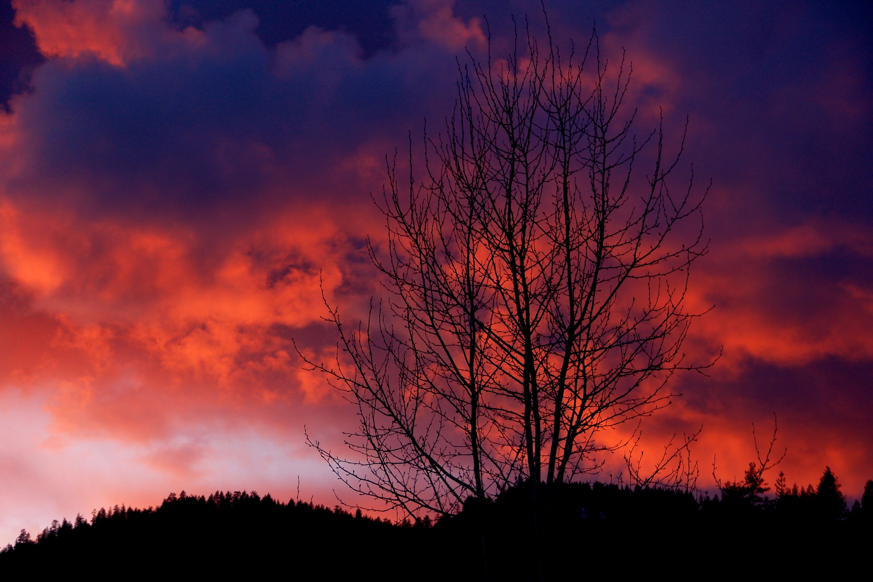
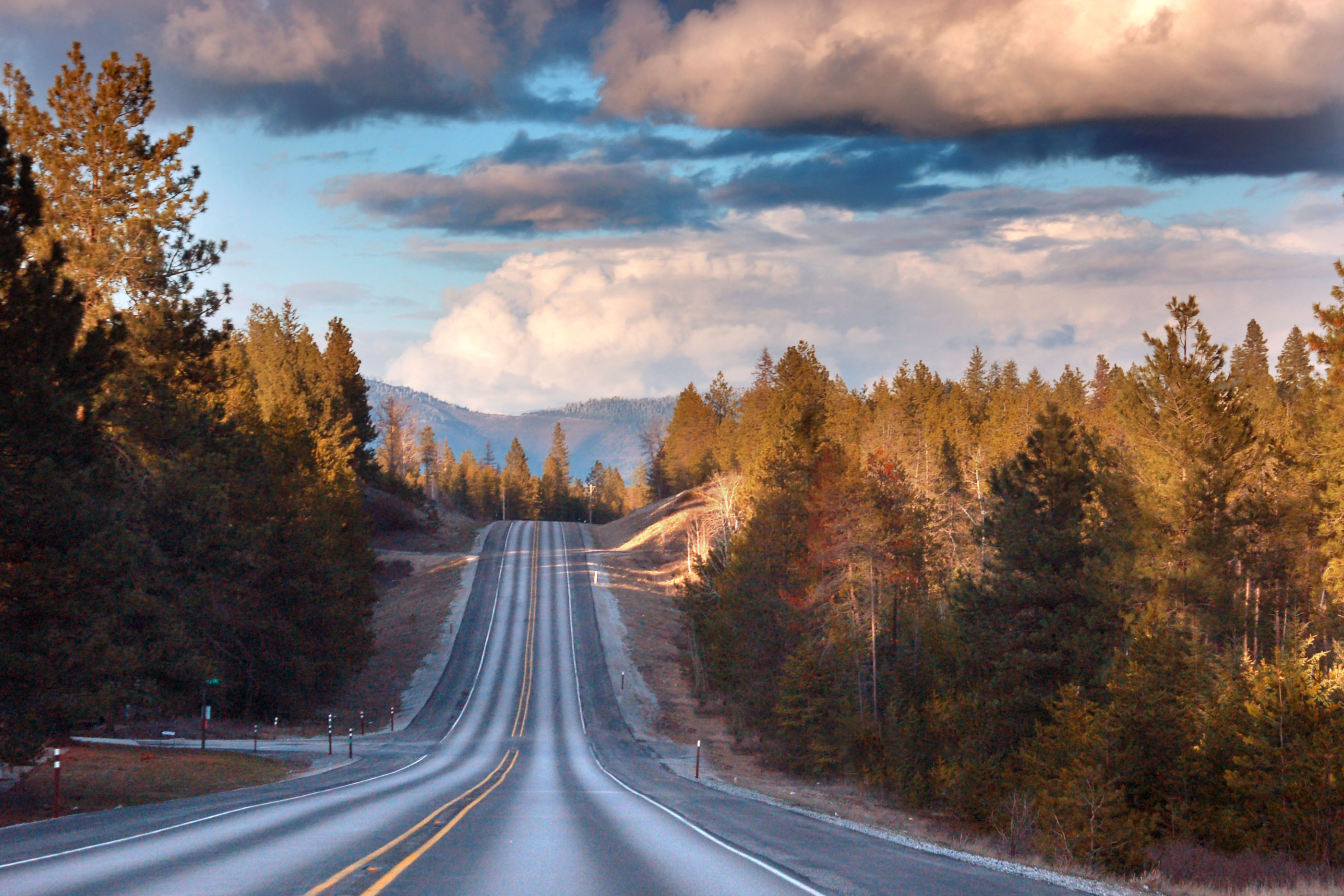
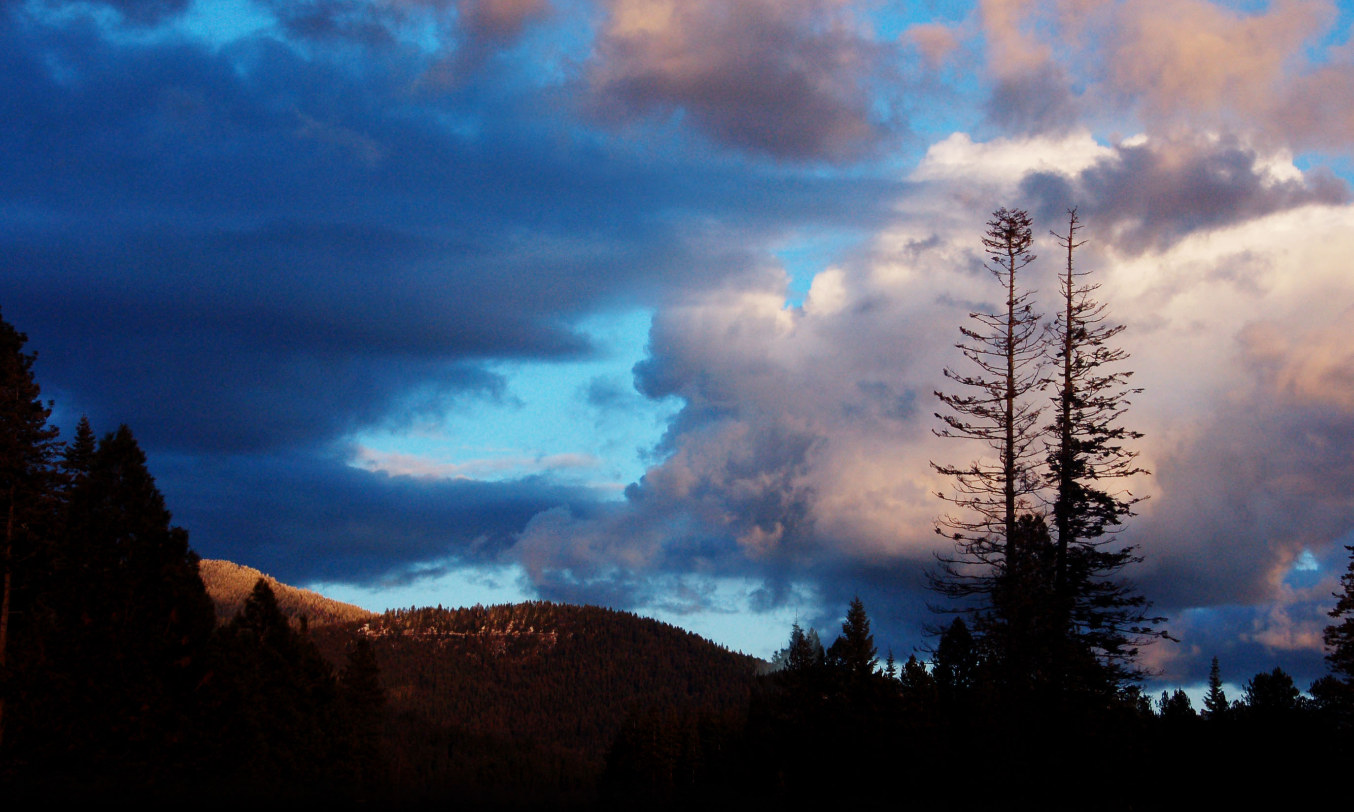
Sunset in Idaho.
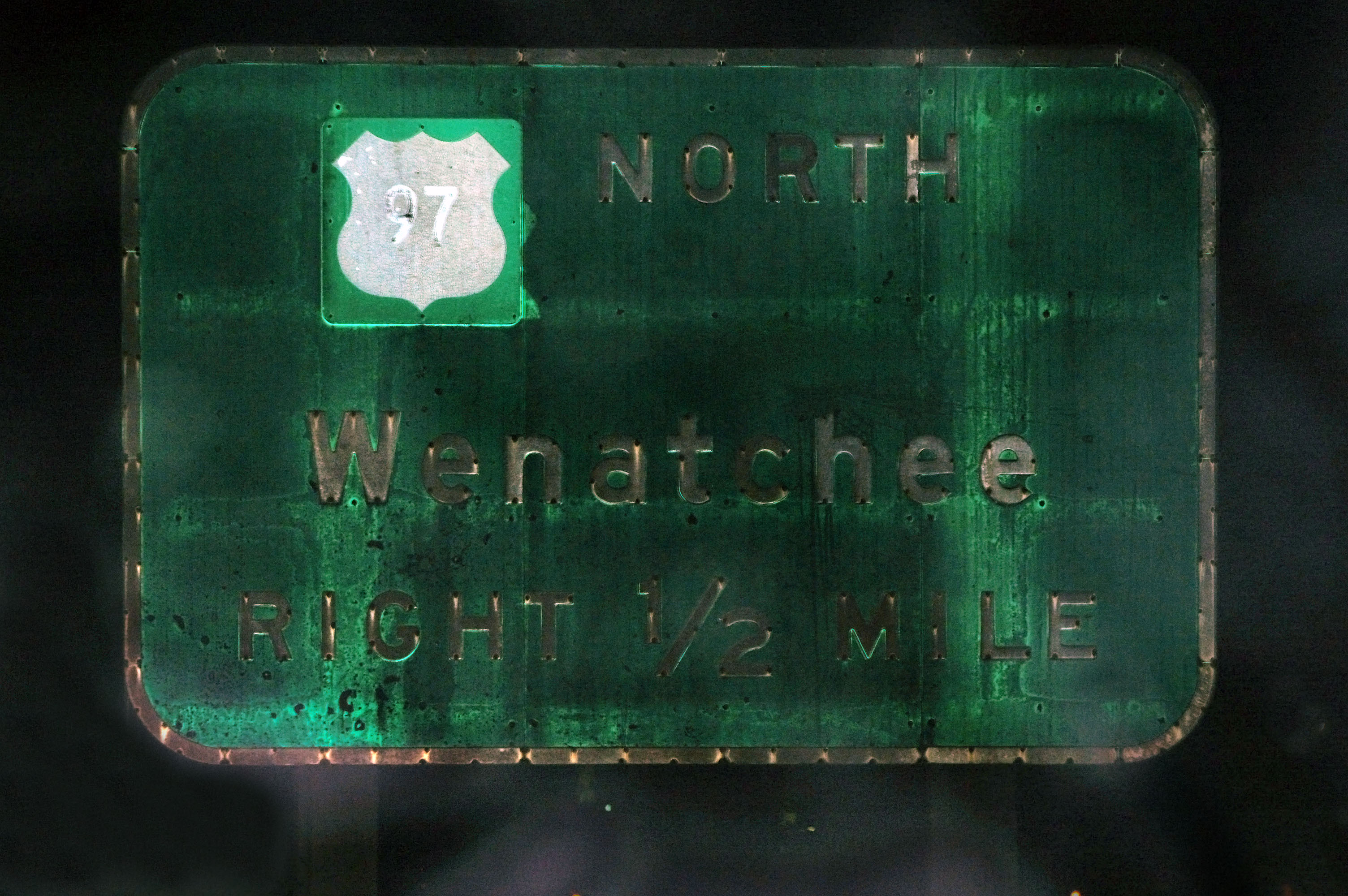
This may very well be the oldest sign in Washington. The 97 covers up an outline shield! It does not reflect very well after about 52 years of service.
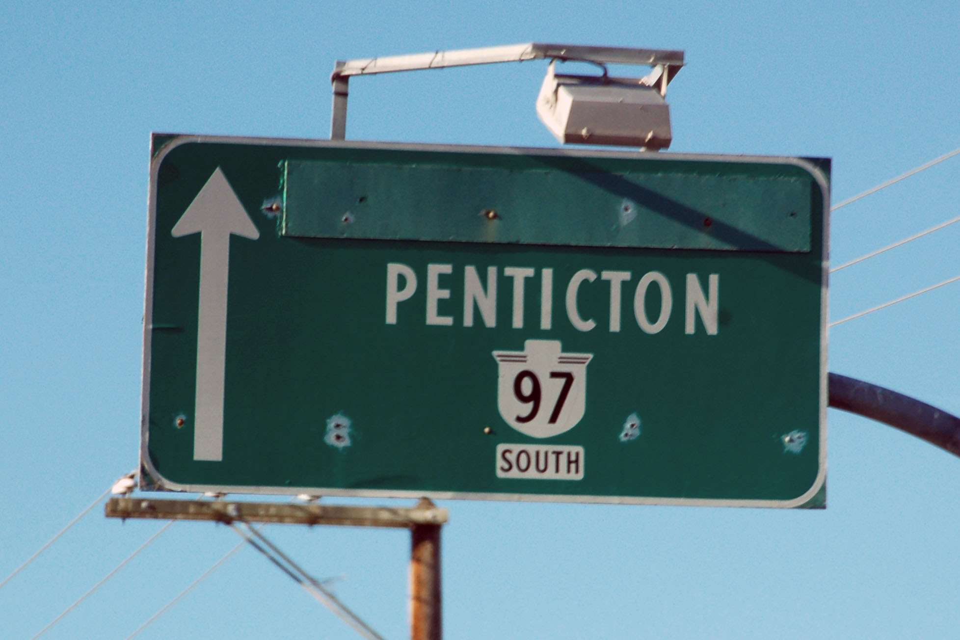
I have no idea what is under the greenout.
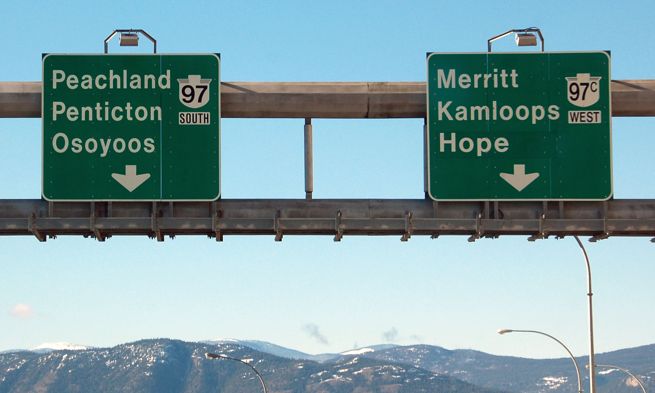
The 97C shield is a patch – and no, I have no idea what is under that either.
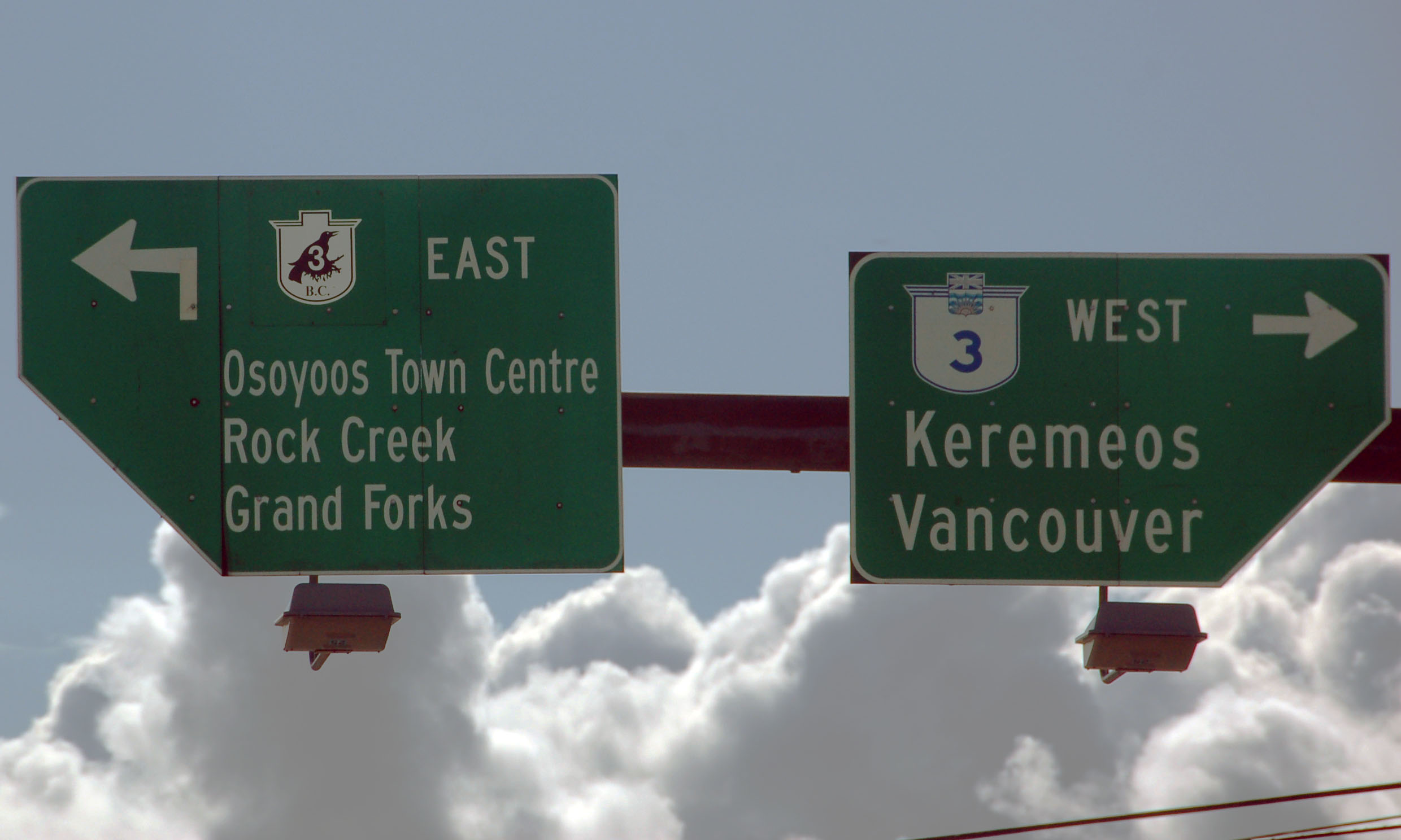
The Crowsnest Trail gets gets its own distinct route marker. That’s a patch too – underneath it is an ordinary 3 shield.
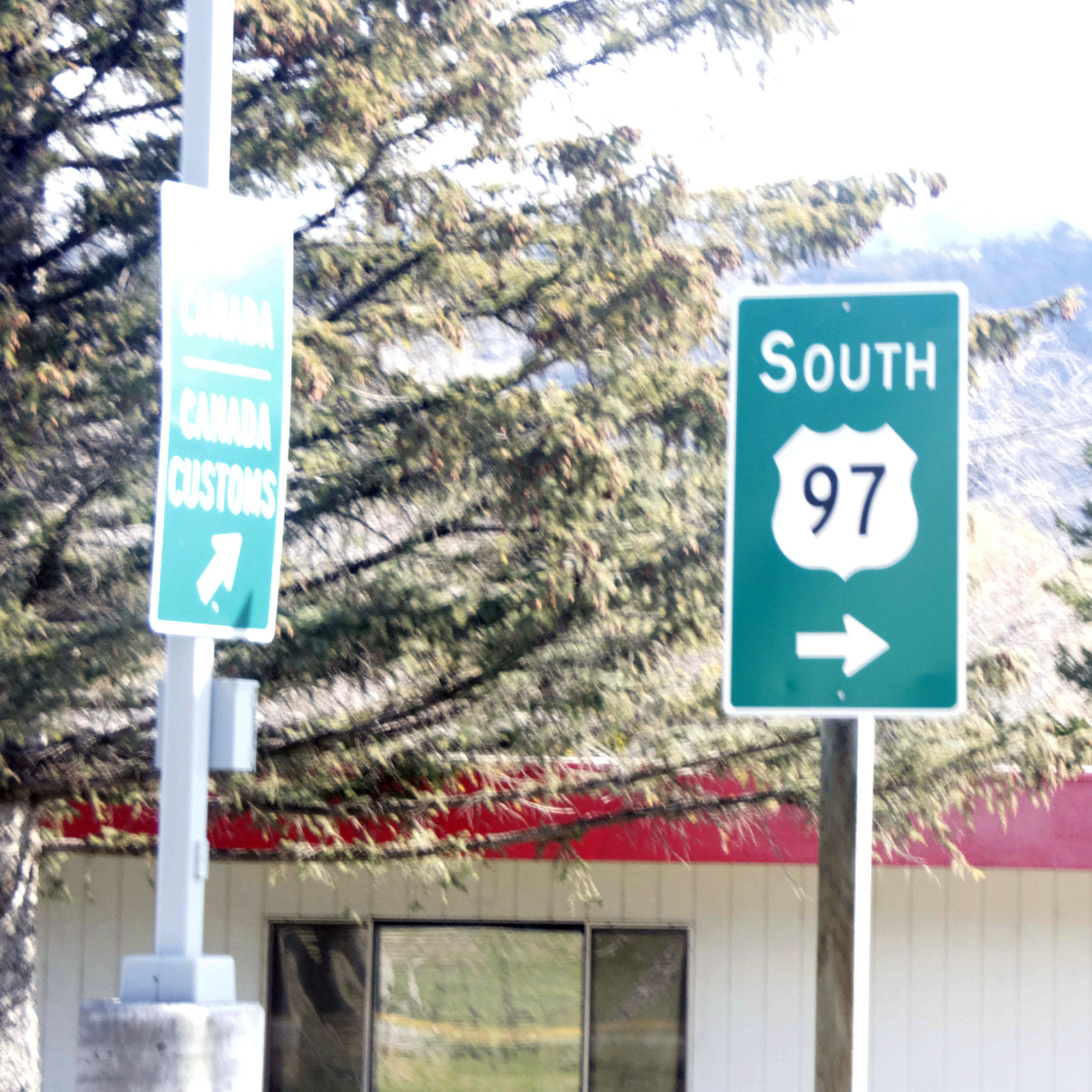
And we’re back in the US. Here is the beginning of US-97, with the very first marker. The border patrol gave us the whole nine yards. Apparently, wanting to return to the US to catch a flight out of Seattle is, in some way, highly suspicious. Nobody drives the Alaska Highway! Ever!
This isn’t an old sign, but the style – with the pointed directionals with city names inside – is reminiscent of what Washington did from the 1920s to the 60s or so.
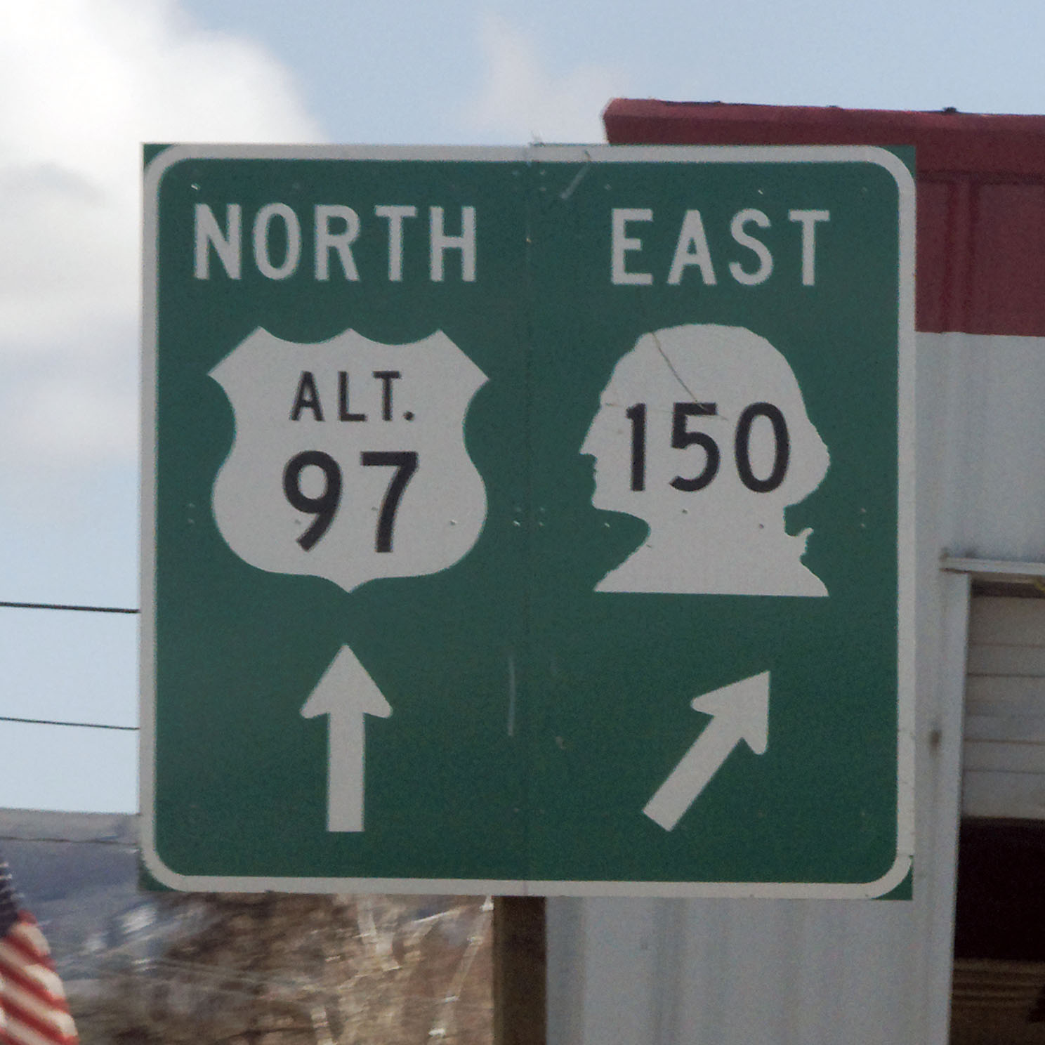
An older ALT 97 shield with the classic shield shape, and the period after ALT.
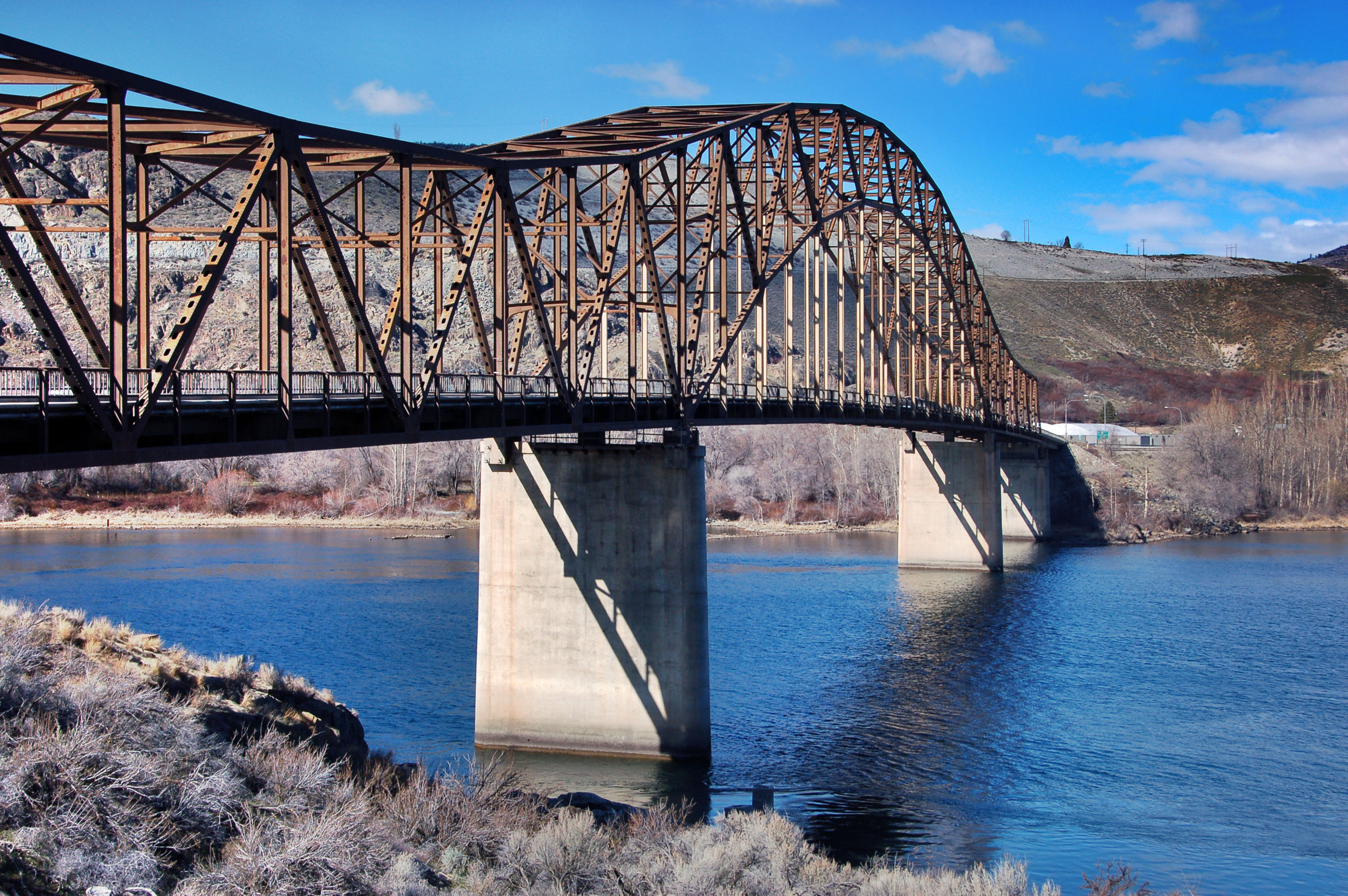
The highway 150 bridge over the Columbia River in Washington.
Heading north on highway 17. The sign is barely legible, but the photo is in perfect focus. See the full-sized photo for how much the road was shimmering from the heat.

Everyone’s favorite town name. At least, it was Dan’s.

Another old 90 trailblazer, which is in slightly better shape.
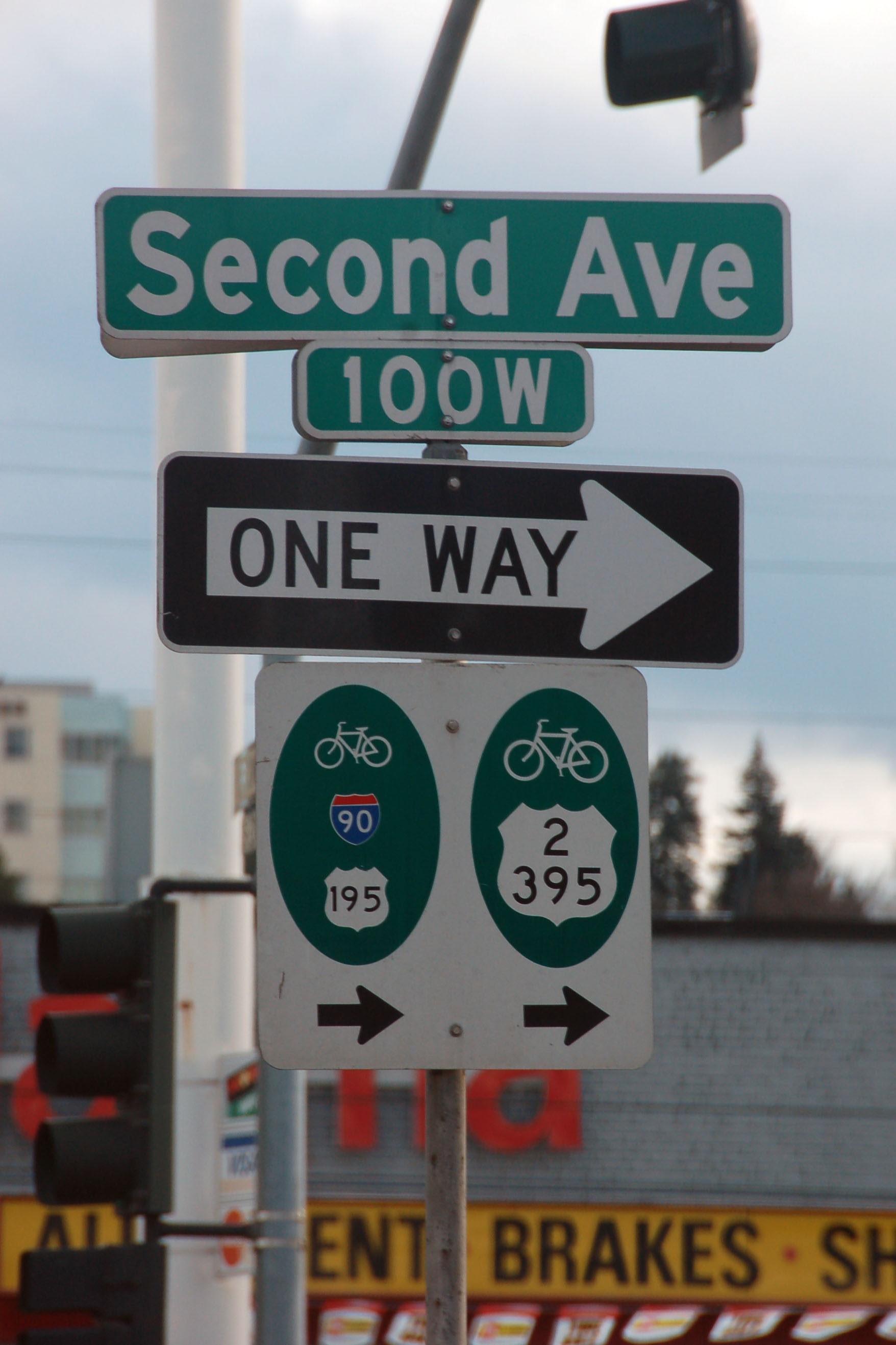
Bicycle shields of Spokane, showing all the major routes through there.
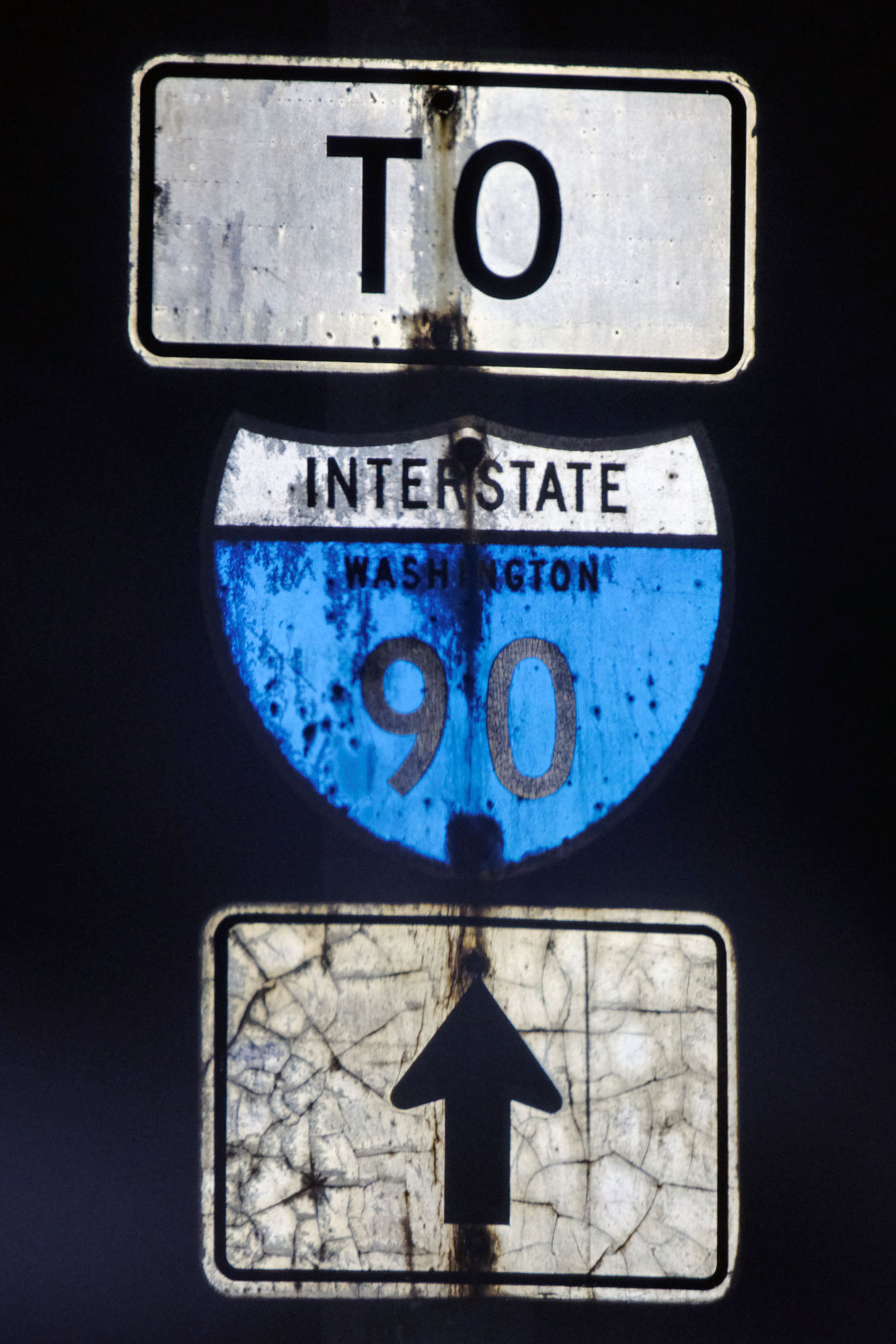
This sign, complete with somewhat goofy-looking mix of 1958 and 1961 specs on the I-90 shield, also dates back to the opening of the route.

How long ago was the Maple St. Bridge tolled? Long enough that Washington still hadn’t started using button copy (mid-1960s), and the toll was a whopping 10 cents.
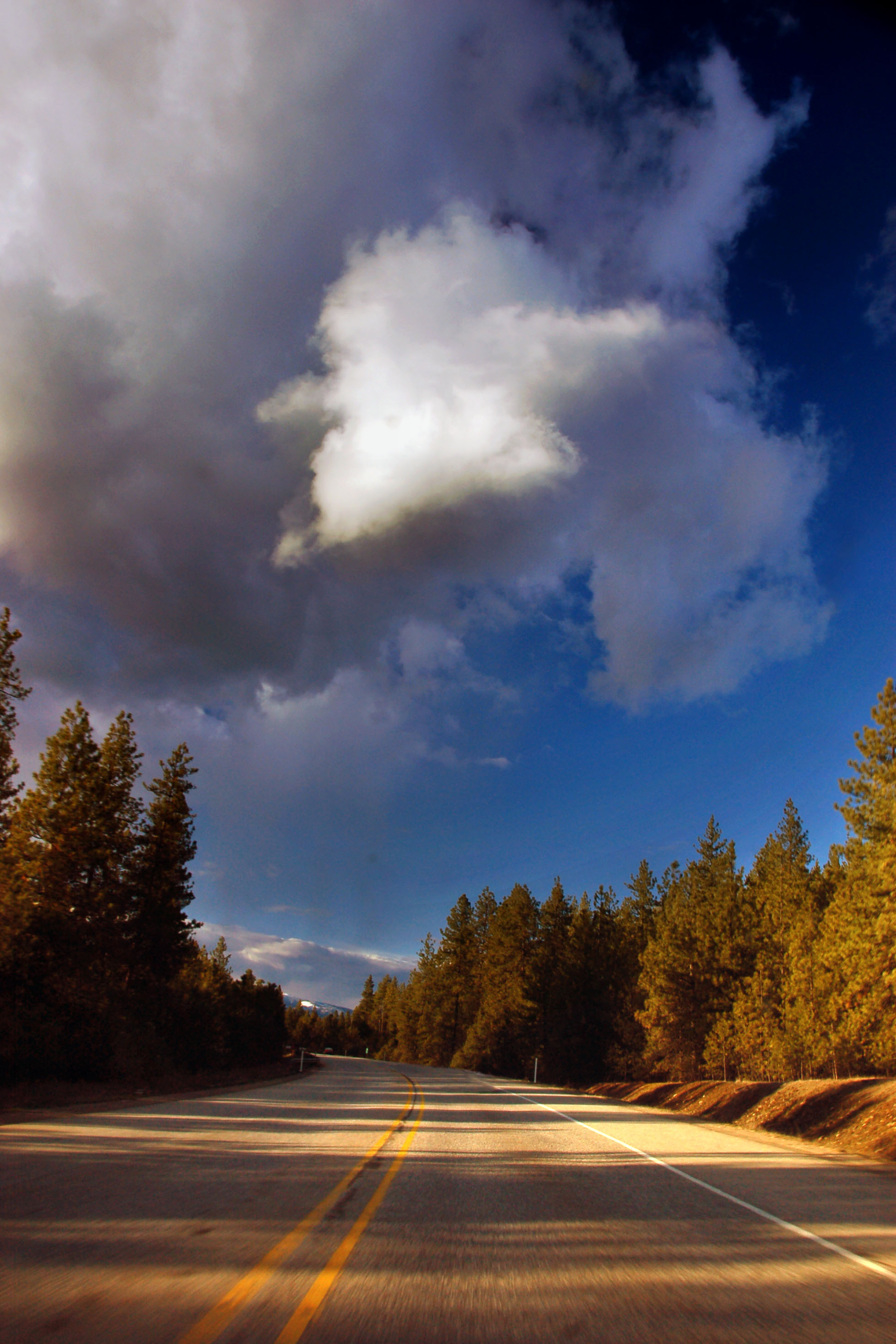
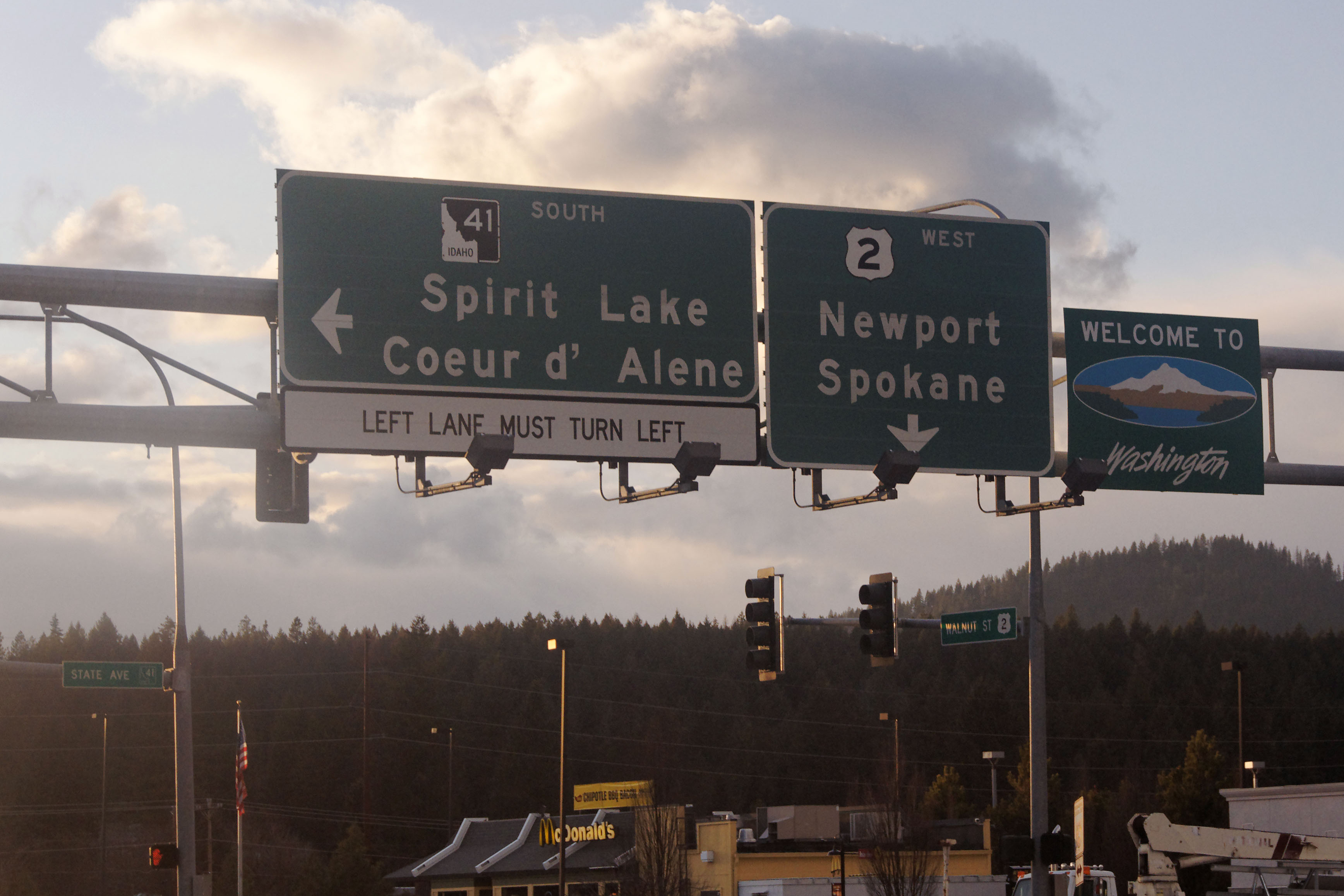
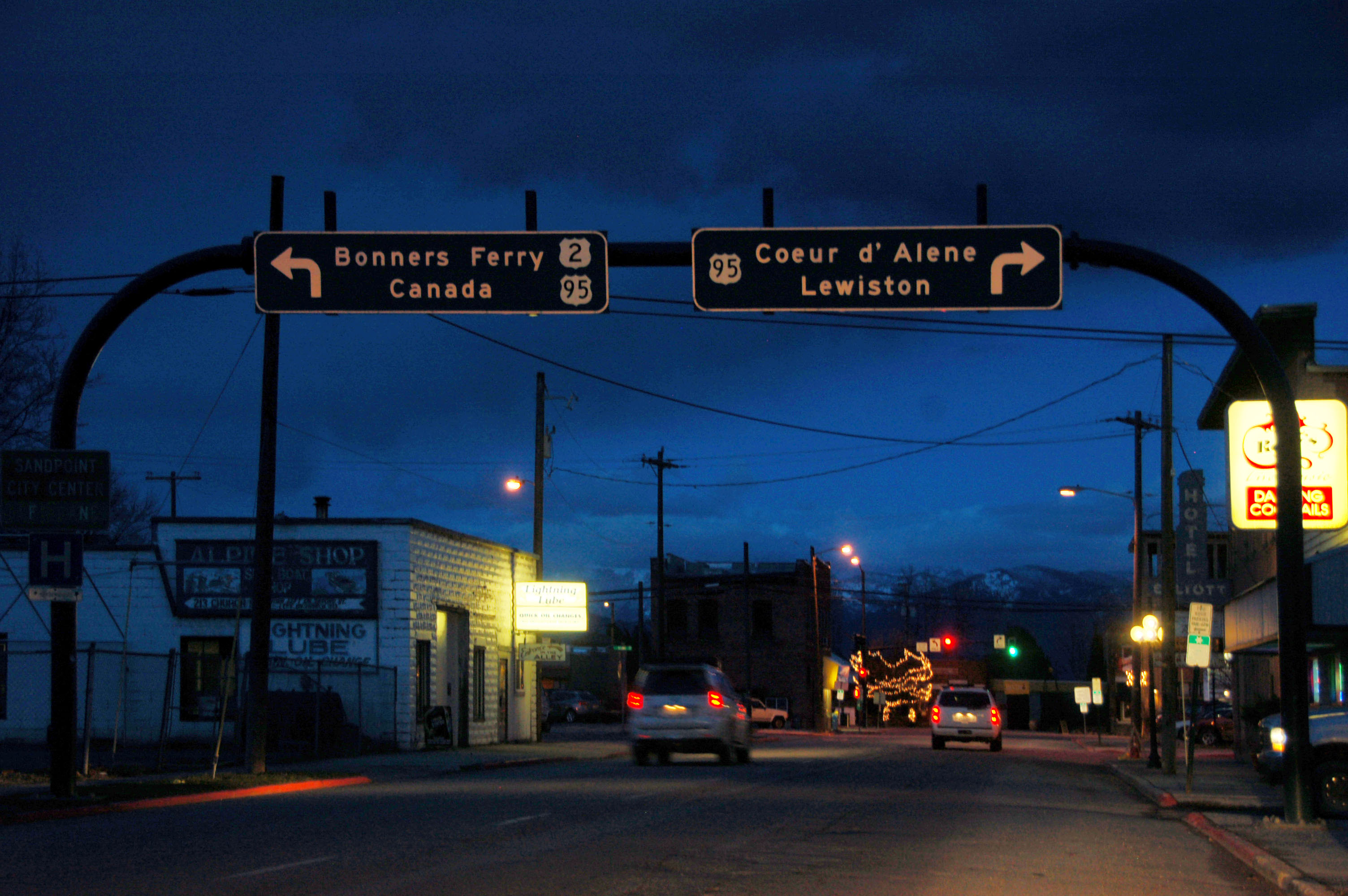
Ominous (but ultimately harmless) clouds over US-2 as we head northeast out of Spokane into Idaho.
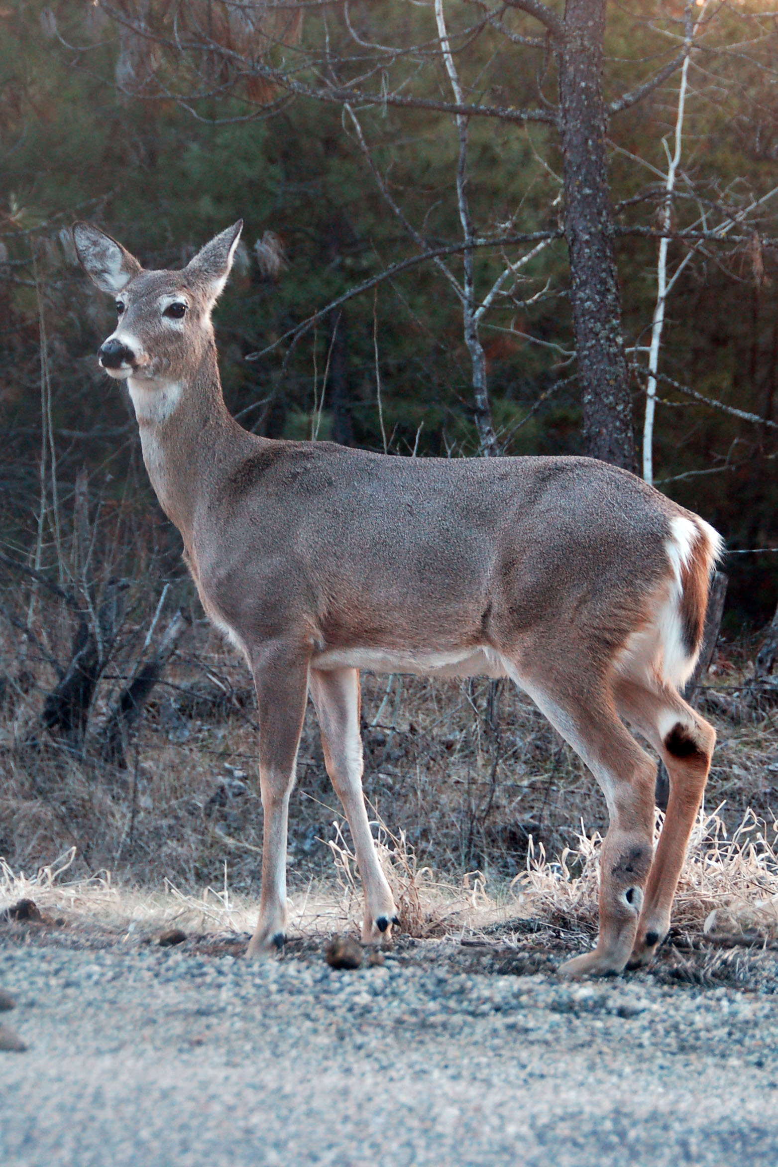
A deer, by the side of an old US-2 alignment.
Almost in Idaho on US-2.
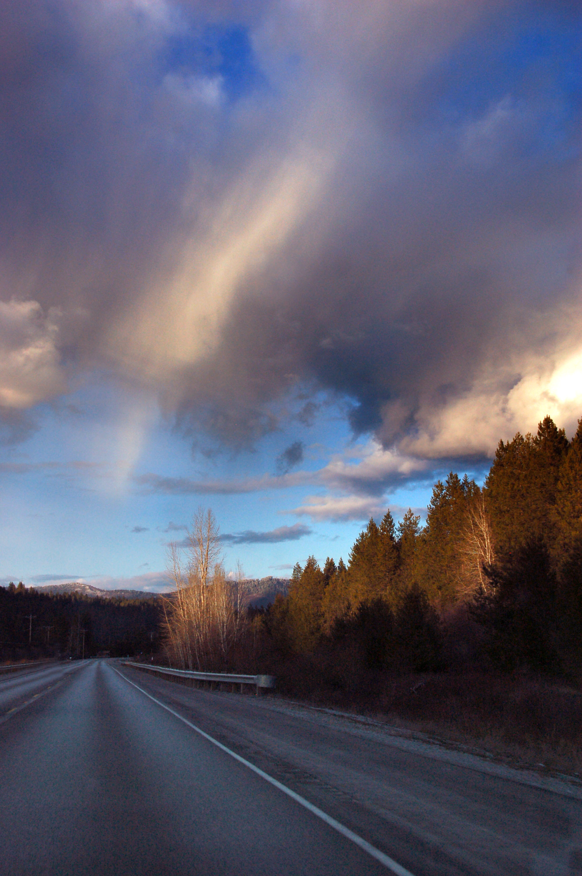
More overhead virga, but no actual rain.
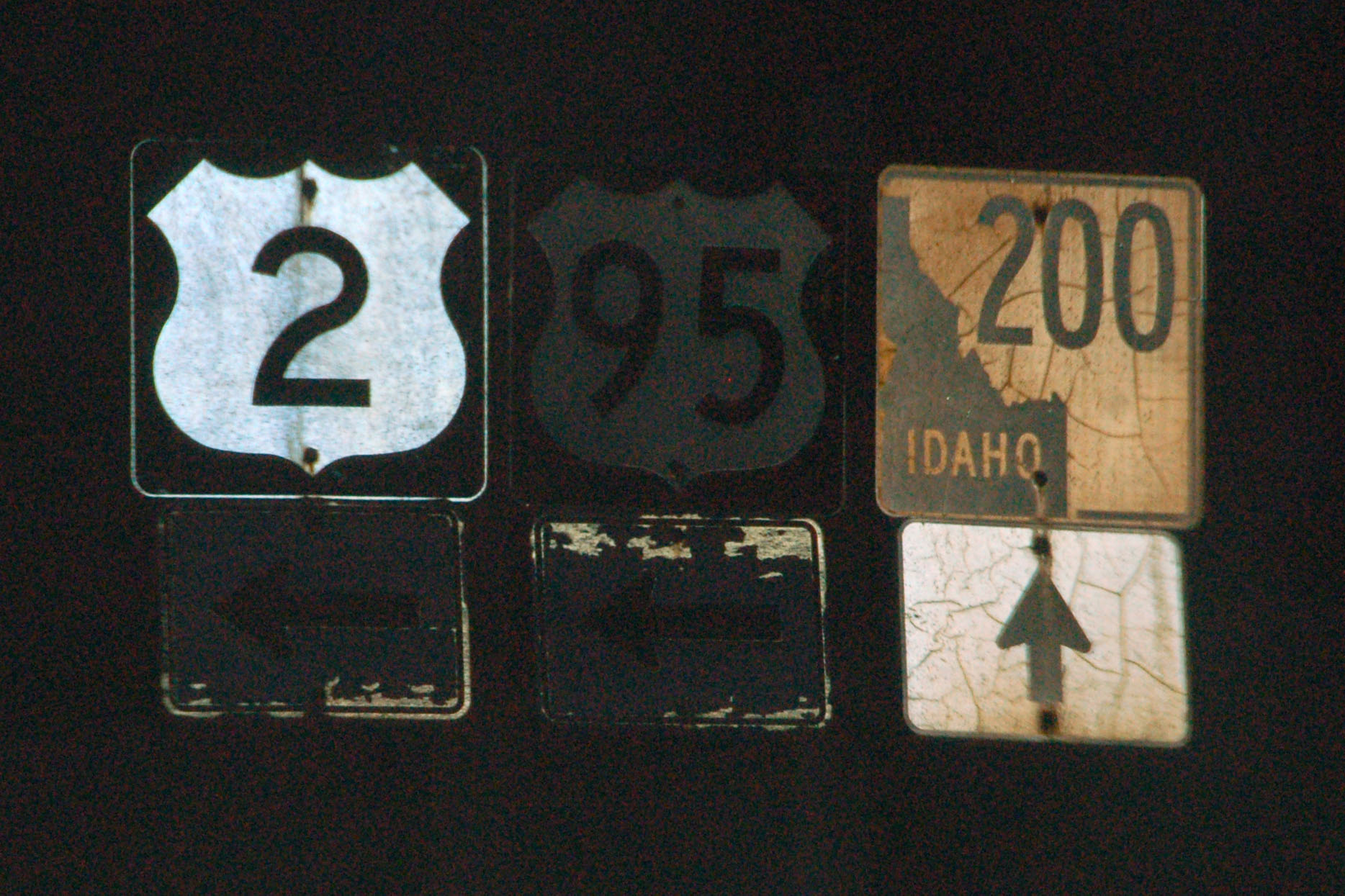
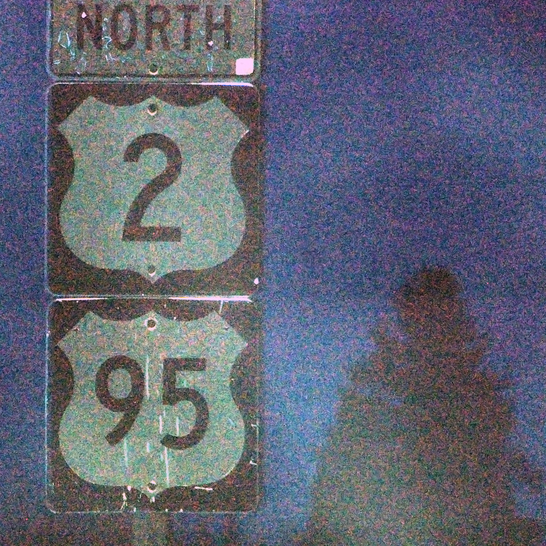
We sure arrived at the wrong time of day to take photos of this old gantry at the Idaho/Washington state line. Note the black outline on the route 2. The gantry is of Idaho origin, except the state line sign was provided by Washington. Also, note in the background the green and white outline shield on the State Ave. street blade. I only spotted that when reviewing the photos – and that is not something I’ve ever seen anywhere else! [Dan photo.]
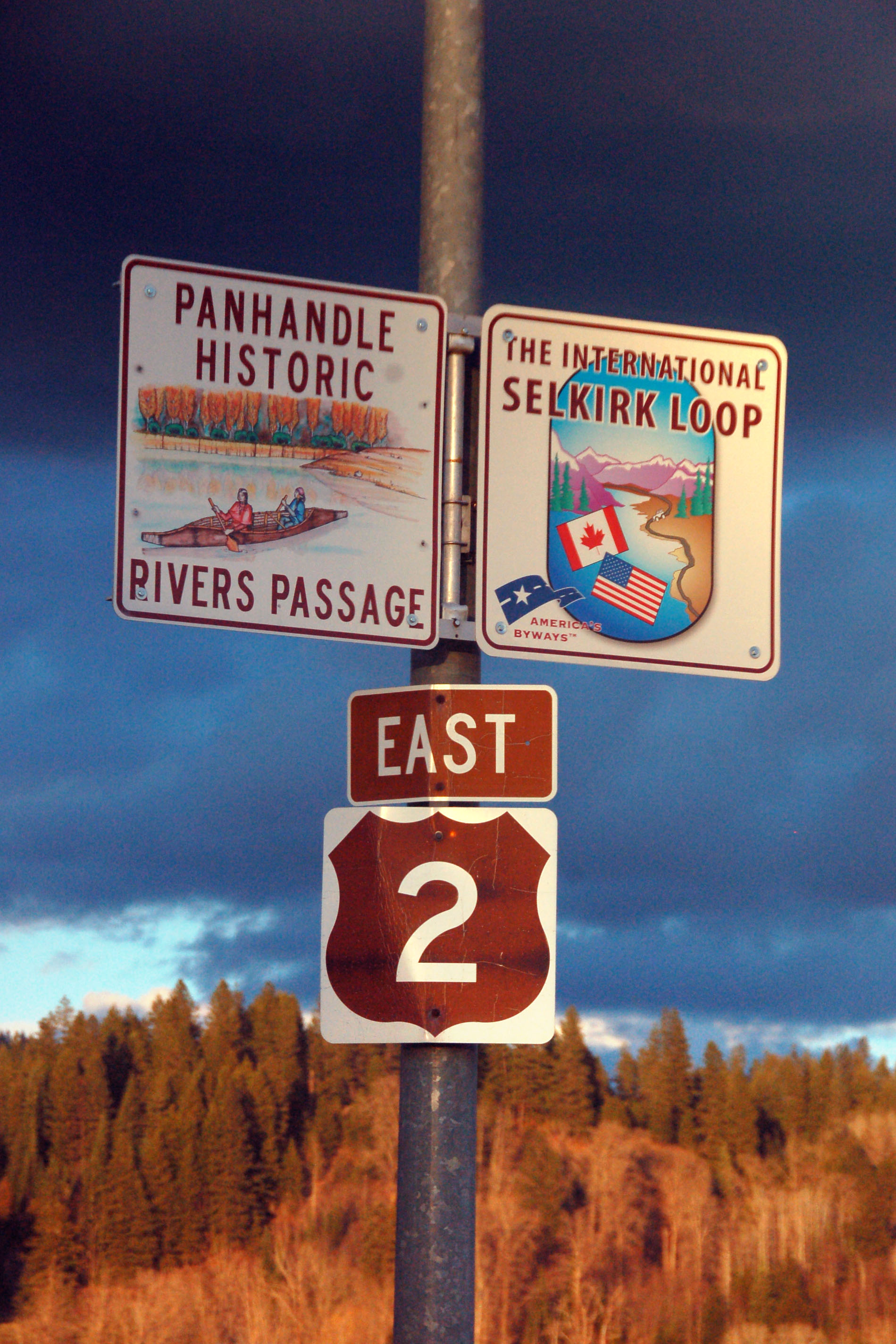
The second US-2 reassurance gantry has both the Panhandle and Selkirk route markers, as well as the Idaho scenic brown shield.
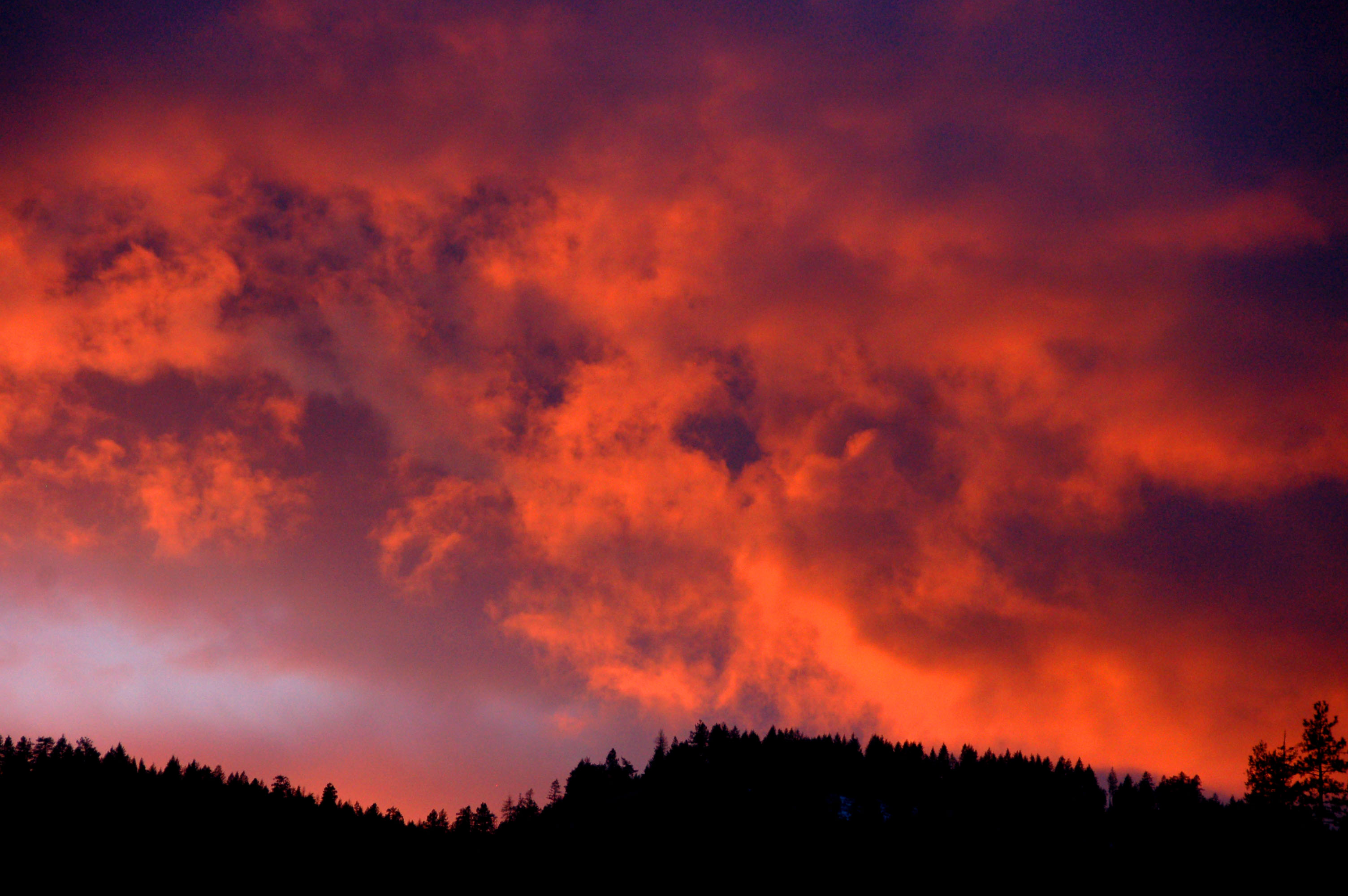
Getting near the end of sunset.
Trees to the south.
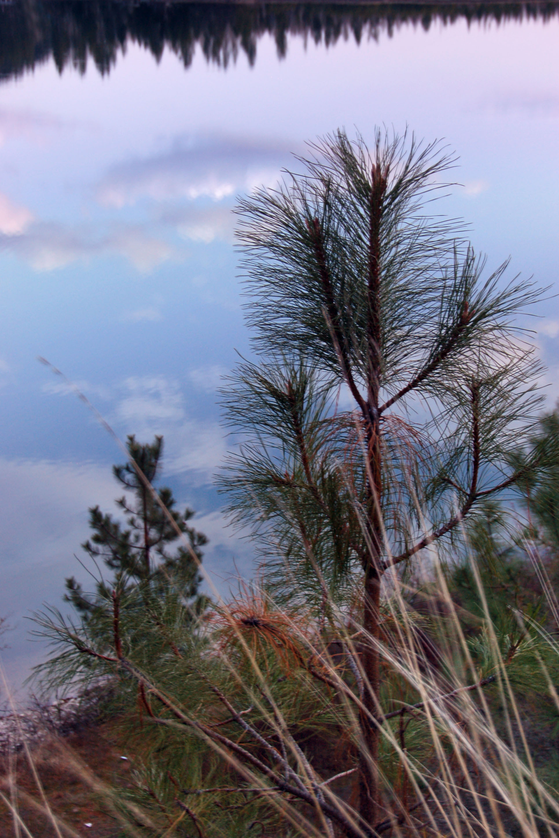
A perfectly reflecting lake behind this little tree.
The view to the north.
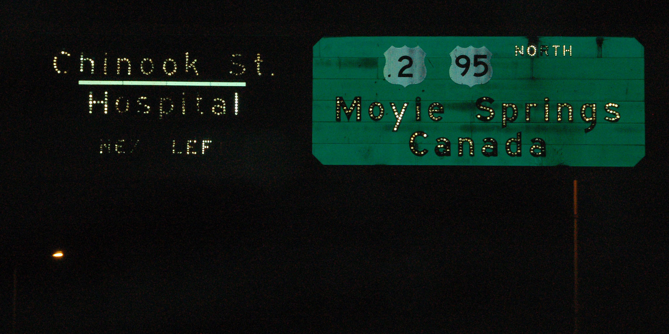
Sandpoint features several of these old green signs all down the main drag.
Some signs reflect better than others.

Several route 200 shields are the wide variety, but they are uncommon. [Dan photo.]
An awful photo of two signs that have lost nearly all reflectivity.
Idaho experimented with some retroreflective-background button copy signs in the 1980s.
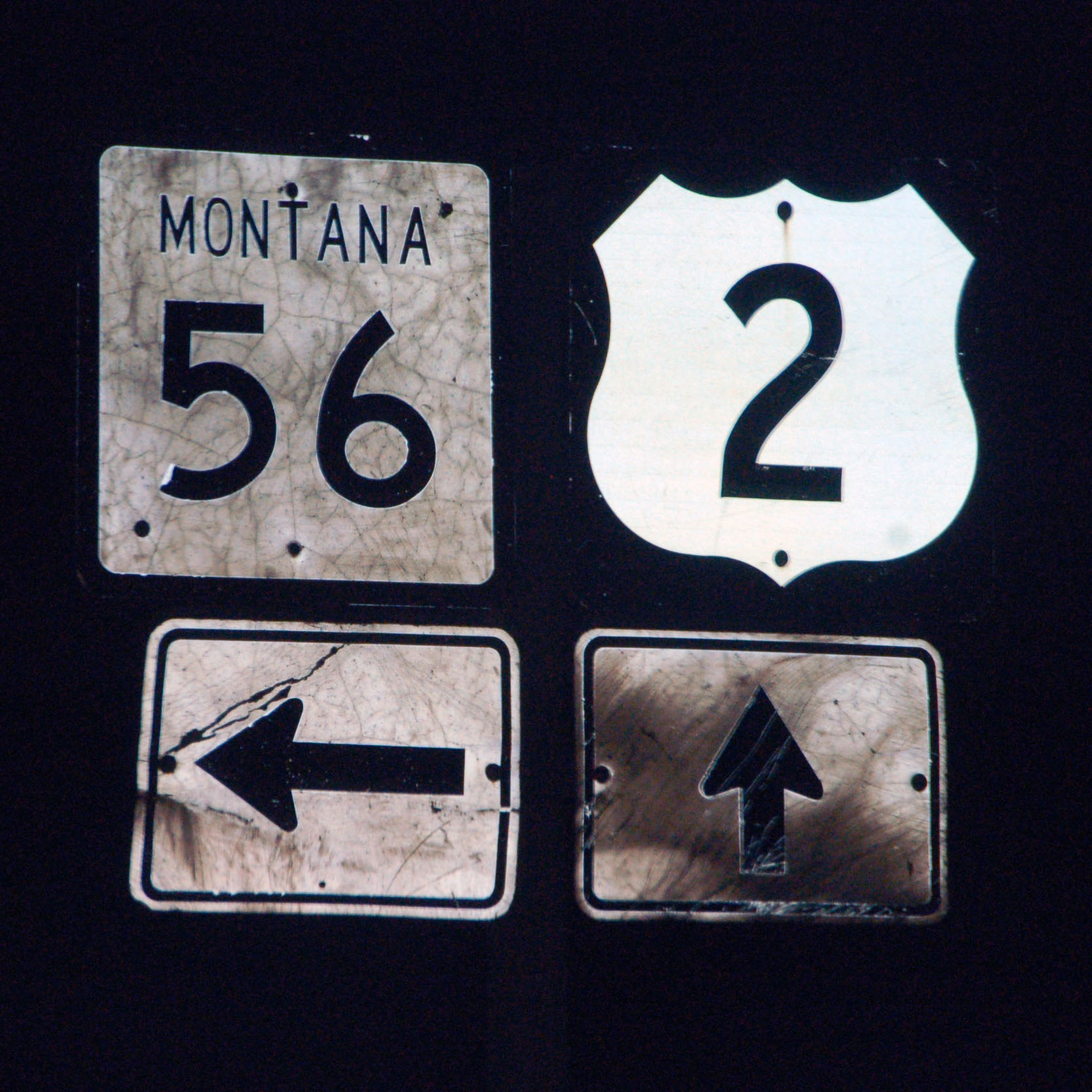
Look at that, we’re in Montana. We were on the trail of a rumored cutout US-2 marker. We found no such thing, unfortunately.
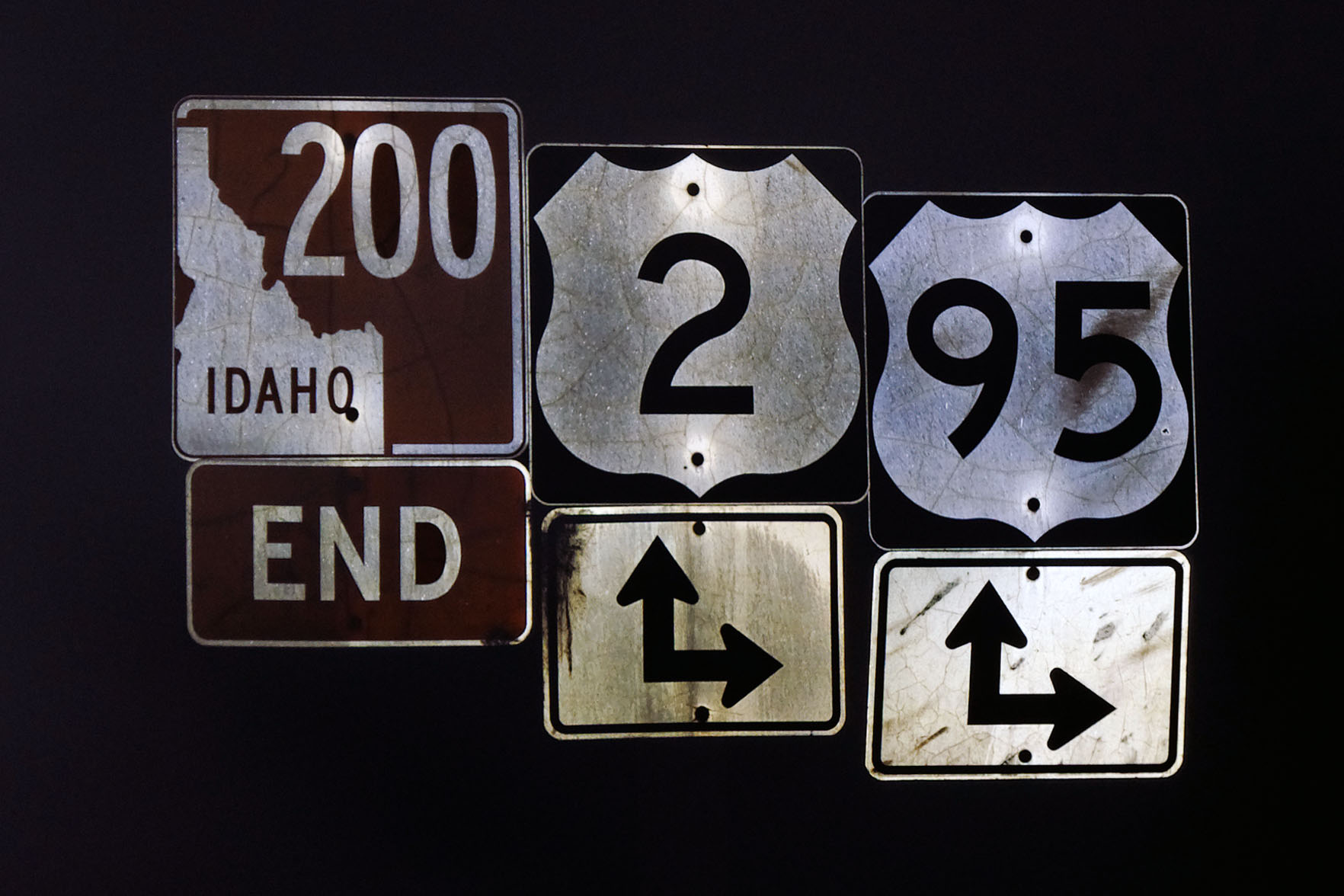
End of route 200. We were in Montana only briefly, and cut across from 2 to 200 on state highway 56. 200 runs for over 1358 miles with a single number, running into US-2 again just west of Duluth, MN. It was given the number in the 1969. Washington route 20 was almost numbered 200 as well, but it would have split off from US-2 after a multiplex long enough that it was given a separate number. [Dan photo.]
95 does not enter Washington – and even when it did, it was for only a mile or so – but there are trailblazers for it in several places in the state. [Dan photo.]
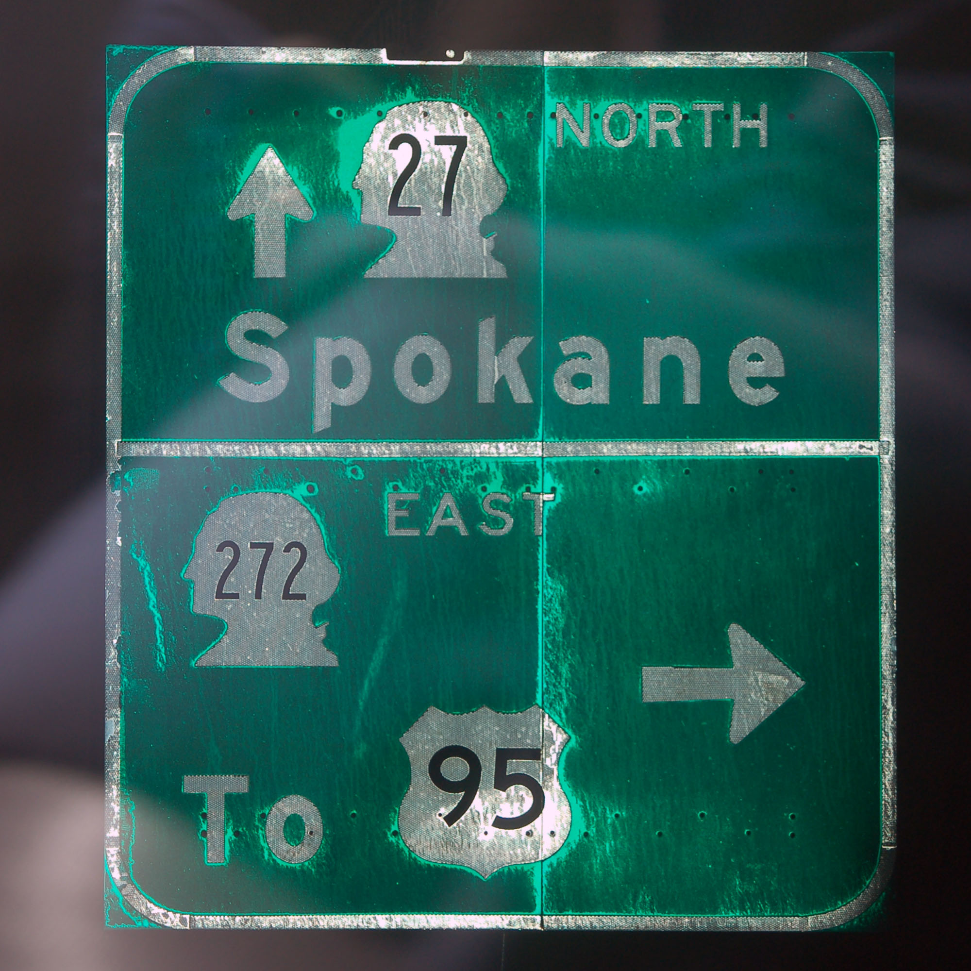
A very thin-stroke variant of Series B, that looks pretty close to Series A, on numbers 27 and 272.
This 1960s I-90 shield survives. It may be the last 21×18 shield in Washington. [Dan photo.]
These 1960s green signs can be found at a lot of interchanges with I-90 in the Snoqualmie Pass area.
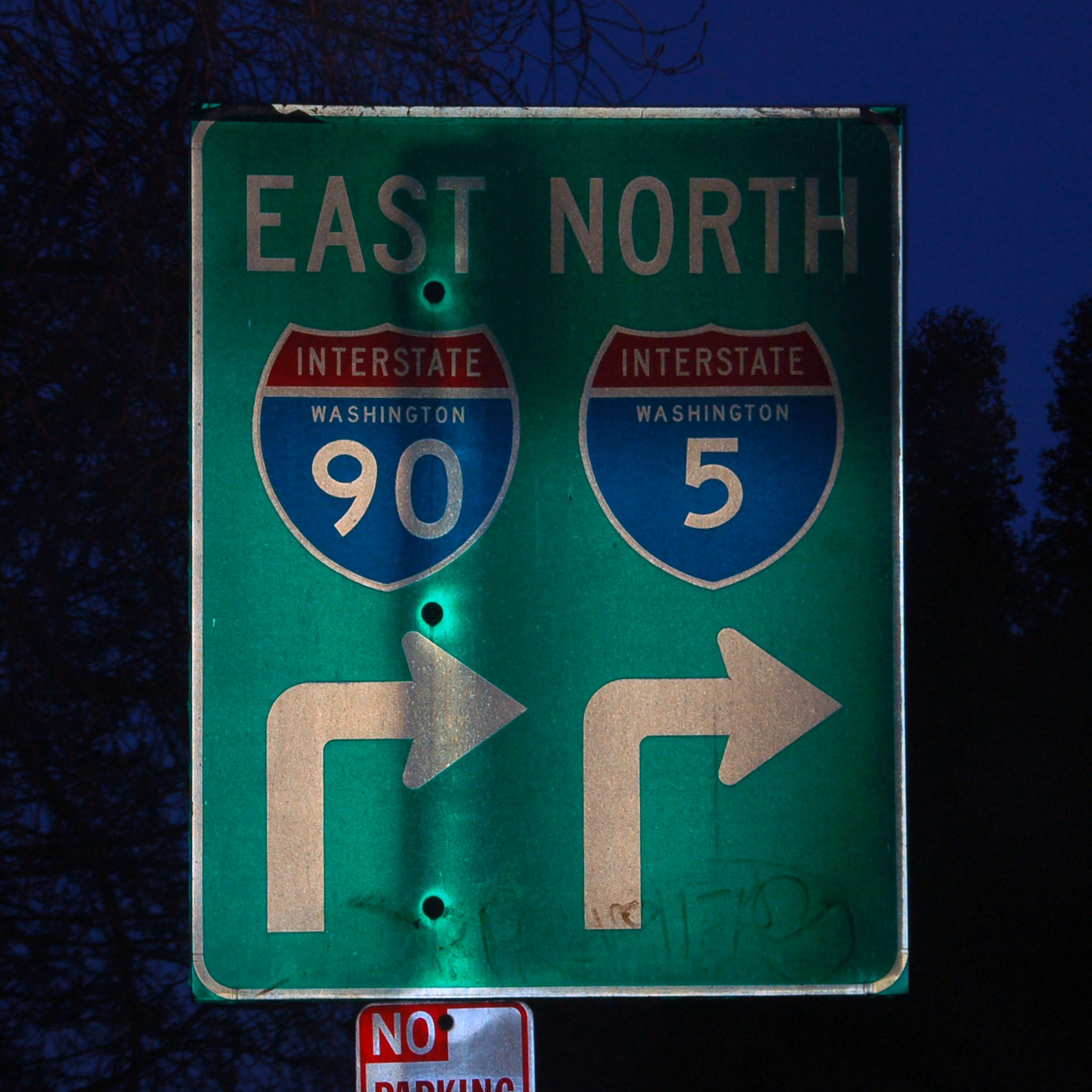
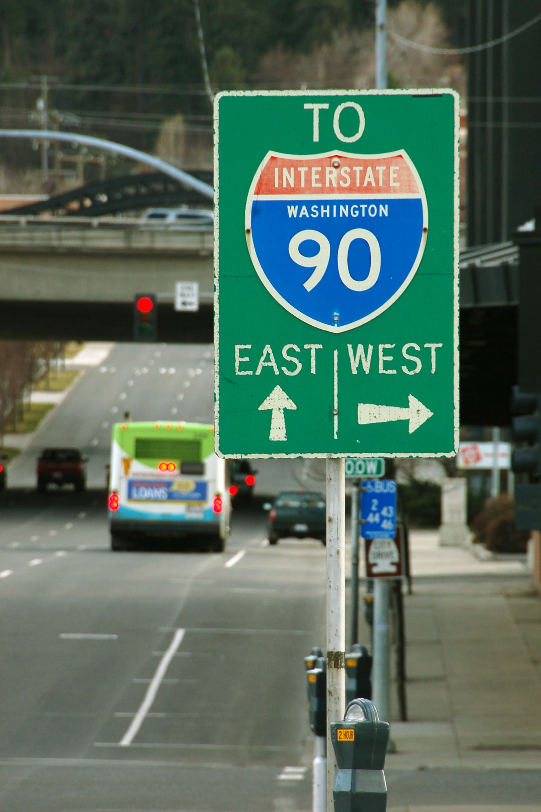
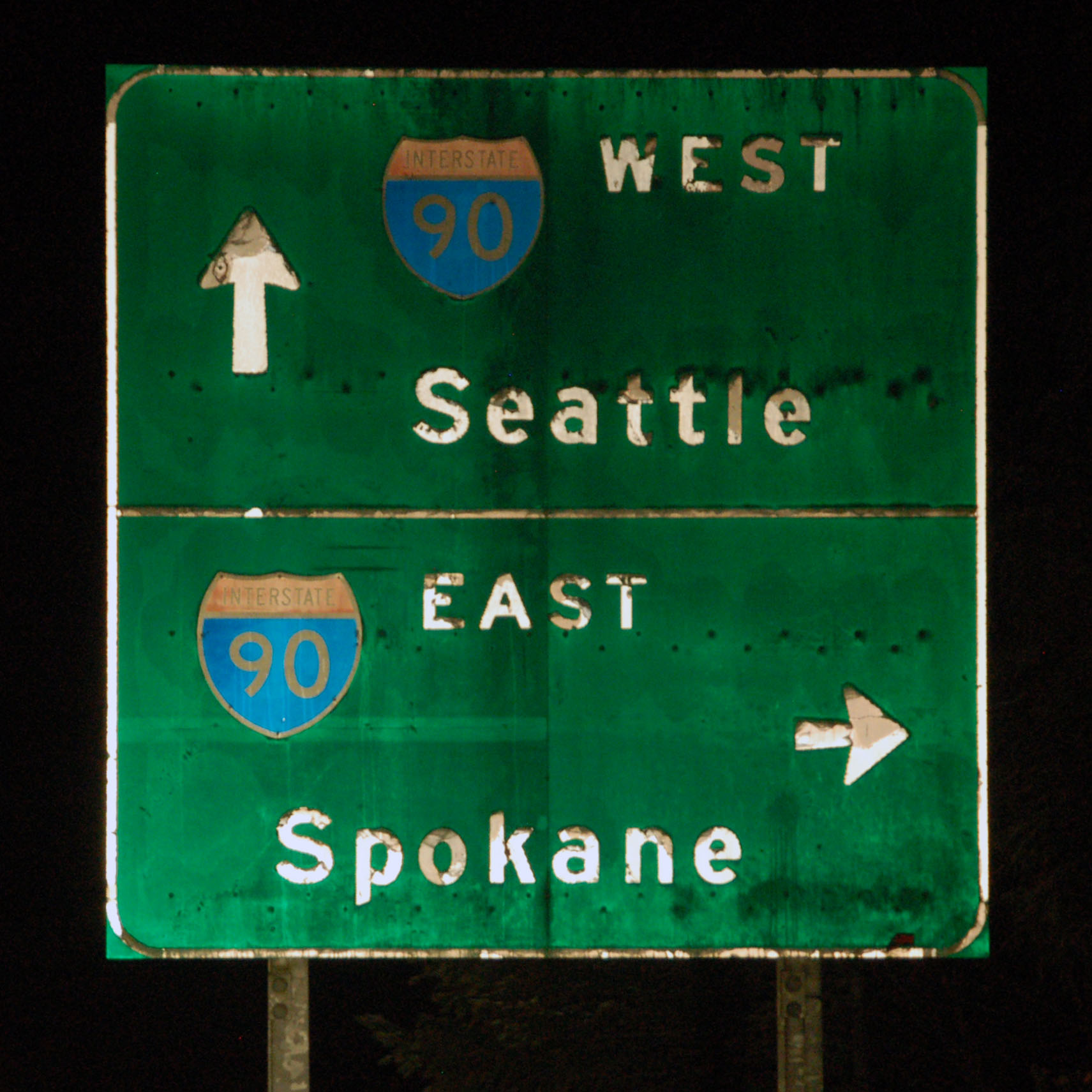
And we’re back in Seattle. Most of these green signs with both 5 and 90 on them were replaced when the Mariners got their new stadium, but a few survive.

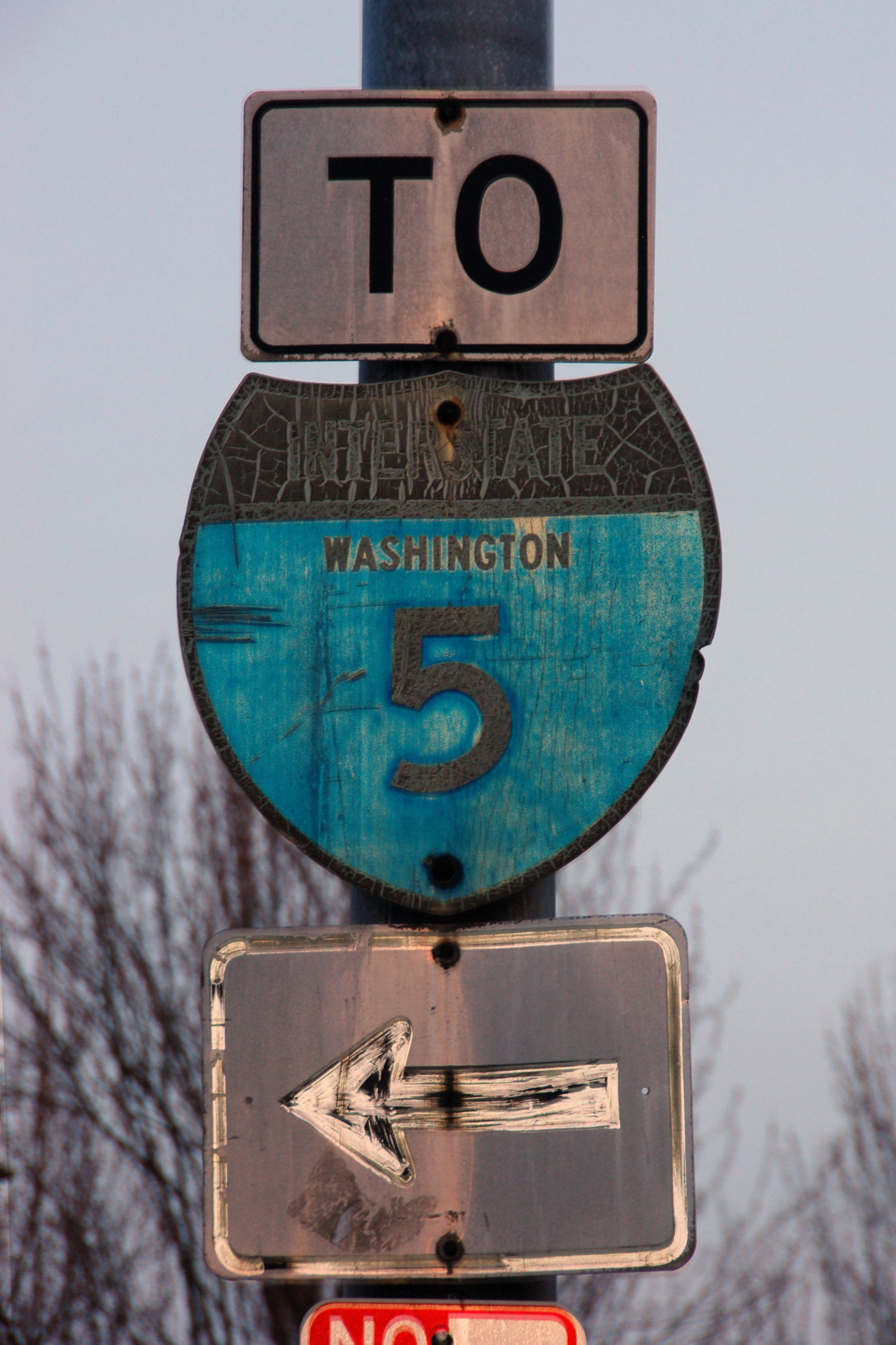
Washington’s always liked putting their interstate shields on white squares.
This shield is old enough to have a black scotchlite (black, but retroreflects white) arrow under it. It goes back to the 1960s.
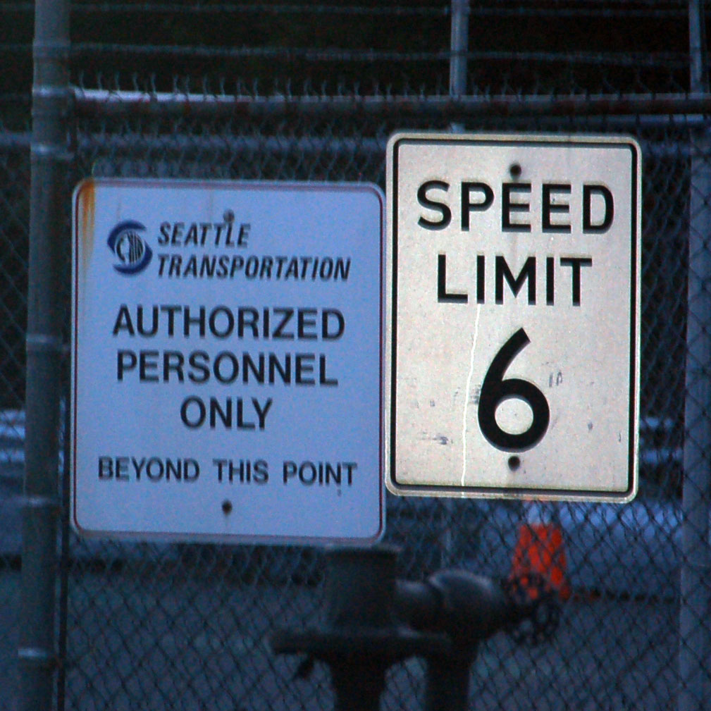
A City of Seattle sign – note the upside down letter “S”. Oh, and yes, the speed limit is six. You don’t see that very often.
Excellent old button copy in Tacoma.
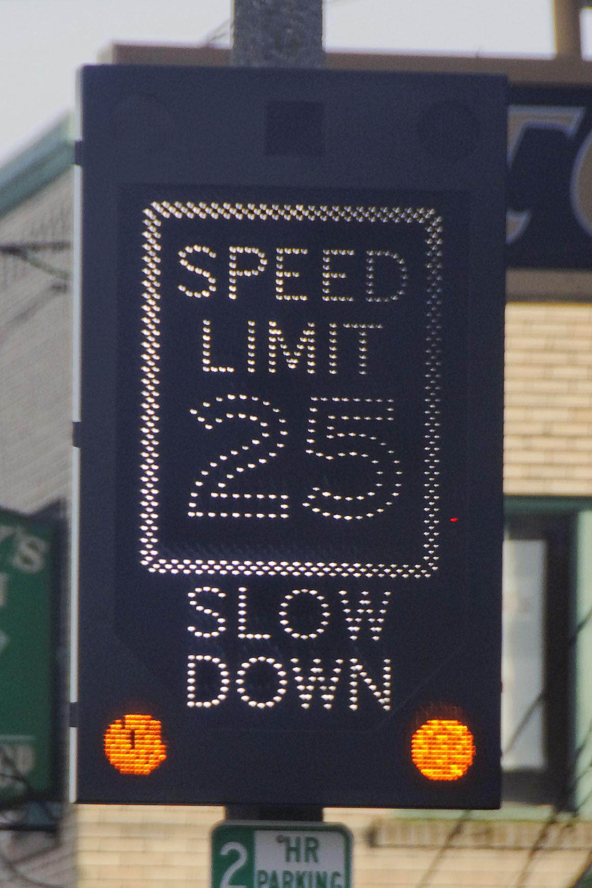
An attention-getting speed limit sign made up of LEDs. [Dan photo.]

I don’t think the street where this sign is found is actually state route 7 anymore.
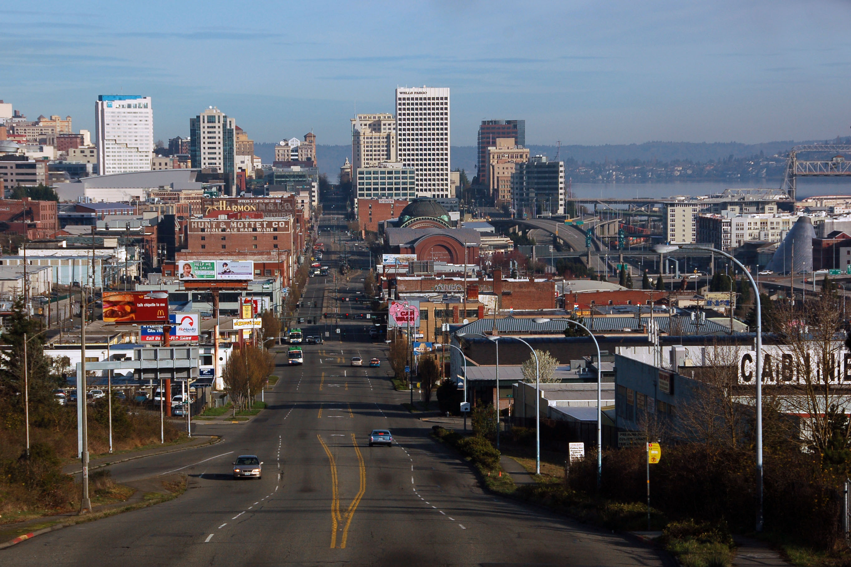
Tacoma’s main drag.
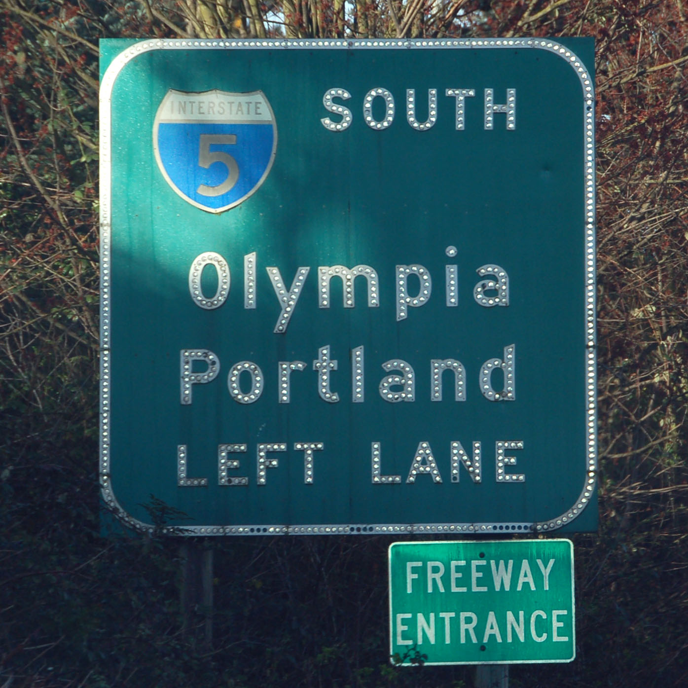
Getting close to the airport because we’ve got a flight to catch.
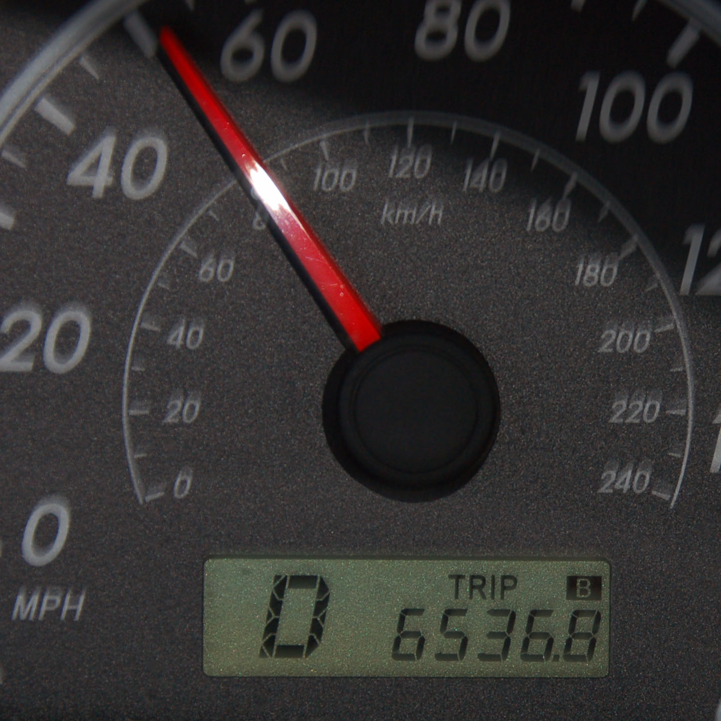
And that’s the end. About a tenth of a mile before the rental car return. Over 6500 miles in 7 days of driving.
Bicycle I-90?? Also, the 27/272 appear to be Series B to my semi-trained eye… maybe a narrower stroke width is all.
you’re right, that is B. Funny how much nicer B looks with the stroke width reduced!
who took that picture while they were driving 52 mph?
that would be me, on the access road at SeaTac.
Ok, I had to know so I googled it. Apparently Idaho was a name that a mniing lobbyist made up he claimed that it was an Indian name meaning “gem of the mountains” and the name stuck.