
the third day of our trip, on which we actually cross into Alaska, and complete the Alaska Highway.
Dawn in Yukon. Just past Haines Junction, we hit the final stretch of Alaska Highway.
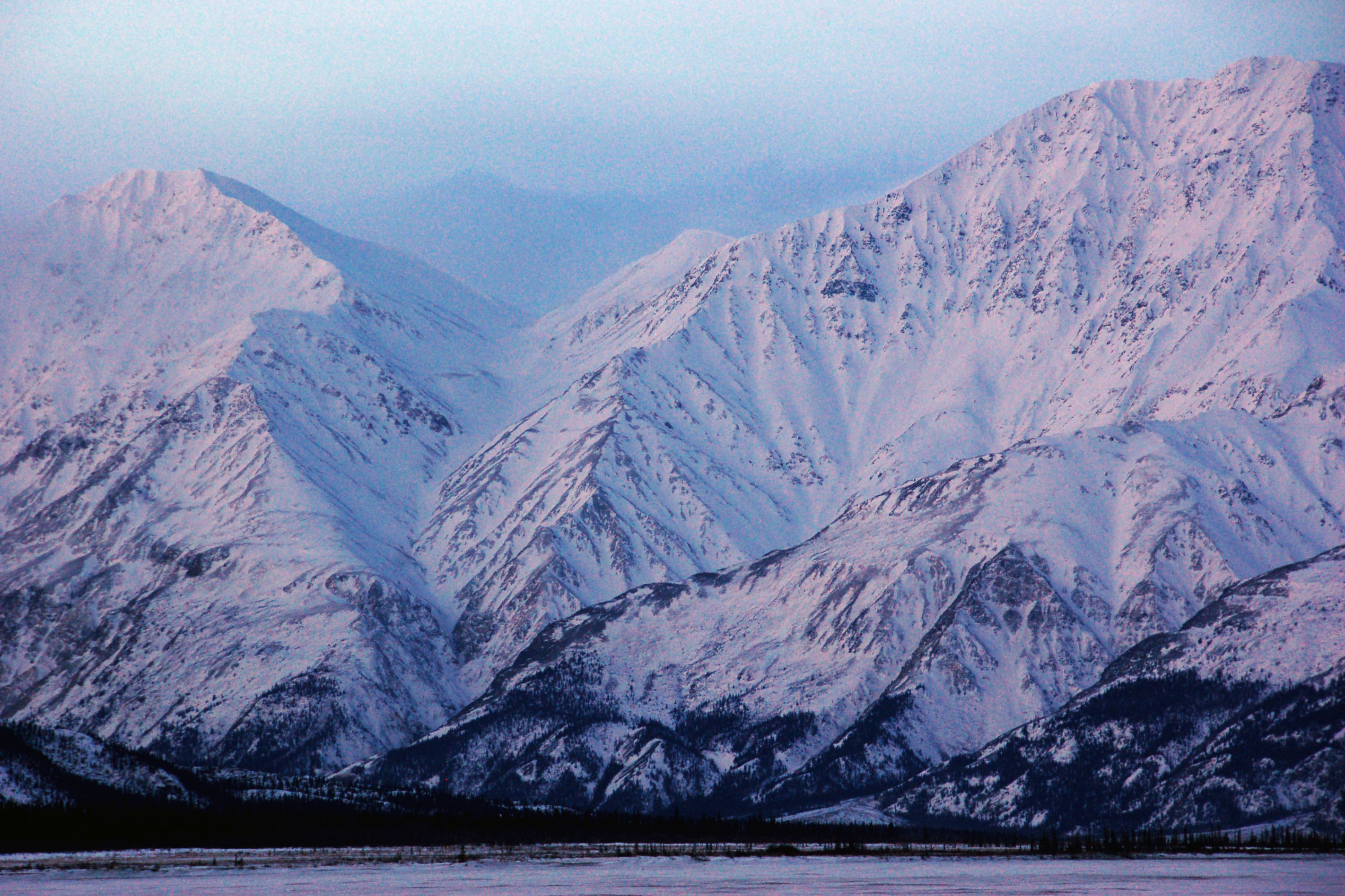
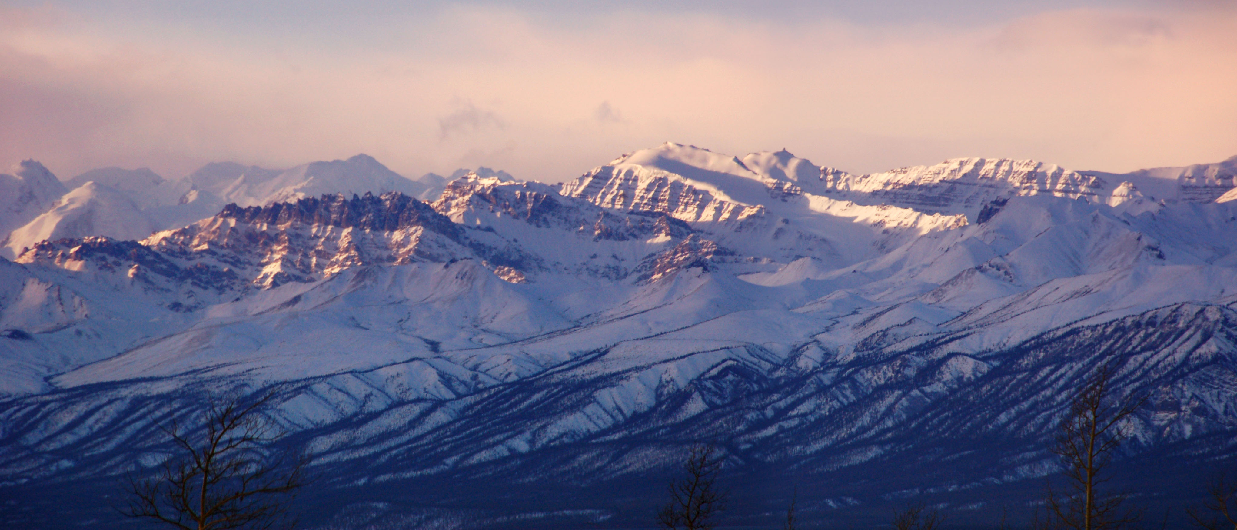
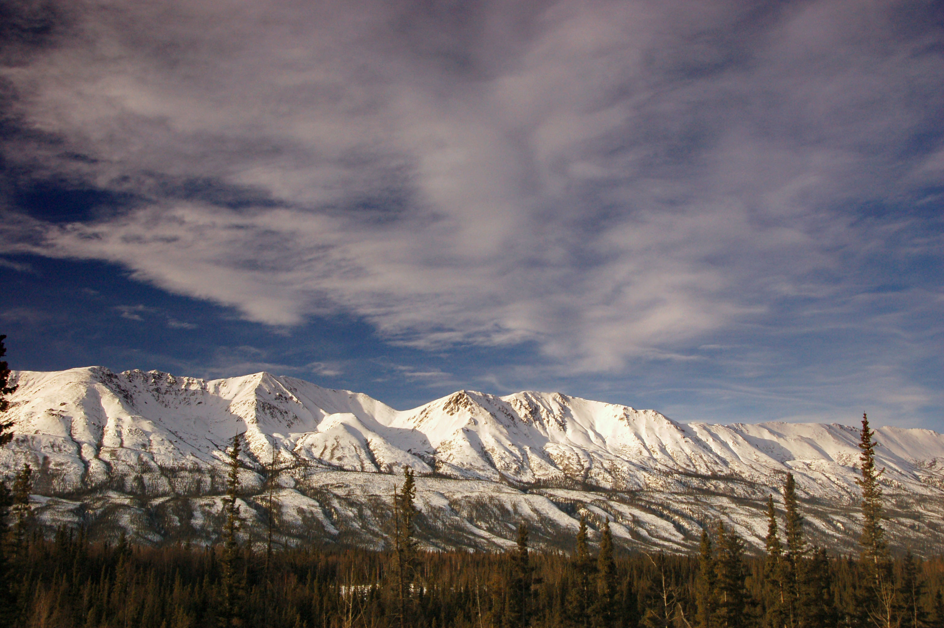
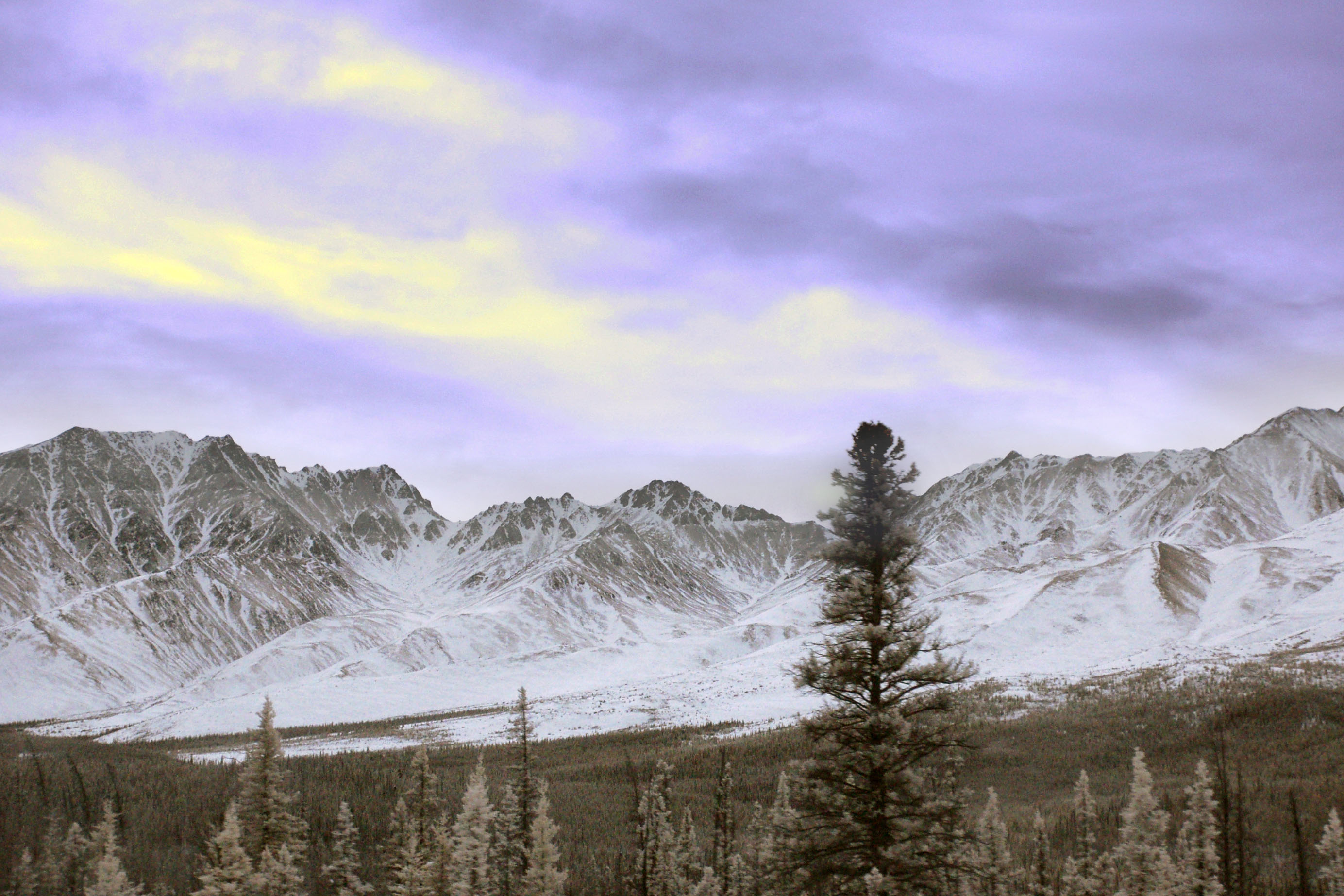
Close-up of distant purple mountains over Destruction Bay. Yes, that is what it is called! It was named by the troops who were building the road in 1942, and had the wind blow away their new structures.
Making good time to Alaska. It is our understanding that, while there are speed limits in Yukon, they are enforced extremely rarely.
We made it!
Alaska in infrared.

End of the line. 31 1/2 hours to clinch the Alaska highway.
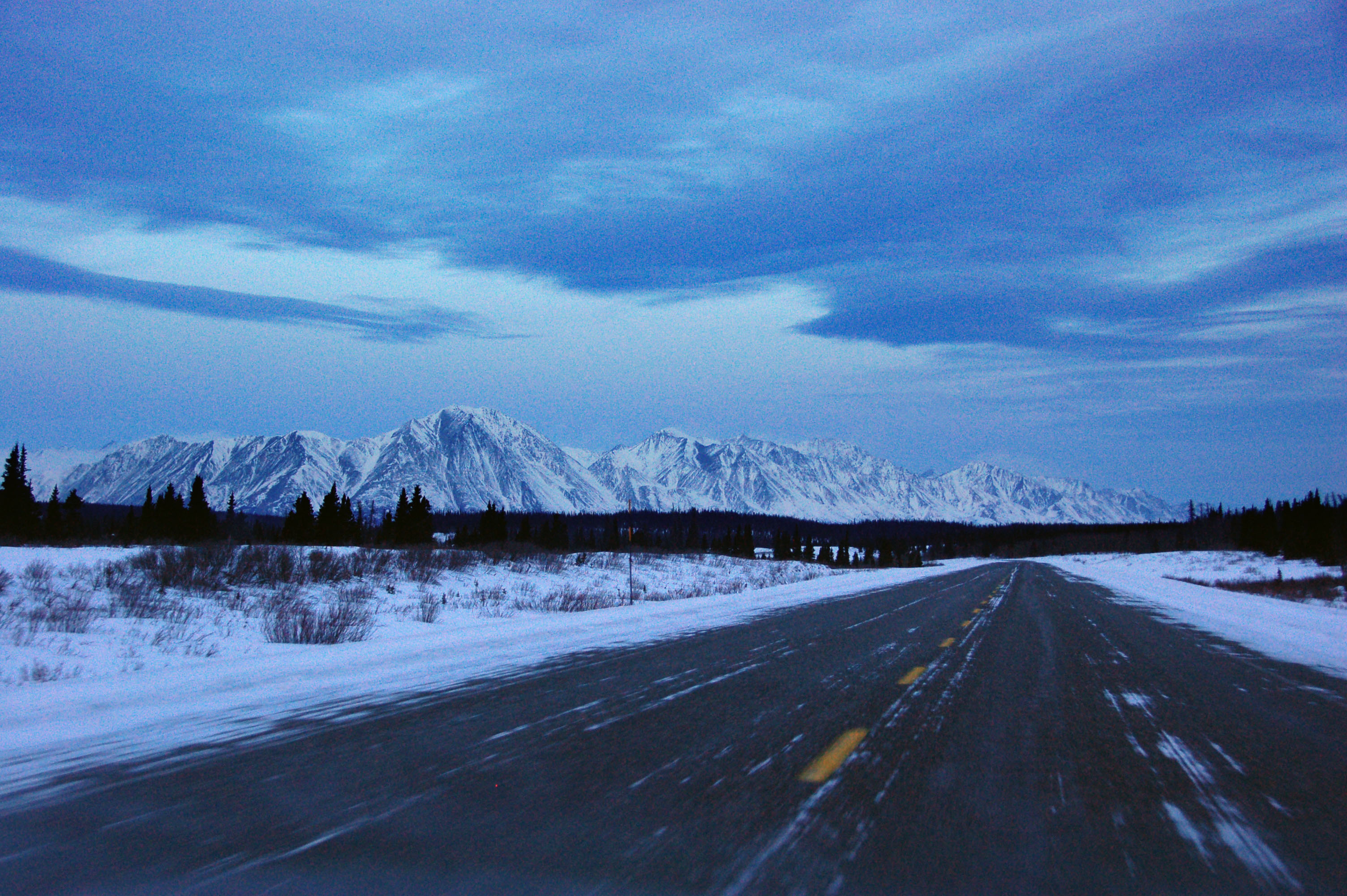
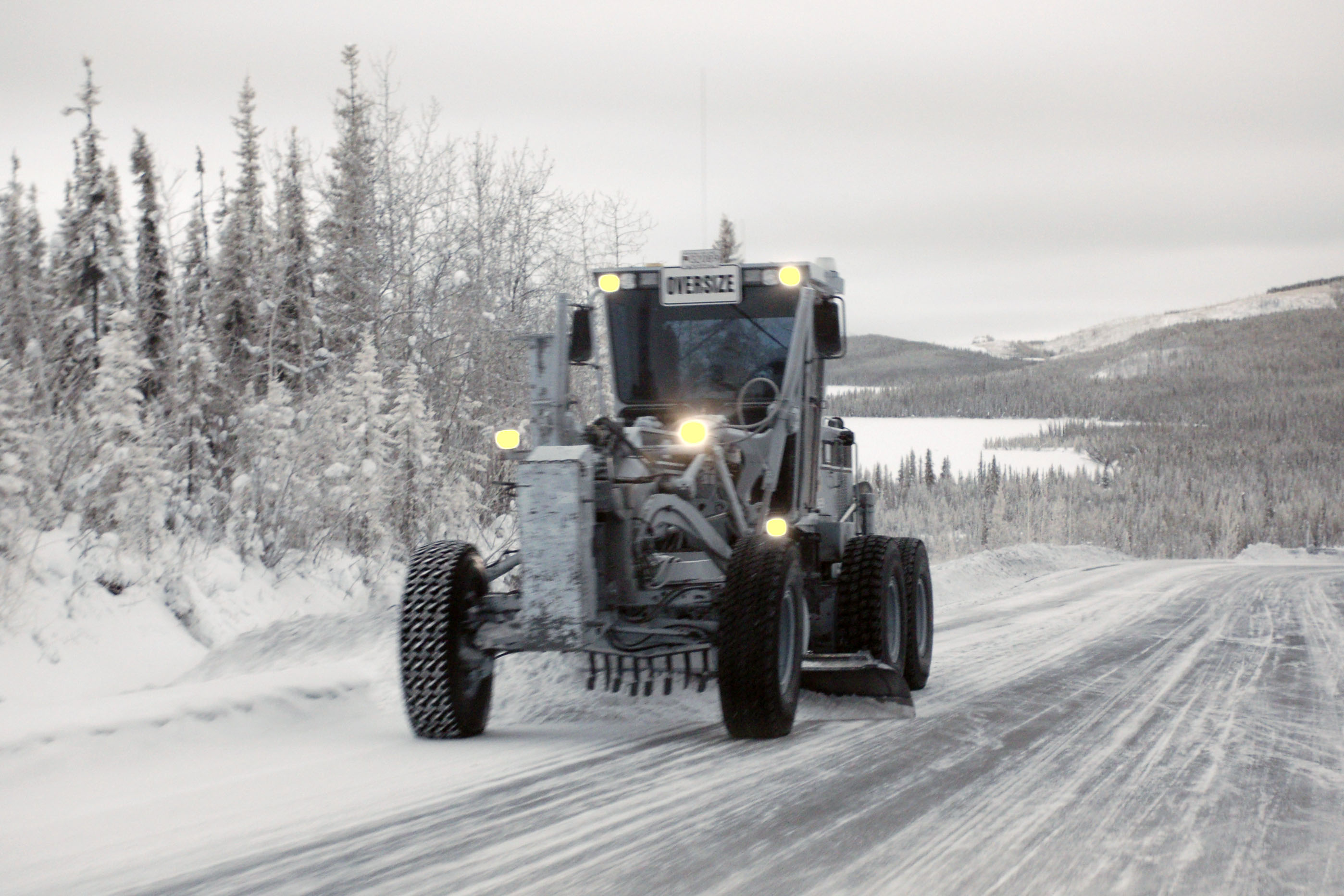
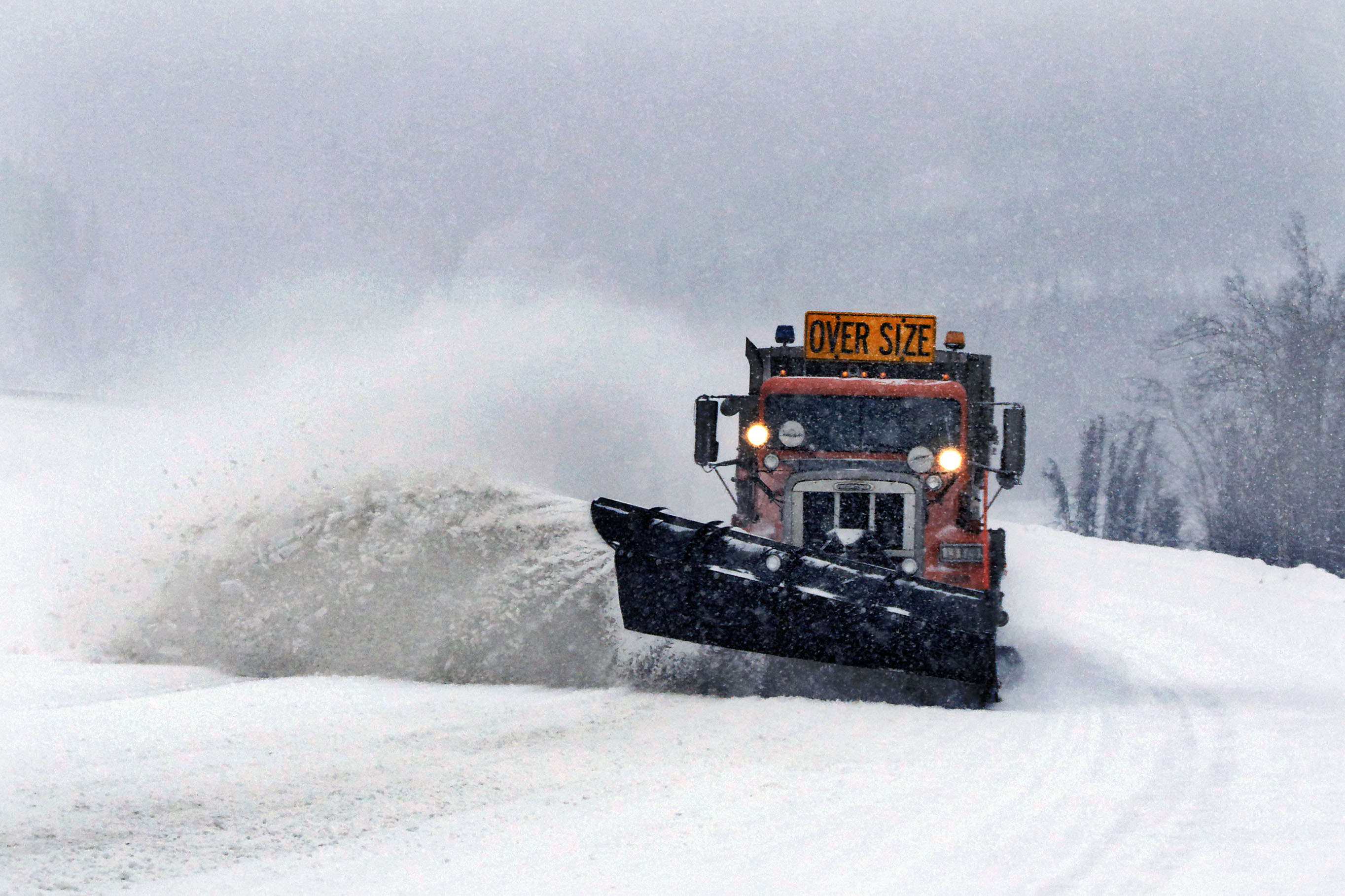
Things start to get a little interesting on the road to Anchorage. Around here, we’re reminded that we’re in Alaska. In the middle of winter. Who’s responsible for this brilliant operation?
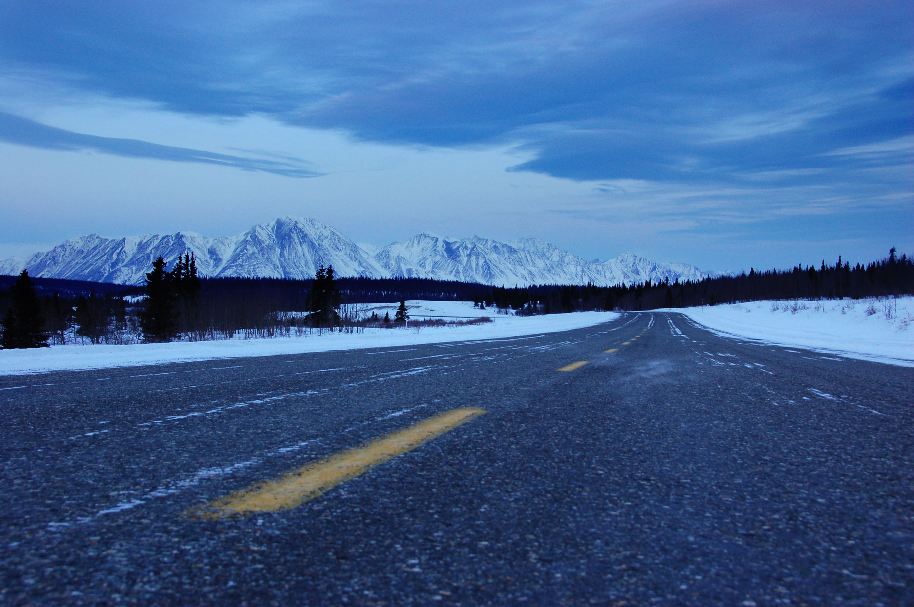
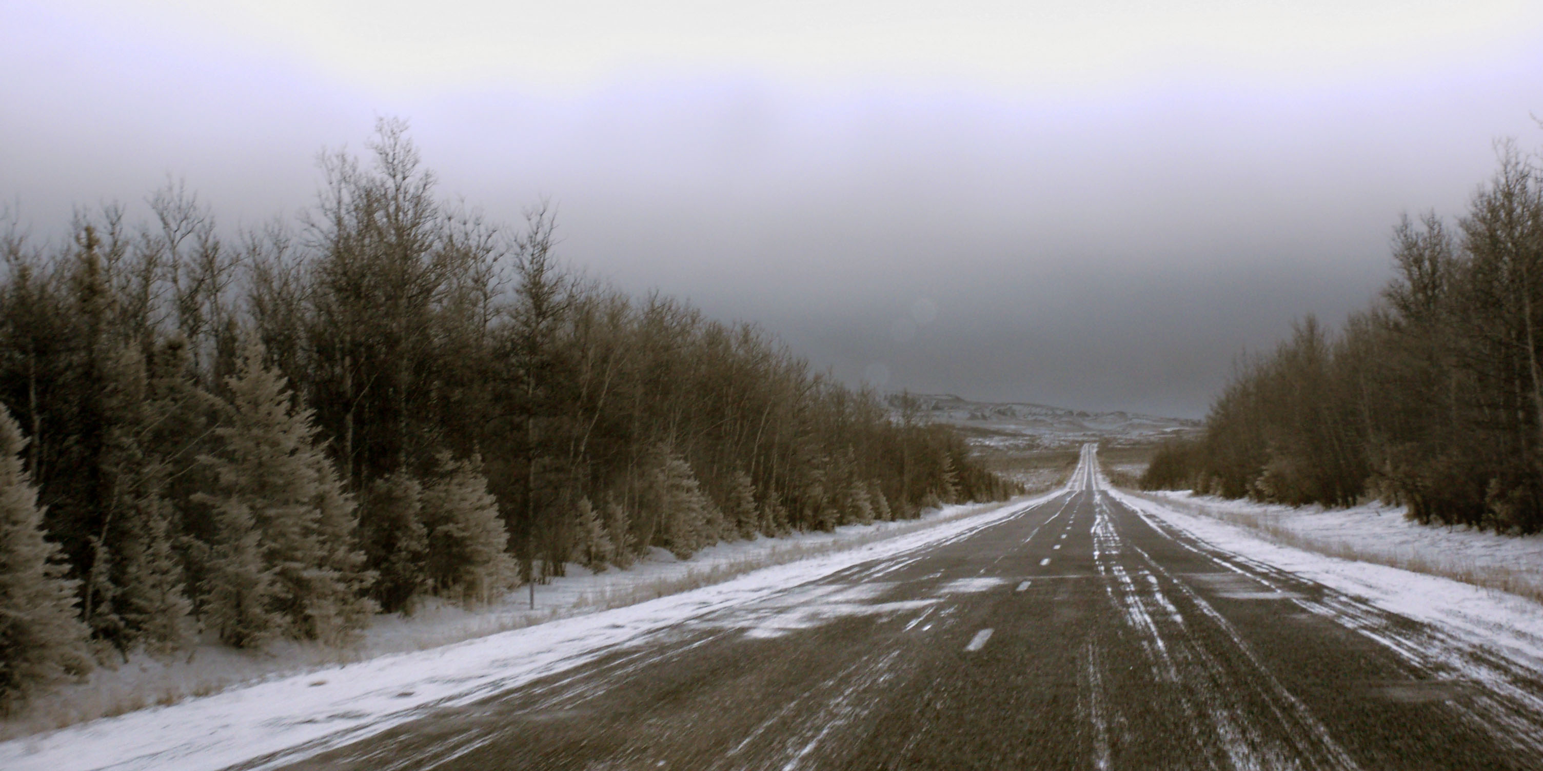
First photo of the morning. Heading west at a moderate speed.
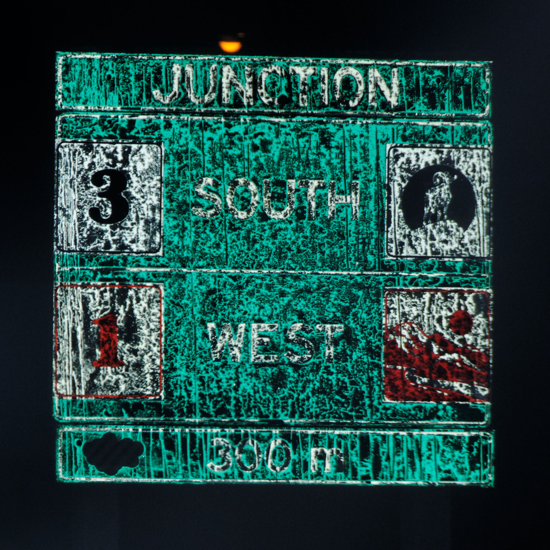
Highway 3 is the road to Haines, which is in Alaska. The road passes through British Columbia along the way. Although you’d be hard-pressed to tell from this photo, route 3’s symbol is an eagle.
Just a minute or two after the photo I led off with … here, we actually got out of the car for a bit!
Here’s what the scene looks like in infrared. Pretty similar.
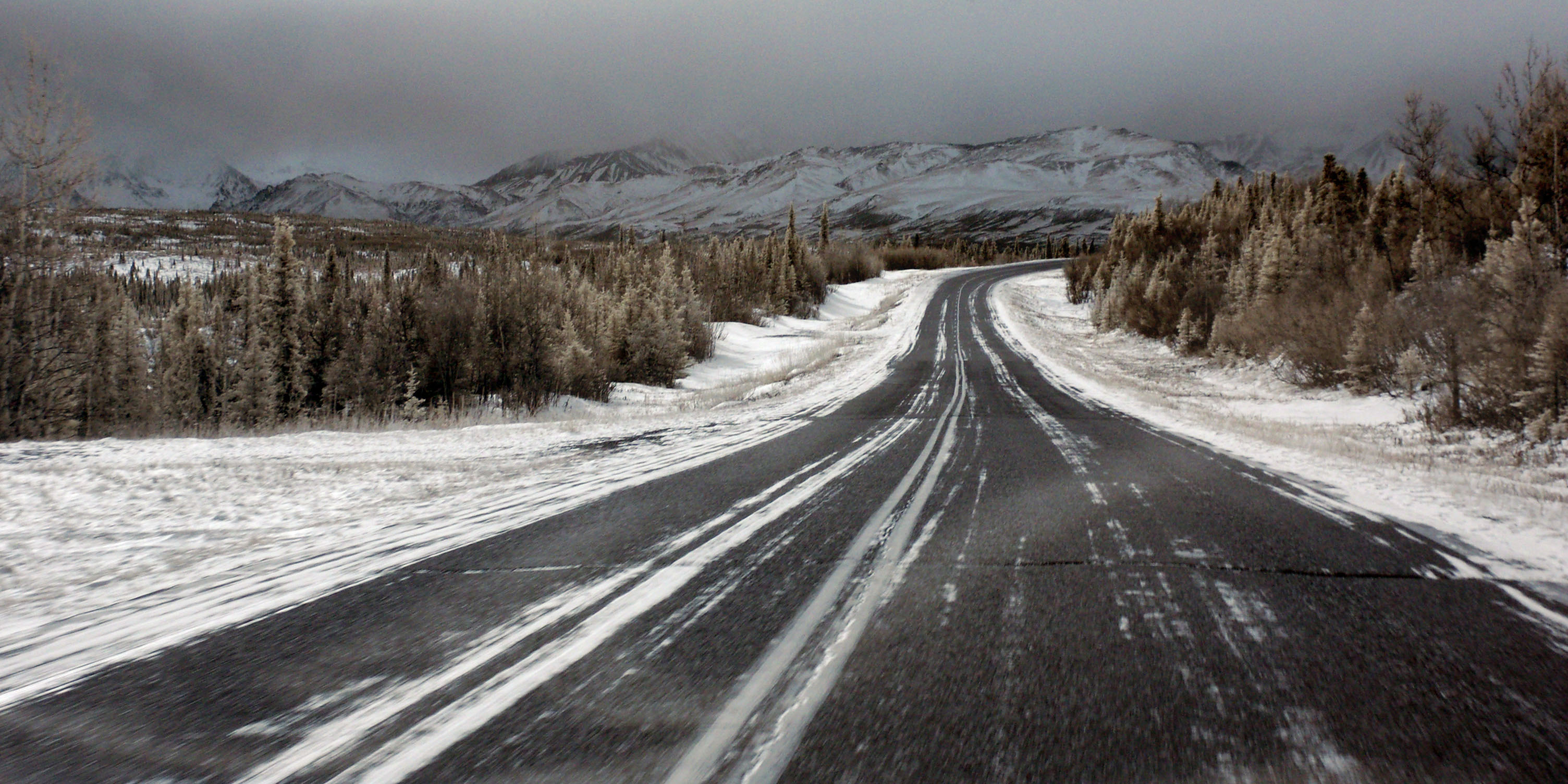
The road goes into the hills. [Dan photo.]
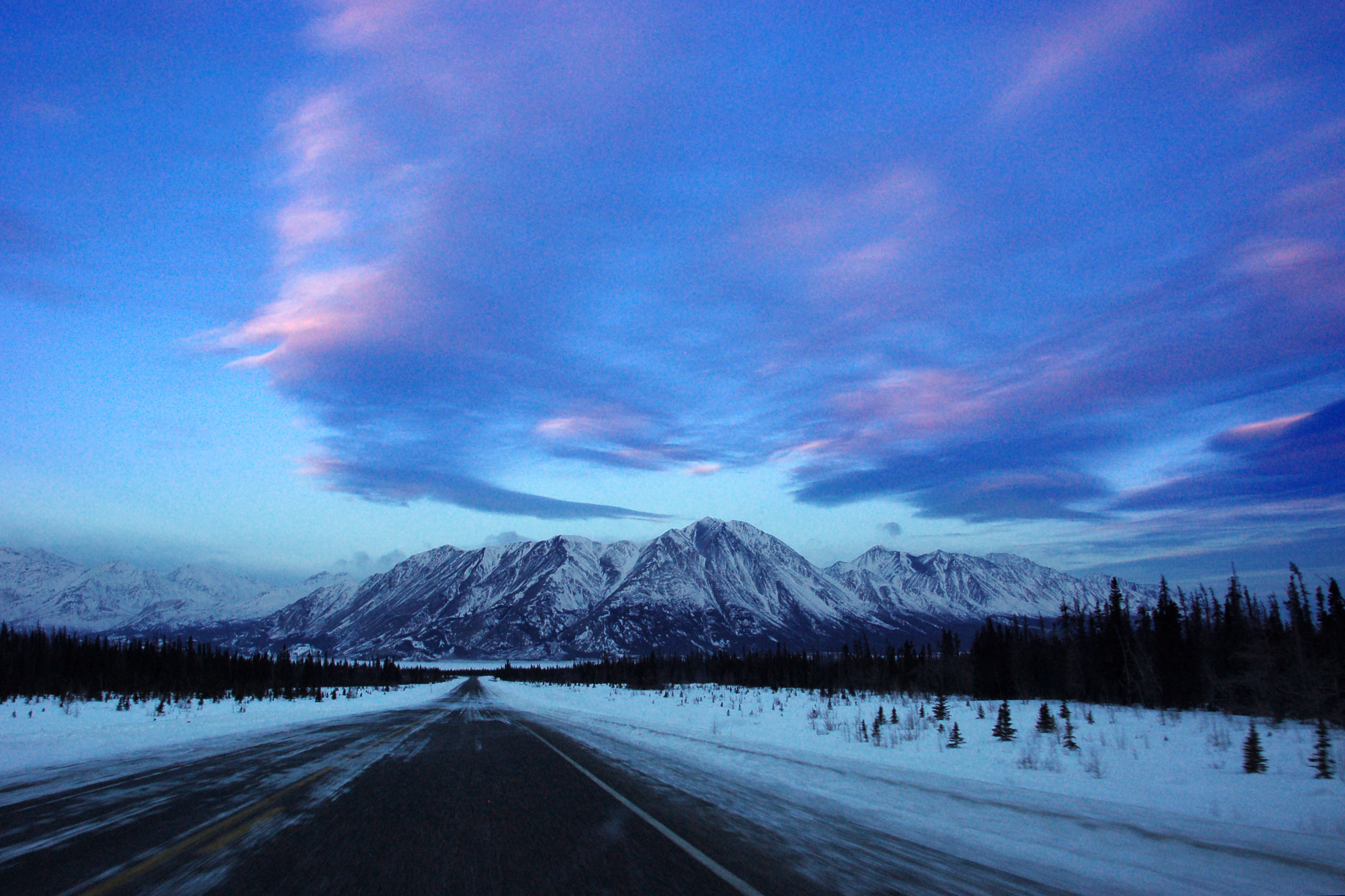
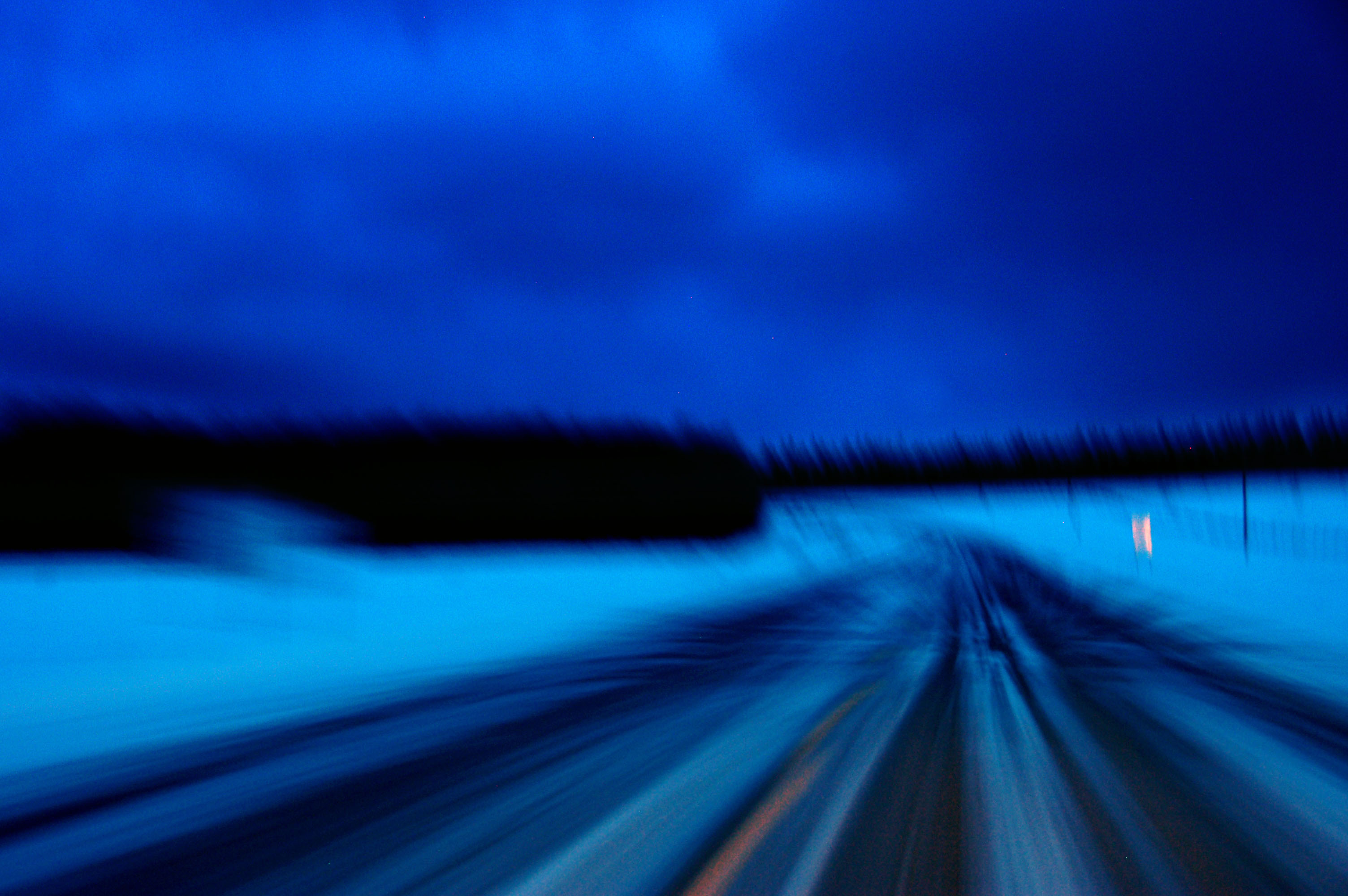
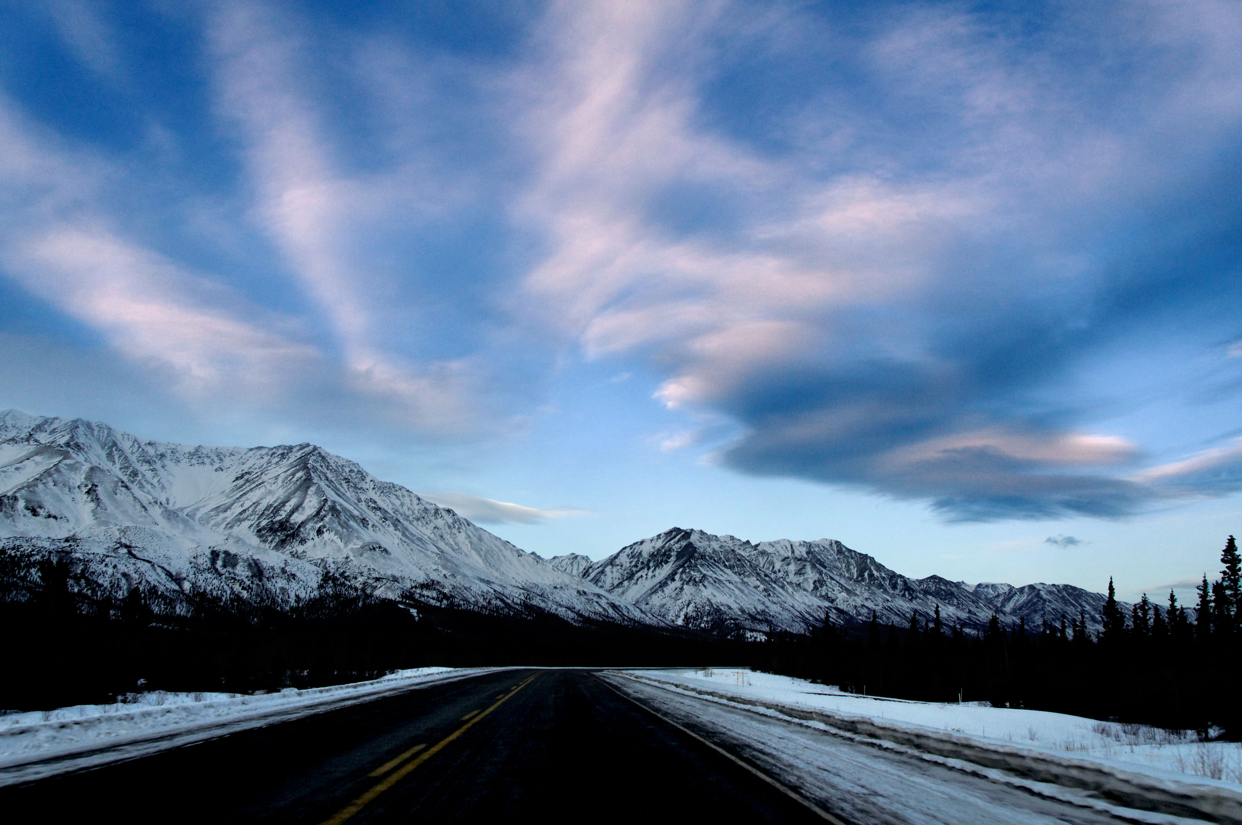
A little bit of pink in the sky at dawn.
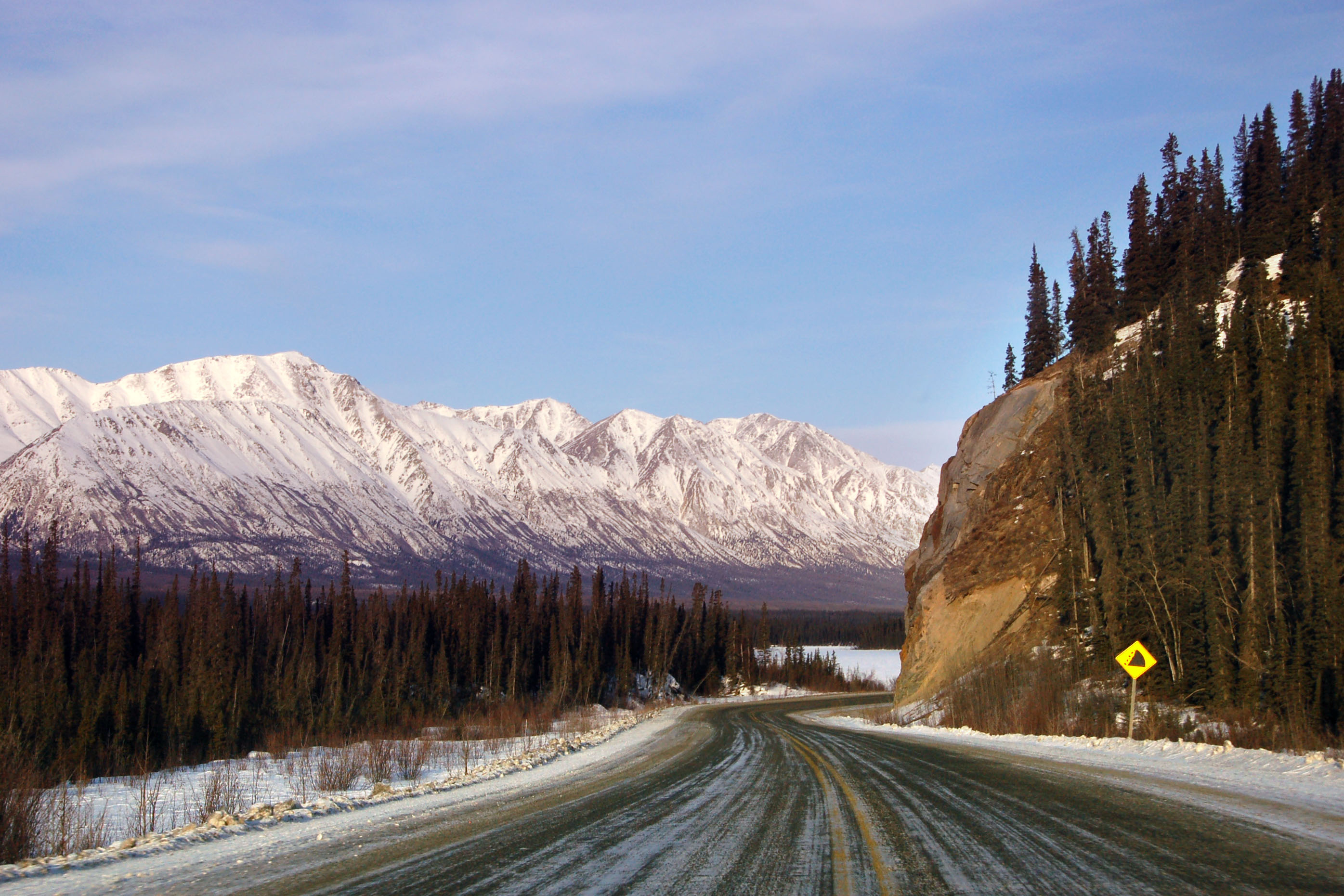
Approaching Destruction Bay. [Dan photo.]
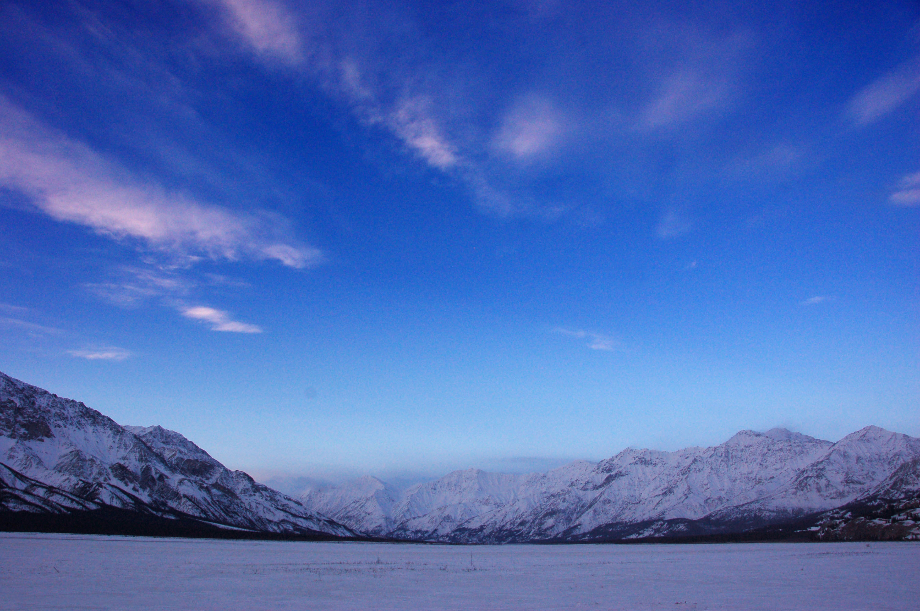
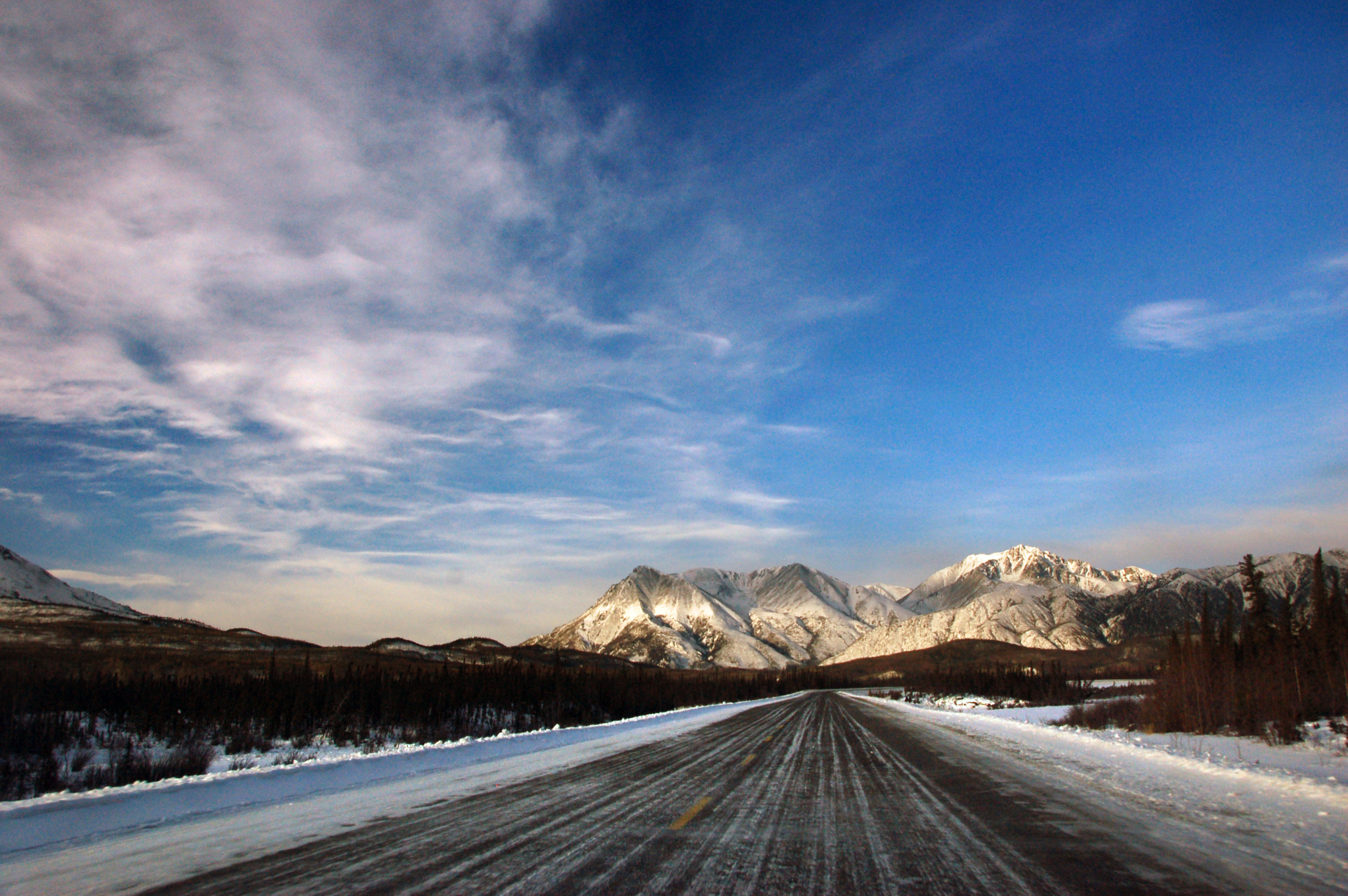
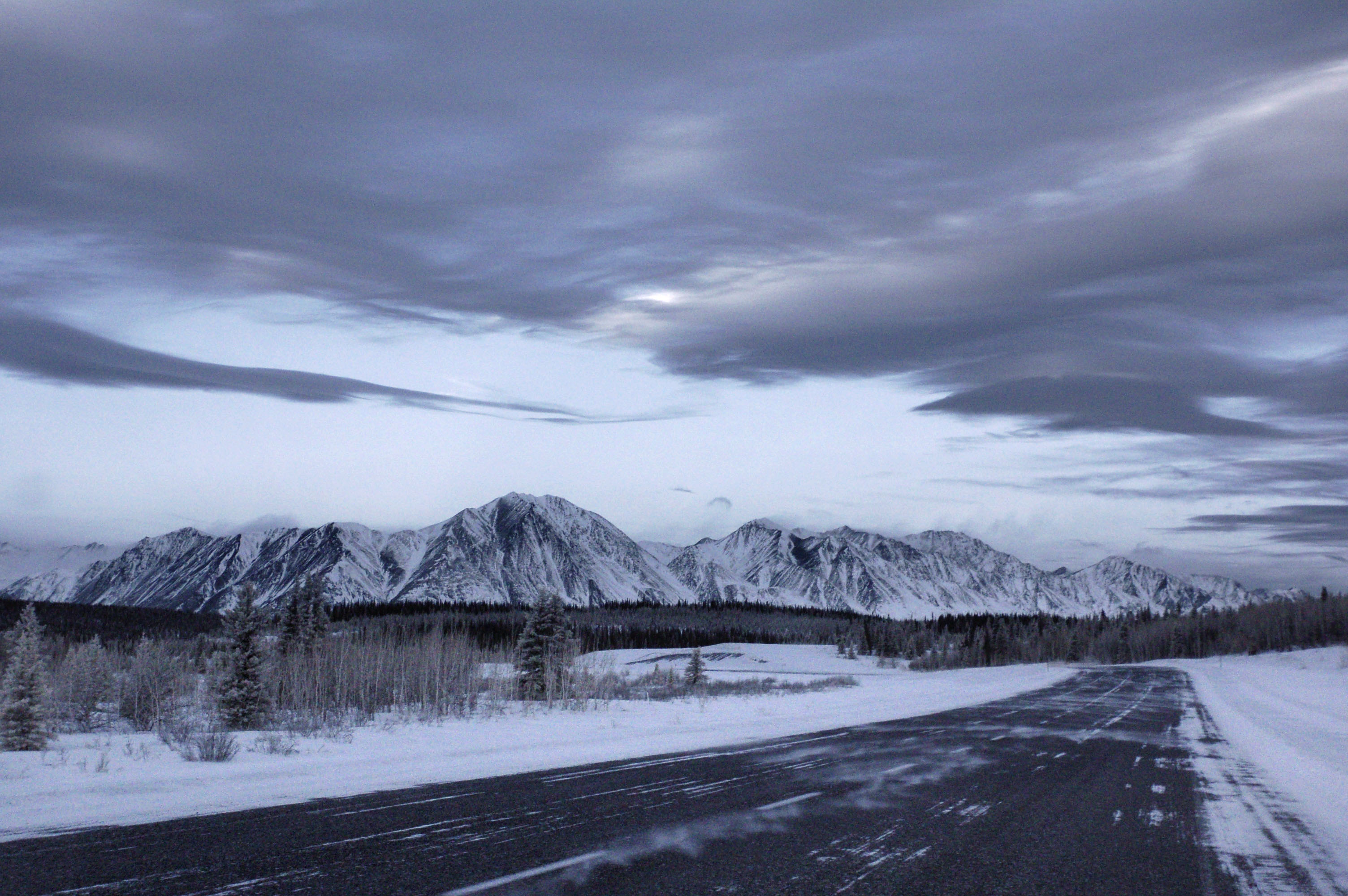
Clear blue skies over Destruction Bay.
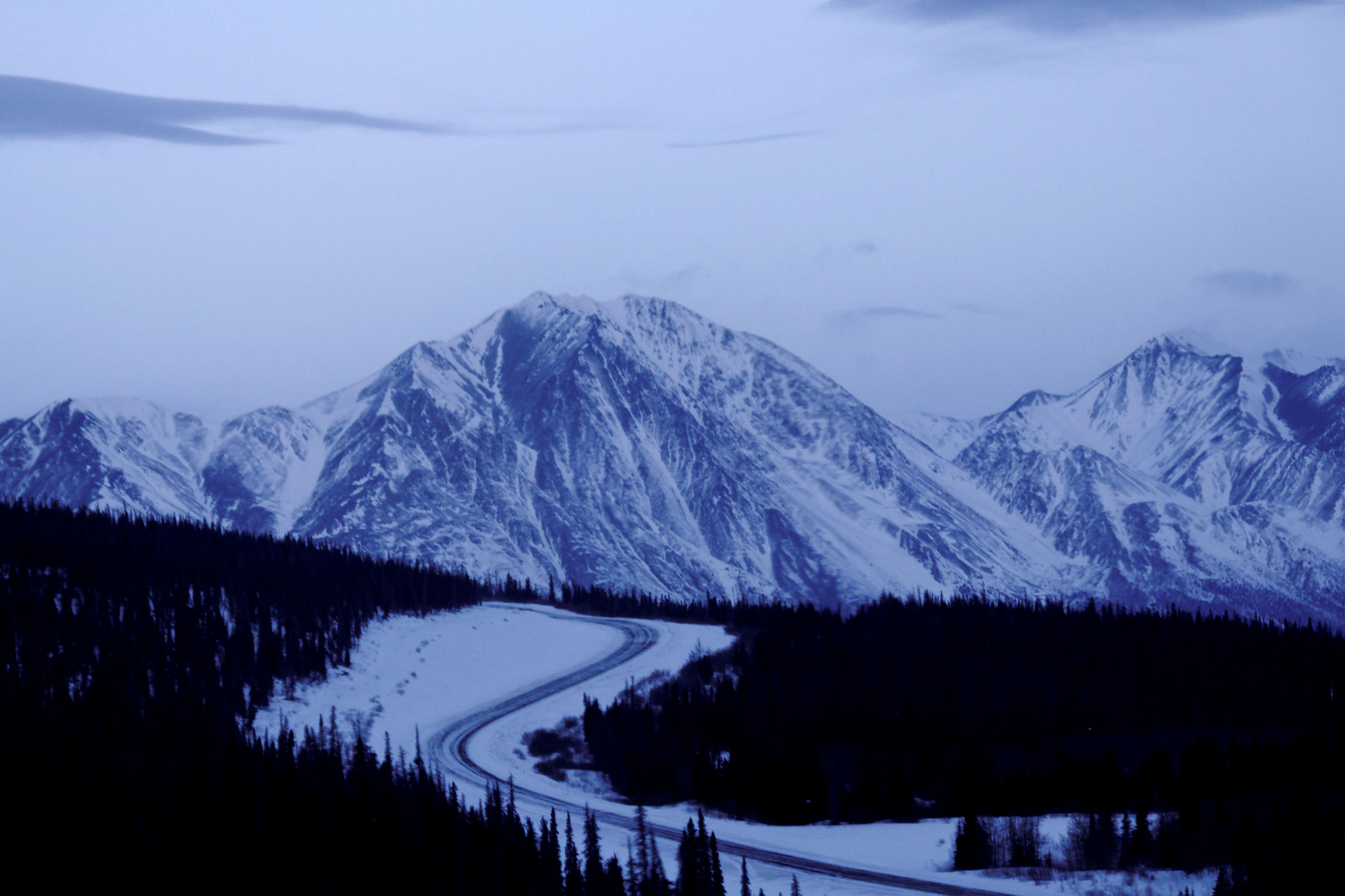
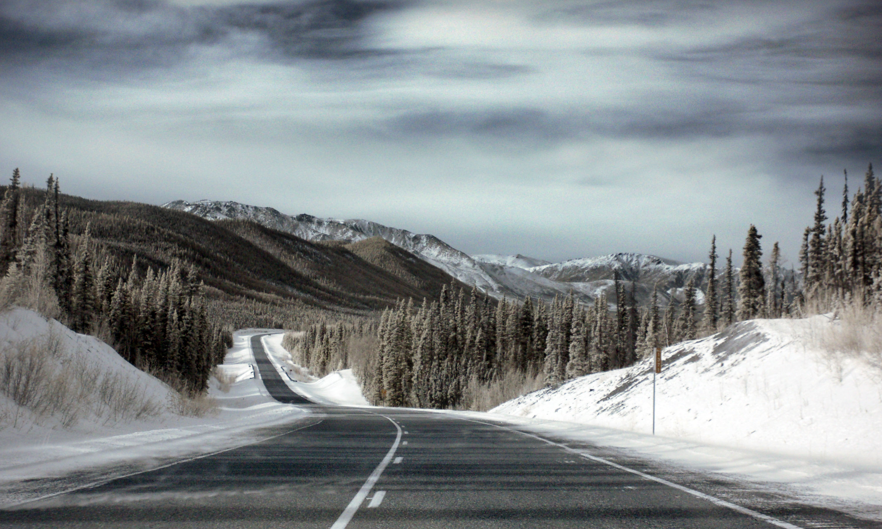
Mountains just west of Destruction Bay.
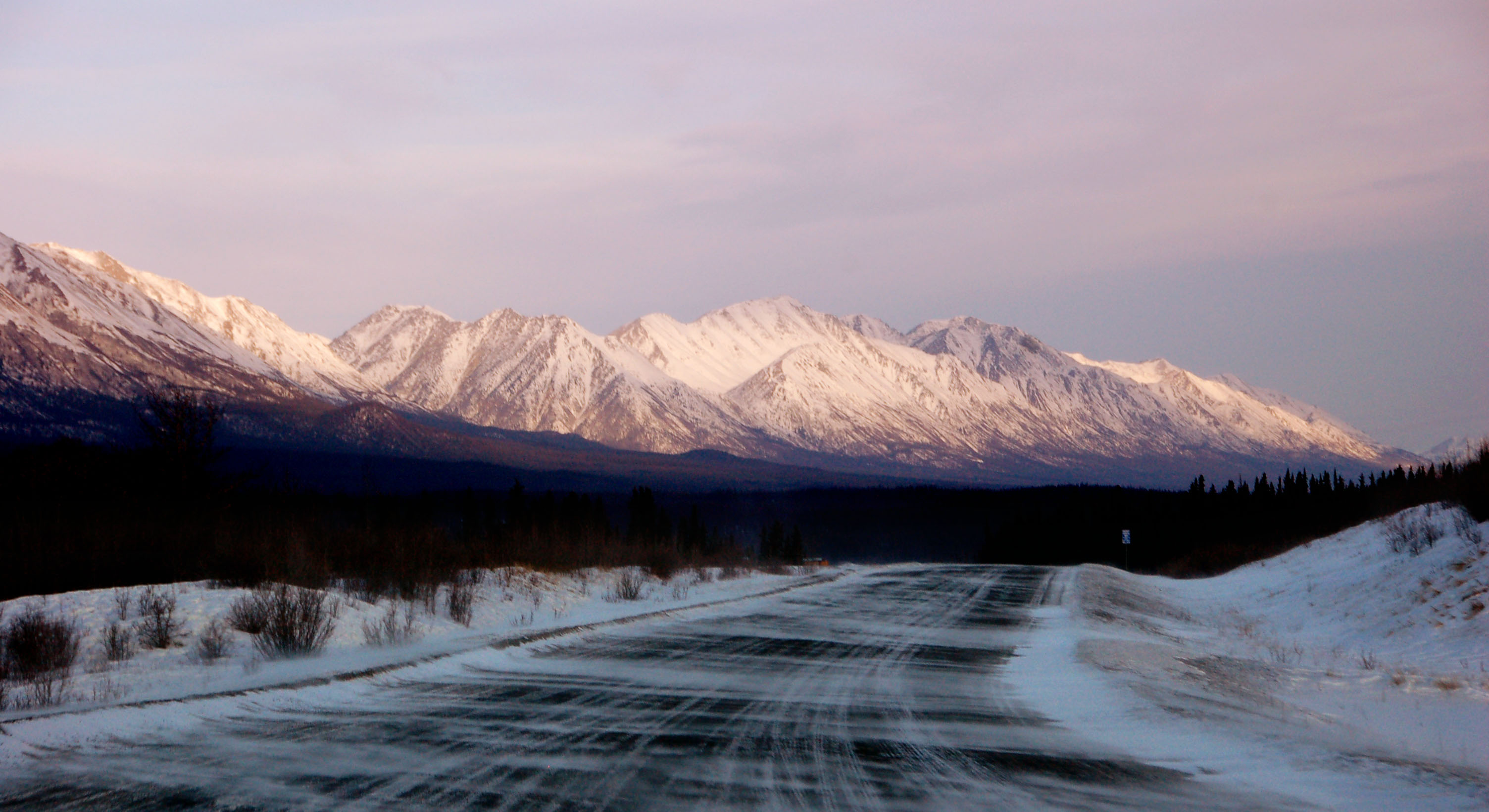
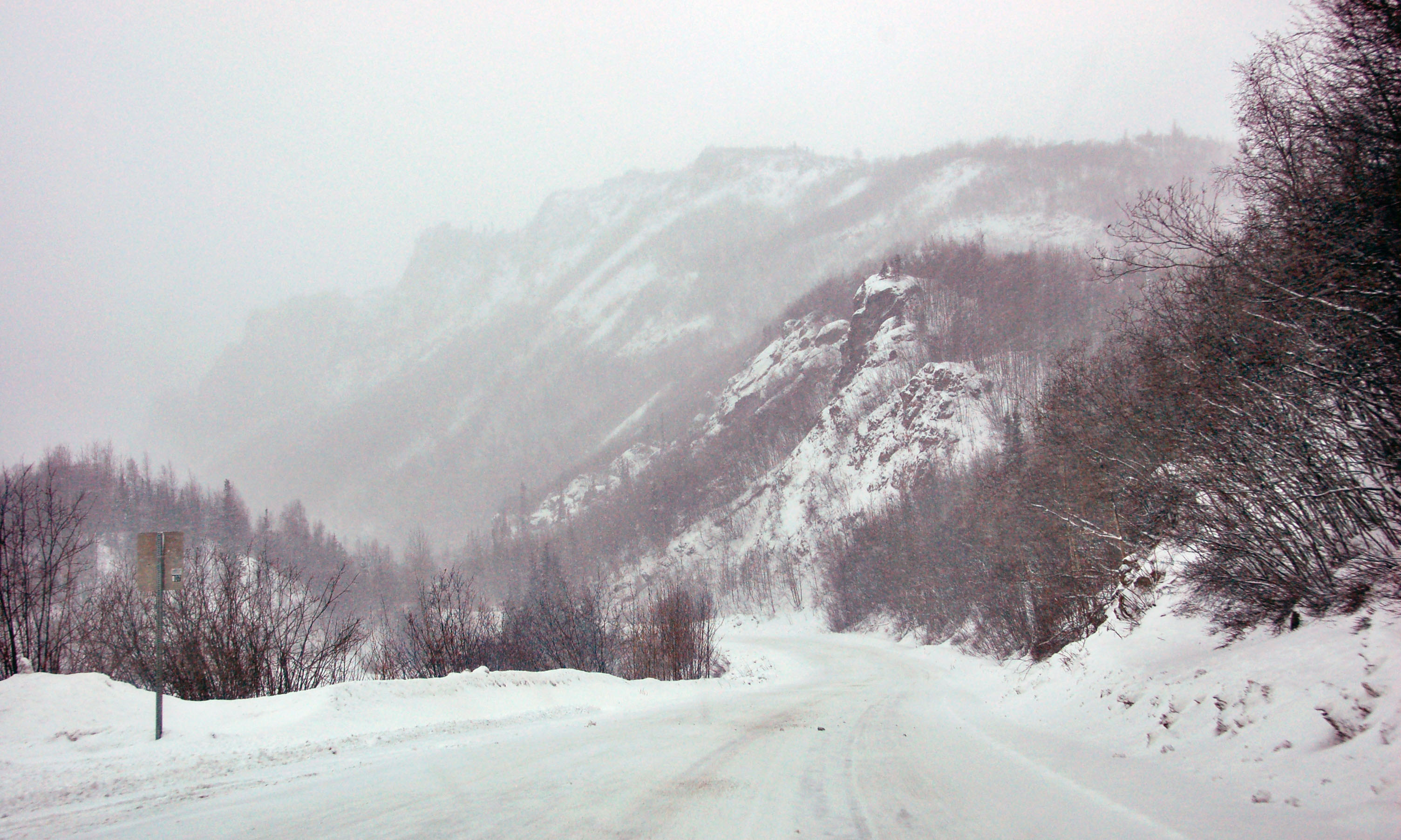
The famous winds of Destruction Bay blow snow across the road.
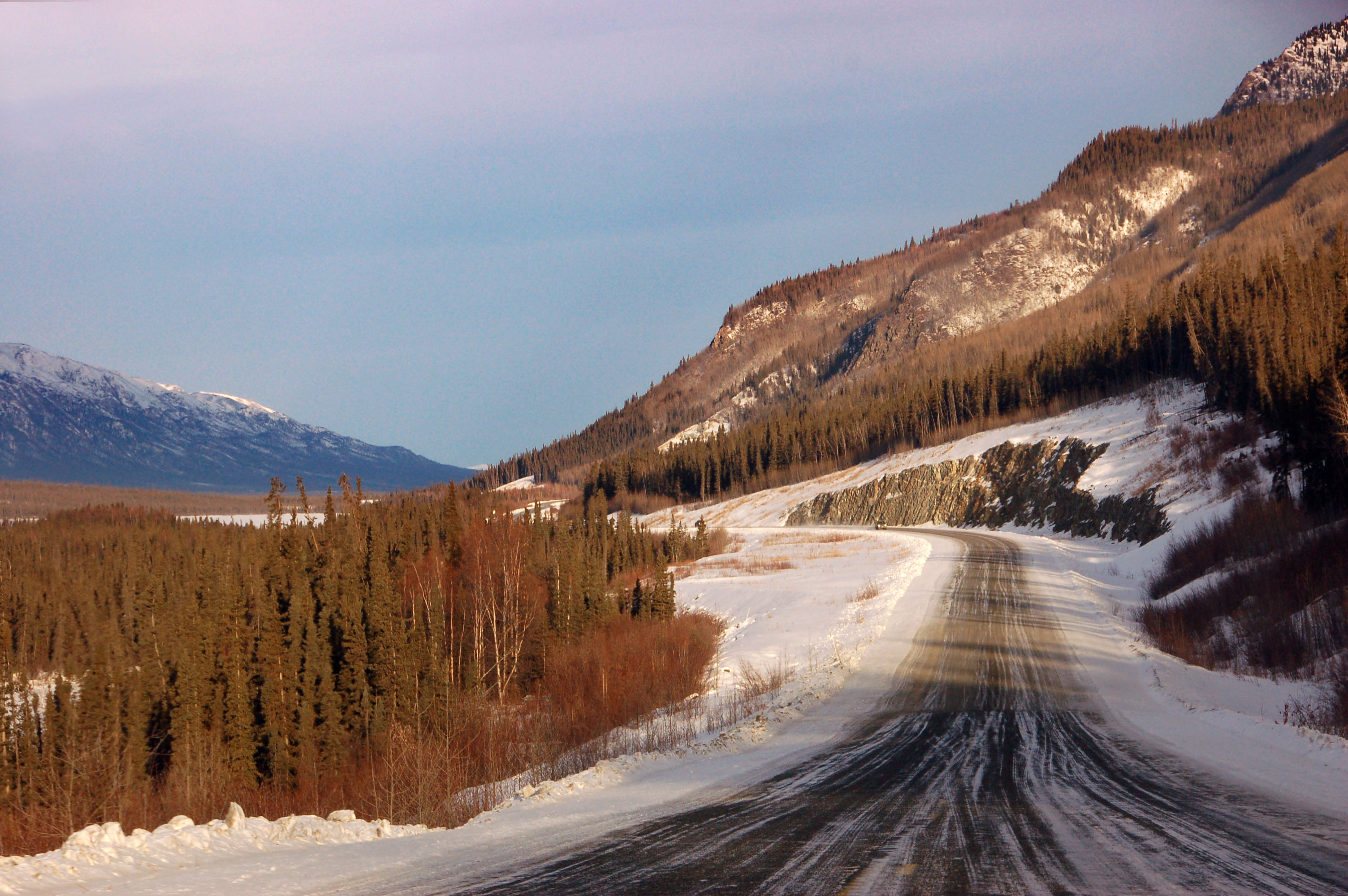
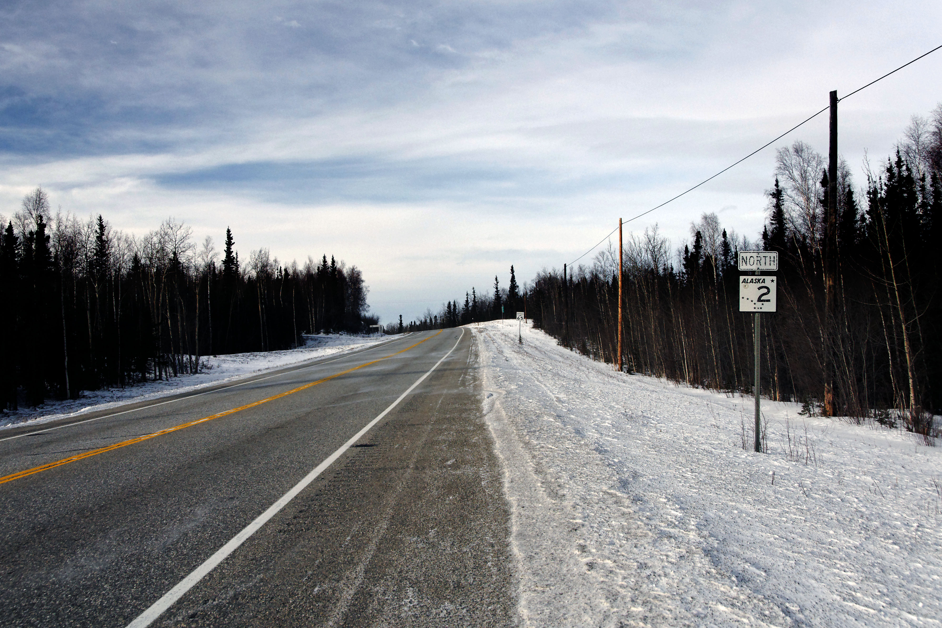
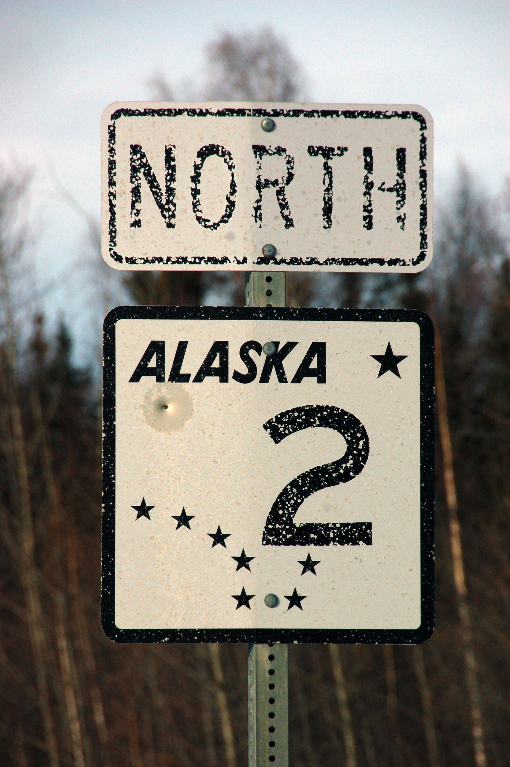
The road turns north for a bit.
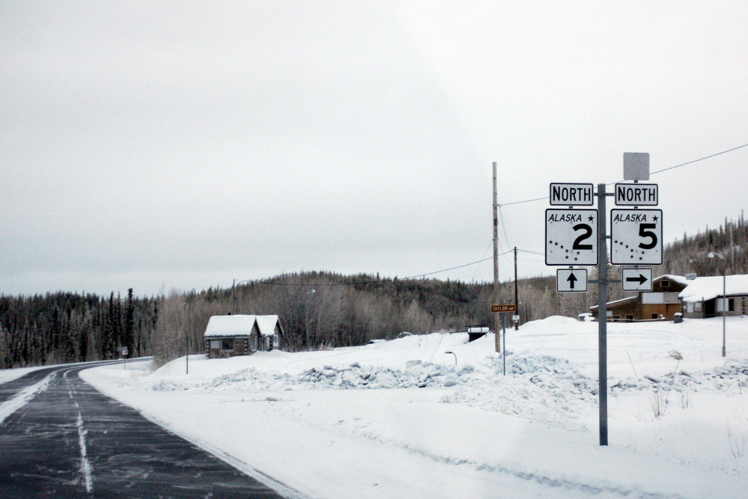
Signage is helpful and informative.
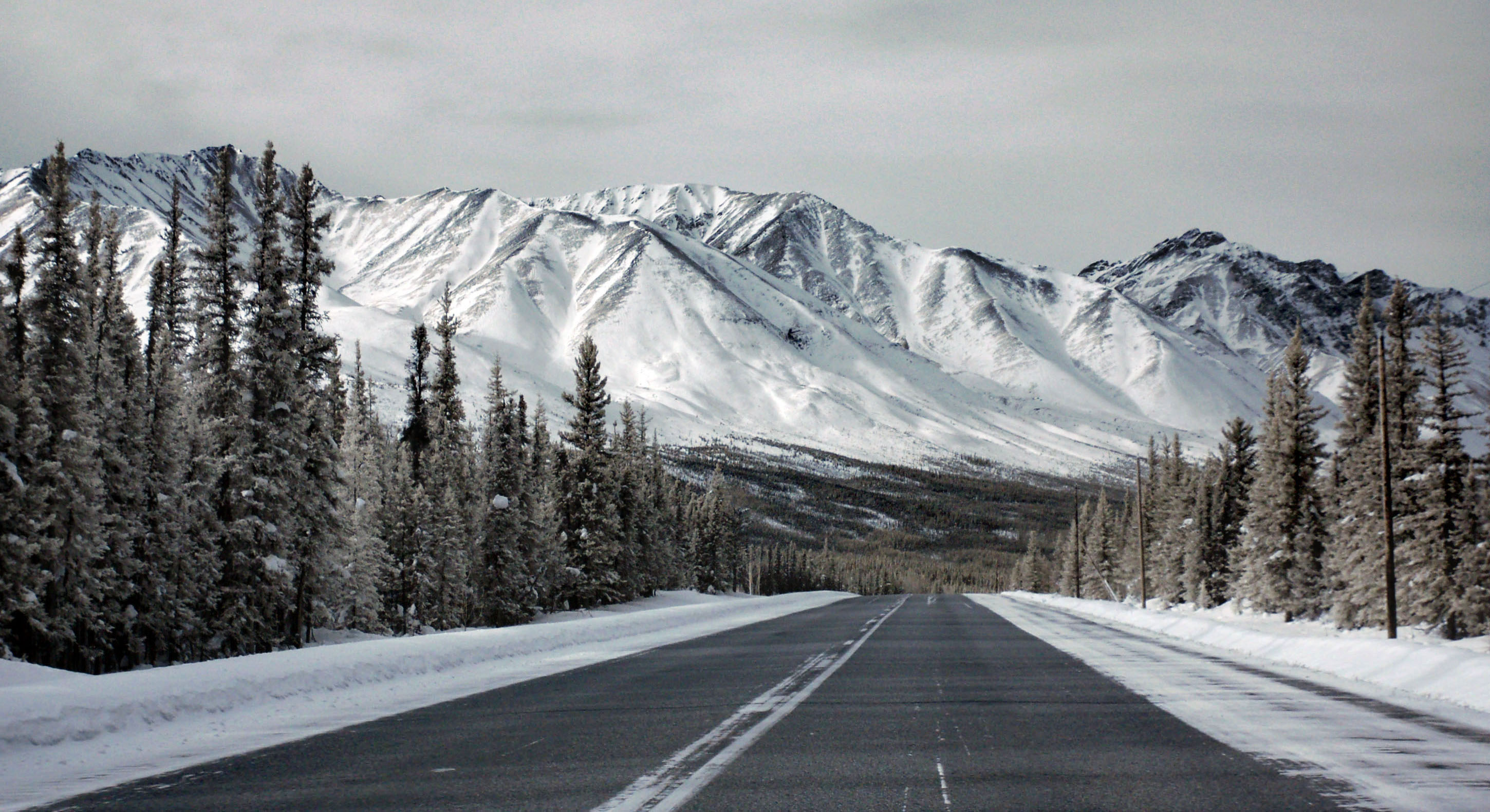
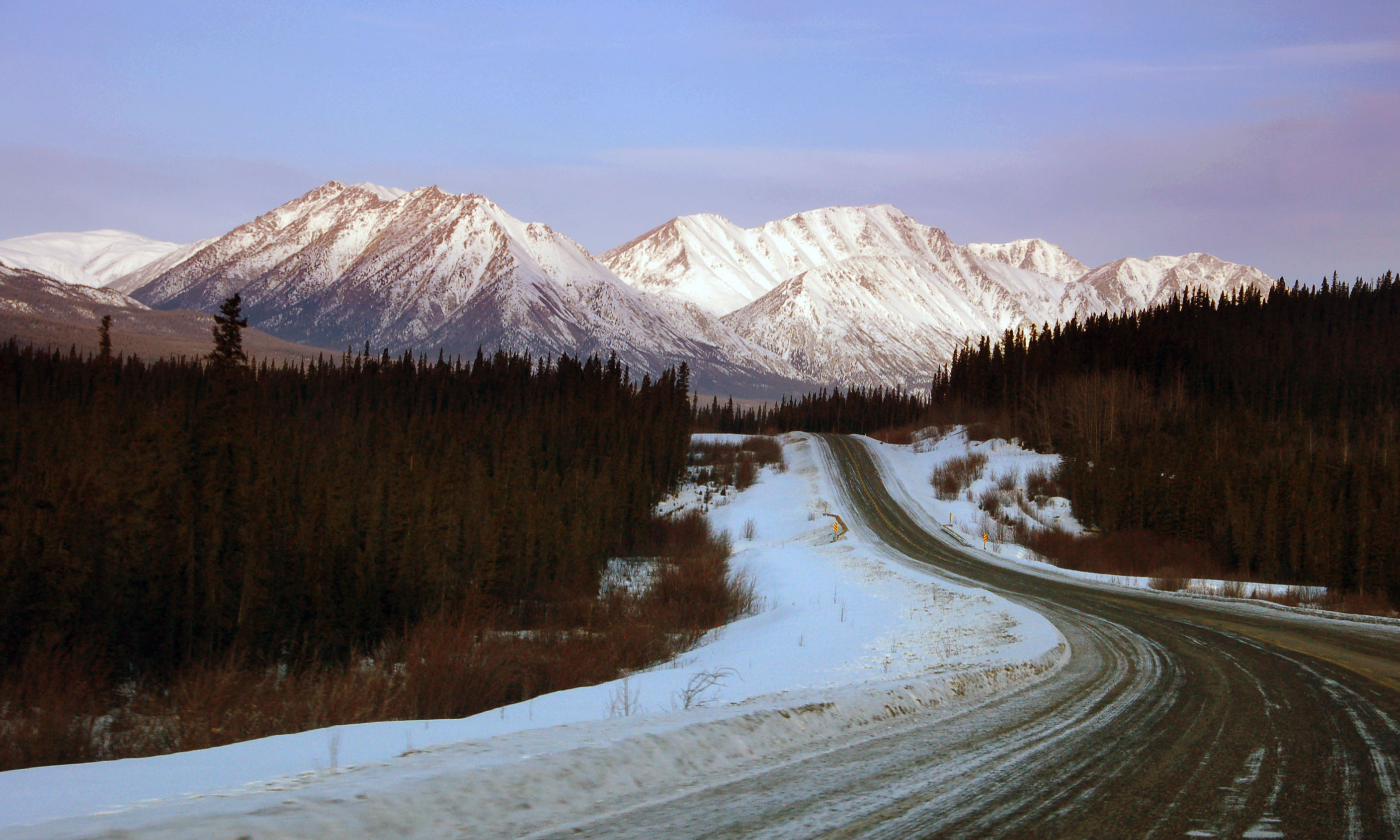
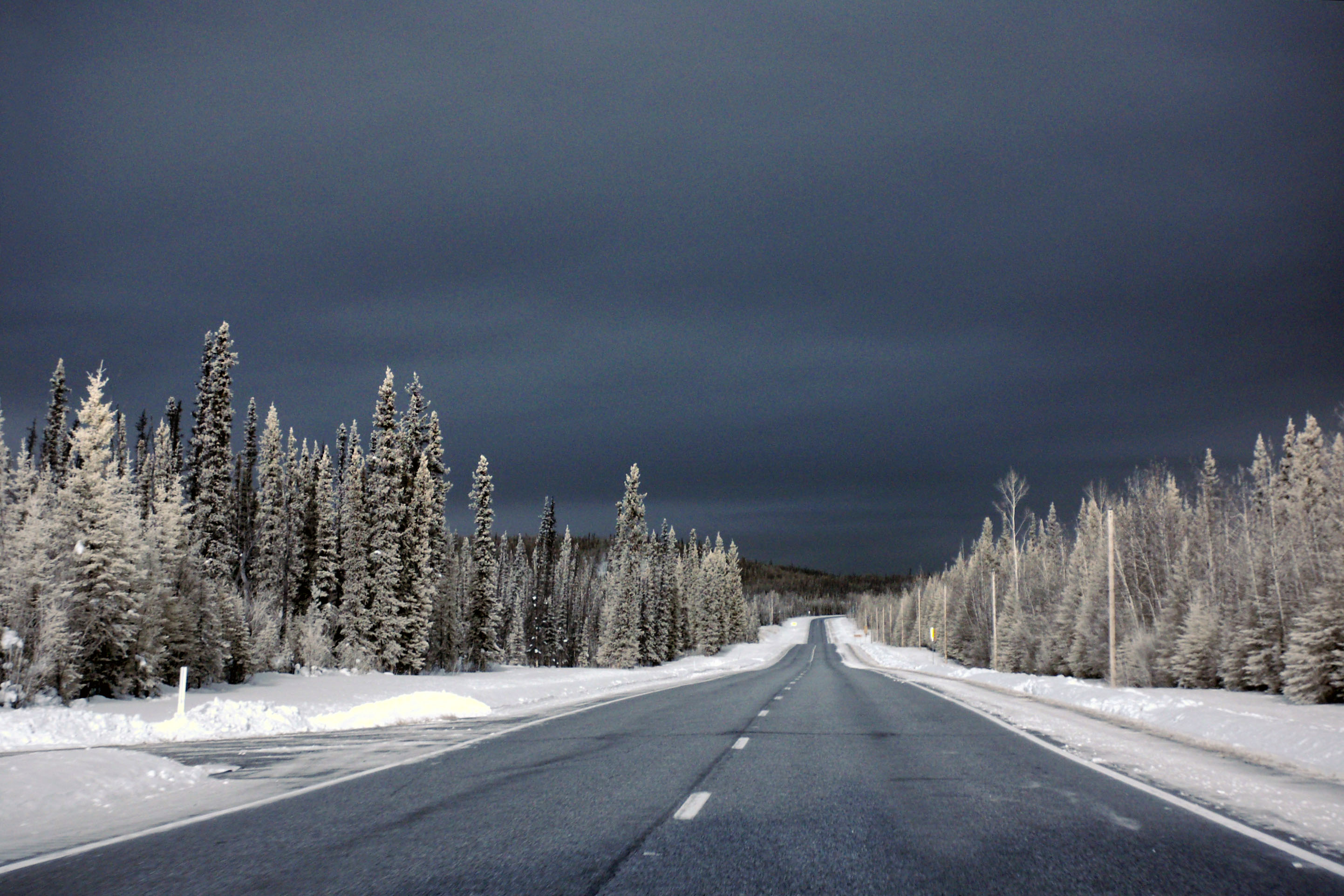
Traditional Yukon scenery.
Distant mountains. Clouds. Those trees whose name I do not know. Yep, must be Yukon.
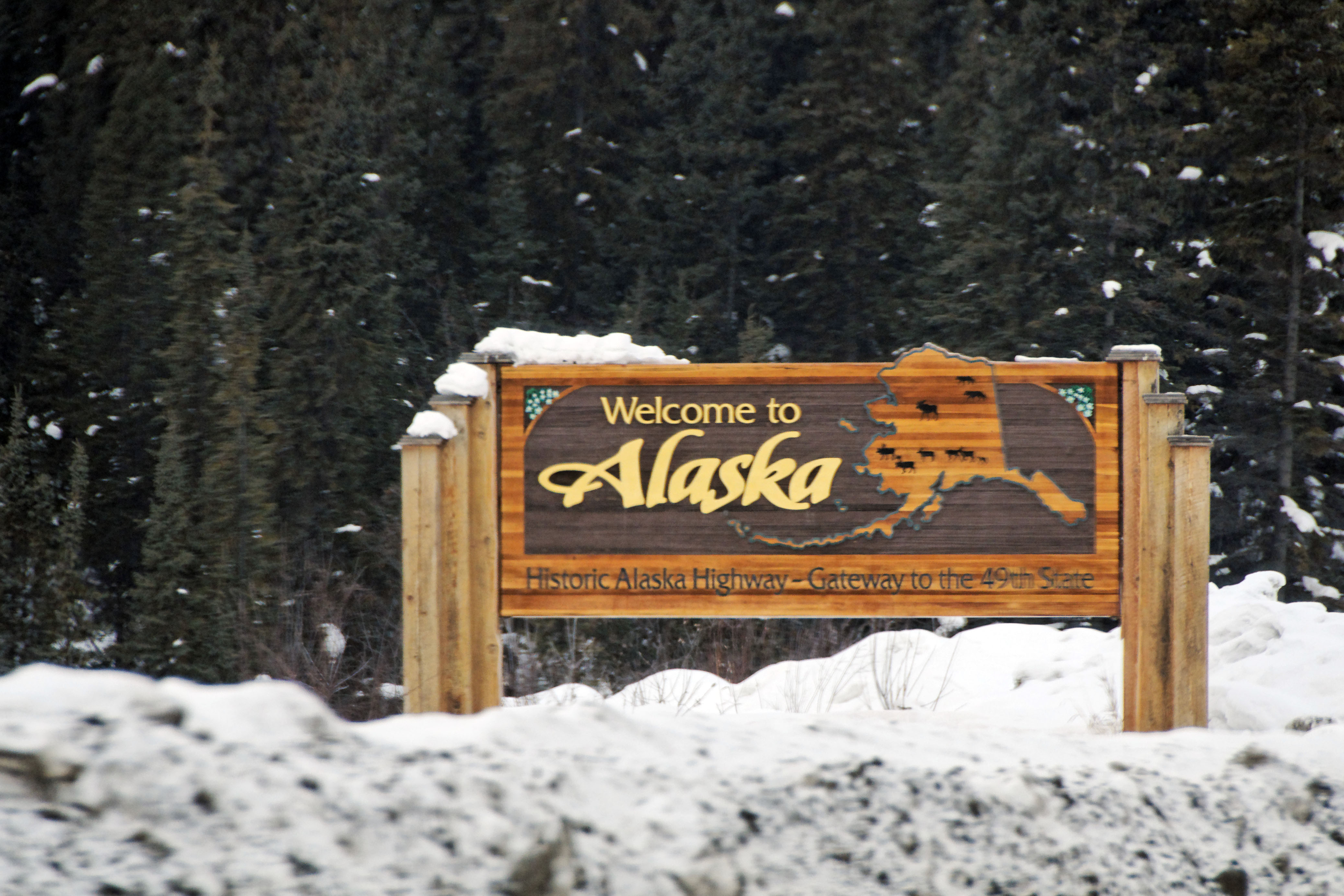
The first guide sign in Alaska, just past the border. The border patrol gave us minimal guff for once, and even explained why the red flags go up every time we cross. Apparently, ridiculous things like “drive to Alaska, just because it is there” is what people do when they’re 60, not in their 20s. And they say the government doesn’t profile. Yeah… right. At least, this time, they were upfront about it.
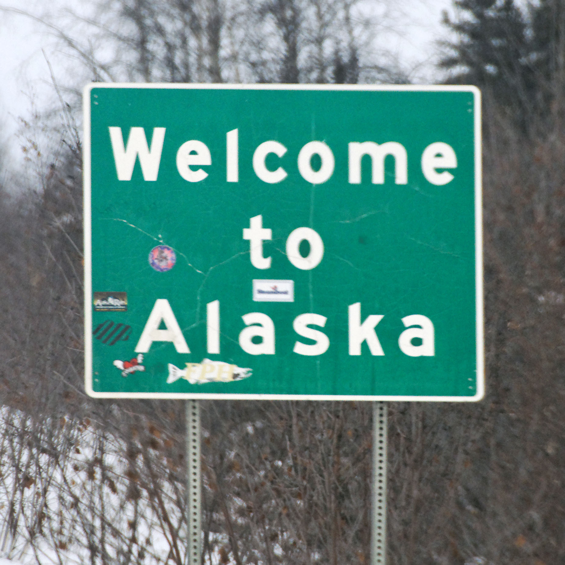
The second guide sign in Alaska. The fancy wooden sign is first, then the distance sign, then this green welcome sign.

Alaska is overcast, so here I switch to the IR camera, as that tends to give better contrast in the clouds most of the time. Alas, not this time. Blown out white skies!
Guide signs appear brown in infrared. Well, they start out blue, but I always swap the blue and red channels when processing IR. Blue ends up corresponding to about a 780nm wavelength of light, and brown is 840 or so. (The threshold between visible red and infrared is about 700nm.)
Bright lights get blown out as yellow.
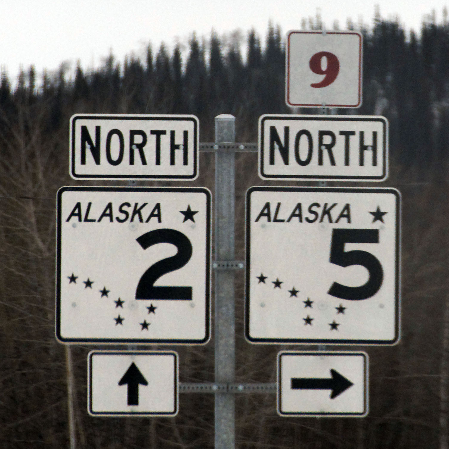
The first Alaska shields we see. And also, the last Yukon. Alaska 5 turns into Yukon 9. It is the Top of the World Highway, which rejoins the Klondike Highway somewhere well north of Whitehorse. [Dan photo.]
The poor Yukon shield has a foreground that is nearly the same color in infrared as the background.
More IR. Alas, still no cloud definition!
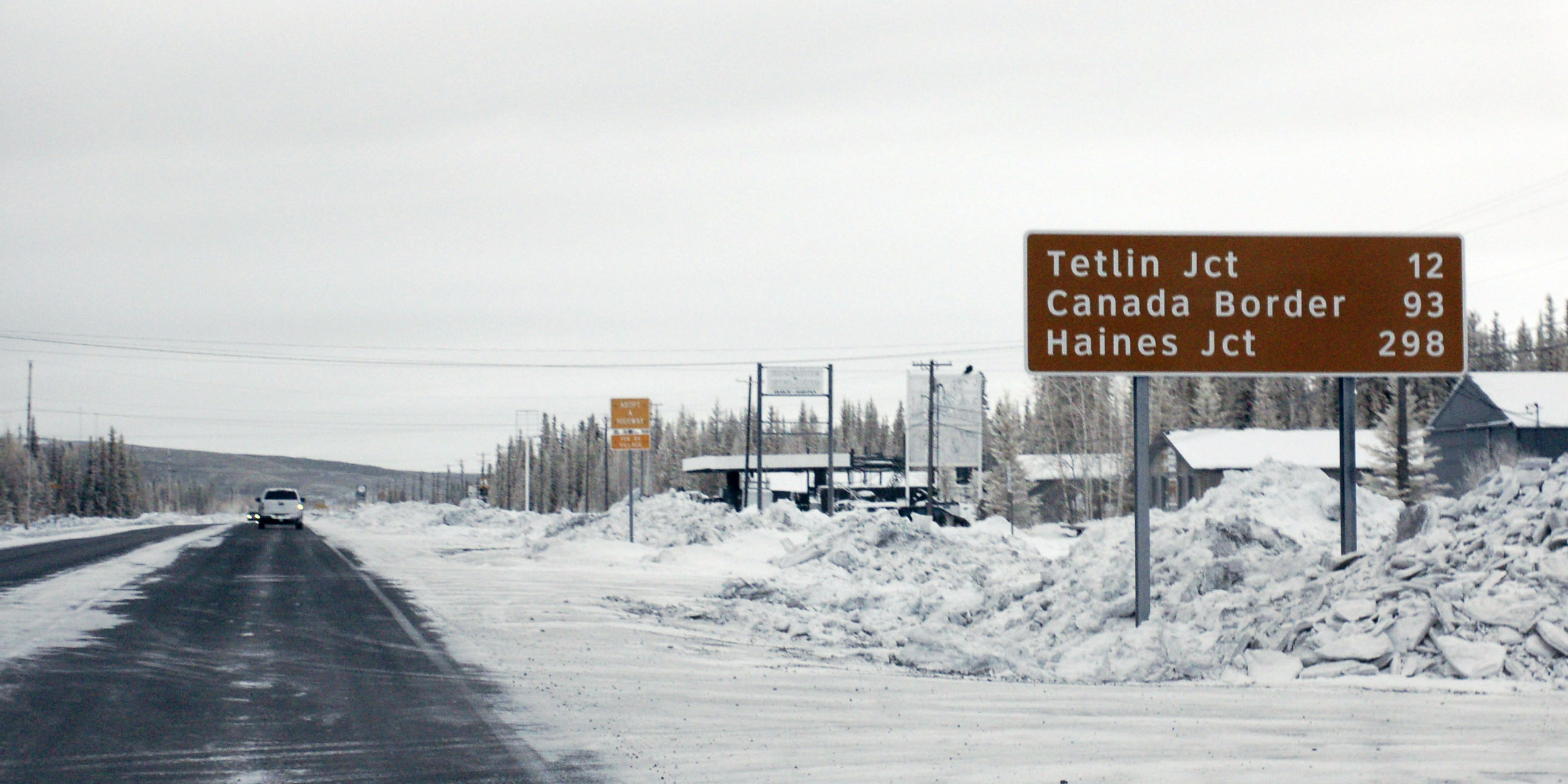
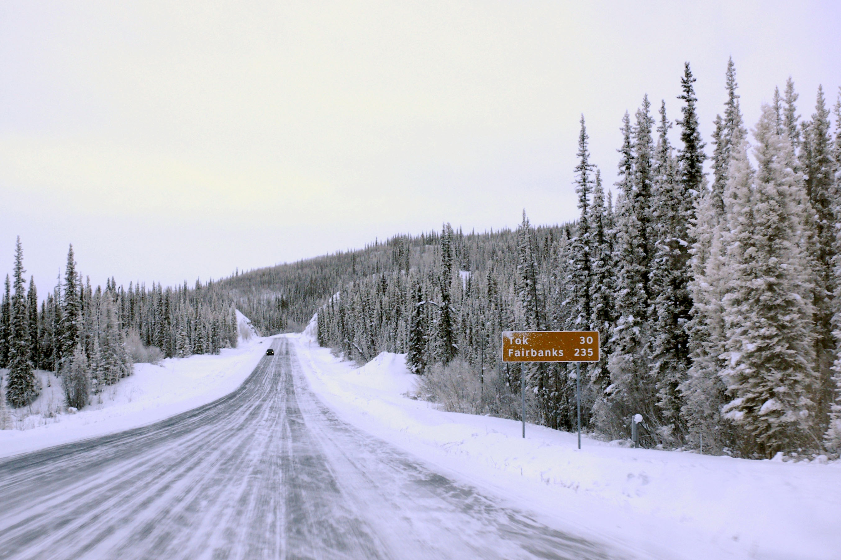
Looking backwards at Tok Junction. Unfortunately, sometime between the last time I was here and now, Alaska switched to Clearview.
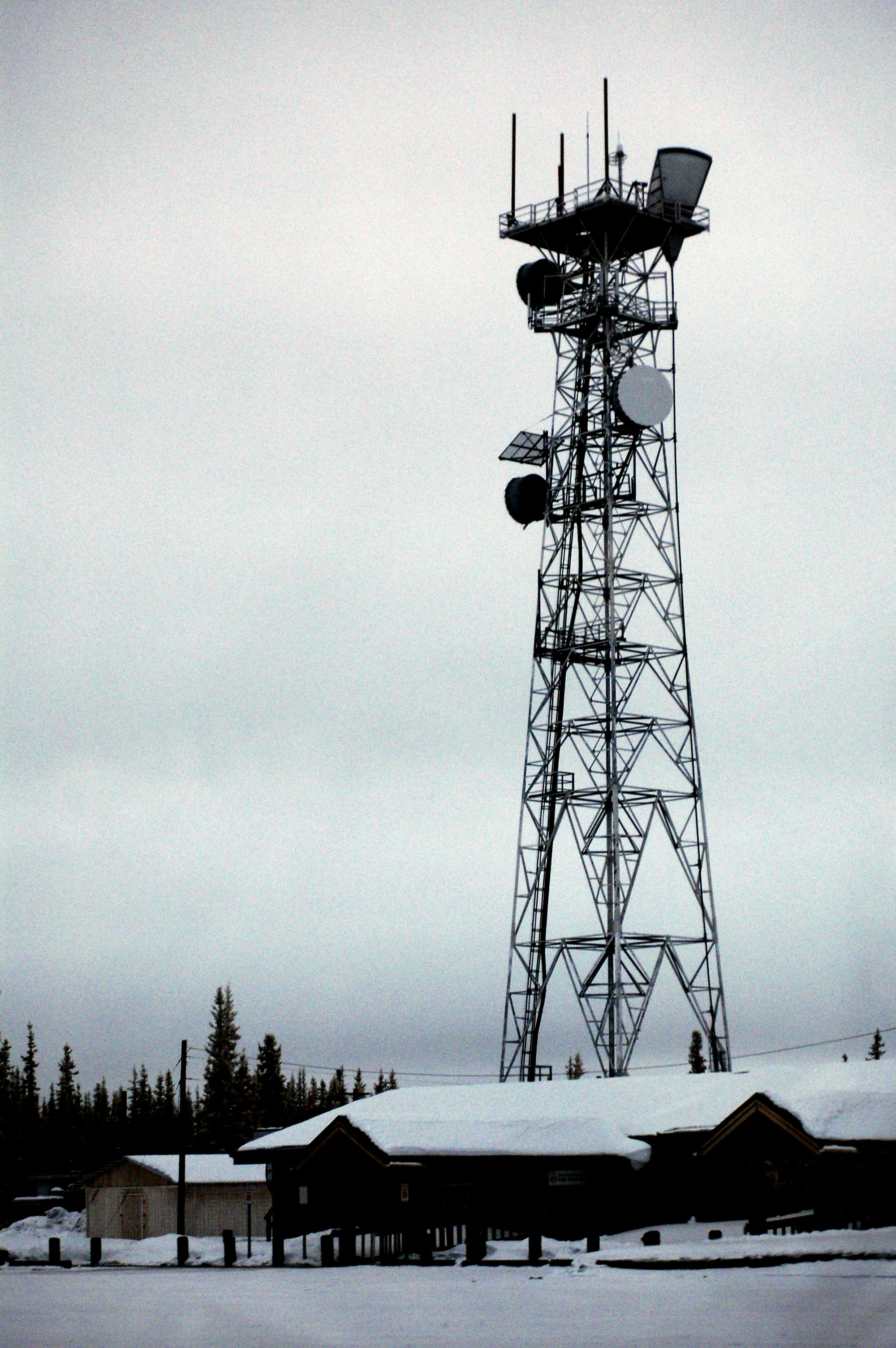
The world-famous Tok communication tower.
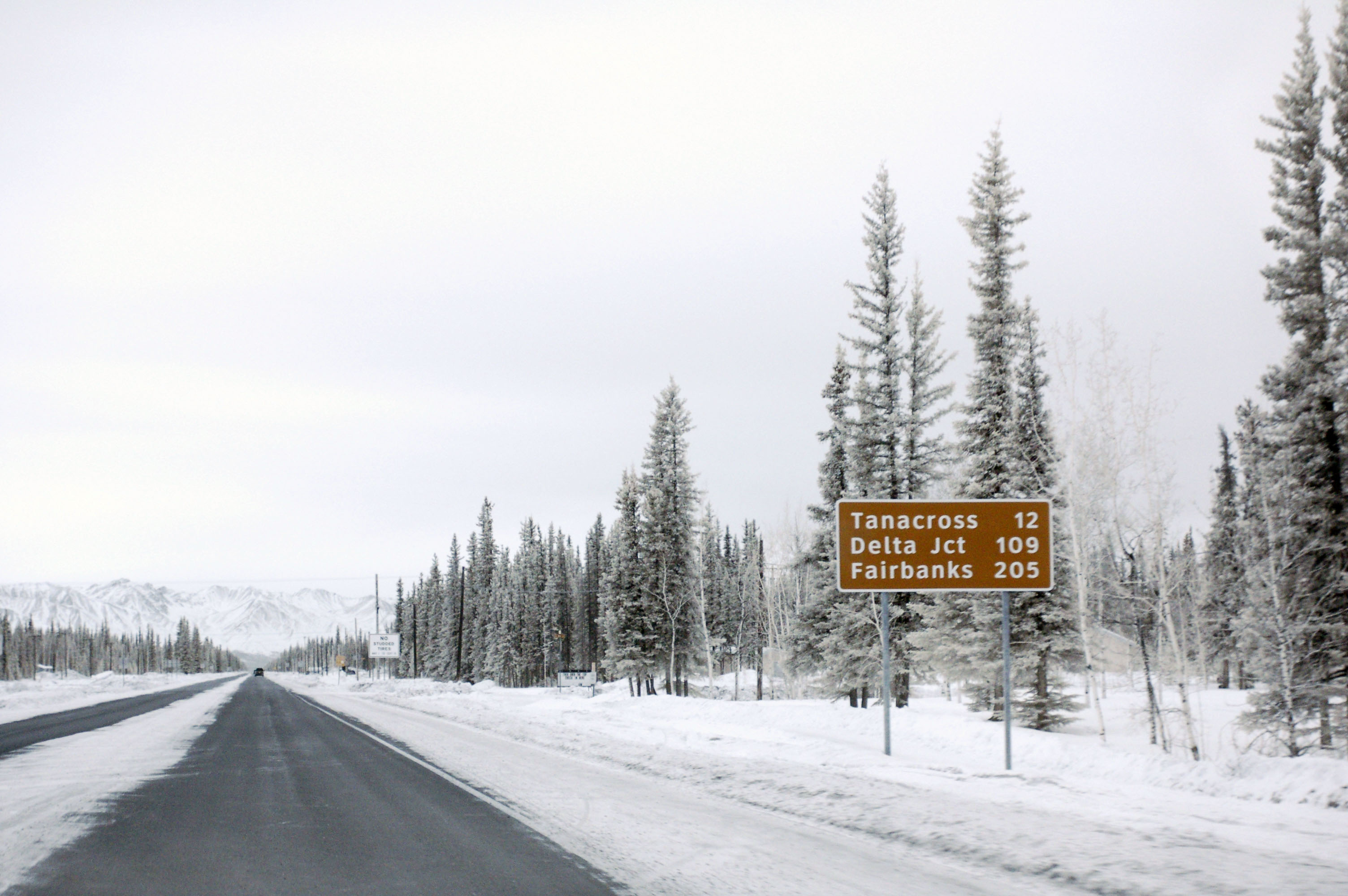
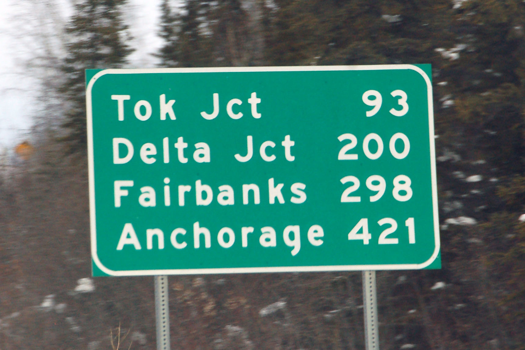
Only 109 more miles and we finish the Alaska Highway.
This is what happens when you overexpose in infrared.
Everyone’s favorite milepost. [Dan photo.]
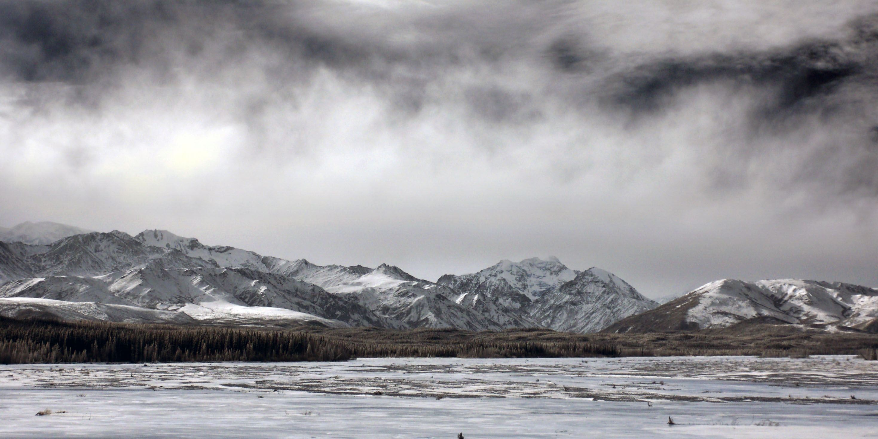
Ominous dark skies.
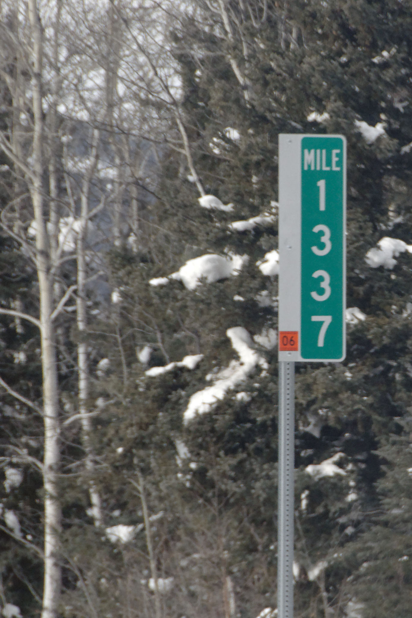
Mile 1371 – about fifty to go to Delta Junction.
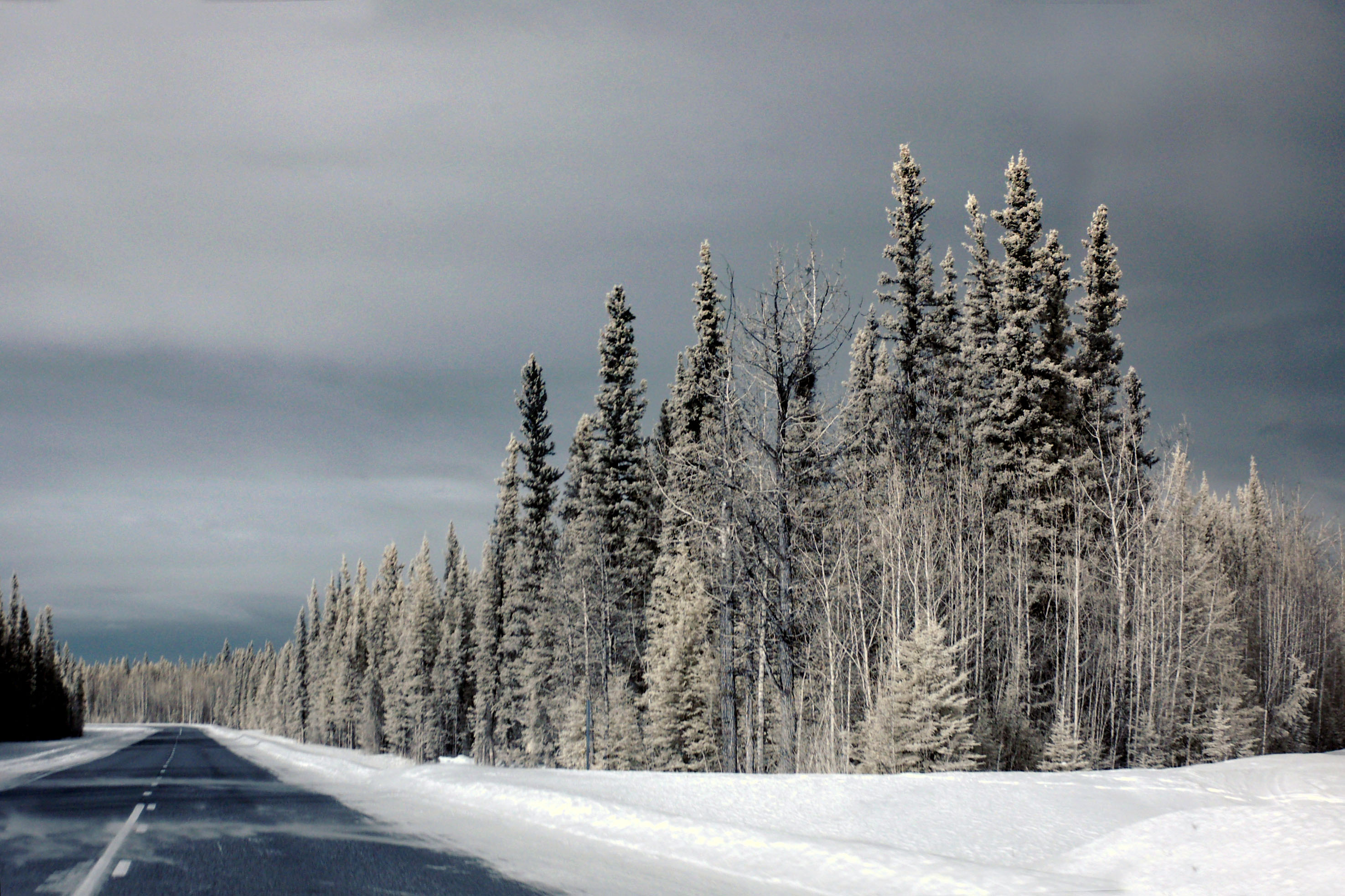
Our favorite pointy trees.
For variety’s sake, here’s one from Dan in visible light.
Looking south off that very bridge. Yep, shooting into the sun! It’s doable in infrared.
How to make great time. [Dan photo. I was busy making said time!]

Back to visible light.
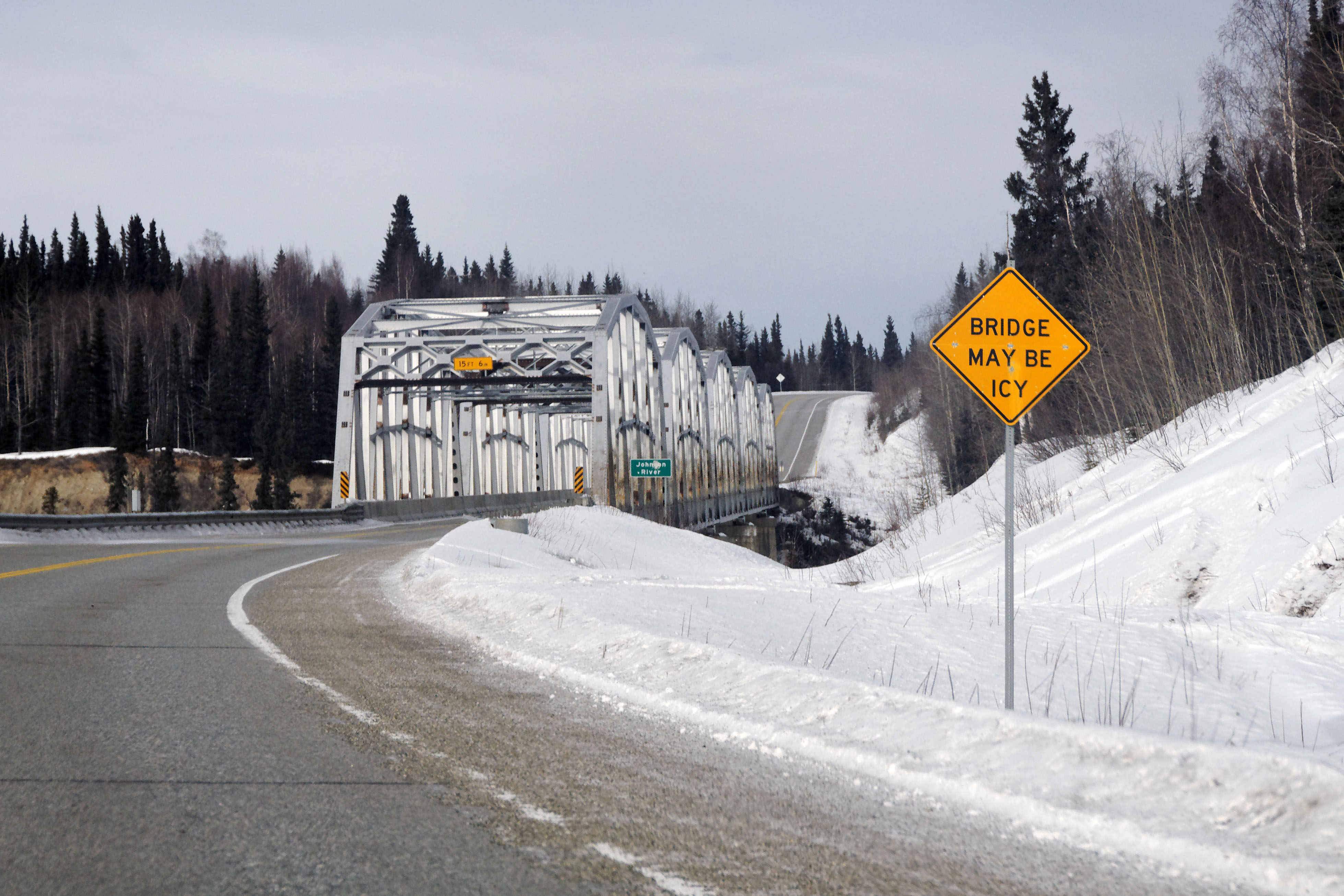
A very old reassurance marker. [Dan photo.]
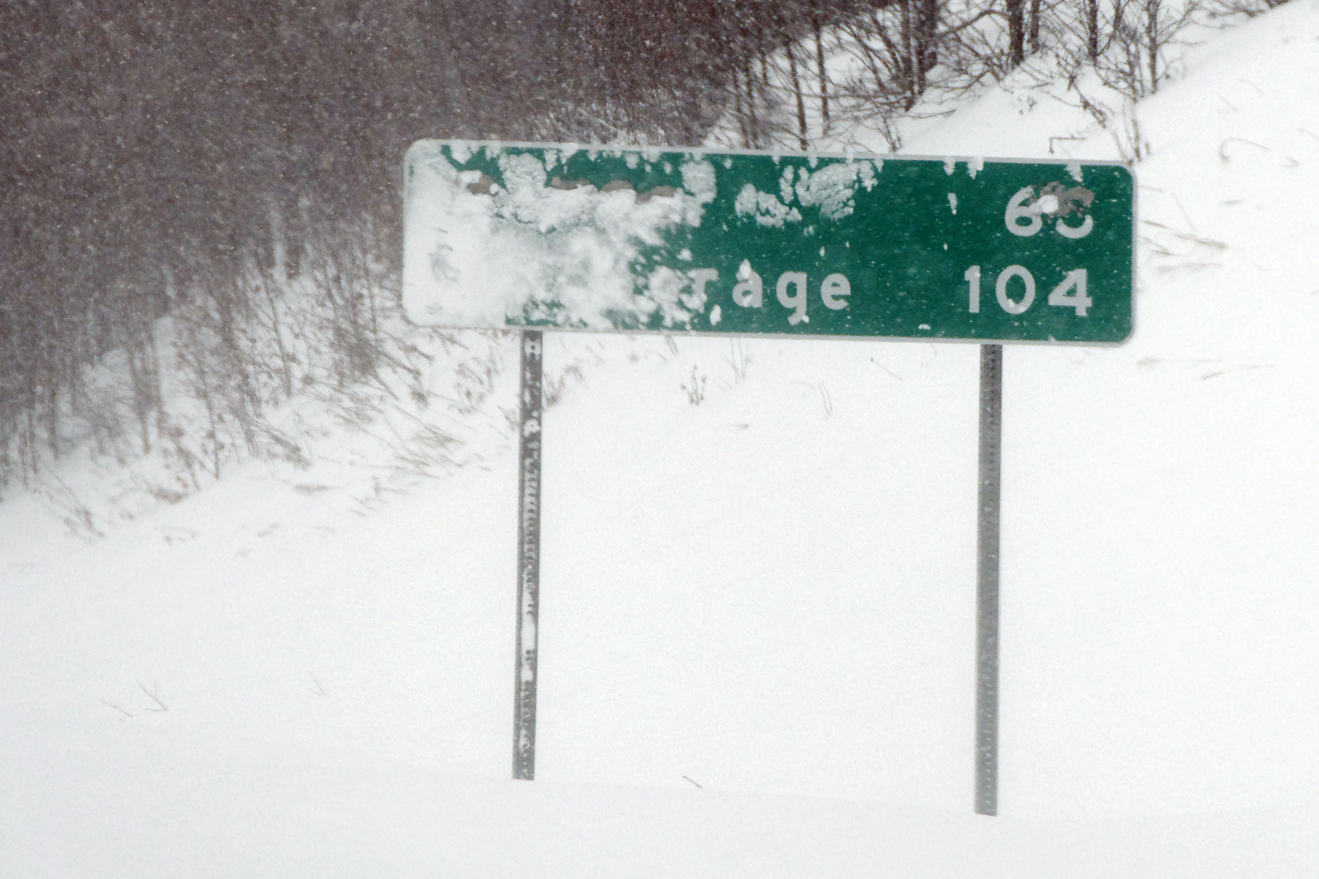
A close-up showing the black falling off the sign. This is the oldest sign on highway 2.
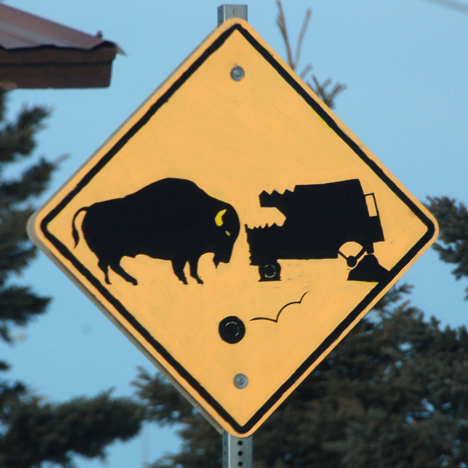
Prepare to lose rear wheel if buffalo looks directly at you.
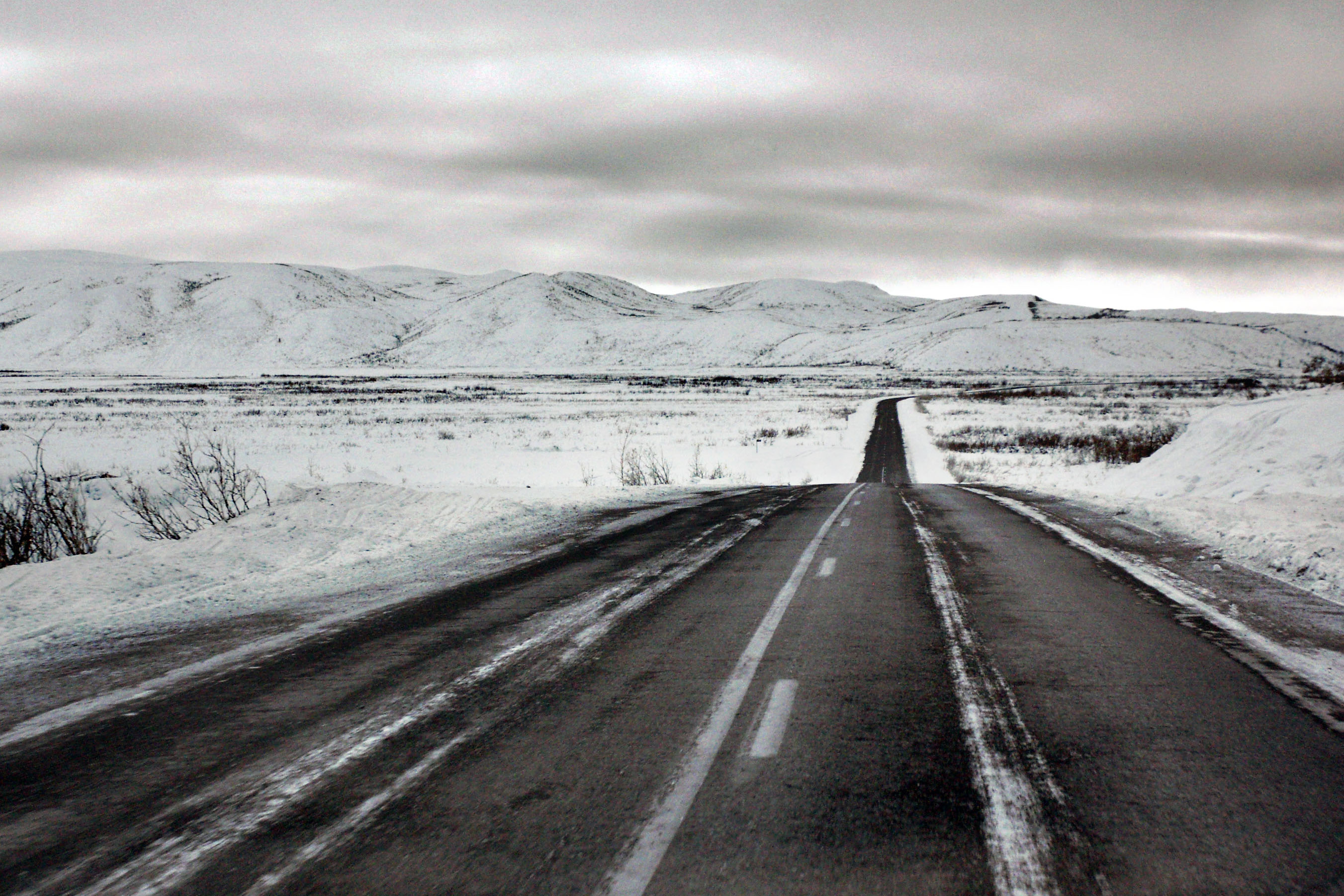
Driving down the Richardson to Glennallen, where we will hit the Glenn Highway. The infrared does nothing against the low cloud cover.
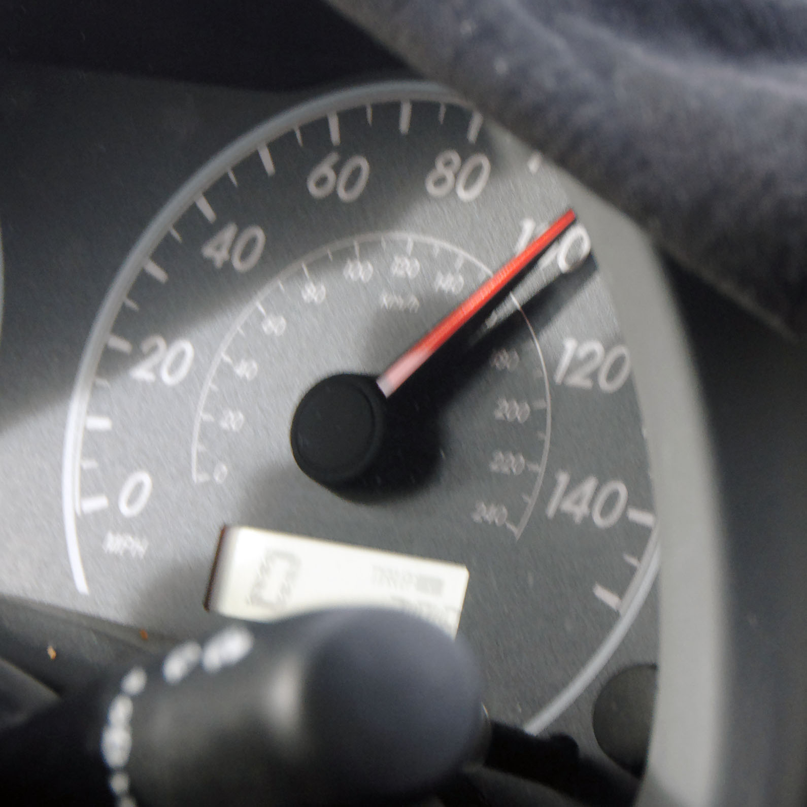
Here is where we attempt to set some kind of land speed record. I think at one point I didn’t go below 95mph for about 20 miles.
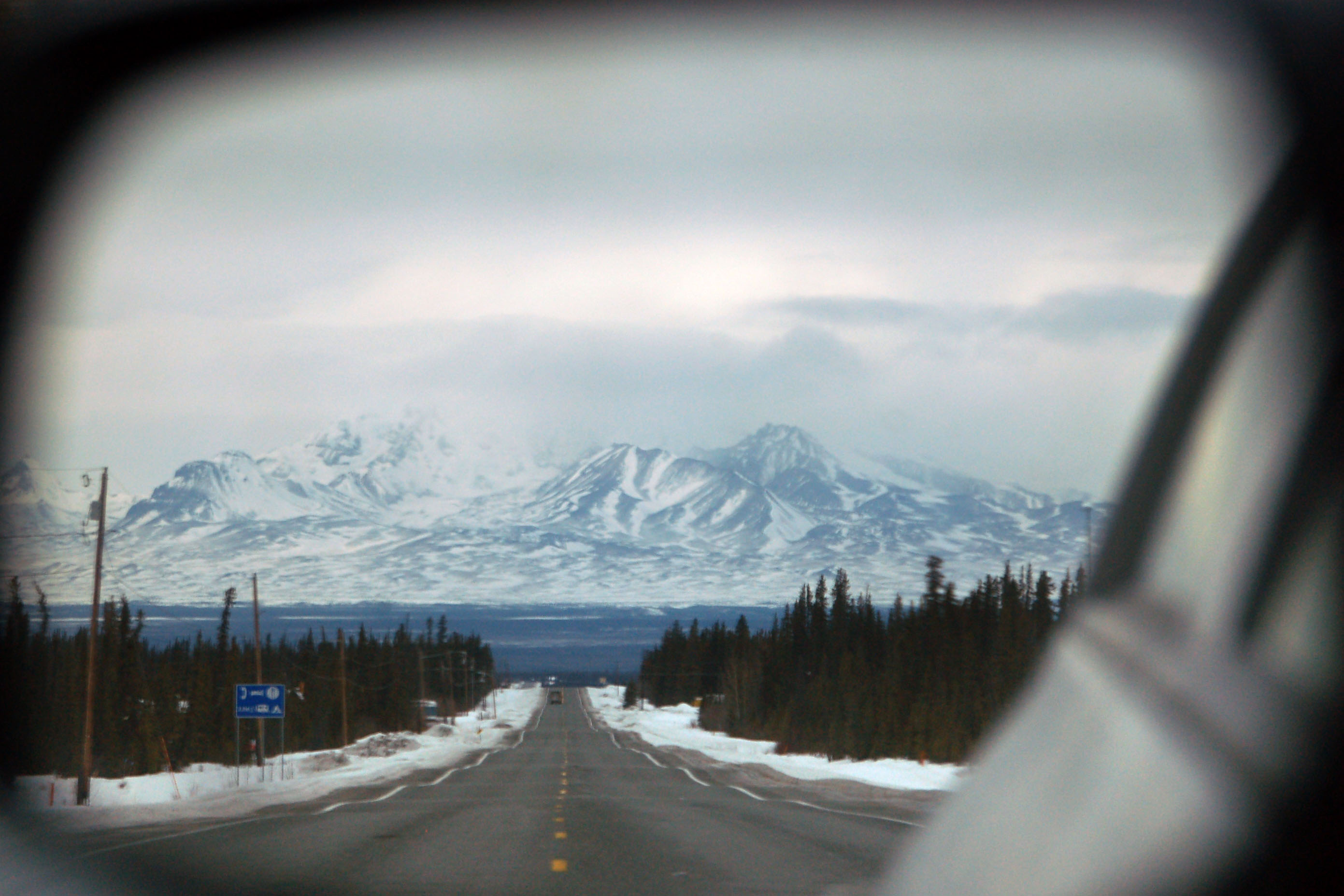
Stratus clouds: the bane of our existence!
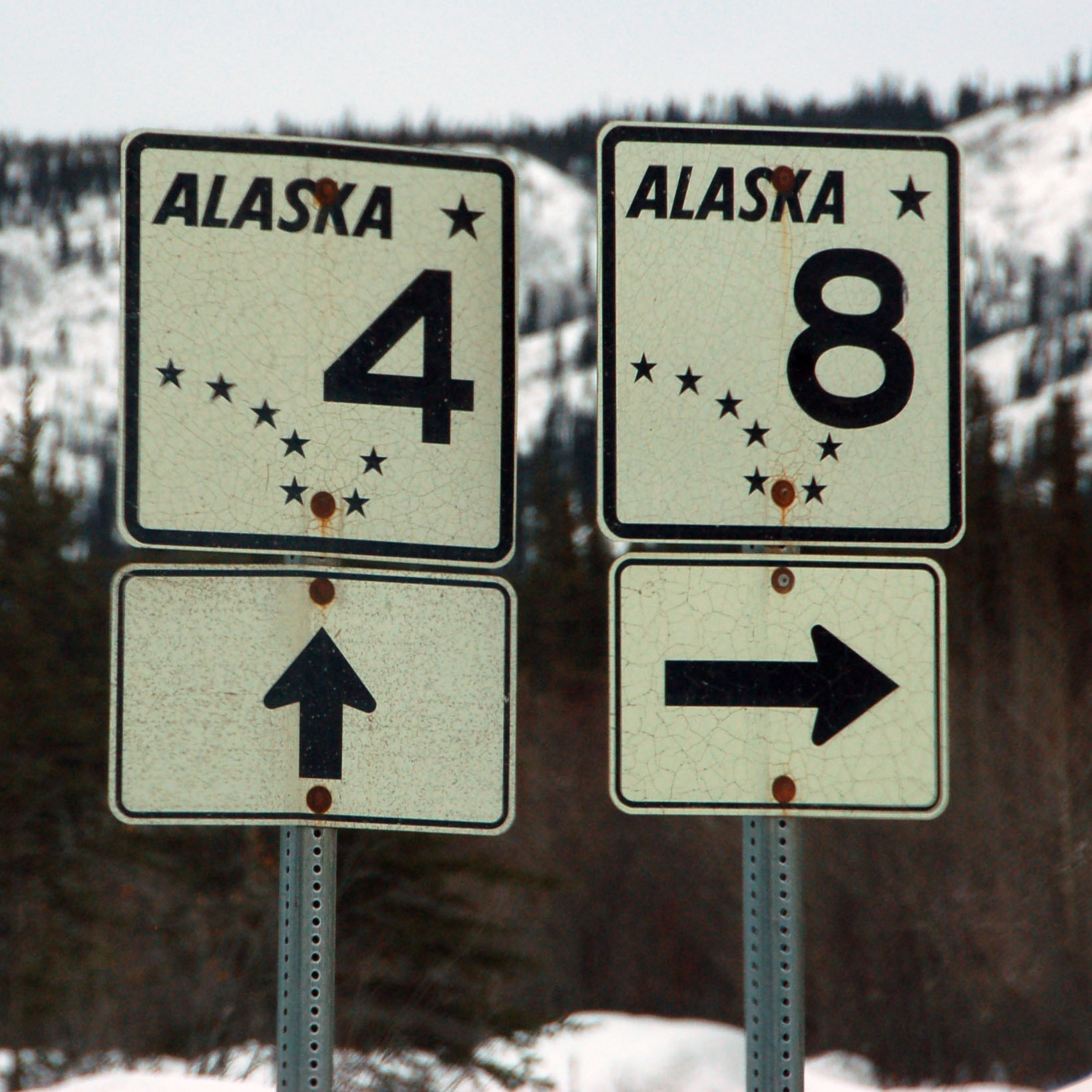
Old silver scotchlite shields at the junction of the Richardson and Denali Highways. The Richardson is the other half of route 2, and also route 4. The Denali is closed for the season.
What’s this? Featureful clouds! This is a very short-lasting phenomenon: soon we’ll be lost in the murk again. (By the way, that is an IR photo – the landscape is sufficiently without vegetation that it looks the same as visible light would.)

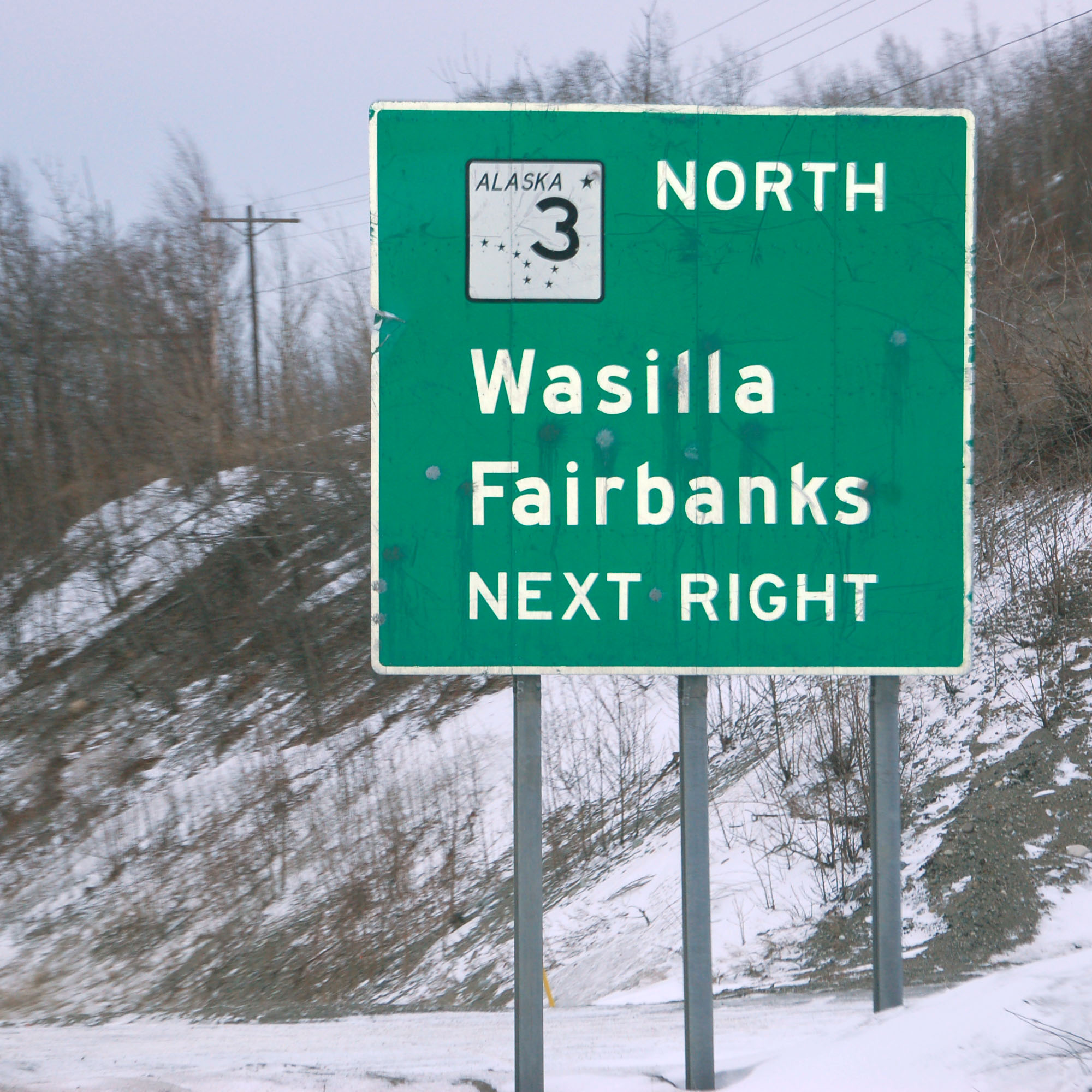
We reach the junction with highway 1, that’ll take us to Anchorage. [Dan photo.]
Looking backwards at the Tok Cutoff, which is highway 1 to the east of highway 4.

Not to be confused with the Lake Louise in Alberta.
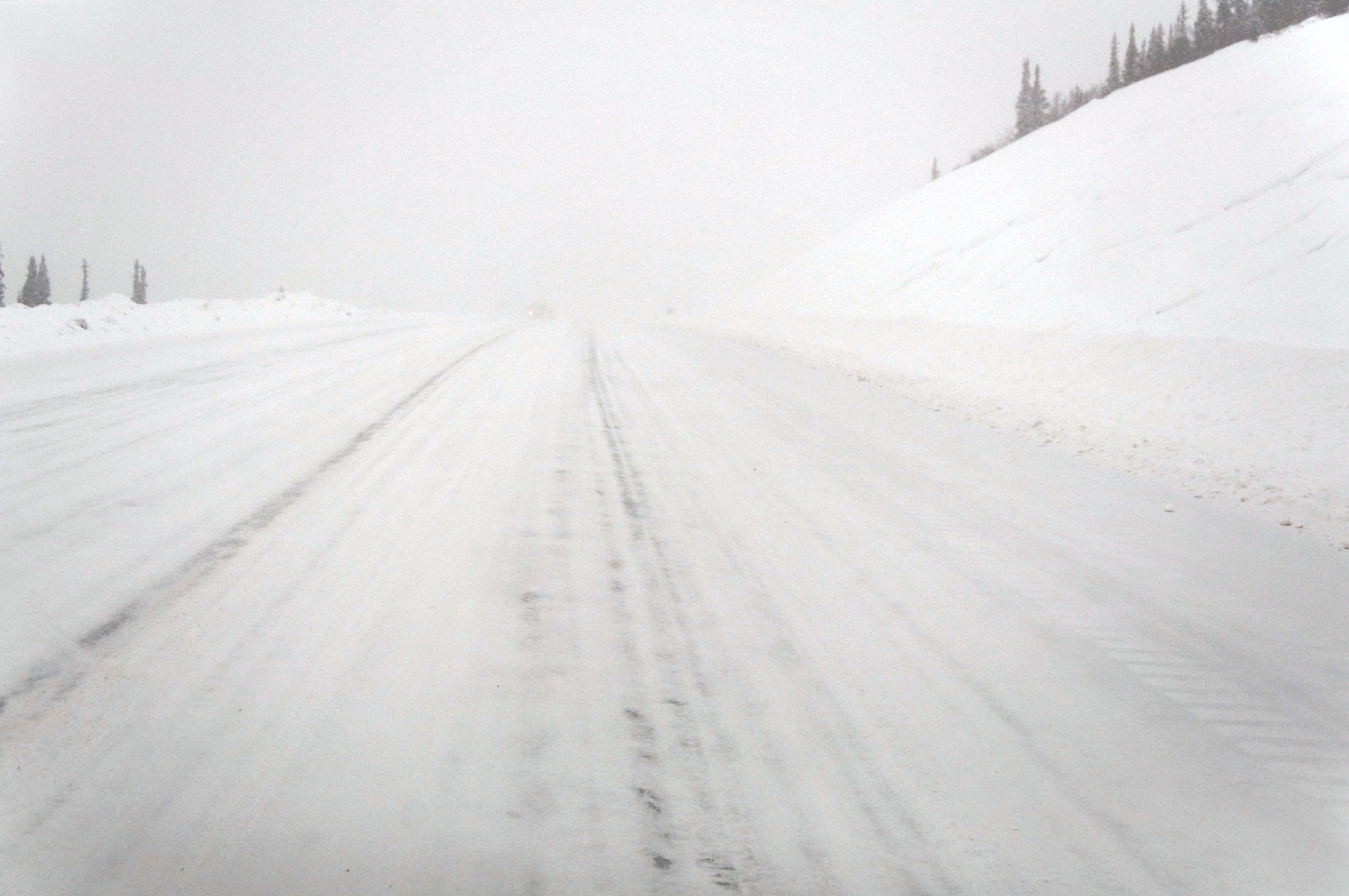
Here, Dan takes all the photos, while I attempt to keep us on the road. This photo has had the contrast blown up 800%. The road wasn’t nearly this visible in real life!
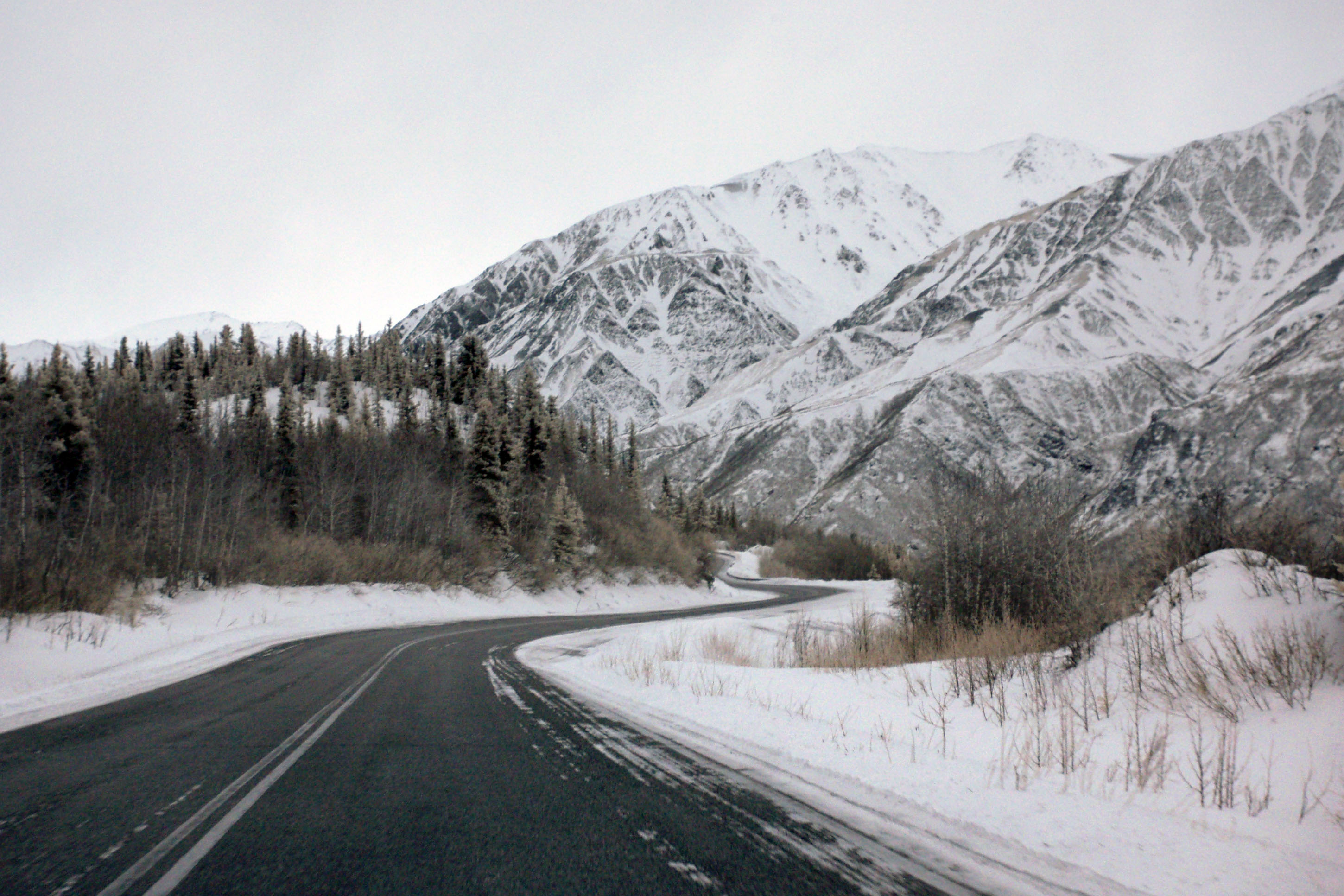
60 miles ’til we get out of this mountain pass. [Dan photo.]
Pick a deity and praise him/her/it/tentacles! Dan processed this photo way better than I could. His photo, he’s the expert.
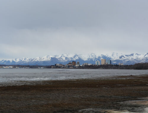
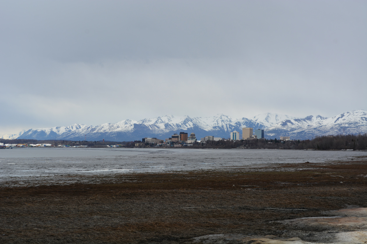
We made it over the mountains! We’ll visit Sarah Palin on our next day of travel – for now, it’s down to Anchorage to eat solid food and sleep in a legitimately horizontal orientation.
next up – we drive to Fairbanks and then back down to Watson Lake on the Alaska Highway.
Awesome blog and pictures!
Wonder if there is an official fastest time?