Arizona 389 is an isolated route that provides access to the Arizona Strip. The route begins at the Arizona/Utah state line in Colorado City, and travels across BLM lands to Fredonia, where it meets U.S. 89A.
Arizona 389 was added to the state highway system in 1960, and completed on August 11, 1967. Prior to the completion of Arizona 389, Colorado City was not on the state highway system.
|
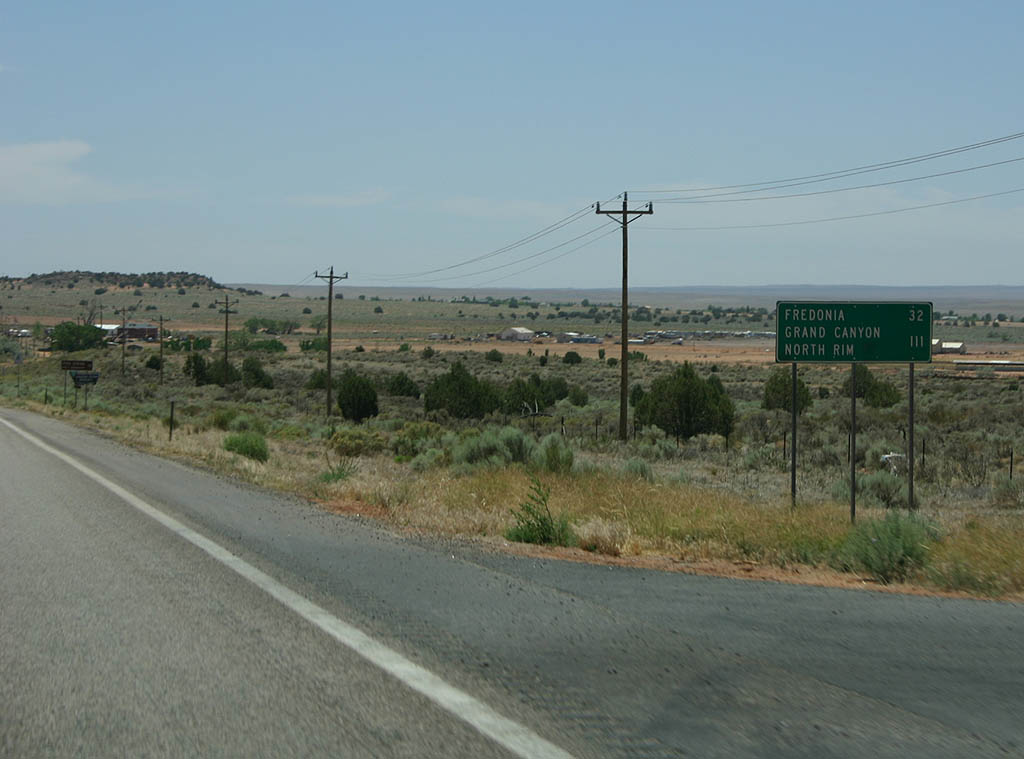
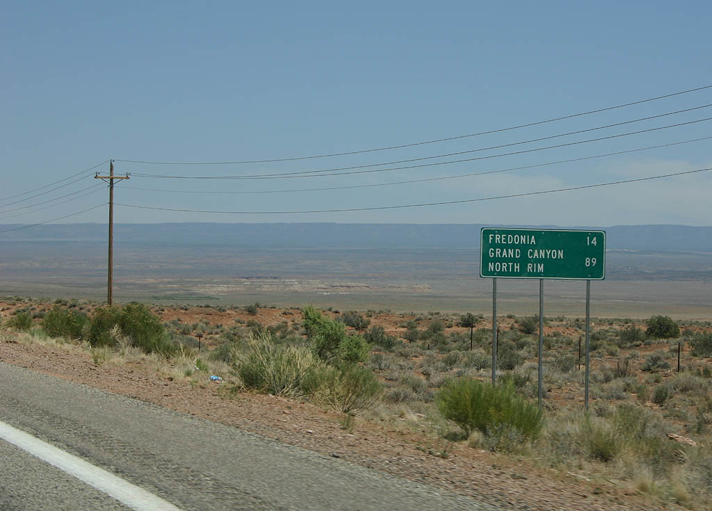
| SR 389 enters the state from Utah in the town of
Colorado City. Colorado City is dominated by the FLDS,
a breakaway sect of the Mormon Church that still believes
in Polygamy. This is a distance sign to Fredonia and the
North Rim of the Grand Canyon. 06/24/07 |
|
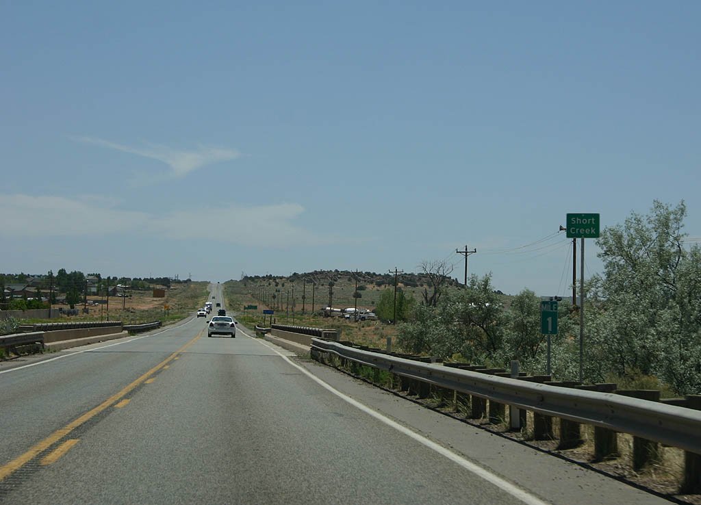
| SR 389 crosses Short Creek. Colorado City used
to be known as Short Creek until the Short Creek raids
of 1953 (designed to catch polygamists). After the raids,
the town was renamed to erase the stigma of the raids. 06/24/07 |
|
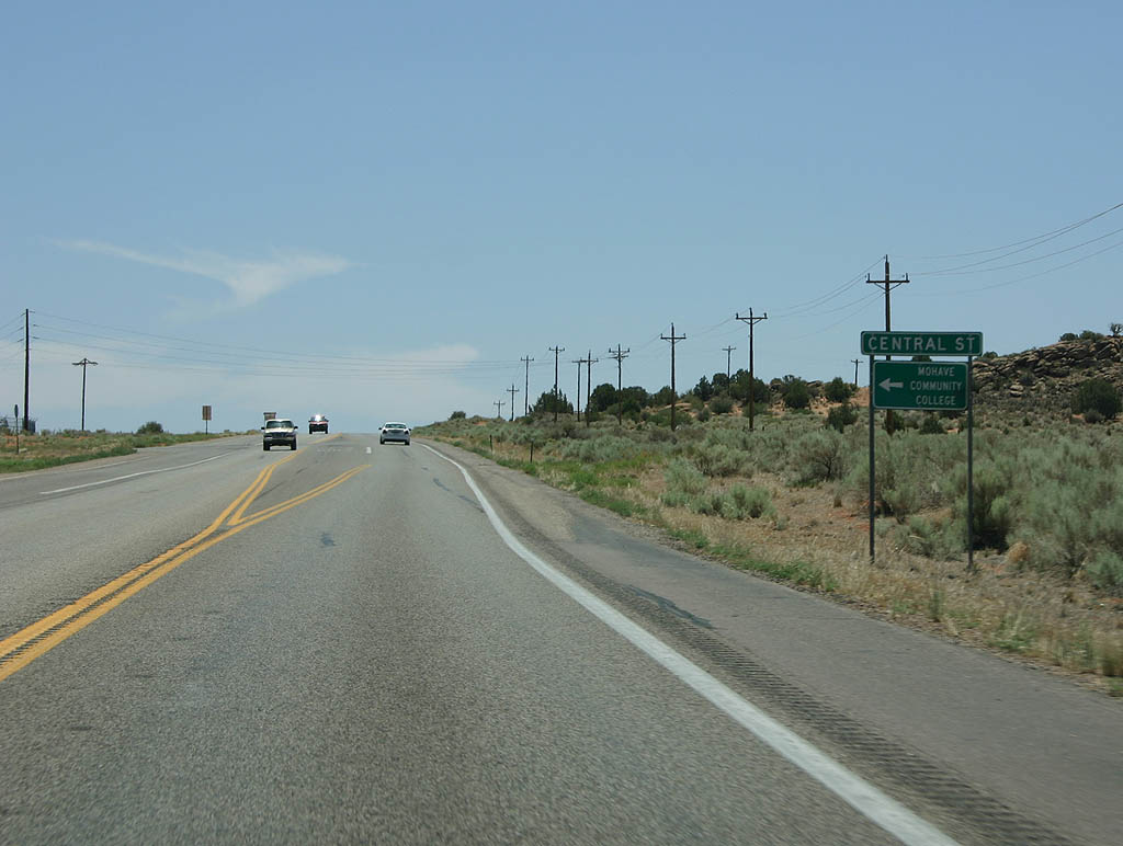
| SR 389 meets Central Street here. The highway bypasses
downtown Colorado City, partially due to the wishes of
notoriously reclusive residents. Unfinished buildings
are seen throughout the town, and partially due to 1960s
road design philosophy. 06/24/07 |
|
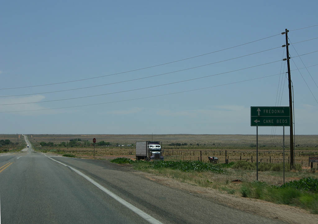
| Now leaving Colorado City, we see a turnoff for the
town of Cane Beds. Cane Beds is an offshoot community
of Colorado City, where many former FLDS members now live. 06/24/07 |
|
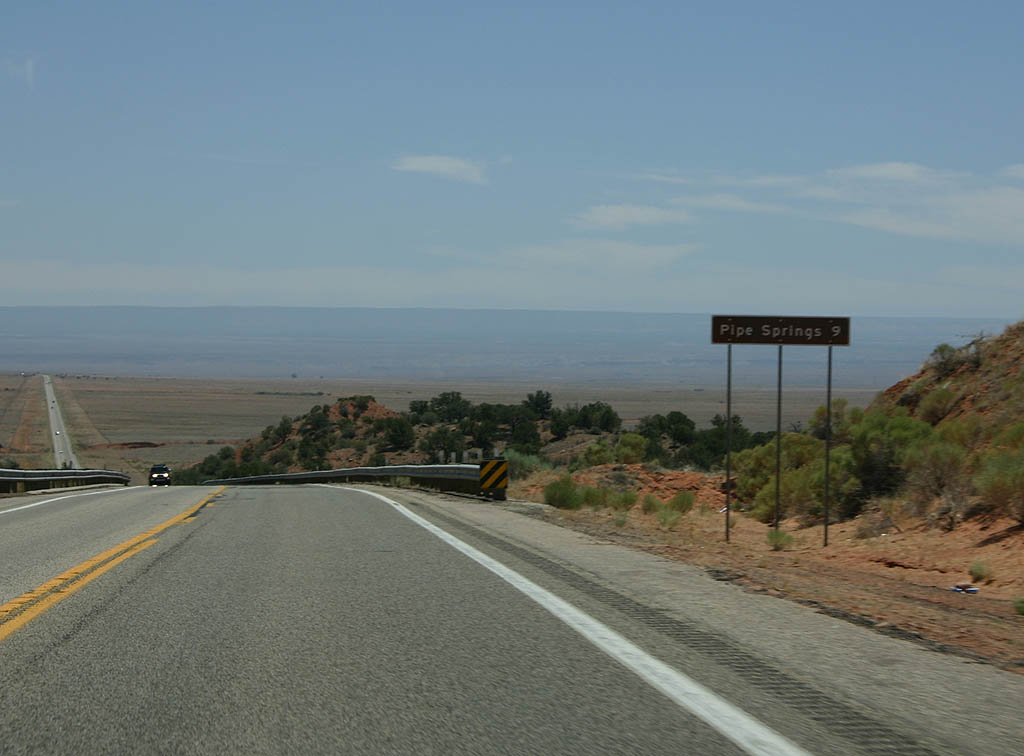
| Distance sign to Pipe Spring National Monument. 06/24/07 |
|
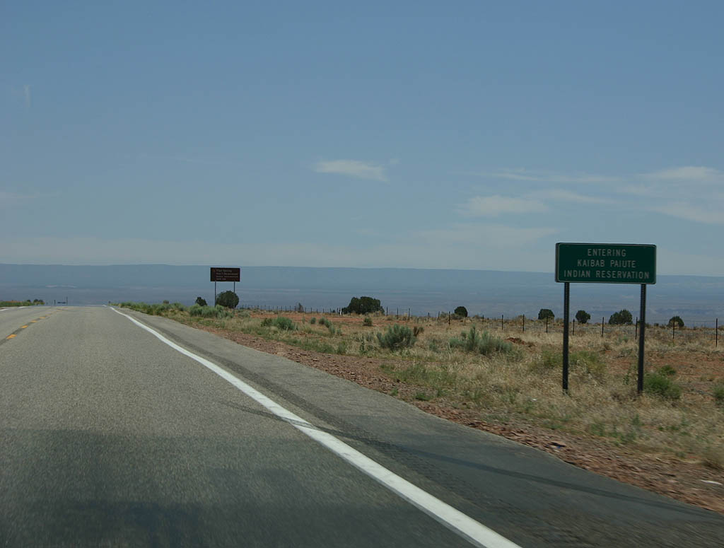
| SR 389 enters the Kaibab Paiute Indian Reservation
here. 06/24/07 |
|
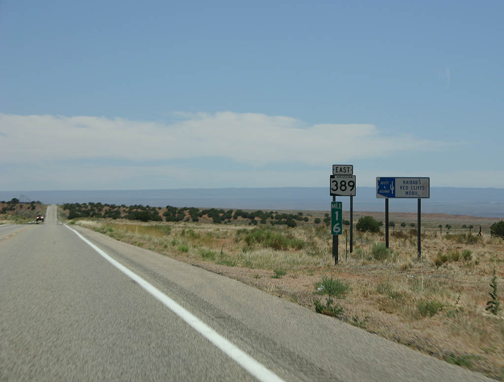
| SR 389 is a short road. Pipe Spring National Monument
marks the halfway point, and this shield is one of the
few along the road. 06/24/07 |
|
| Pipe Spring National
Monument is a Mormon fort built around Pipe Spring,
a natural spring at the base of the cliffs. The fort was
built to support ranching operations conducted under the
Mormon Church in the 1800s. 06/24/07 |
|
| Turn left at the Pipe Spring turnoff to reach the towns
of Kaibab and Moccasin, both located on the Kaibab Paiute
Indian Reservation. 06/24/07 |
|
| Distance sign to Fredonia and the north rim of the Grand
Canyon. 06/24/07 |
|
| This is a typical view of SR 389 as it travels
through the sparsely populated Arizona strip. 06/24/07 |
|
| Toroweap is an overlook along the North Rim of the Grand
Canyon. This is the lowest overlook (in elevation) along
the rim, but it is accessed by a 61 mile long dirt road.
High clearance vehicles are mandatory. 06/24/07 |
|
| Distance sign to Fredonia and the North Rim of the Grand
Canyon. 06/24/07 |
|
| Turn left to reach Sixmile Village. The Village is part
of the Kaibab Paiute Indian Reservation. 06/24/07 |
|
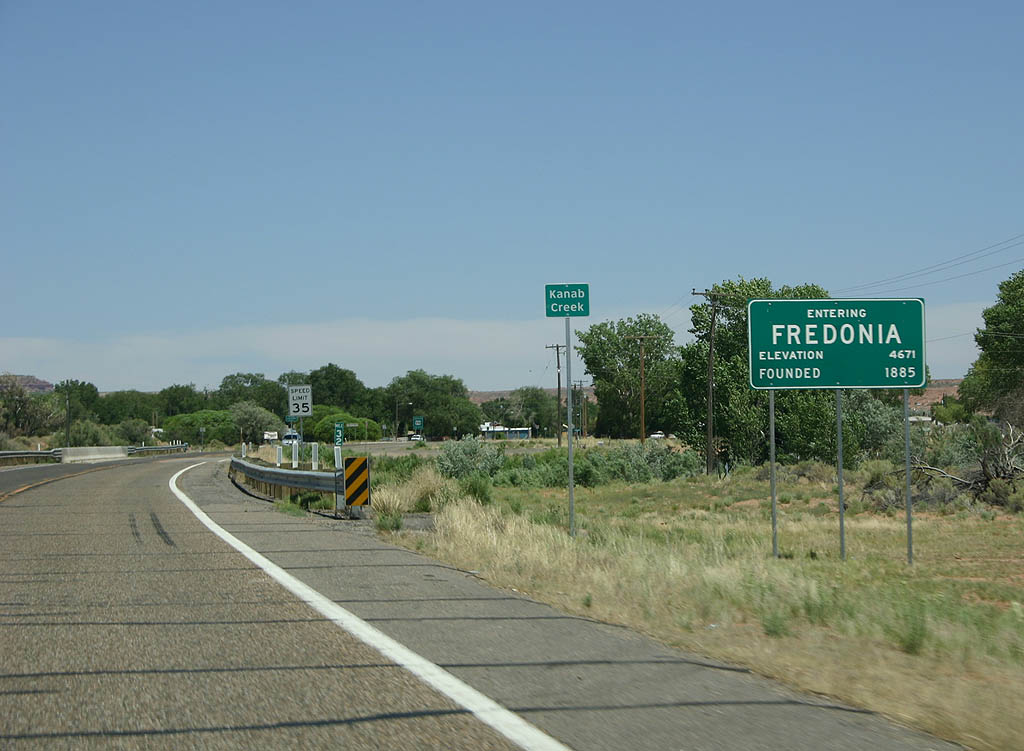
| SR 389 enters the town of Fredonia. Fredonia, the
largest town of the Arizona Strip, is a cattle and ranching
center. Many Polygamists moved to Fredonia in the late
1800s to escape scrutiny in Utah, although the town abolished
Polygamy when the Mormon Church abolished the practice
in 1890. 06/24/07 |
|
| Advance signage for U.S. 89A, 1/2 mile. 06/24/07 |
|
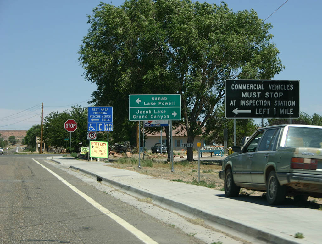
| This group of signs marks the end of SR 389. Commercial
traffic must turn left to reach the Arizona inspection
station along US 89A at the state line, where there is
also a welcome center and rest area. 06/24/07 |
|
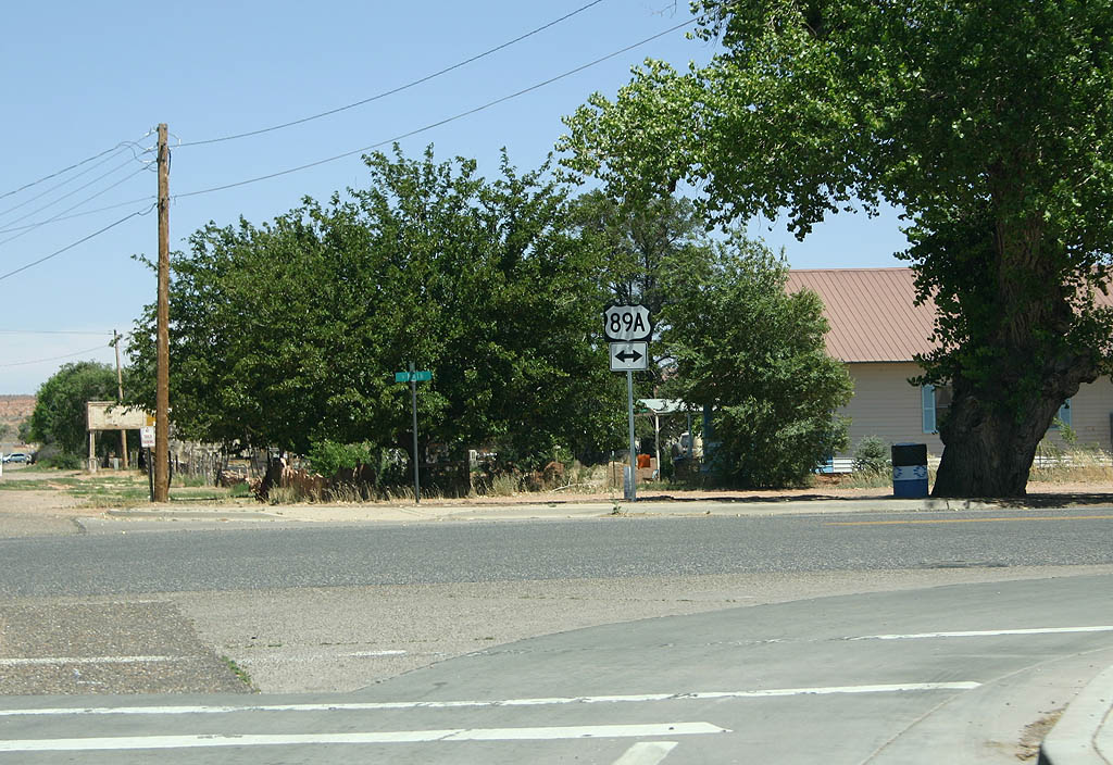
| There is no end shield posted for SR 389. The road
ends unceremoniously here at US 89A. Traffic turning left
heads north to Kanab, Utah, while traffic turning right
travels east to Jacob Lake and eventually to US 89 at
Bitter Springs. 06/24/07 |
Page Updated 07-14-2007.