
SR 97 is a short highway connecting SR 96 to U.S. 93. The route was added to the state highway system on December 16, 1962.
SR 97 does not directly serve any communities, but connects Bagdad and the Bagdad Mine to U.S. 93. The road was added to the State Highway System at the request of Yavapai County to serve the residents of Bagdad.
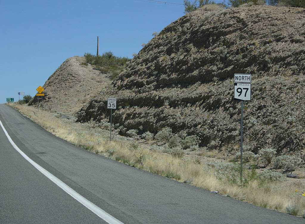 | Northbound SR 97 begins here, at US 93. 03/25/07 |
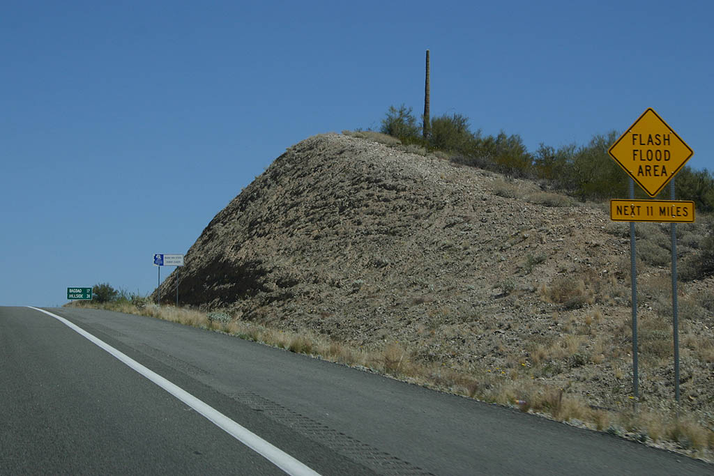 | SR 97 crosses many washes as it winds through the mountains toward SR 96. All of these wash crossings are at-grade (no bridges are built on the route), so this sign warns motorists to be aware of potential flash flooding. 03/25/07 |
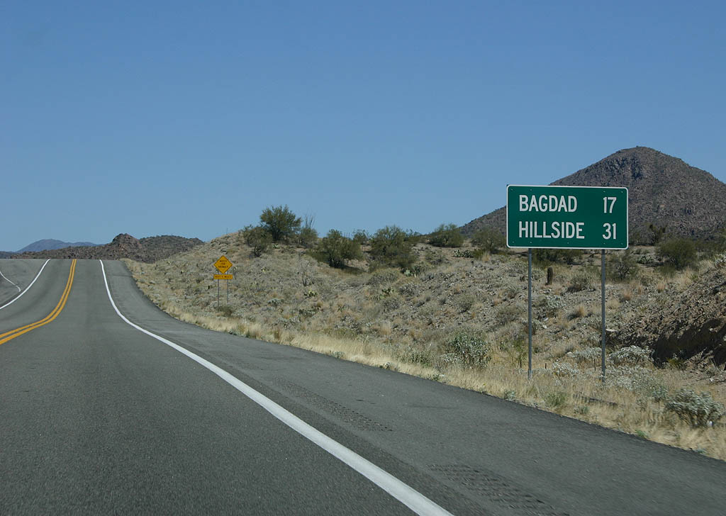 | Distance sign to Bagdad (17 miles) and Hillside (31 miles). Neither town lies on SR 97, but both towns lie at either end of SR 96. 03/25/07 |
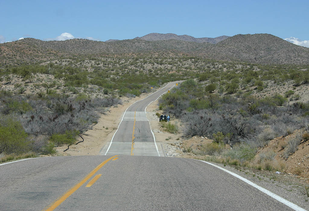 | This is a typical panorama along SR 97. Arizona 97 winds along Bridle Creek and Cowboy Wash as it climbs up to SR 96. 03/25/07 |
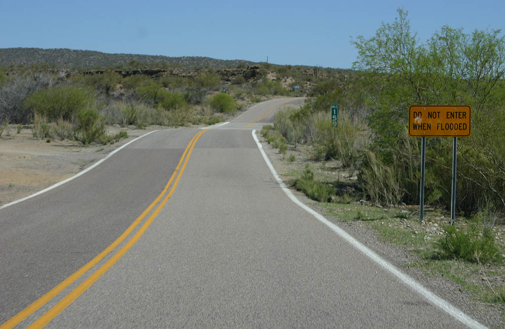 | Many of the wash crossings are marked with this sign, warning travellers not to attempt to cross the wash when it is flooded. 03/25/07 |
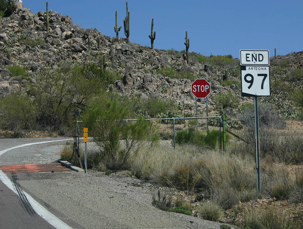 | SR 97 ends here, at SR 96. Travellers may turn left to reach Bagdad and the Bagdad Mine, or right to reach Hillside. 03/25/07 |
Sources:
- Minutes of the State Highway Commission. 10/23/1962, Arizona Highway Commission.
- Minutes of the State Highway Commission. 12/16/1962, Arizona Highway Commission.
Photo Credits:
03/25/07 by Kevin Trinkle
Connect with:
U.S. 93
State Route 96
Page Updated 02-14-2012.