Arizona 82 begins in Nogales, and travels northeast to Arizona 80 near Tombstone via Patagonia. The road is a quick access to the northeast from Nogales, and also provides access to Sonoita and Tombstone.
Arizona 82 is one of the oldest highways in Arizona, dating back to 1927. The 65 mile long road bisects the Coronado National Forest between Patagonia and Sonoita.
|
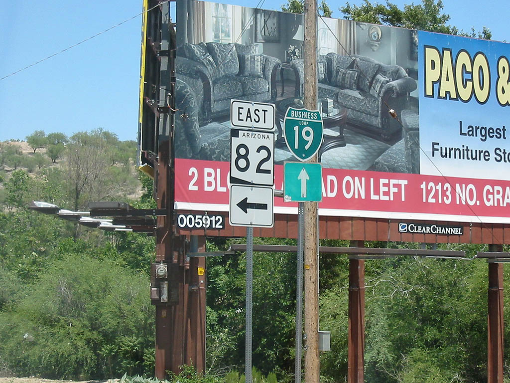
| SR 82 begins here, at Business Loop I-19 (former
US 89). 05/25/03 |
|
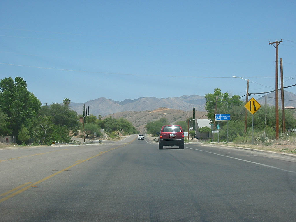
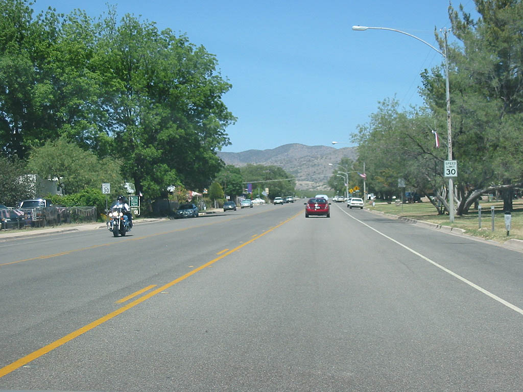
| SR 82 leaves Nogales quickly as it heads northeast. 05/25/03 |
|
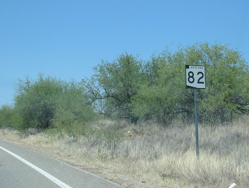
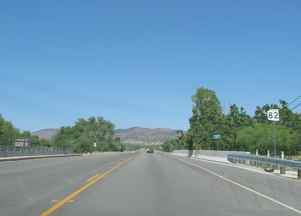
| SR 82 passes through low brush-covered lands just
outside Nogales. 05/25/03 |
|
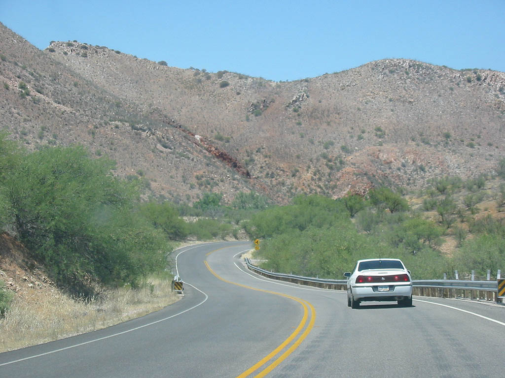
| SR 82 winds to follow Sonoita Creek as it heads
towards Patagonia. 05/25/03 |
|
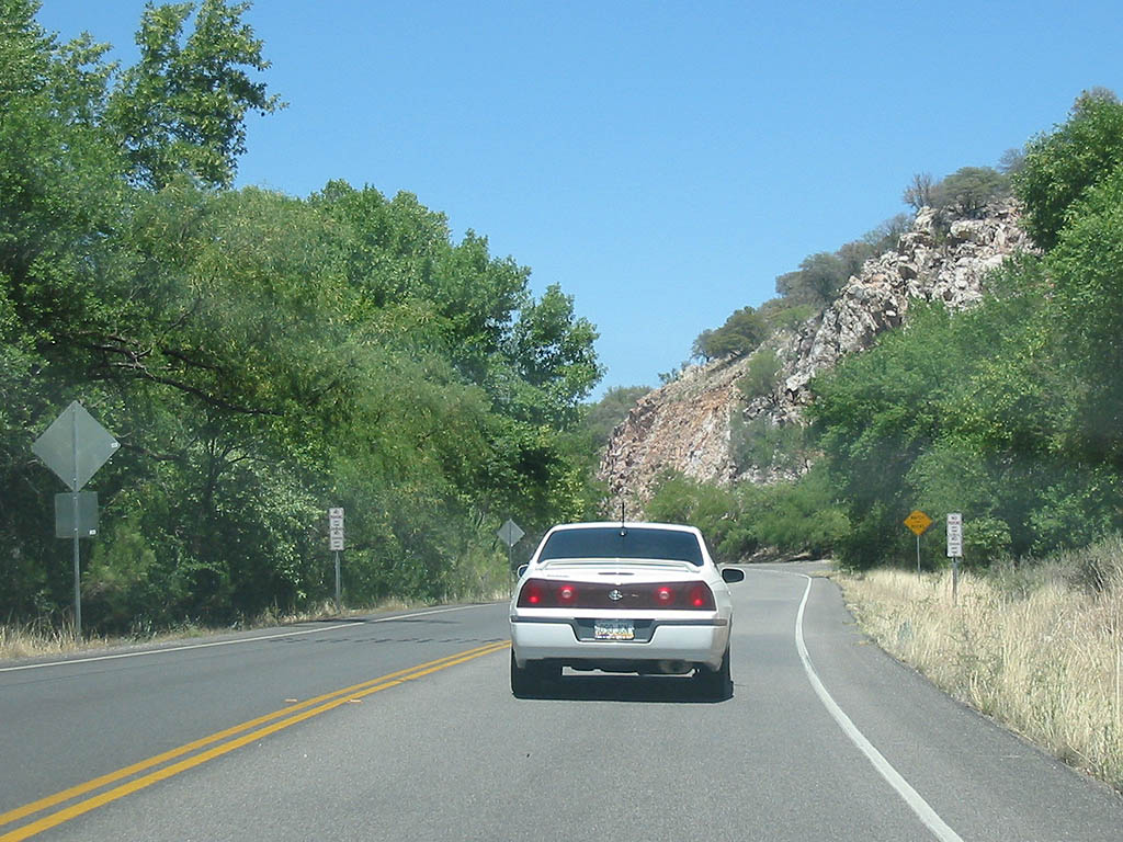
| As SR 82 gets closer to the creek, riparian vegetation
becomes more prevalent. 05/25/03 |
|
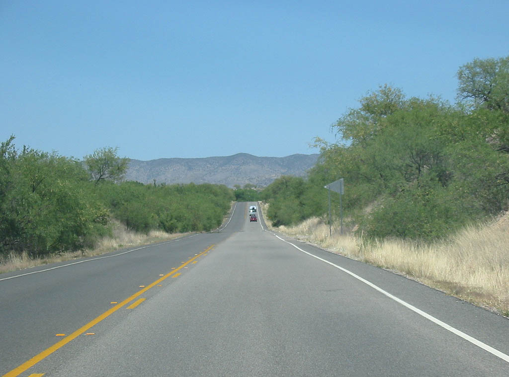
| The Sonoita Creek gorge widens out into a valley as
it approaches Patagonia. 05/25/03 |
|
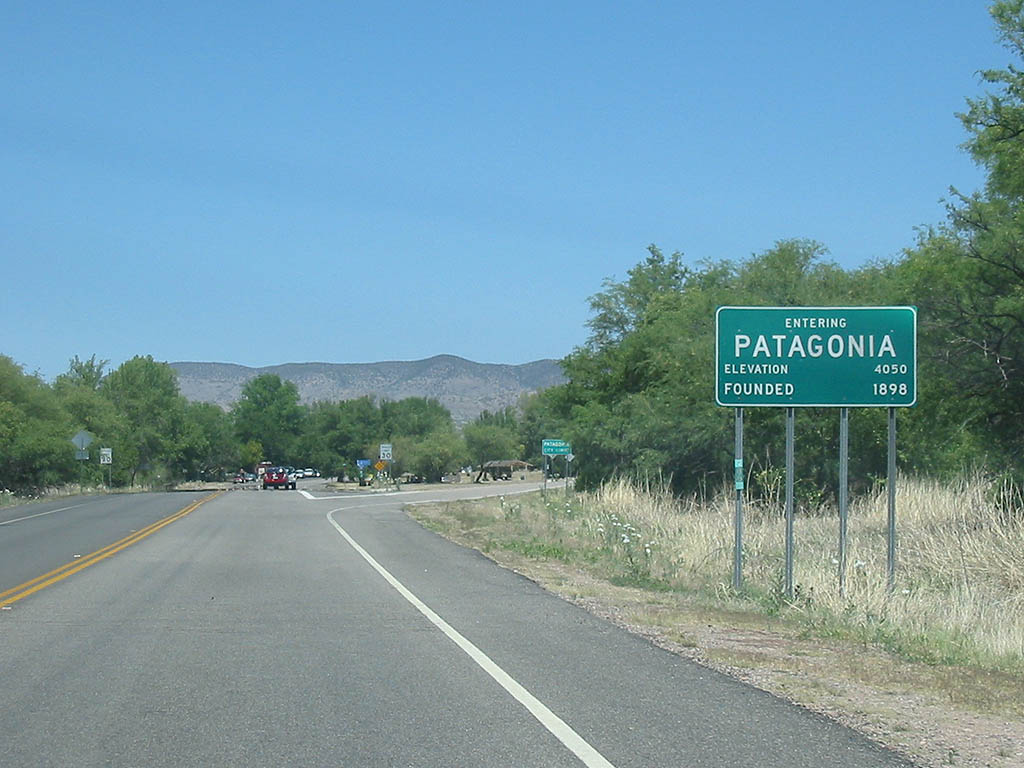
| SR 82 enters the town of Patagonia here. 05/25/03 |
|
| Patagonia is a small town located in the Sonoita Creek
valley. The town was founded in the 1850s, and named after
the long-abandoned Patagonia Mine. 05/25/03 |
|
| SR 82 crosses Sonoita Creek here. 05/25/03 |
|
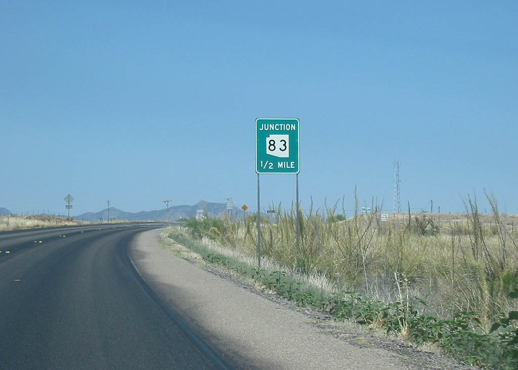
| Advance signage for SR 83, 1/2 mile. SR 83
travels south to Parker Canyon Lake, and north to Mountain
View and Interstate 10. 05/25/03 |
|
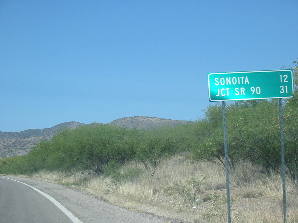
| Distance sign to Sonoita and SR 90. 05/25/03 |
|
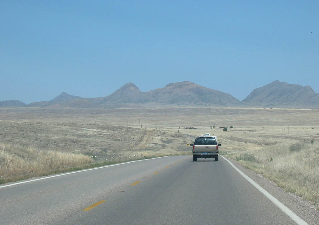
| The Mustang Mountains can be seen in the background of this photo of SR 82 as it crosses the headwaters of Cienaga Creek. 05/25/03 |
|
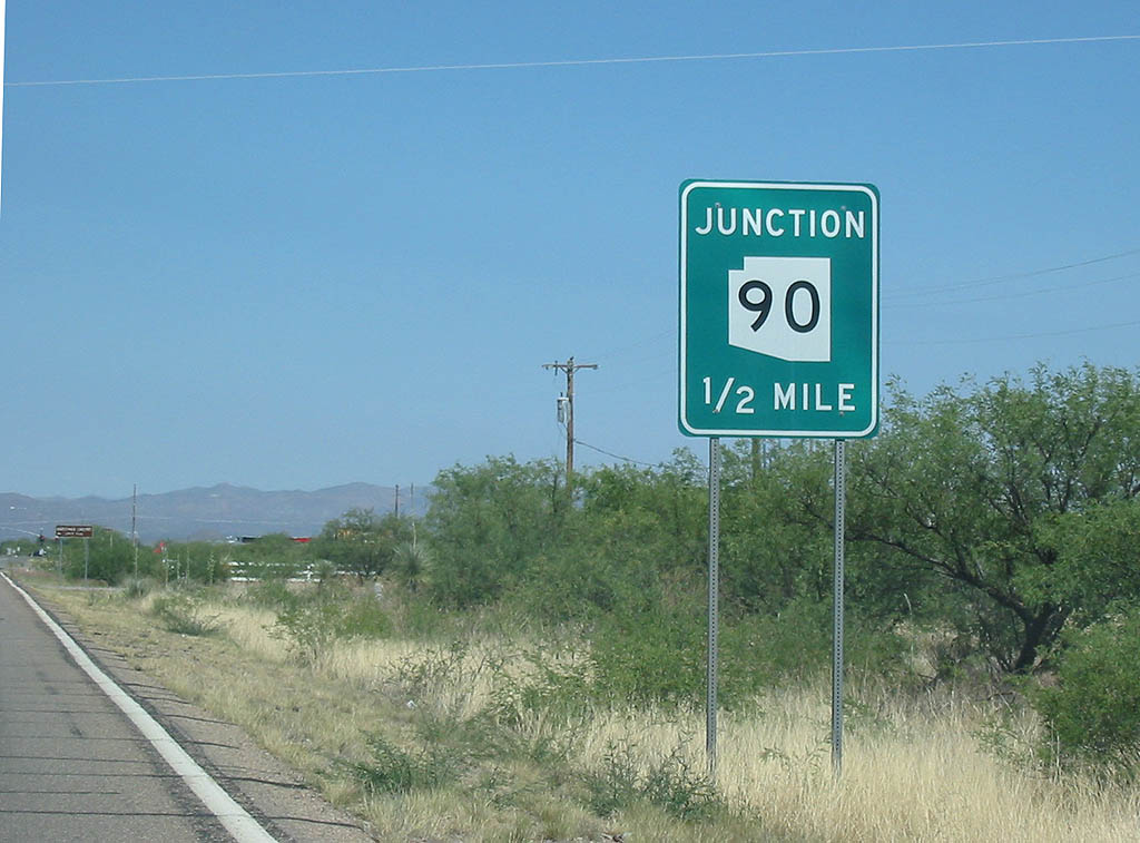
| Advance signage for SR 90, 1/2 mile. 05/25/03 |
|
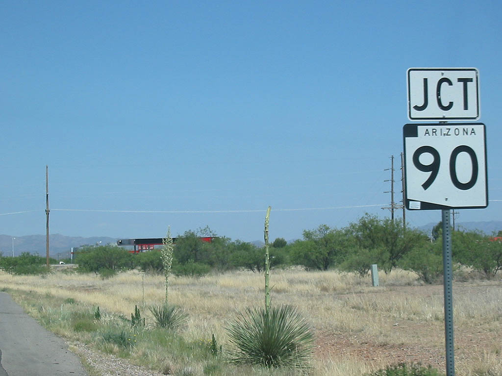
| SR 82 meets SR 90 here. Turn left on Arizona
90 to reach Huachuca City and Benson, or turn right to
reach Sierra Vista. 05/25/03 |
|
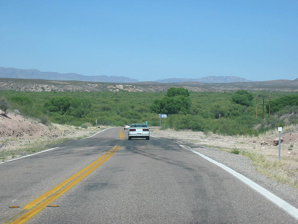
| SR 82 descends into the San Pedro River Valley
between SR 90 and SR 80. 05/25/03 |
|
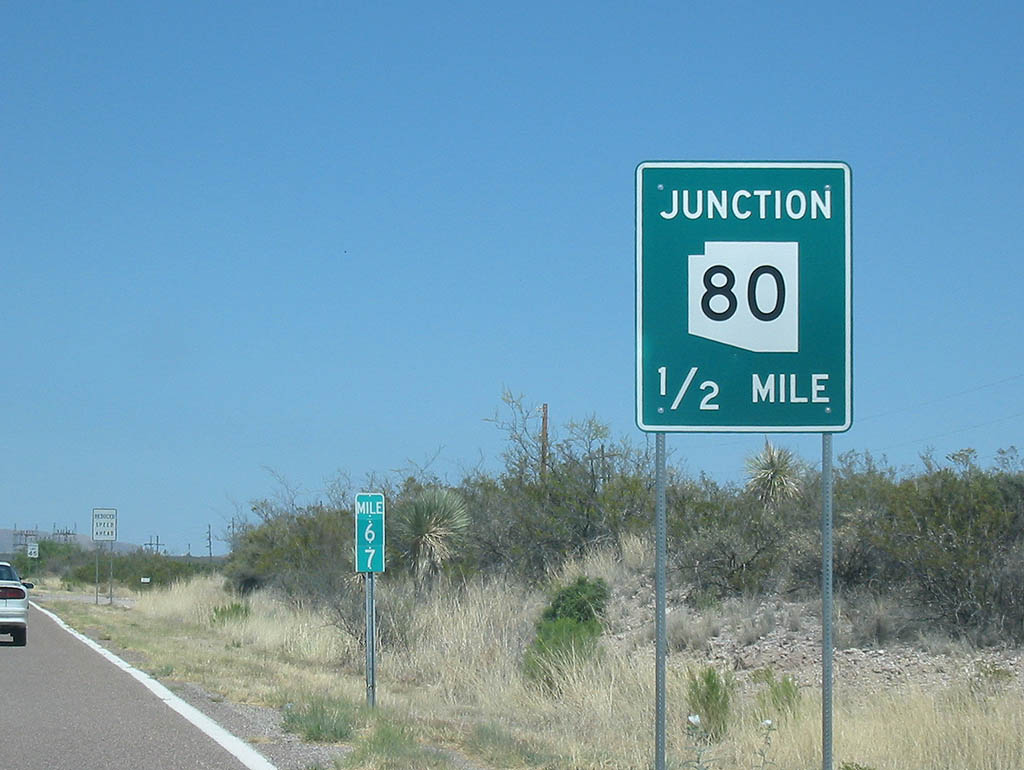
| Advance signage for SR 80, 1/2 mile. 05/25/03 |
|
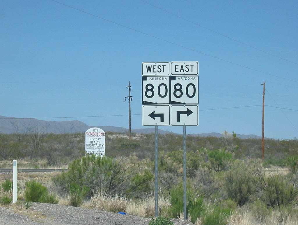
| SR 82 ends at SR 80. Turn left to take Arizona
80 westbound to Benson, or turn right to reach Tombstone. 05/25/03 |
Page Updated 10-10-2007.