


05/02/16

05/02/16

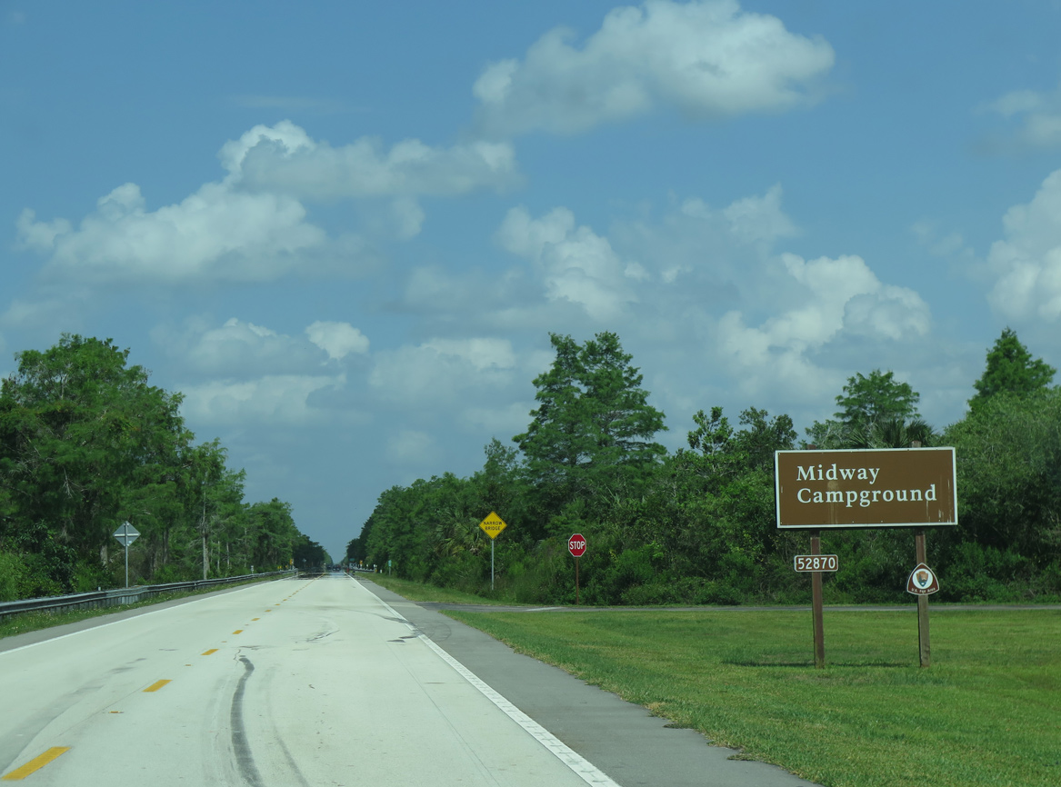
The Oasis Visitors Center is located on the north side of U.S. 41 by mile marker 55.
05/02/16
05/02/16

Southbound at Fiftymile Bend and the access road to Dade-Collier Training and Transition Airport (TNT).
05/02/16

A reassurance marker stands beyond the access road to the Dade-Collier Training and Transition Airport (TNT).
05/02/16
05/02/16

07/05/11

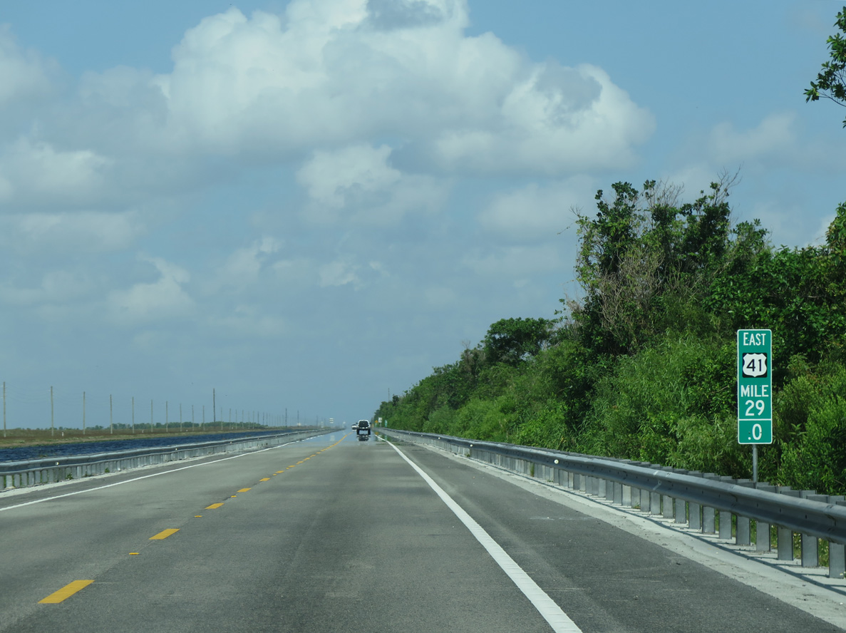
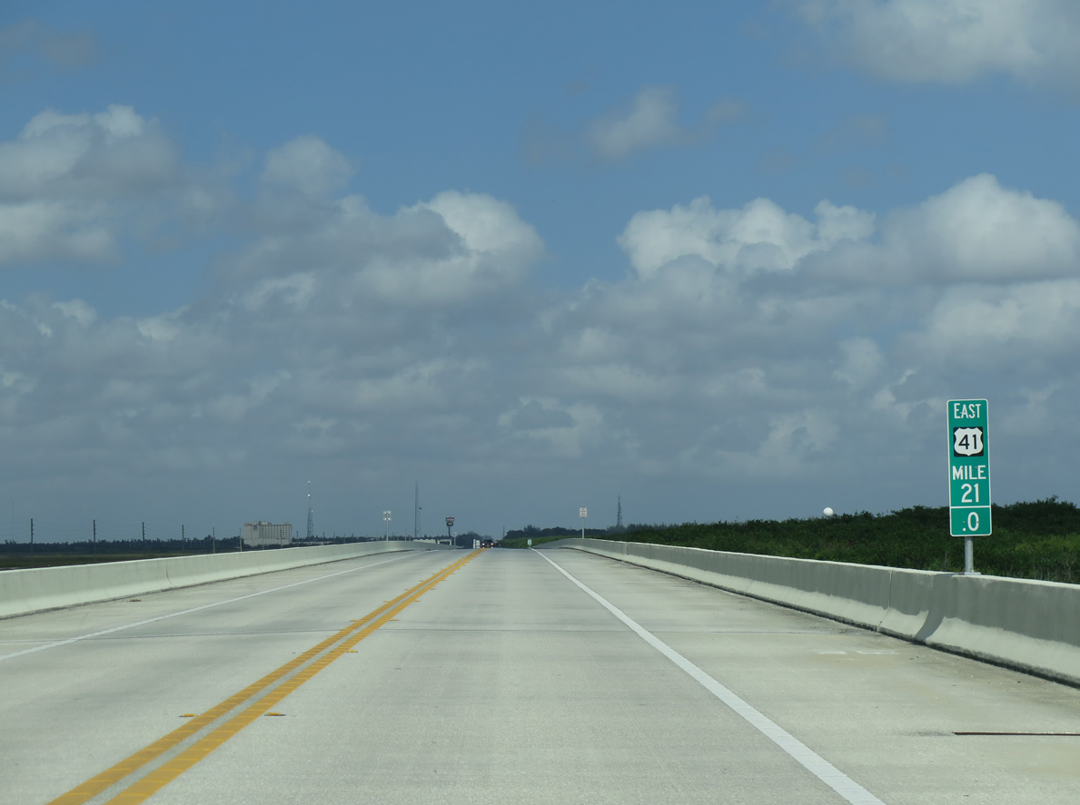
Mileposts are posted along U.S. 41 across the Everglades in Miami-Dade County.
05/02/16

05/02/16
Loop Road returns to U.S. 41 (Tamiami Trail) east from Pinecrest at Fortymile Bend.
05/02/16

U.S. 41 crosses L-28 Canal just east of Fortymile Bend. Line with homes, Old Tamiami Trail parallels to the south.
05/02/16

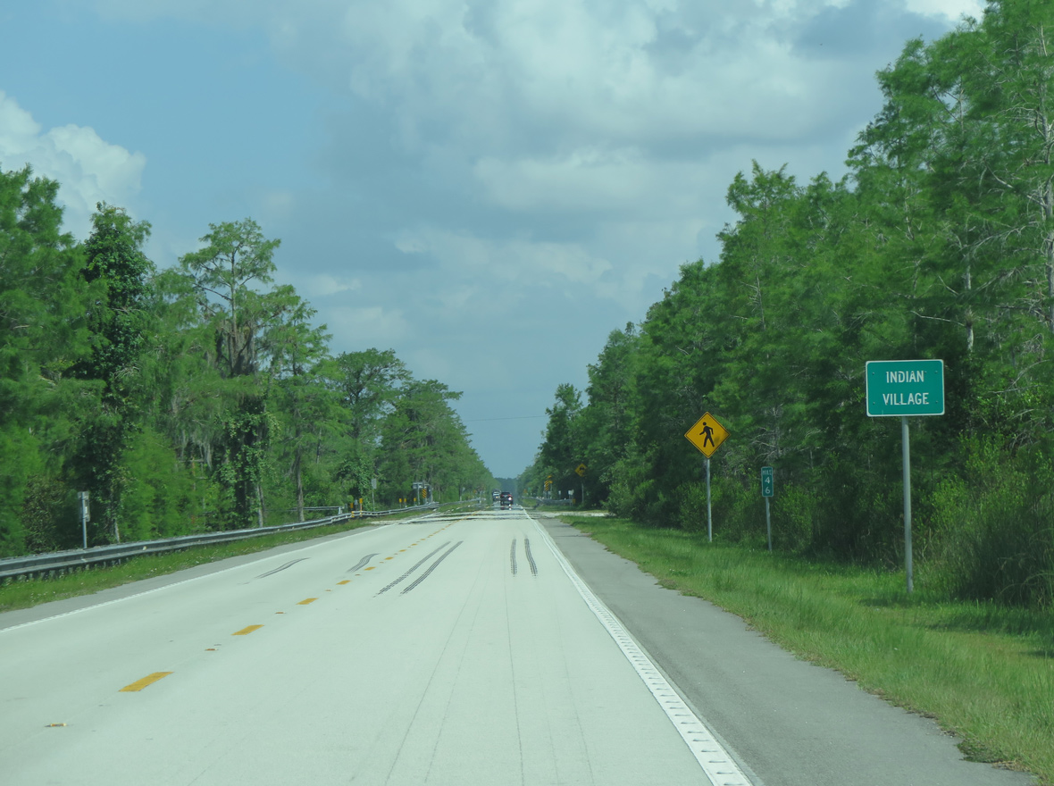
U.S. 41 proceeds east to Miccosukee Indian Village.
05/02/16

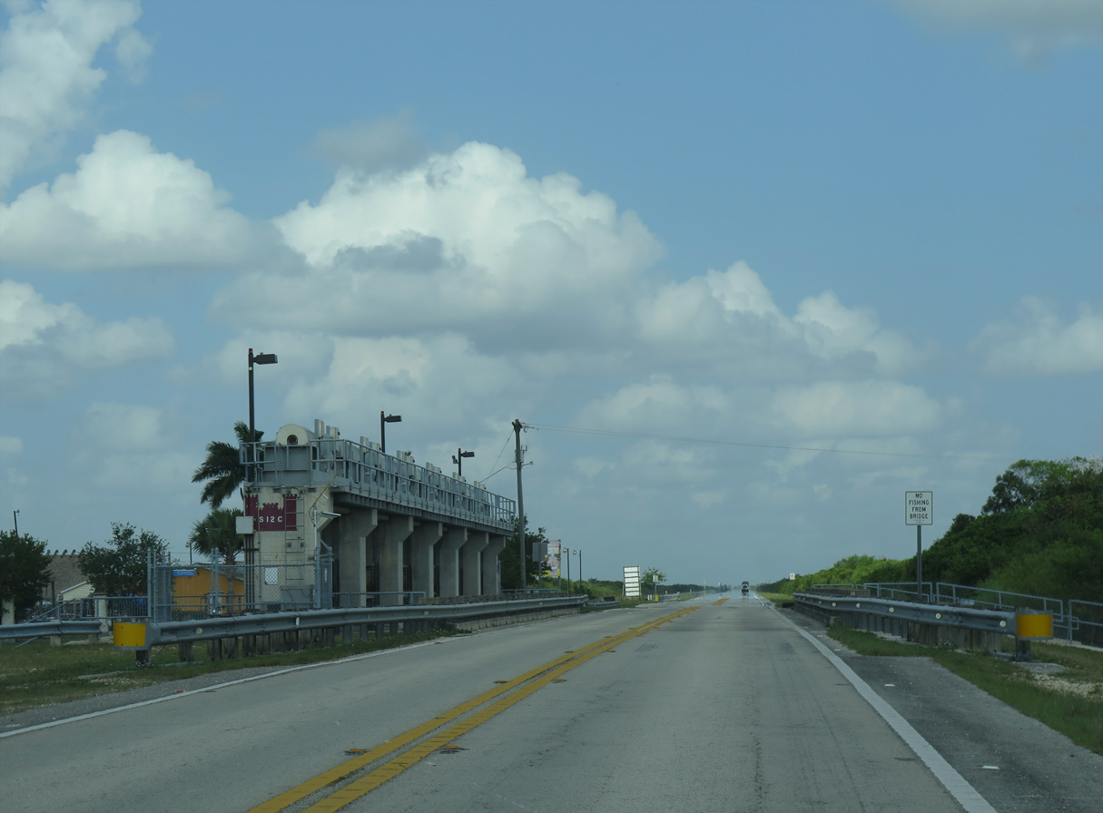
Diversion dams such as this one help regulate water flow in the Everglades, especially along the canal that parallels U.S. 41 from Miccosukee Indian Village east to Sweetwater.
05/02/16

Shark Valley Loop Road stems south from U.S. 41 to the Shark Valley Observation Tower.
05/02/16

05/02/16
05/02/16

The parallel canal near milepost 30.5.
05/02/16

U.S. 41 spans an inlet joining the two parallel canals ahead of Canal L-67A across a bridge built in 1962.
05/02/16

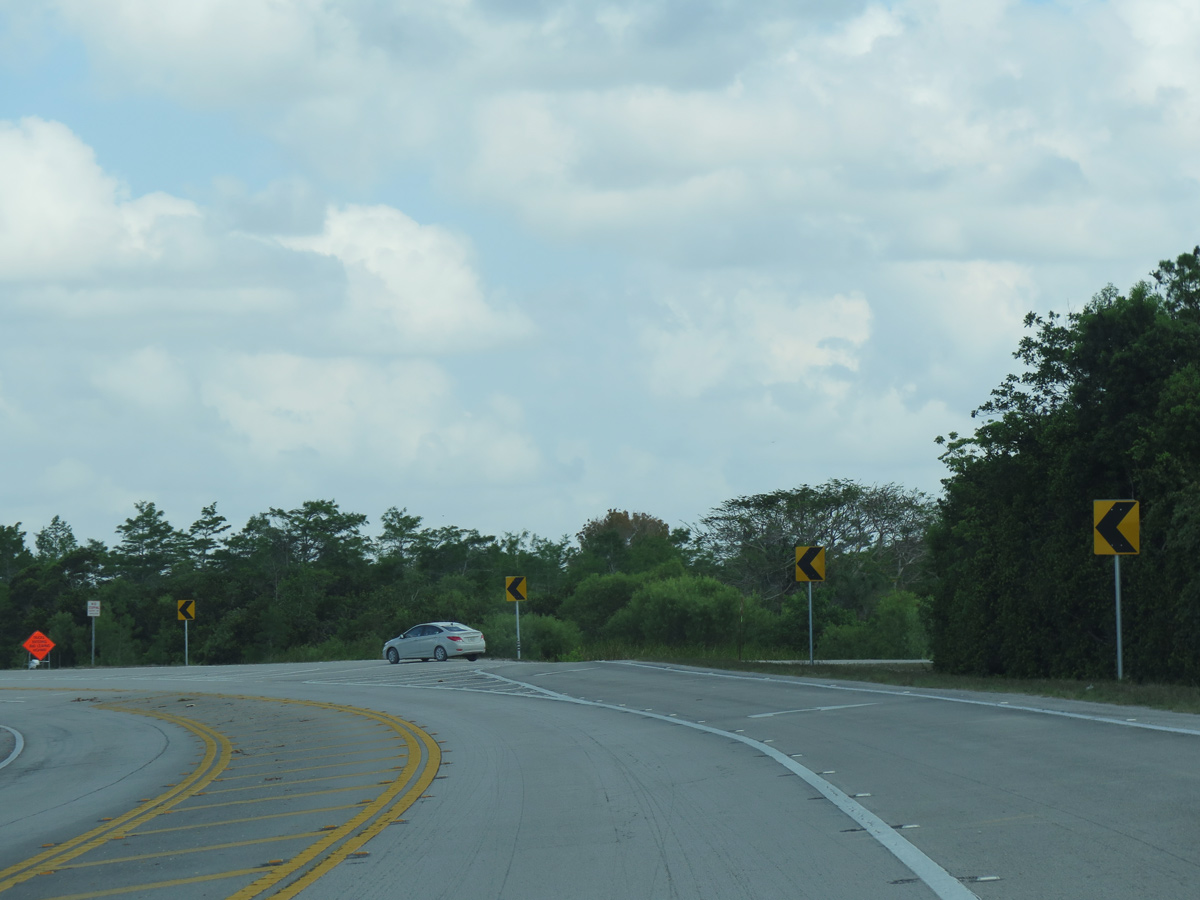
Leaving Miccosukee Indian Reservation by milepost 30, U.S. 41 shifts slightly south across Tamiami Canal.
05/02/16
U.S. 41 bee lines east across the remainder of the Everglades along the south side of Tamiami Trail.
05/02/16

05/02/16

05/02/16

U.S. 41 east at Gator Park.
05/02/16

05/02/16

U.S. 41 passes through the settlement of Coopertown at mile marker 23.
05/02/16

05/02/16

U.S. 41 elevates across a mile long bridge constructed from 2011-13 to restore water flow blocked by the original construction of Tamiami Trail in the 1920s.1
05/02/16

The one-mile bridge on Tamiami Trail along with 2.3 miles of bridging completed in 2019 increased the flow of water to the south by 80%, significantly more than anticipated.1
05/02/16
With completion by 2024, construction rebuilding the remaining 6.7 miles of U.S. 41 through the east Everglades added culverts and improved roadway safety and stormwater treatment.1
05/02/16

Miccosukee Casino & Resort appears along the eastern horizon from the east end of the one-mile bridge on U.S. 41.
05/02/16

05/02/16

05/02/16

Nearly out of the Everglades, U.S. 41 east crosses L-31N Canal.
05/02/16

U.S. 41 expands to four lanes ahead of SR 997 (Krome Avenue). SR 997 extends north to U.S. 27 near Miramar and south to Homestead across remaining agricultural areas where sugar cane and other crops are grown.
05/02/16

Formerly designated SR 27, Krome Avenue was renumbered in the late 1980s to eliminate confusion with nearby U.S. 27. Located along U.S. 27 at SR 80 in Palm Beach County, South Bay remains the control point for SR 997 north.
05/02/16

SR 997 north concludes at U.S. 27 in 14.28 miles adjacent to the Broward County line. Heading south, SR 997 travels 19.58 miles to SR 998 (NW 8th Street) in Homestead.
07/05/11

07/05/11

The final rural stretch along U.S. 41 (Tamiami Trail) precedes SW 157th Avenue.
05/02/16
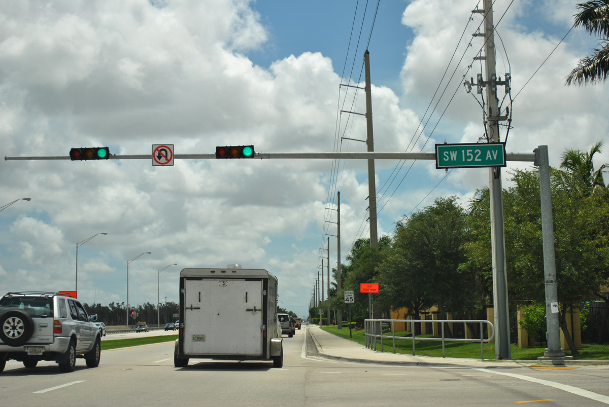
U.S. 41 (SW 8th Street) east at SW 152nd Avenue south.
07/05/11
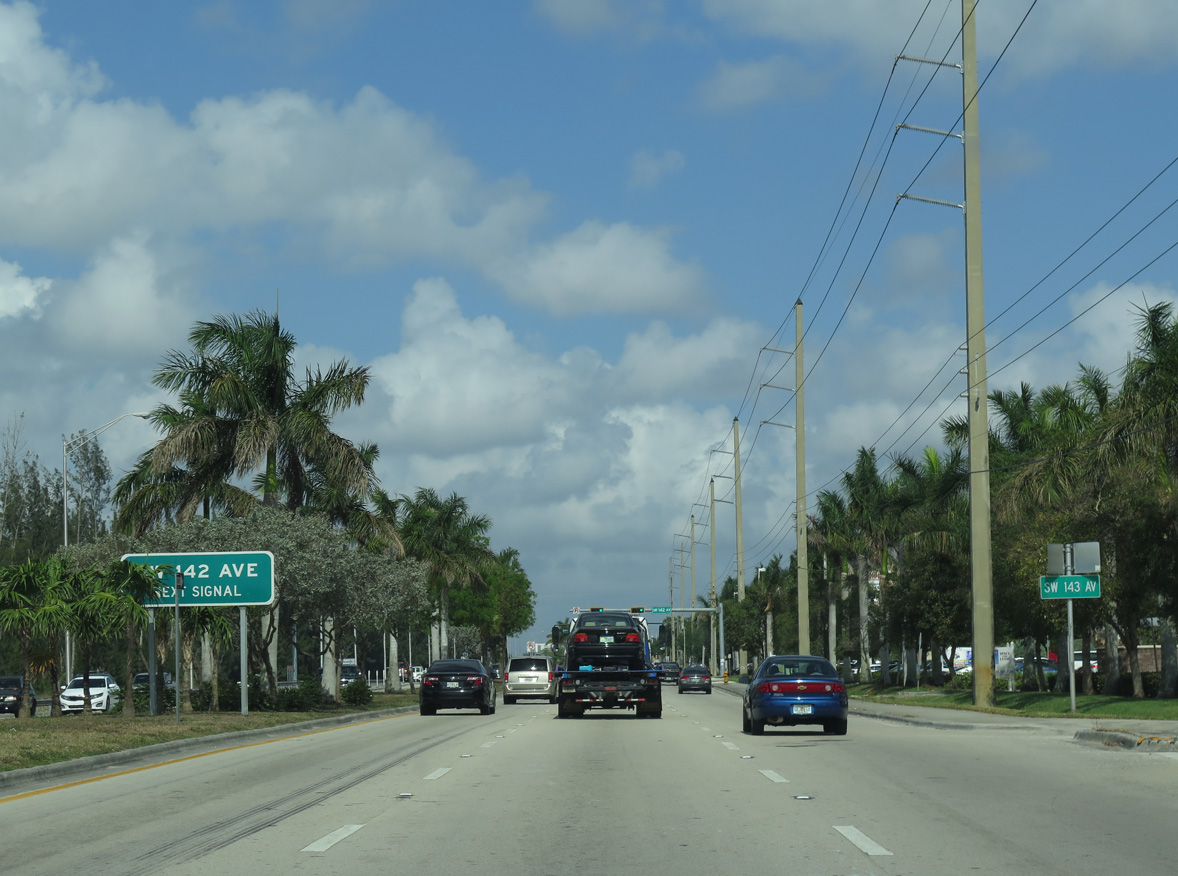
The traffic lights along U.S. 41 (Tamiami Trail) at SW 142nd Avenue were added in 2011.
05/02/16

SW 137th Avenue becomes SR 825 north from U.S. 41 (SW 8th Street). The southern leg of SR 825 lines SR 137th Avenue south from SR 94 (SW 88th Street), 5.19 miles from U.S. 41 at Kendale Lakes.
05/02/16

SR 825 (SW/NW 137th Avenue) links U.S. 41 with SR 836 (Dolphin Expressway) as part of a 1.47 mile long course from SW 8th Street to NW 12th Street.
05/02/16

Sources:
- "Removing the cork in the bottle: Reconstructing Tamiami Trail to restore water flow to Everglades National Park." Everglades National Park web site, February 19, 2021.
Photo Credits:
07/05/11, 05/02/16 by AARoads
Connect with:
State Road 997 - Krome Avenue
Page Updated 04-09-2024.