Oregon Route 39 travels southeast from Klamath Falls and Altamont to Merrill and Tulelake, California via the transition to California State Route 139. The state highway combines with both U.S. 97 Business and Oregon Route 140 (Winnemucca to the Sea Highway) through the Klamath Falls area.
|
| U.S. 97 (The Dalles-California Highway) southbound at the split with U.S. 97 Business/OR 39 (Kit Carson Way) in Klamath Falls. U.S. 97 Business follows a 1.6 mile long expressway alignment with OR 39 to Esplanade Avenue and Main Street west through downtown. U.S. 97 meanwhile straddles the west edge of downtown along an expressway of its own. 04/01/05 |
|
| U.S. 97 Business/OR 39 travel over U.S. 97 northbound ahead of the intersection with Campus Drive east and Biehn Street south. Campus Drive leads to the Oregon Institute of Technology and the Winema National Forest headquarters office. 04/01/05 |
|
| Southbound at the signalized intersection with Biehn Street and Campus Drive. Biehn Street leads south 0.7 miles to the intersection of Lakeview Avenue and Oregon Avenue. Campus Drive heads north to Town Center Drive and the O.I.T. campus. 04/01/05 |
|
| The first reassurance marker posted for U.S. 97 Business lies south of the Biehn Street traffic light. OR 39 appears again at the split with the business loop at Esplanade Avenue. 04/01/05 |
|
| Kit Carson Way continues south as a four lane expressway alongside the Southern Pacific Railroad between Campus Drive and Portland Street. 04/01/05 |
|
| U.S. 97 Business/OR 39 (Kit Carson Way) south at Portland Street. Portland Street travels one half mile east from Crescent Avenue to Newcastle Avenue. 04/01/05 |
|
| U.S. 97 Business prepares to split from OR 39 southbound at the Kit Carson Way intersection with Alameda Avenue south and Esplanade Street west. Kit Carson Way parallels the A Canal ahead of the U.S. 98 Business southwest turn into downtown Klamath Falls. 04/01/05 |
|
| A metal guard rail separates U.S. 97 Business/OR 39 (Kit Carson Way) southbound from the adjacent A Canal. The two routes partition ahead with OR 39 continuing south via Alameda Avenue to the Eastside Bypass and Altamont. 04/01/05 |
|
| U.S. 97 Business turns southwest onto Esplanade Street across the A Canal as OR 39 transitions onto Alameda Avenue south. U.S. 97 Business splits into the one way street couplet of Main Street (west) and Klamath Avenue (east) through downtown Klamath Falls. 04/01/05 |
|
| OR 39 continues southeast along a five lane boulevard (Alameda Avenue) to the signalized intersection with Foothills Boulevard and Washburn Way. Foothills Boulevard spurs east into the adjacent hillside. Washburn Way meanwhile travels south one mile to 6th Street (former OR 140). 04/01/05 |
|
| Shasta Way ventures one mile east from 6th Street at Division Street and crosses paths with OR 39 at the Eastside Bypass. Shasta Way continues another two miles east into the community of Altamont. 04/01/05 |
|
| OR 39 (Eastside Bypass) nears the turn onto 6th Street near Altamont. The state highway used to merge with OR 140 here, but OR 140 was relocated from 6th Street onto the Southside Expressway by Klamath Falls International Airport. 04/01/05 |
|
| OR 39 turns eastward onto 6th Street from the Eastside Bypass through Altamont. OR 39 followed 6th Street with OR 140 west into downtown Klamath Falls originally. 6th Street carries five overall lanes through the Altamont business district. 04/01/05 |
|
| Heading out of Altamont, OR 39 nears its merge with OR 140 (Klamath Falls-Lakeview Highway). OR 140 enters the Klamath Falls after a 91 mile drive west from U.S. 395 at Lakeview. OR 39 south and OR 140 west continue together 1.7 miles to the Southside Expressway. 04/01/05 |
|
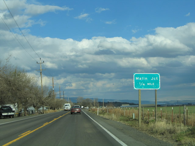
| Travelers bound for OR 140 (Klamath Falls-Lakeview Highway) eastbound depart OR 39 (6th Street) at its southward turn onto Klamath Falls-Malin Highway. OR 140 is a part of the historic Winnemucca to the Sea Highway, an auto trail encompassing roadways from Crescent City, California to Winnemucca, Nevada. 04/01/05 |
|
| OR 39 south (Klamath Falls-Malin Highway) ventures southeast from the Klamath Falls area 13.5 miles to Merrill and 19 miles to the California state line. The state highway in conjunction with OR 139 and U.S. 395 provides a long distance route to Reno, Nevada. Reno lies 246 miles to the southeast. 04/01/05 |
|
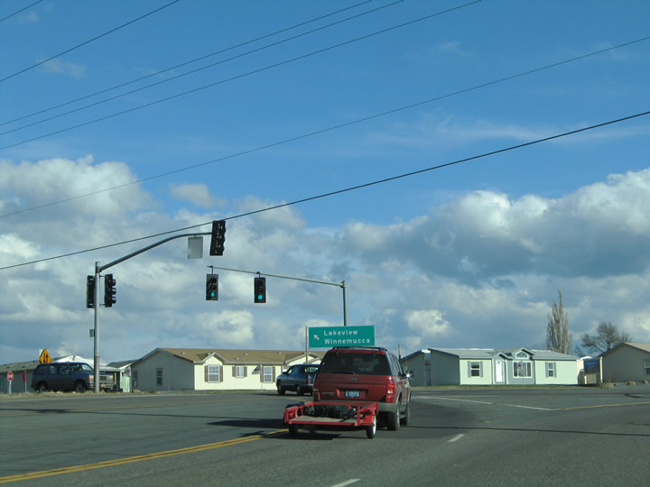
| Southbound OR 39 (6th Street) at OR 140 (Klamath Falls-Lakeview Highway). Winnemucca is a 298 mile drive southeast from Klamath Falls. OR 140 heads east to Lakeview and from there to U.S. 95 in northwestern Nevada. The Winnemucca to the Sea Highway follows U.S. 95 south from Nevada 140 to Winnemucca. 04/01/05 |
|
| OR 39 south & OR 140 westbound after their merge east of Altamont. The pair follow the two lane Klamath Falls-Malin Highway south to the Southside Expressway and their split. OR 39 in conjunction with SR 139 and SR 299 east lead travelers southeast 90 miles to Alturas. 04/01/05 |
|
| Southbound at the OC&E Trail, a rails to trail facility through the Klamath Falls Area. The 100 mile trail follows the bed of the former Oregon, California, and Eastern Railroad. The OC&E Railroad used to carry cattle and timber goods on its trek through the northwest. The line is paved west of OR 39 for a distance of eight miles. East of OR 39, the remaining distance to Bly and the Sycan Marsh is unpaved. 04/01/05 |
|
| OR 140 westbound prepares to split from OR 39 (Klamath Falls-Malin Highway) for the Southside Expressway. The Southside Expressway travels west from OR 39 to Klamath Falls International Airport and U.S. 97 at Stewart Lenox. 04/01/05 |
|
| OR 140 departs OR 39 south for the Southside Expressway west. The expressway travels 5.8 miles between OR 39 and U.S. 97 south of Klamath Falls. OR 140 continues west from U.S. 97 to 69 miles to OR 62 north of Medford. 04/01/05 |
|
| OR 39 (Klamath Falls-Malin Highway) travels solo southward to Merrill and the California state line. 04/01/05 |
|
| The Burlington Northern-Santa Fe Railroad line passes over OR 39 south of the intersection with Henley Road. 04/01/05 |
|
| The C Canal Aqueduct crosses over OR 39 (Klamath Falls-Malin Highway) just south of the railroad overpass. C Canal joins A and B Canals east of Altamont with Spring Lake to the south. 04/01/05 |
|
| OR 39 south encounters a third crossing, this time the Lose River Diversion Channel. The manmade waterway (United State Bureau of Reclamation) flows between the Lost and Klamath Rivers. 04/01/05 |
|
| Nearing the Dorris turn-off onto Cross Road on OR 39 (Klamath Falls-Malin Highway) southbound. Cross Road (Lower Klamath Highway) travels west seven miles to U.S. 97. U.S. 97 in turn heads south 12 miles to Dorris, California. 04/01/05 |
|
| Southbound at the intersection with Cross Road west and Dehlinger Lane east. Use Cross Road west to Stukel and Spring Lake. Midland lies one mile north of the Cross Road end at U.S. 97 otherwise. 04/01/05 |
|
| Continuing south on OR 39 (Klamath Falls-Malin Highway) beyond the intersection with Cross Road. 04/01/05 |
|
| OR 39 turns southeast along the parallel Southern Pacific Railroad line and an adjacent power after the intersection with Matney Road. 04/01/05 |
|
| Approaching the intersection with Merill Pit Road on OR 39 south. Travel Merill Pit Road south 3.1 miles to SR 161 at the Klamath Basin National Wildlife Refuge. The Klamath Marsh area was created in 1958 after the U.S. Government purchased 16,400 from the Klamath Indians. 40,646 acres now entail the Wildlife Refuge in the swampy areas along the California and Oregon state line. 04/01/05 |
|
| OR 39 (Klamath Falls-Malin Highway) crosses a the Lost River at the settlement by the same name. The river meanders across OR 39 between Merill Pit and Anderson Roads. 04/01/05 |
|
| Entering the village of Merrill on OR 39 southbound. Merrill, home to approximately 887 people, provides a small array of traveler services along OR 89 before it crosses the California state line. The community lies at 4067 feet above sea level. 04/01/05 |
|
| OR 39 (Front Street) expands to three lanes through the community of Merrill. Pictured here is the townscape and Merrill water tower. 04/01/05 |
|
| A distance sign posted east of Merrill features the distances to Tulelake, California (via SR 139 south) and Malin, Oregon (via the continuation of the Klamath Falls-Malin Highway. 04/01/05 |
|
| One quarter mile west of the OR 39 split with the Klamath Falls-Malin Highway. Oregon Legislative Route #50 comprises the Klamath Falls-Malin Highway east from Merrill seven miles to Malin and 10.5 miles to the California state line (Old Alturas Highway). OR 39 turns southeasterly along the Hatfield Highway 2.4 miles to Hatfield and the state line. 04/01/05 |
|
| Traffic continuing east along the Klamath Falls-Malin Highway must stop at the turn off from OR 39 (Hatfield Highway) south. OR 39 meets SR 161 (State Line Road) at the transition to SR 139. Klamath Falls-Malin Highway intersects Harpold Road in 5.5 miles. 04/01/05 |
|
| The final OR 39 southbound reassurance marker, posted after the split with the Klamath Falls-Malin Highway. OR 39 (Hatfield Highway) continues through farm fields to the state line. 04/01/05 |
|
| The mountain rain shadow provides for an arid climate in Klamath County and thus allows for ripe conditions for sporadic brush fires. Pictured here is a small brush fire near the California state line along OR 39 (Hatfield Highway) southbound. 04/01/05 |
|
| Welcome to California sign posted at the OR 39 (Hatfield Highway) crossing into Modoc County. OR 39 ends and SR 139 begins ahead of the eastern terminus of SR 161 (State Line Road). SR 139 continues southeast to Tulelake and SR 299 at Canby. SR 161 straddles the state border west through the Lower Klamath National Wildlife Refuge to U.S. 97. 04/01/05 |
|
| U.S. 97 Business (Esplanade Street) northbound merges with OR 39 (Alameda Avenue) northbound east of downtown Klamath Falls. From there the tandem travel northward along a 1.6 mile long expressway (Kit Carson Way) to U.S. 97 at north Klamath Falls. Pictured here is the four-land divided highway north of the intersection with Portland Street. 04/01/05 |
|
| U.S. 97 Business & OR 39 (Kit Carson Way) northbound on the approach to the intersection with Biehn Street and Campus Drive. Campus Drive spurs east of Kit Carson Way to the Oregon Institute of Technology and the Winema National Forest headquarters office. 04/01/05 |
|
| A set of mast arm supported traffic lights govern the movements between U.S. 97 Business & OR 39 (Kit Carson Way) and Campus Drive north / Biehn Street south. Biehn Street leads into residential areas of Klamath Falls on the south drive to Oregon and Lakeview Drives. 04/01/05 |
|
| Traffic along Kit Carson Way northbound defaults onto U.S. 97 (Dalles California Highway) northbound beyond the Campus Drive intersection. U.S. 97 straddles the shores of Upper Klamath Lake on the northward drive to Chiloquin, Crater Lake National Park, and Chemult. 04/01/05 |
|
| An end shield for OR 39 resides at the U.S. 97 Business & OR 39 northbound merge with U.S. 97 (Dalles California Highway). U.S. 97 Business is ignored. 04/01/05 |
Page Updated 11-10-2005.

 OR 39 South


 and OR 39 north


